The Department of Geography and Earth Sciences at the University of North Carolina, Charlotte is searching for a tenure-track assistant professor in the area of Atmospheric Sciences.
Announcing two new microlearning resources available now on Unidata eLearning. Microlearning is a modular approach to online learning that focuses on a single objective. These resources can be appended to existing activities for just-in-time foundational scaffolding in a quick five to ten minutes. The duo of modules releasing today focus on foundational data literacy within the Earth Systems Sciences.
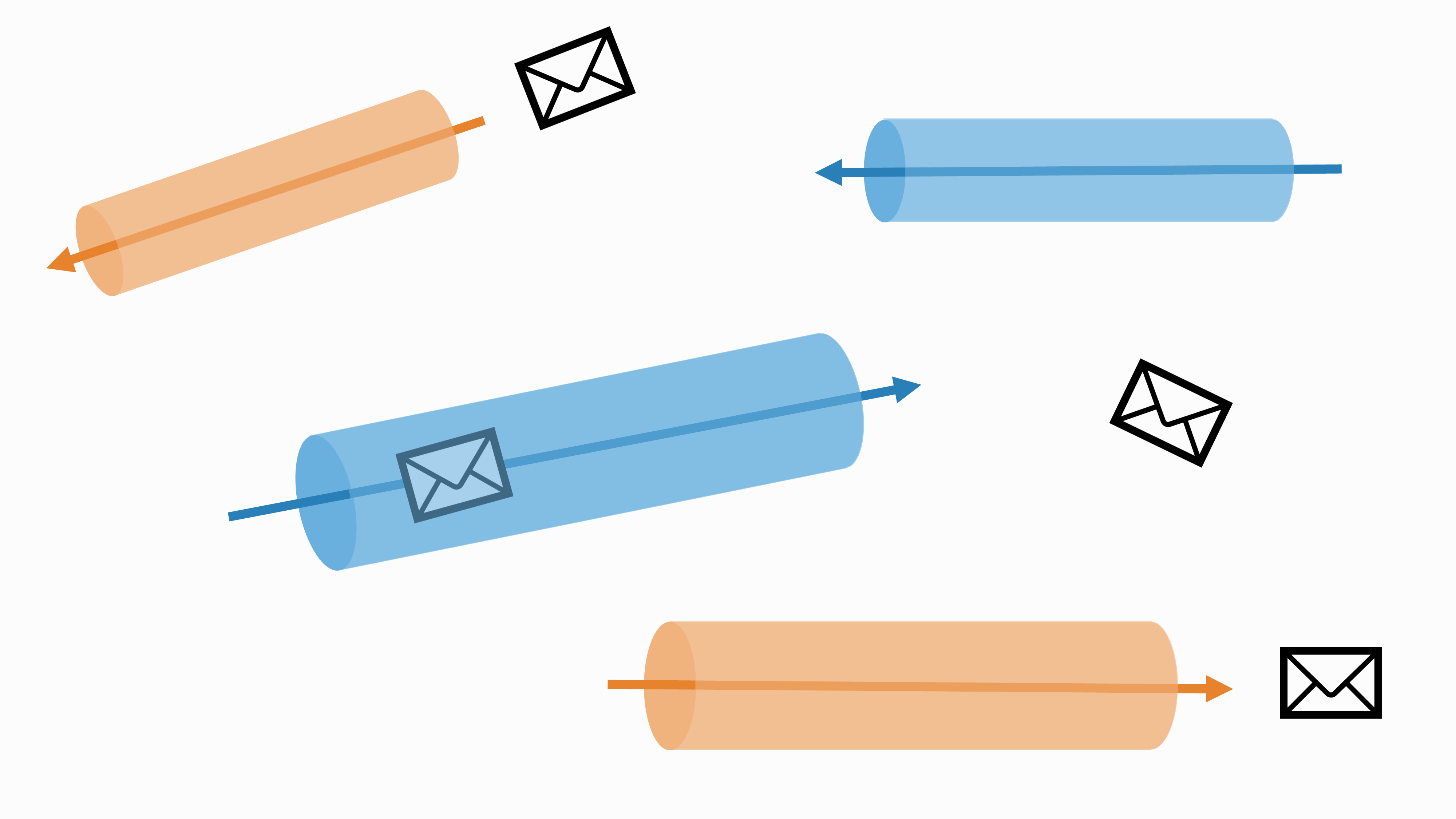
Today we're going to look at another python-awips example notebook. If you aren't familiar with python-awips, please take a look through our previous AWIPS Tips about the package. The notebook we're looking at today is about calculating accumulated precipitation and displaying a region of interest.
Andrea Zonca from the San Diego Supercomputing Center and Jeremy Fischer from Indiana University have been awarded the 2023 Russell L. DeSouza Award by the Unidata Users committee. The DeSouza Award honors “substantive and sustained contributions of energy and expertise to the geosciences community that reflect the ideals of the Unidata Program's mission” to better serve the geosciences.
Version 5.1.9 of the netCDF Operators (NCO) has been released. NCO is an Open Source package that consists of a dozen standalone, command-line programs that take netCDF files as input, then operate (e.g., derive new data, average, print, hyperslab, manipulate metadata) and output the results to screen or files in text, binary, or netCDF formats.
The NCO project is coordinated by Professor Charlie Zender of the Department of Earth System Science, University of California, Irvine. More information about the project, along with binary and source downloads, are available on the SourceForge project page.
Today we're going to focus on a few specific tools found in the Tools menu in CAVE. All three tools are related to Distance. We'll take a look at the Distance Bearing, Distance Scale, and Distance Speed tools.