News from NSF Unidata
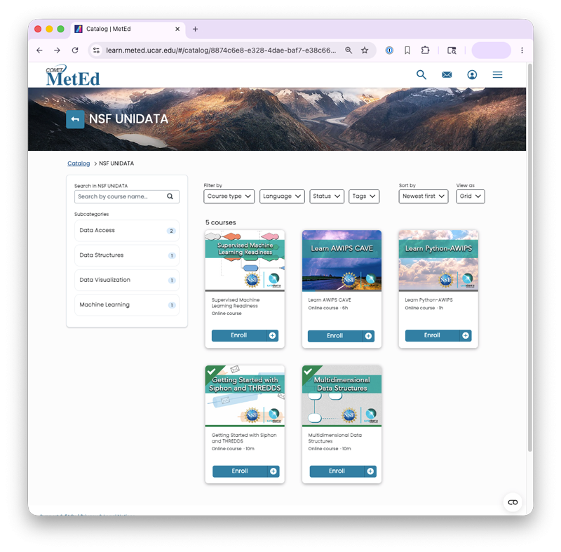
NSF Unidata Science Gateway Education Hub
The NSF Unidata Science Gateway Education Hub is a single stop for all NSF Unidata learning resources. Discover self-paced modules, instructor-led training, opportunities for collaboration and support, and more.