Articles tagged: Data

Nov 2, 2026

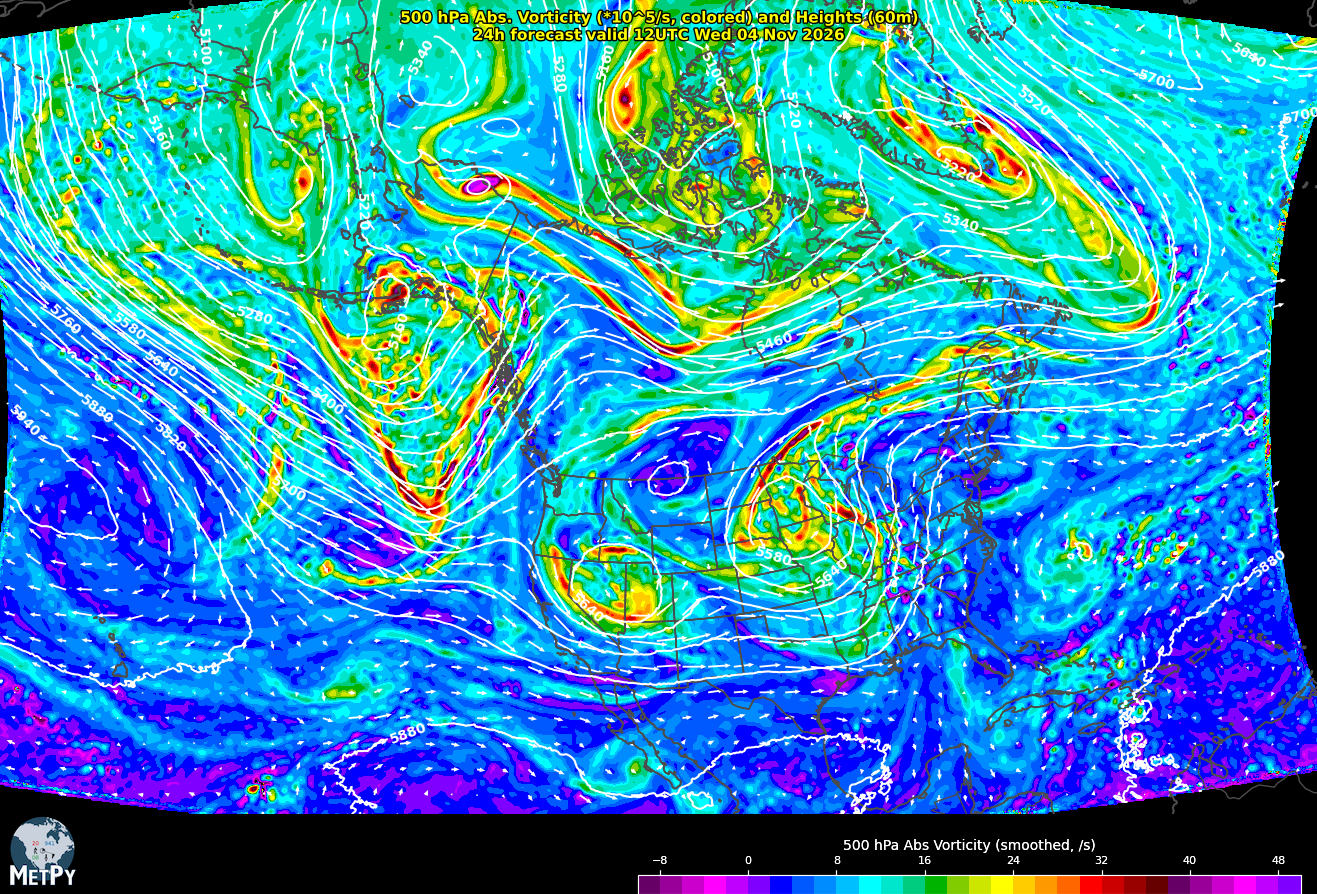
The NSF Unidata Program Center is pleased to announce the availability of Rapid Refresh Forecast System (RRFS) and RRFS Ensemble Forecast System (REFS) output in NSF Unidata datastreams.

Oct 28, 2026

The Unidata Integrated Data Viewer (IDV) can now directly access the NEXRAD AWS Archive of archived Level II radar data. 

Jan 21, 2026

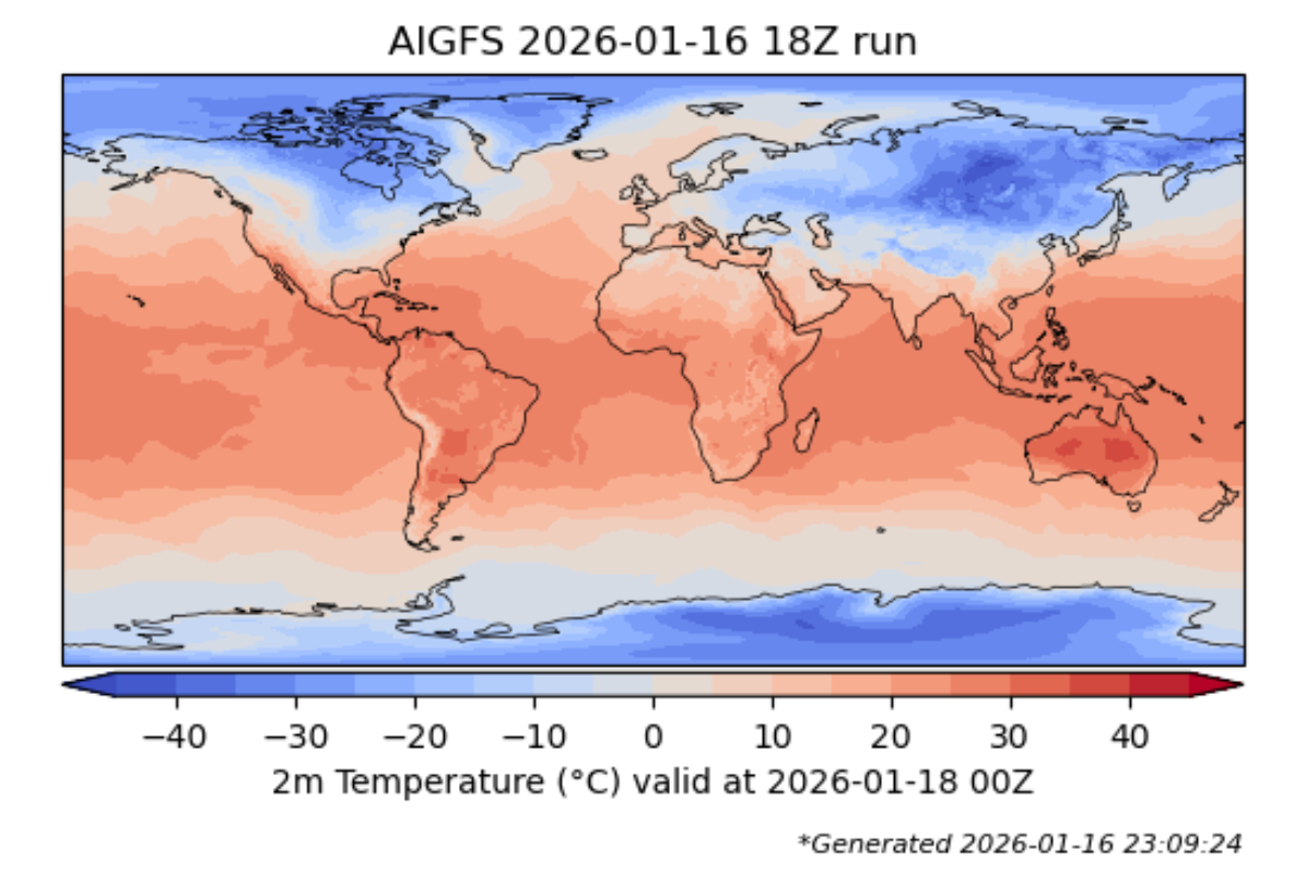
In partnership with the NOAA/NWS National Centers for Environmental Prediction (NCEP) through the Cooperative Opportunity for NCEP Data Using IDD Technology (CONDUIT) program, the NSF Unidata Program Center is pleased to announce the availability of artificial intelligence (AI)-driven global weather prediction model output in NSF Unidata datastreams.

May 7, 2025

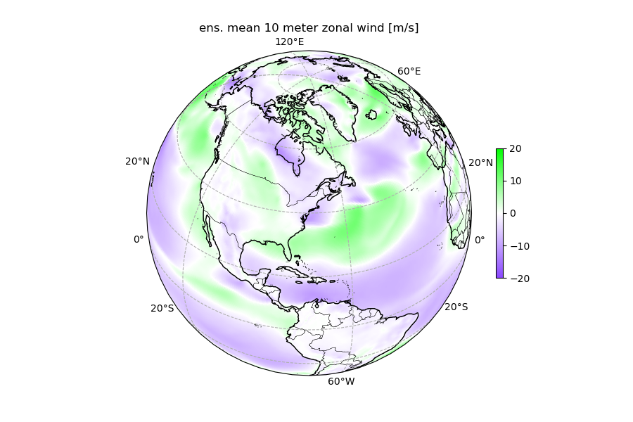
At NSF Unidata, we have successfully implemented and re-used weights from several global AI-NWP (Artificial Intelligence-Numerical Weather Prediction) models (FourCastNet, Pangu) using the NVIDIA earth2mip package. We can confirm that these models are open source and can be reused on high-end, but increasingly standard, HPC hardware. While traditional numerical weather prediction requires massive supercomputing resources, these AI models can potentially deliver similar or better results using standard GPU hardware for inference.

Feb 10, 2025
Book cover

The StatQuest Illustrated Guide to Neural Networks and AI: With hands-on examples in PyTorch!!! strikes an excellent balance between accessibility and technical depth. Josh Starmer, PhD, builds on his previous work while making neural networks approachable for both students and practitioners. This book has a similar feel and vibe to the previous book, The StatQuest guide to Machine Learning.

Sep 16, 2024
NOAA Logo

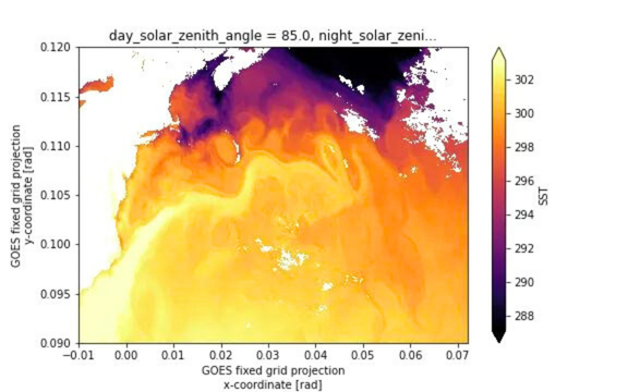
NOAA's Satellite Products and Services Division is looking for feedback on community use of the GOES Rebroadcast system (GRB).

Sep 9, 2024

At NSF Unidata, we have been supporting and developing netCDF standards and packages since the original release of netCDF in 1990. We strongly believe in the usefulness of netCDF Common Data Model for Earth Systems Science data, and for other types of data! NetCDF files can be used efficiently in machine learning modeling applications and can be used as a virtual Zarr datasets.

NSF Unidata has been urged by our community to investigate options to allow netCDF to work more easily with modern cloud-based infrastructure. Based on the strong interest and rapid adoption of Zarr by the community, the netCDF team decided to begin working with the Zarr community to ensure that these two widely used data storage mechanisms can interoperate if necessary.

Jun 6, 2024
Process of conovolving a filter with an image

Convolutional Neural Networks (CNNs) are a powerful class of deep learning models widely applied in Earth science for image analysis, classification, and regression problems. Leveraging the Keras framework in python, CNNs can efficiently process and extract spatial features from 2D and 3D remote sensing, model output, and other Earth Systems Science (ESS) data types.