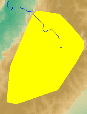
Hi all.

I tried to instance an Irregular2DSet with an convex Polygon and  it doesn't
work like I expected.

When I used either Gridded2DSet or Irregular2DSet it displays Gridded2dSet.png
and Irregular2dSet.png respectly.

I need the polygon like the Gridded2DSet, but filled like the Irregular2DSet.

How can I do it?

Thanks a lot.

Olver Hernandez
Attachment:
Gridded2DSet.png
Description: PNG image
Attachment:
Irregular2DSet.png
Description: PNG image
visad archives: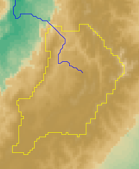