At 11:16 28/09/2003 -0600, you wrote:
Silvere-
I have been at http://www.ssec.wisc.edu/~billh/globe.gif and found exactly
what I am looking for. From the refering page from Visad "See the
visad/examples/SatDisplay.java program for an example of how to use this
capability." I haven't had the time yet, I admit.

What I would like to do is a "best resolution" real time global cloud cover
with Java3D. I can't use the Global Montage
http://www.ssec.wisc.edu/data/comp/latest_moll.gif since the projection
system seems difficult to use in Java3D and resolution as well as
continental contour don't fit my needs. But it appears you are using the
kind of data I am looking for.
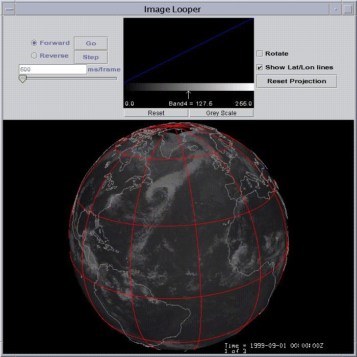
The globe.gif image is from an application I wrote a long time
ago so I guess I'm best qualified to answer.

The latest_moll.gif image is generated from a satellite composite
in McIDAS AREA file format with a Mollweide projection that has
been displayed in McIDAS. The globe.gif image is a display in VisAD
of an AREA file similar to the one in latest_moll.gif.  VisAD supports
most of the McIDAS navigation modules, so if your data were stored
in a McIDAS AREA file, you could use SatDisplay to map it to a globe.
I thought about:
1 getting a "real time high resolution" image may be not in public ftp,
with a global montage like projection VISAD could read or a mercator one
like your bigmap
2 changing the projection with visad if needed to get something like bigmap
3 applying and displaying the texture to a sphere in Java3D ( I want to
provide a real time cloud cover like earth browser but seen from below,
that why I need high res, and Java3D)
If all you have is a GIF or JPEG, mapping to a sphere is going to
be a little difficult.  If your image is rectillinear and you
know the upper left corner of the image, you could use something
like the attached program to do this. This image will add a
CoordinateSystem to the domain of the image that will transform
image coordinates to lat/lon.  You can test this program by compiling
it and running:

java -Xmx128m WorldImageAdapter
ftp://ftp.unidata.ucar.edu/pub/dmurray/bigmap_541x271.jpg
Thanks.
(you'll need visad.jar and . in your classpath to compile and run)

The image is a global topography image that covers -180 to 180 lon
and 90 to -90 lat.  You could adjust the code accordingly if your
domain is smaller.

Any non-rectillinear image would require a different CoordinateSystem.

Good luck.
Thanks.
Silvere Martin-Michiellot builds the Internet future on
www.digitalbiosphere.com
__________________________________________________________________________________________