I am travelling and cannot answer your question, so am CC'ing
this to visad-list in case anyone there can. In general, please
send all questions to visad-list rather than me.
Bill
On Fri, 26 Sep 2003, [iso-8859-1] Silv�re Martin-Michiellot wrote:
> Hi,
>
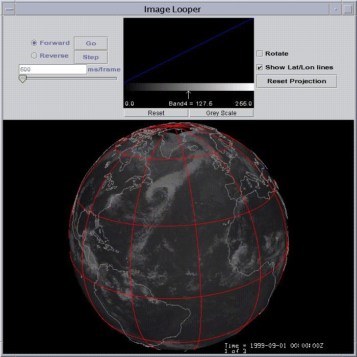
> I have been at http://www.ssec.wisc.edu/~billh/globe.gif and found exactly
> what I am looking for. From the refering page from Visad "See the
> visad/examples/SatDisplay.java program for an example of how to use this
> capability." I haven't had the time yet, I admit.
>
> What I would like to do is a "best resolution" real time global cloud cover
> with Java3D. I can't use the Global Montage
> http://www.ssec.wisc.edu/data/comp/latest_moll.gif since the projection
> system seems difficult to use in Java3D and resolution as well as
> continental contour don't fit my needs. But it appears you are using the
> kind of data I am looking for.
>
> Any advice or whatever will be welcomed.
>
> __________________________________________________________________________________________
>
> Silvere Martin-Michiellot builds the Internet future on
> www.digitalbiosphere.com
> __________________________________________________________________________________________
>
>
>