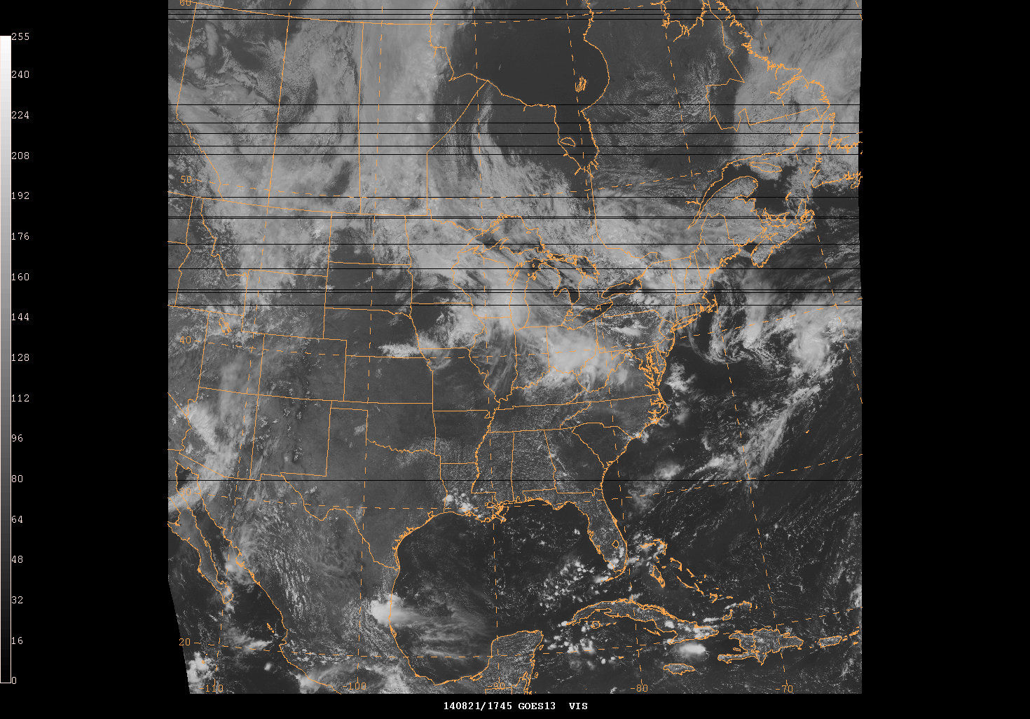
Has anyone noticed black/black lines in the GINI satellite imagery received from NOAAPORT? Not all images have this data issue, and the location of the missing data appears to be random. Another site I'm aware of ingesting data also sees the same issue, but the locations of the missing data for the same image time is different. The number of blank lines has increased this week, but was noticed last week as well. Thanks, Gregg >>>> >>>
ldm-users archives: