NOTE: The cf-satellite mailing list is no longer active. The list archives are made available for historical reasons.
Here is the attached snapshot of one of the parameter.


On Wed, Aug 22, 2012 at 7:22 PM, ghansham sangar
<ghanshamsangar@xxxxxxxxx>wrote:

> Hello Sir..
> Hope you are doing fine.
>
> I understand you point of frame of reference. Even I was also confused
> when
> I saw that dataset for the first time. But later I realized in one of the
> conversation with
> Tom Rink Sir, also, this is what came out (as told in earlier mail too):
> The orbit has an inclination of as low as 20 deg (no coverage on poles).
> The reason is to improve the temporal resolution over the tropics.
> And the sensor scans across track w.r.t to such low inclination track.
> And that is why the data is packed also in that manner (up down).
> The best thing I can do is post one snapshot generated  from toolsUI of
> one
> of the parameter displayed as image to have a better understanding of what
> exactly
> the data looks like. I know its a pretty tough scanning geometry to
> understand.
>
> regards
> Ghansham
>
>
> On Wed, Aug 22, 2012 at 2:35 AM, Tom Whittaker <whittaker@xxxxxxxx> wrote:
>
>> Hello Ghansham...
>>
>> I hope you are well.
>>
>> I believe the "scan direction" (either "up/down" or "left/right") is a
>> matter of perspective -- if the frame of reference is on the
>> satellite, looking "forward" along the flight path, then I would be
>> more inclined to say "left/right", as "up/down" would refer to some
>> vertical scanning -- from my frame of reference on the satellite.
>>
>> Regarding CF Conventions.  There are no conventions for dealing with
>> this.  There have been discussions in the past dealing with "swath
>> data", and you might have a Google of that (plus 'netcdf') and see
>> what others have been thinking about.
>>
>> There is also at least one reference to some data already being
>> written to hdf files, which might prove of interest.  The sad fact is
>> that the satellite community for the longest time did not embrace
>> NetCDF, and so we must play "catch-up" with the people who have
>> defined conventions for model/gridded data and in-situ data.
>>
>> My take is that some common characteristics (like 'band' and
>> 'central_wavelength' (or _wavenumber) should be defined using
>> conventions and "standard_names", but that characteristics of
>> particular platforms must, by necessity, be defined for those
>> platforms.  I also think that the use of the "standard_names" will go
>> a long way toward helping application developers in writing file
>> readers that can understand some of the basic structures of the data,
>> while at the same time providing end users an opportunity to write
>> specialized interfaces that meet their particular research or
>> operational needs.
>>
>> Best wishes,
>>
>> tom
>>
>>
>> --
>> Tom Whittaker
>> University of Wisconsin-Madison
>> Space Science & Engineering Center (SSEC)
>> Cooperative Institute for Meteorological Satellite Studies (CIMSS)
>> 1225 W. Dayton Street
>> Madison, WI  53706  USA
>> ph: +1 608 262 2759
>>
>
>
Attachment:
mt_snap1.PNG
Description: PNG image
cf-satellite archives: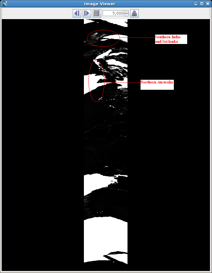