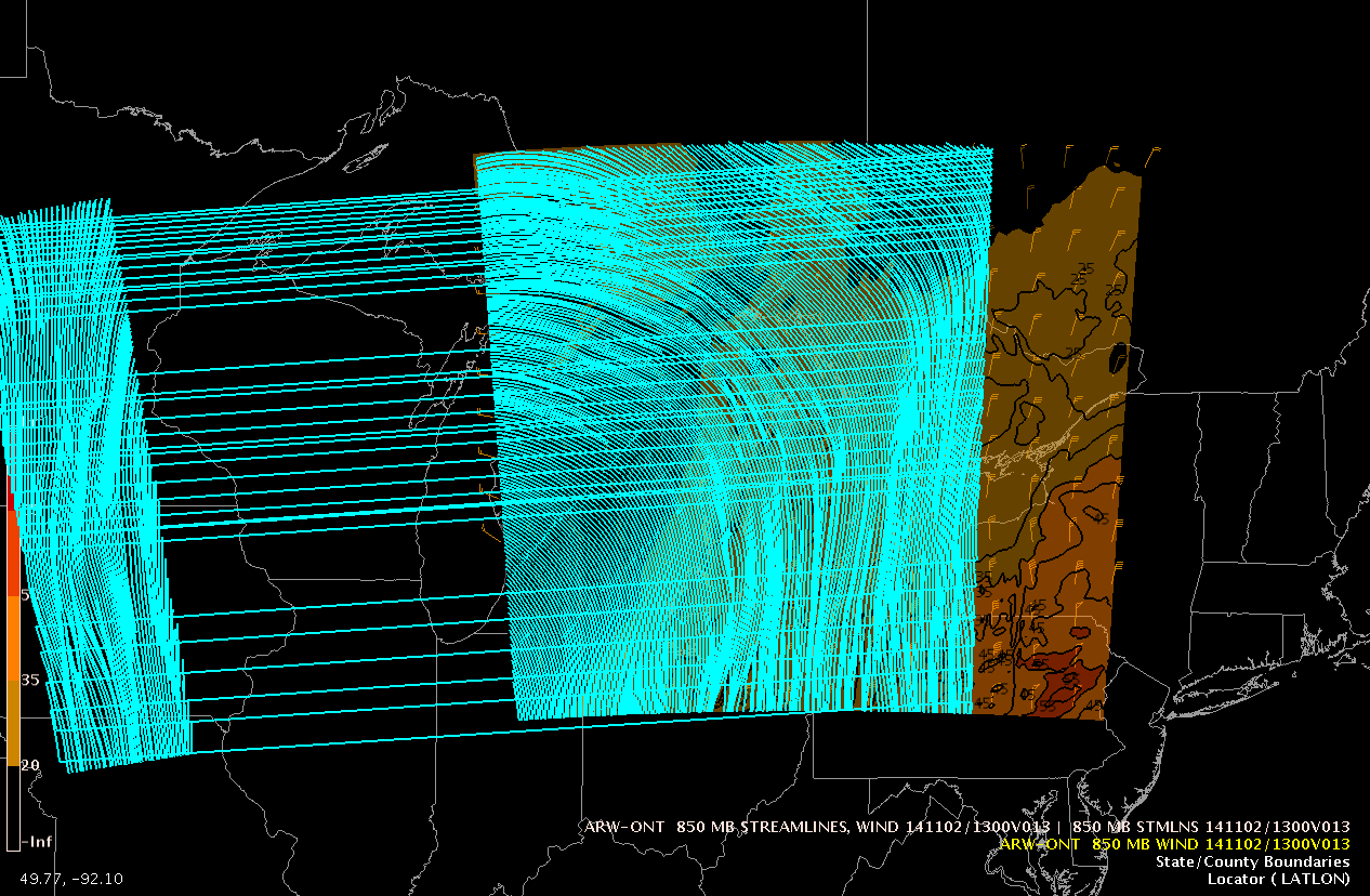
While using the CAVE/NCP perspective I've come across a rather strange
problem. When plotting barbs or isotachs the plot is normal. However, when
I plot streamlines the contours are shifted to the west and stretched into
Minnesota and Iowa, when my WRF-ARW domain ends at the eastern shore of
Lake Erie. Enclosed are two screen captures to illustrate the problem.

Brian Bernard
Attachment:
850_wind_barbs.png
Description: PNG image
Attachment:
850_streamlines.png
Description: PNG image
awips2-users archives: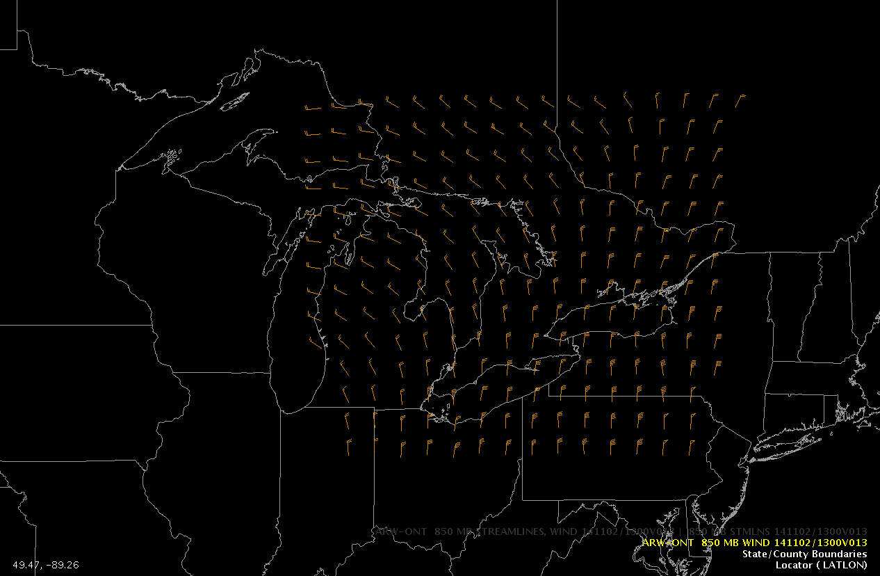