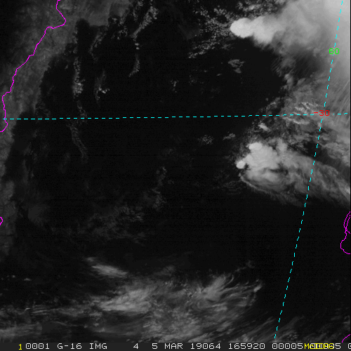
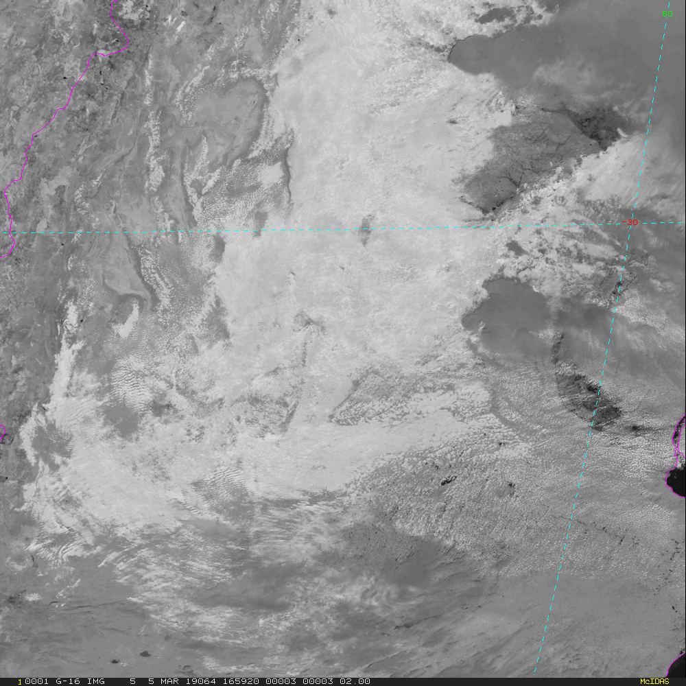
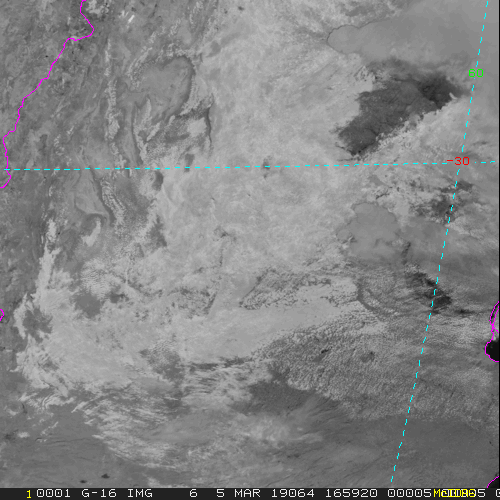
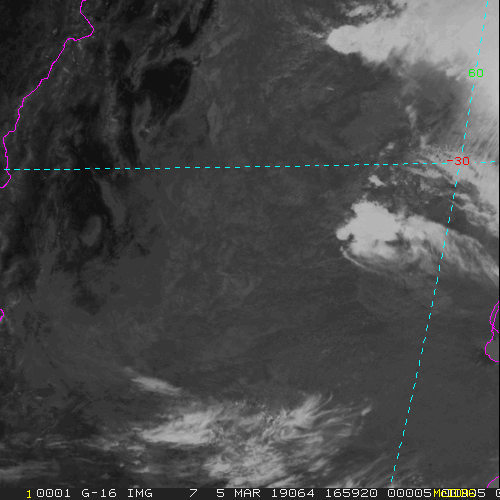
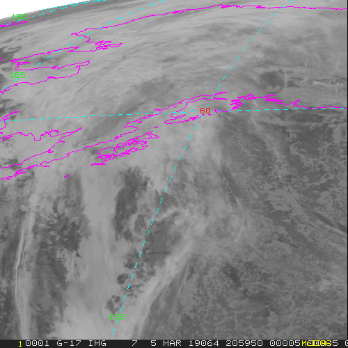
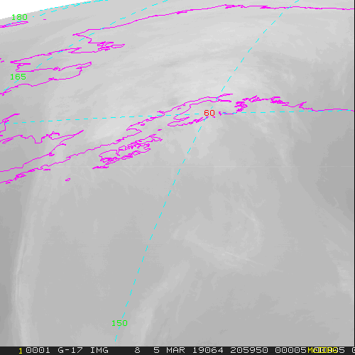
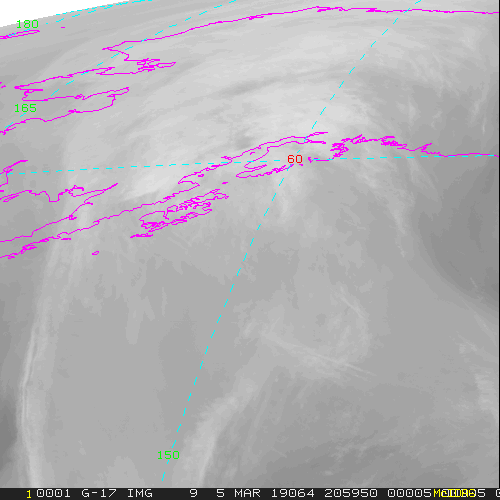
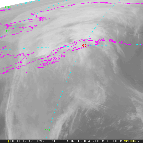
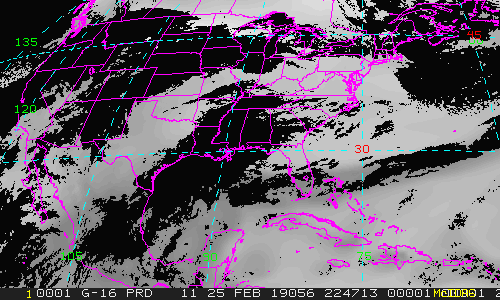
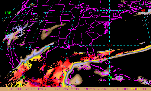
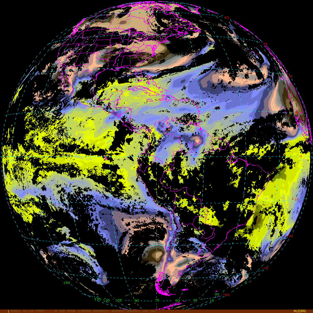
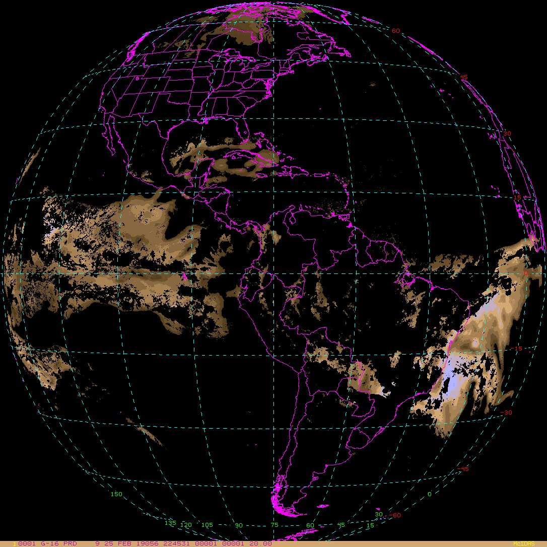
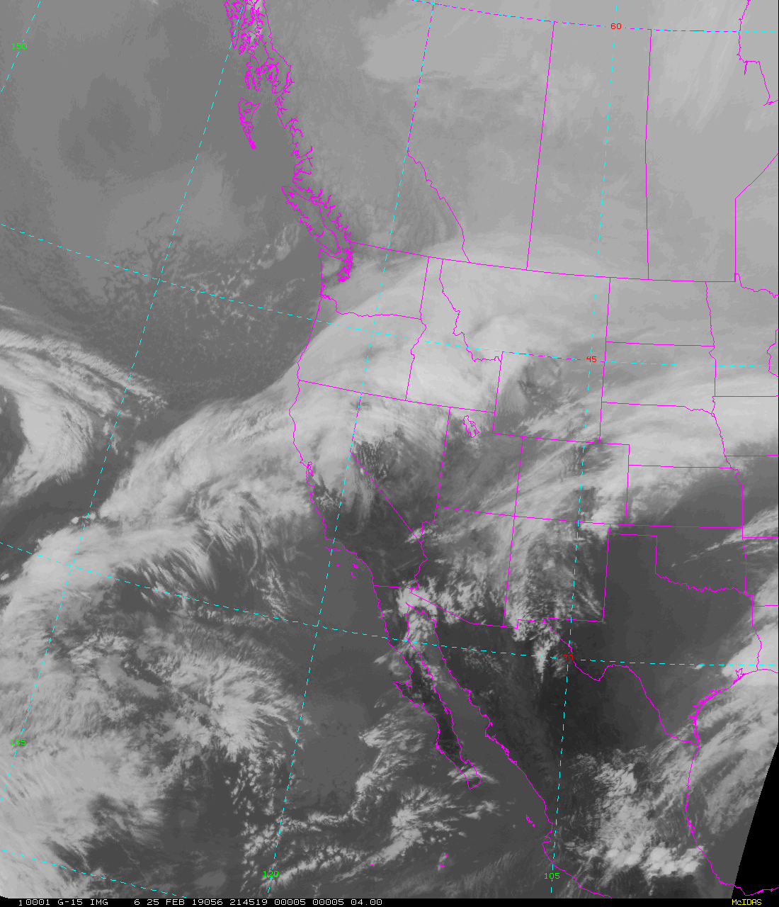
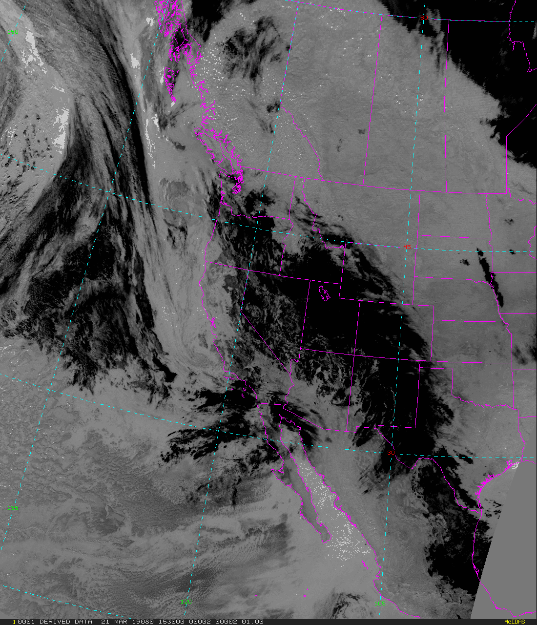
| GOES-East/West Sectorized Cloud and Mositure Imagery (SCMI) | |
|---|---|
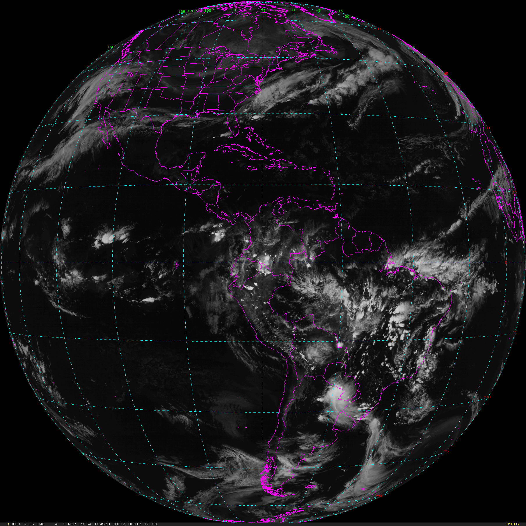
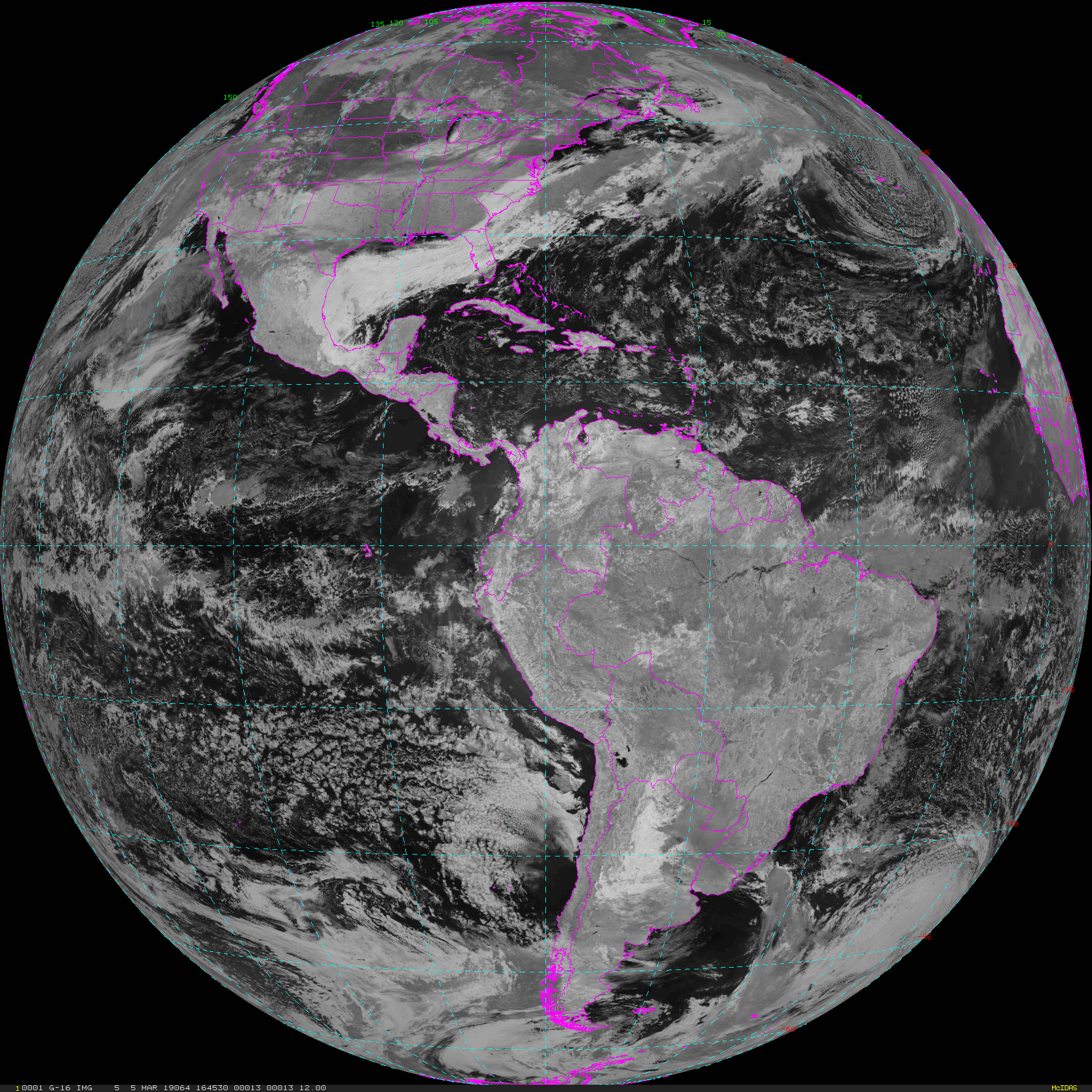
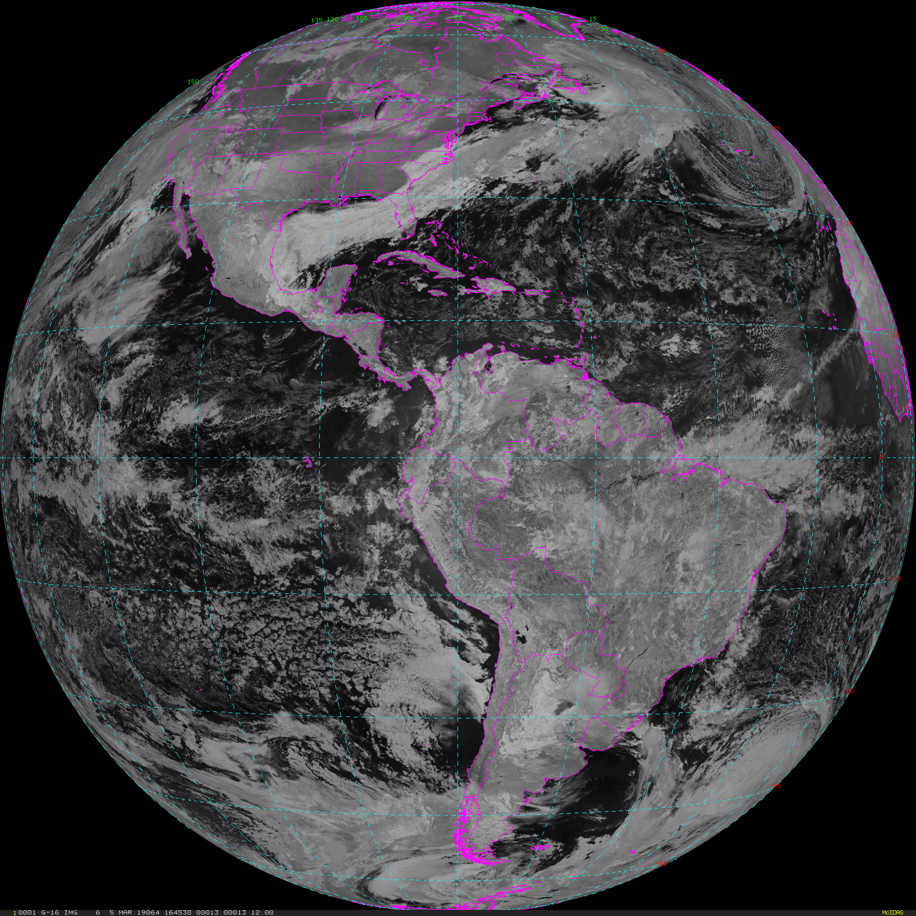
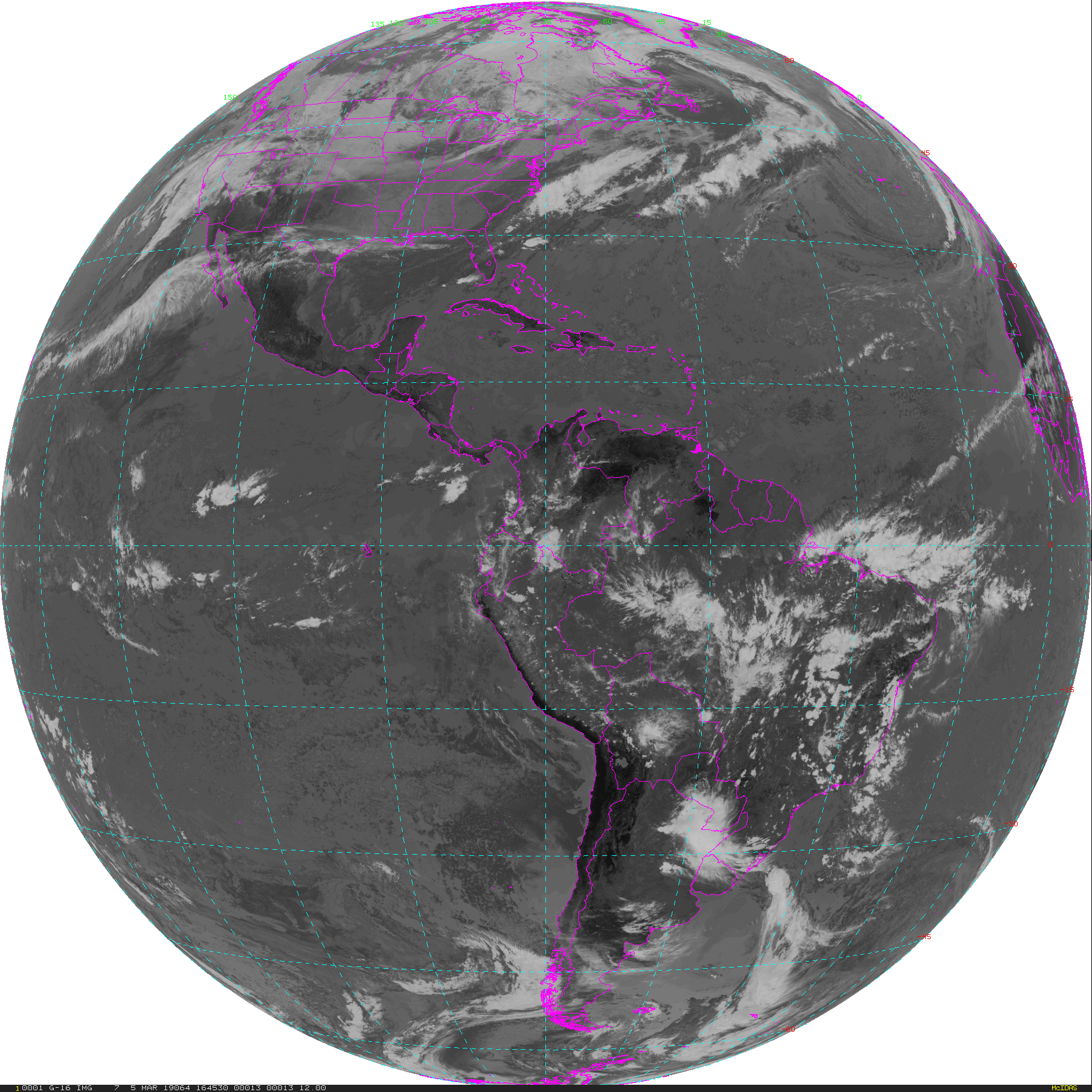
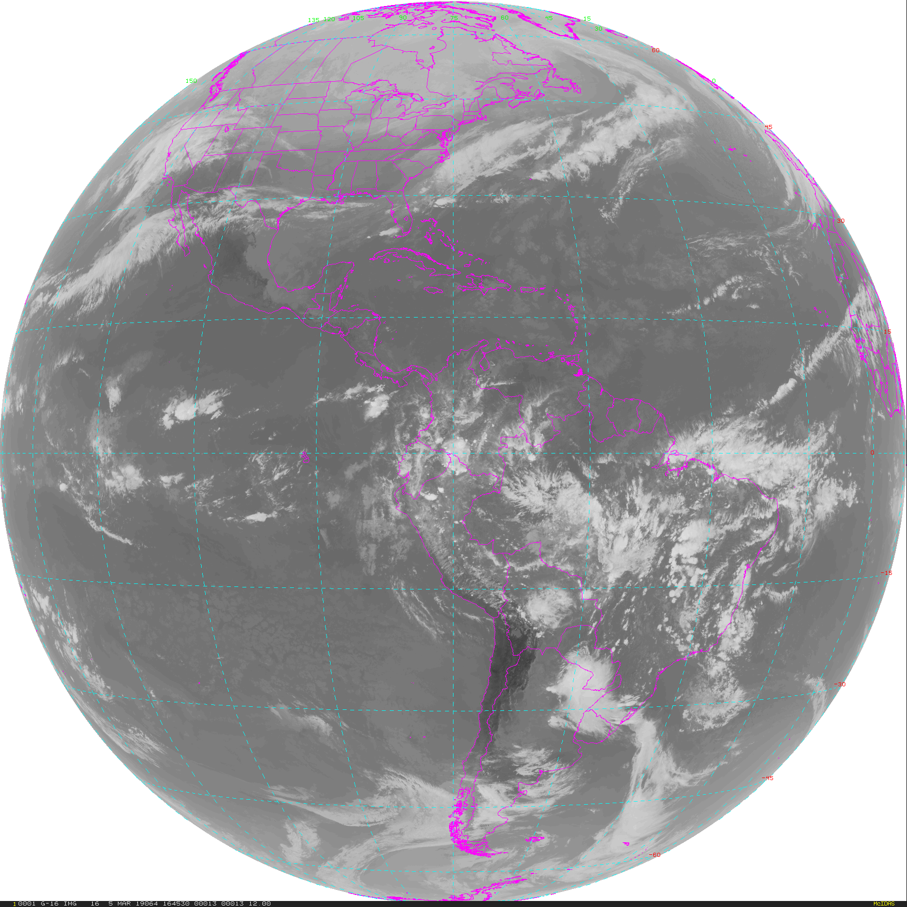
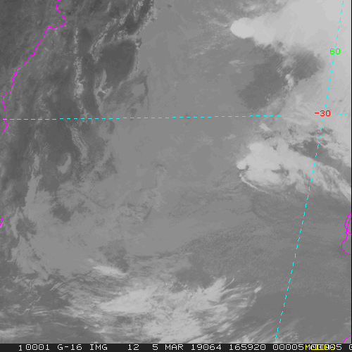
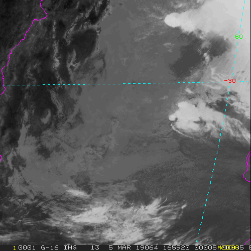
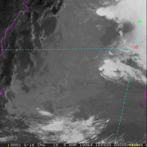
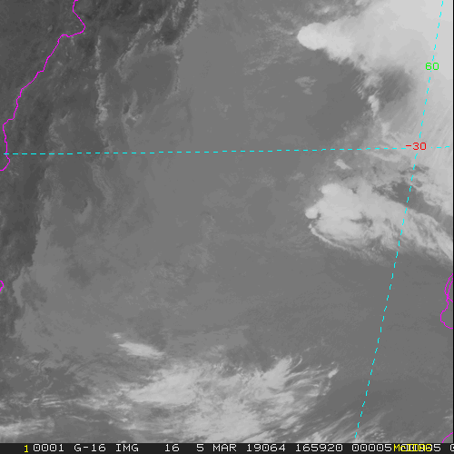
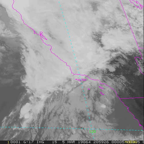
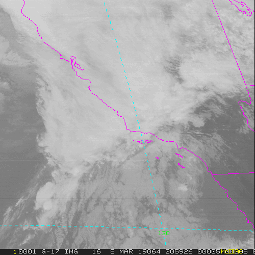
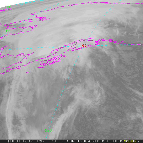
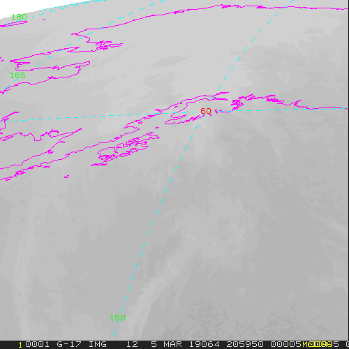
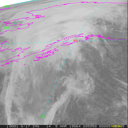
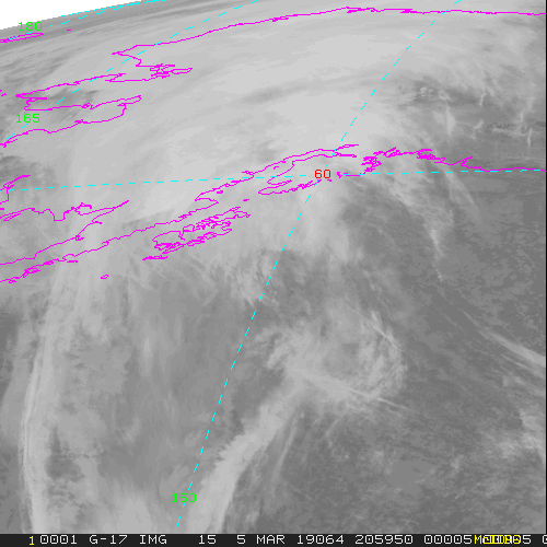
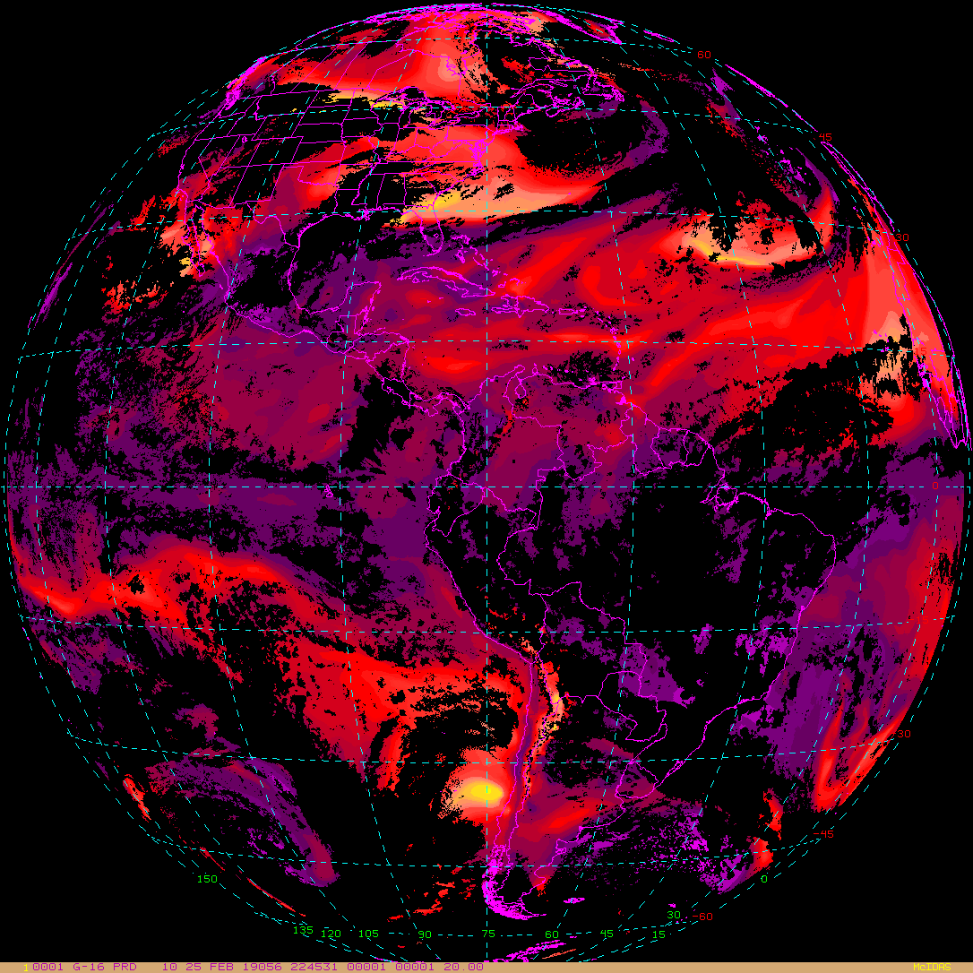
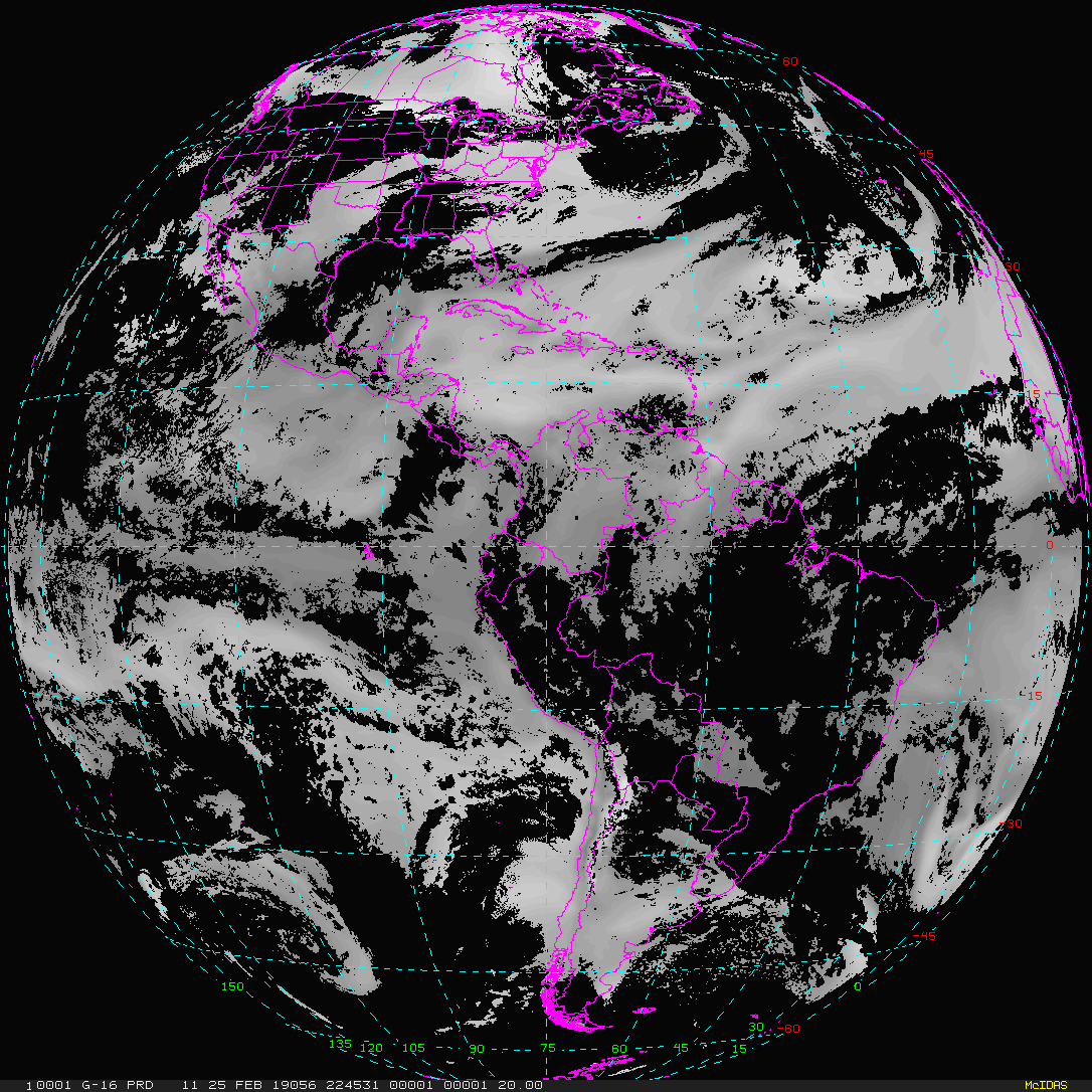
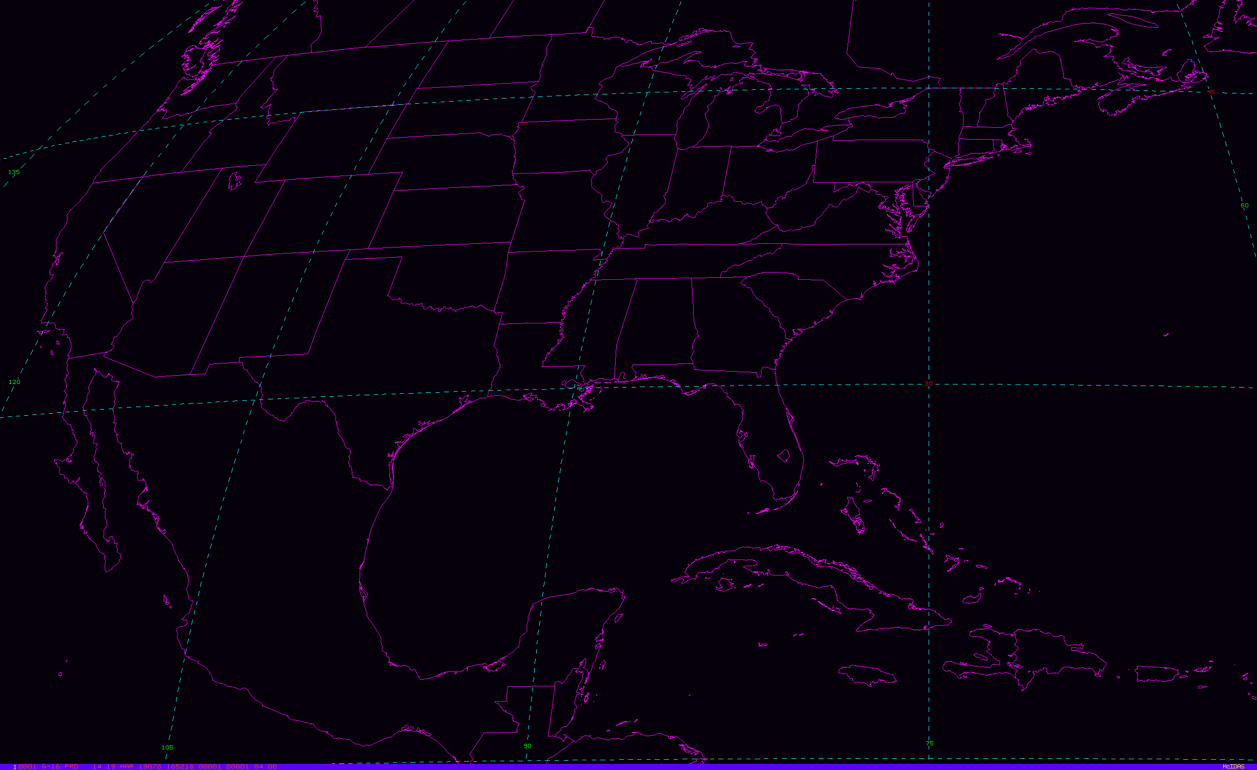
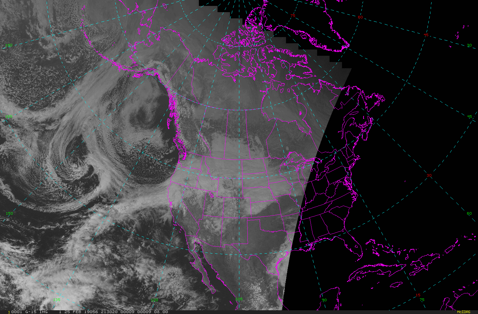
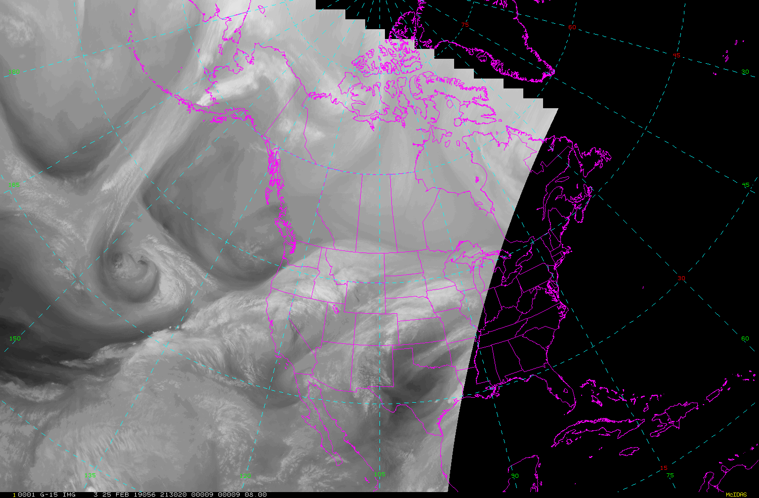
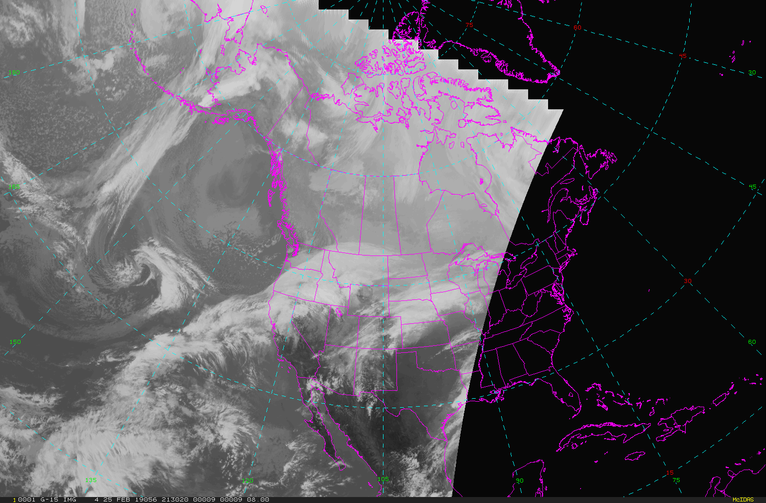
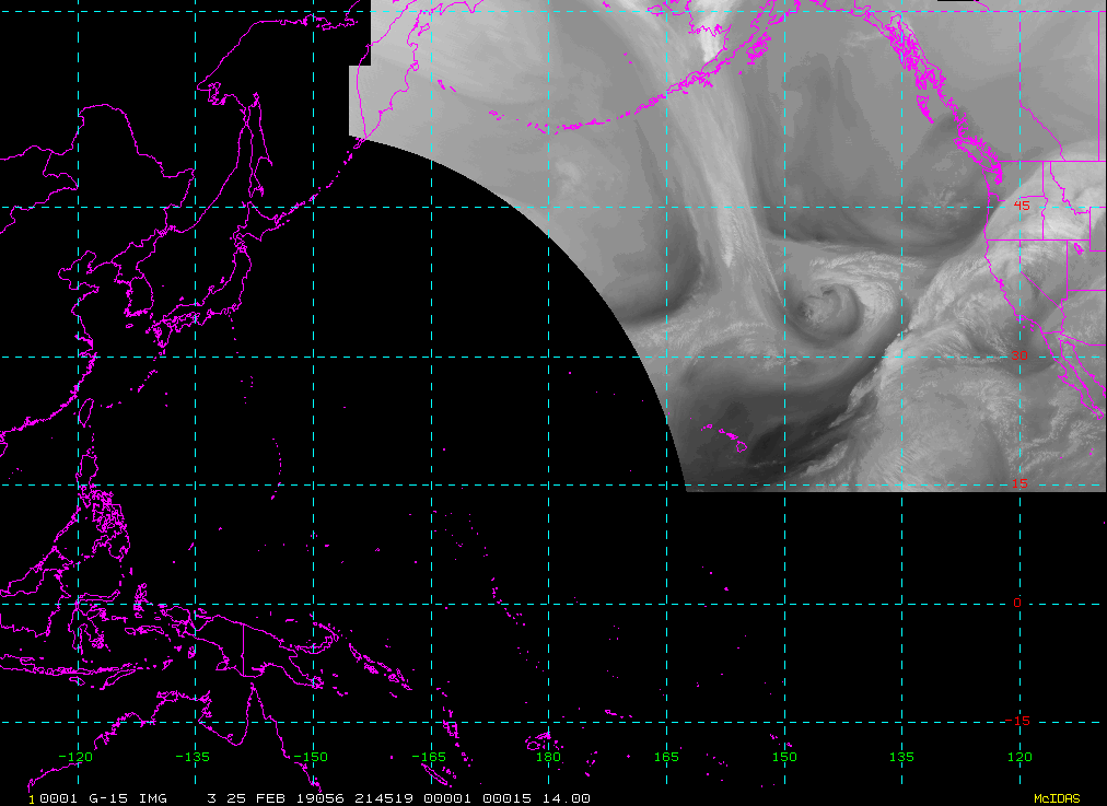
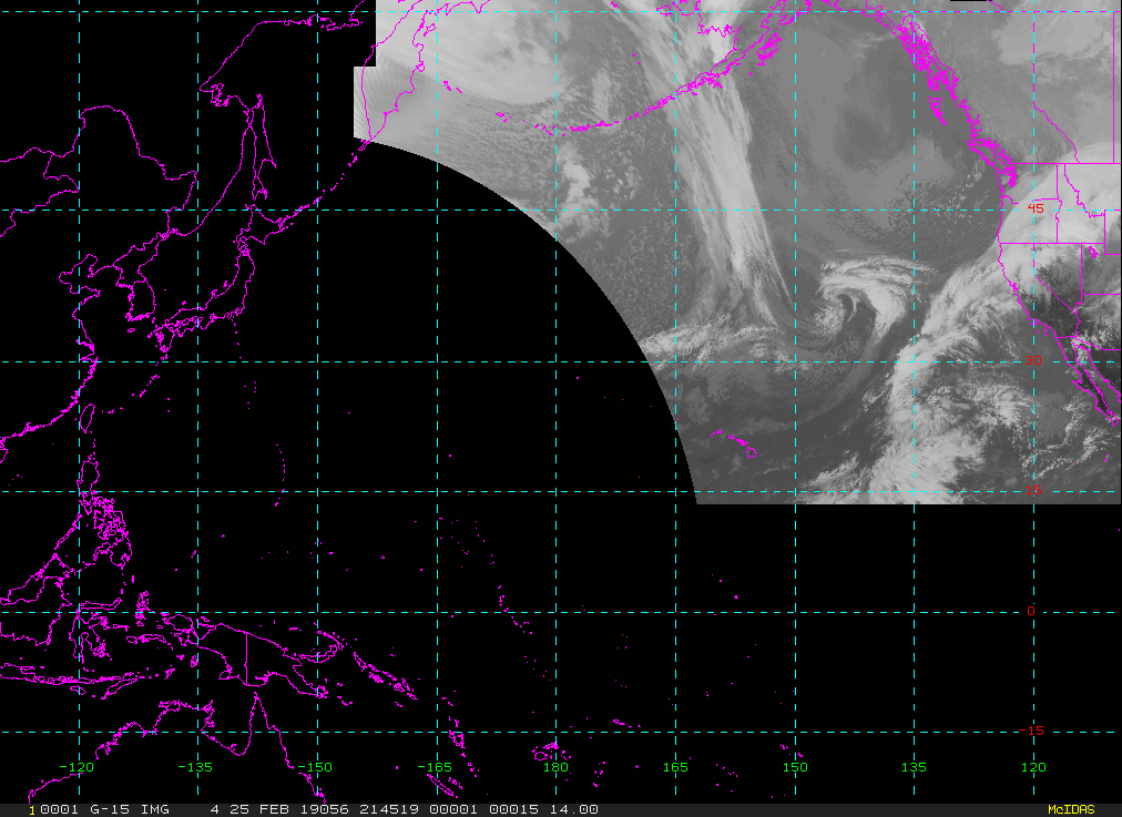
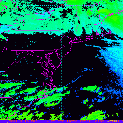
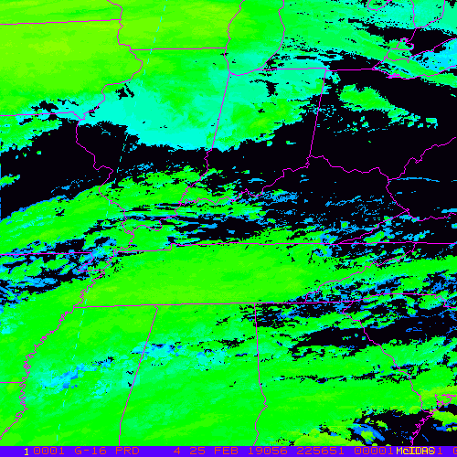
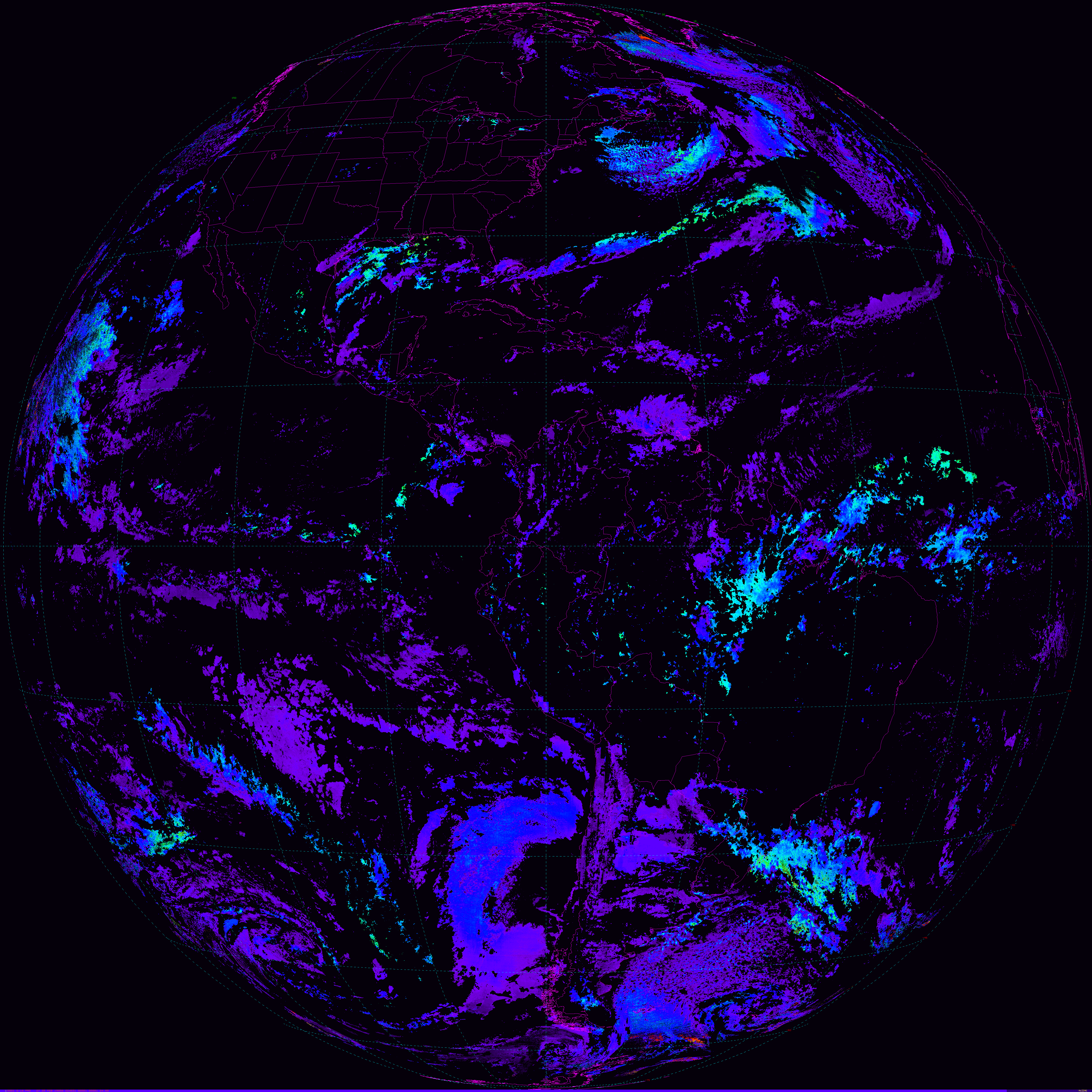
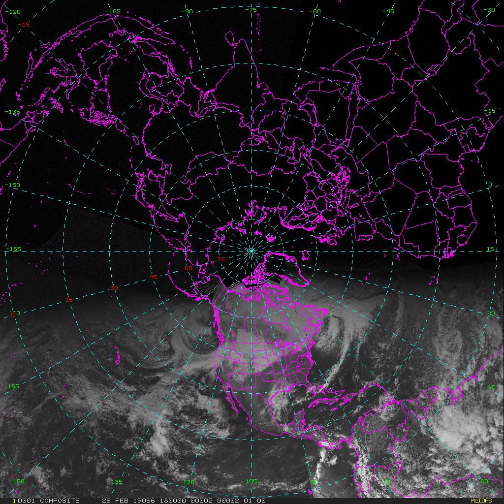
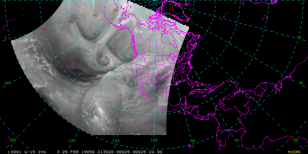
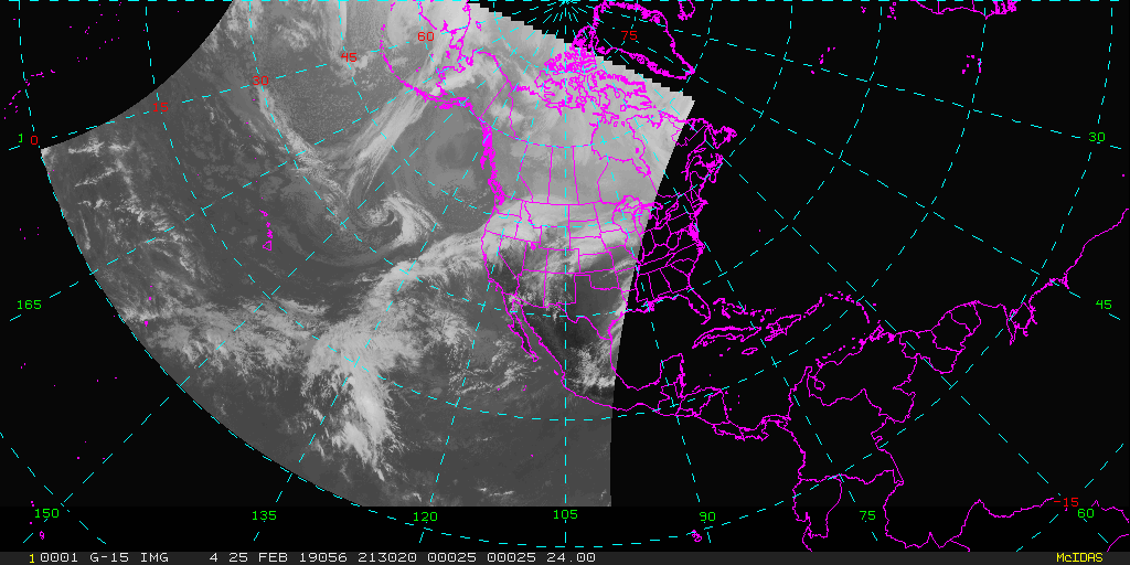
| GOES-East SCMI | GOES-West SCMI |
|
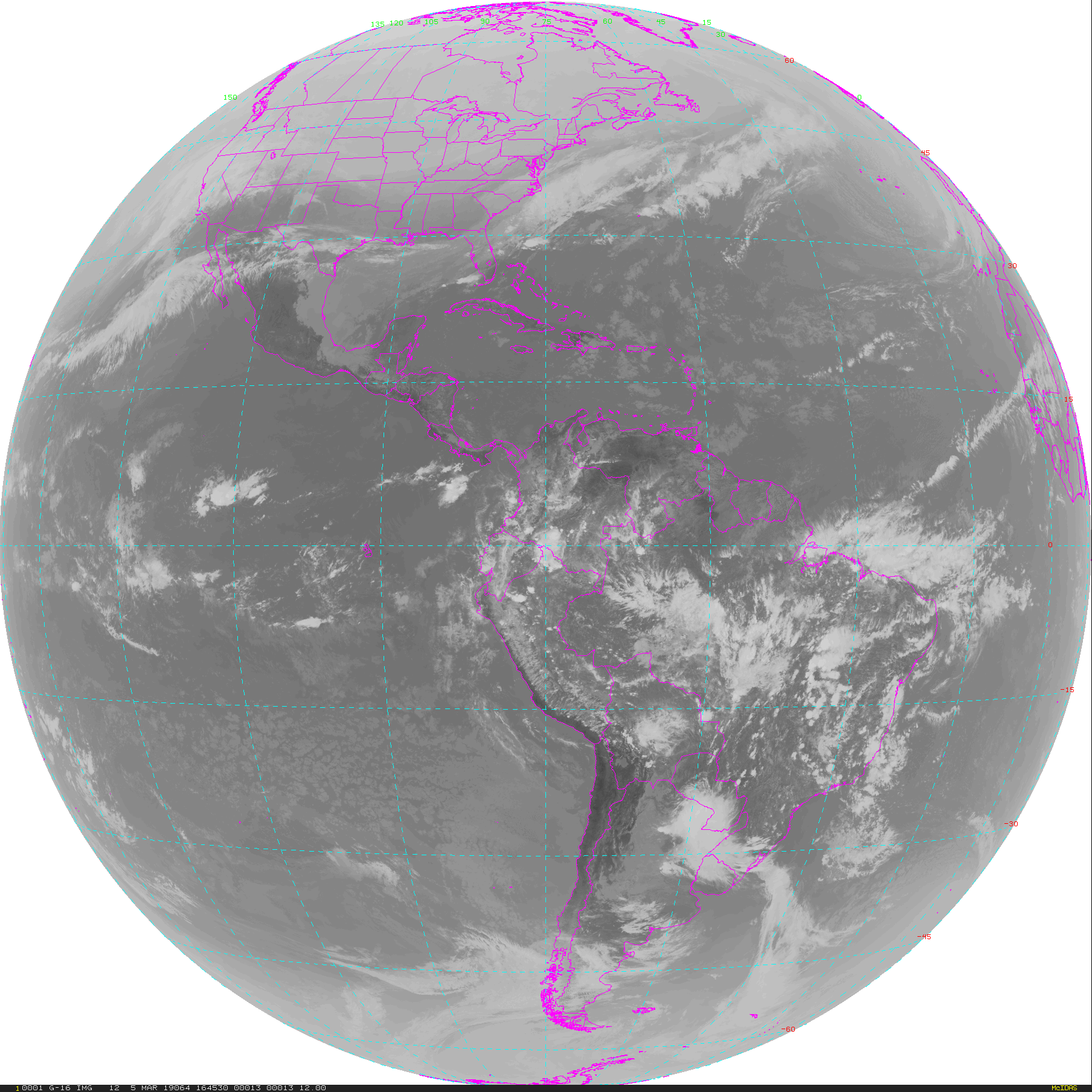
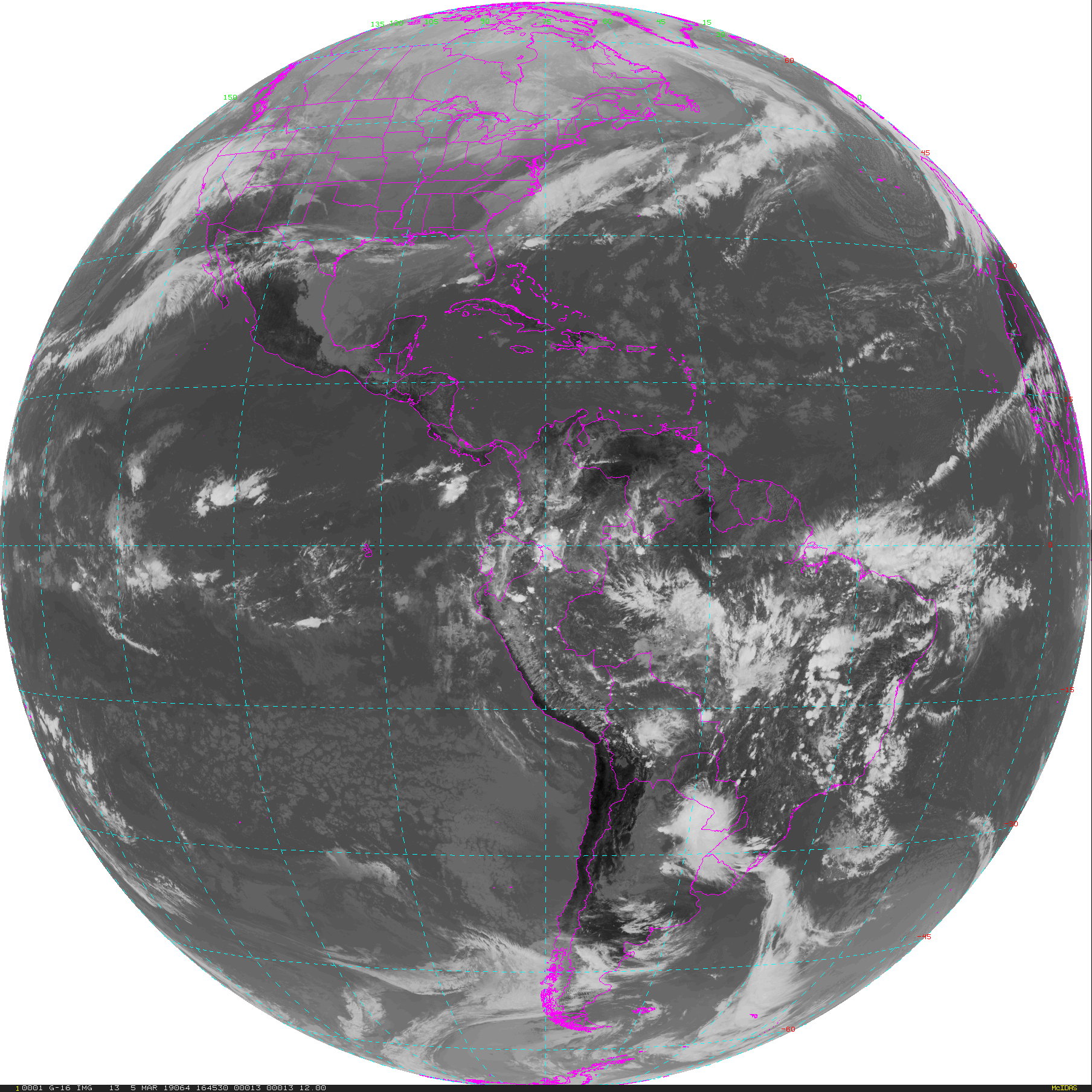
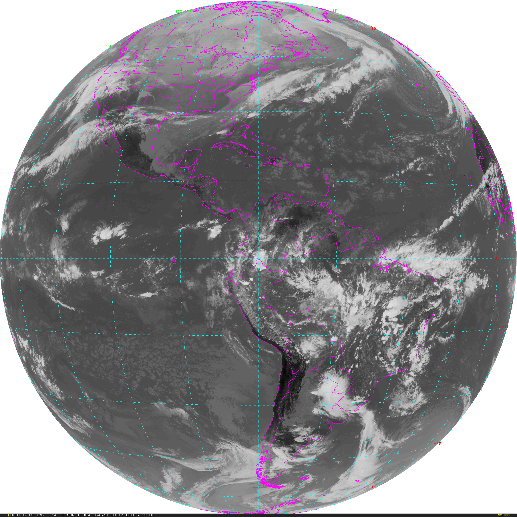
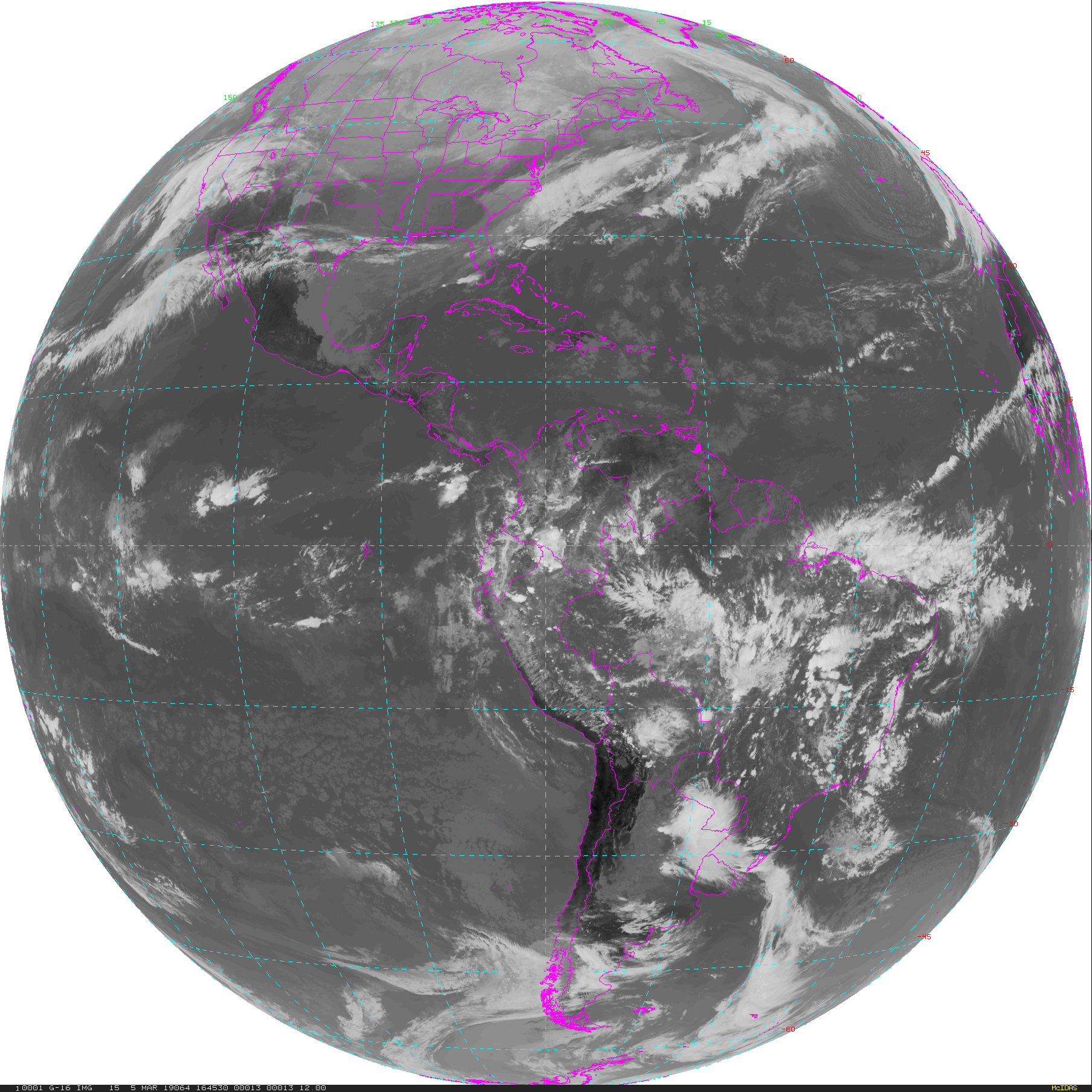
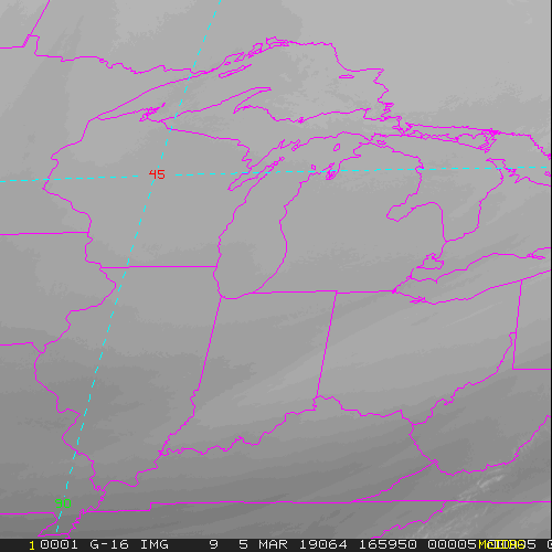
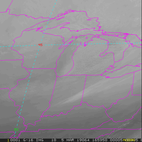
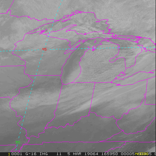
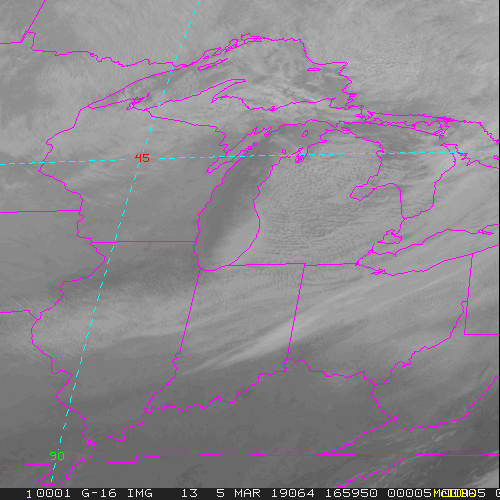
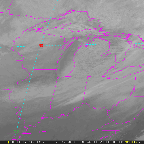
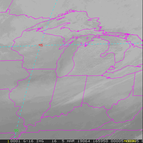
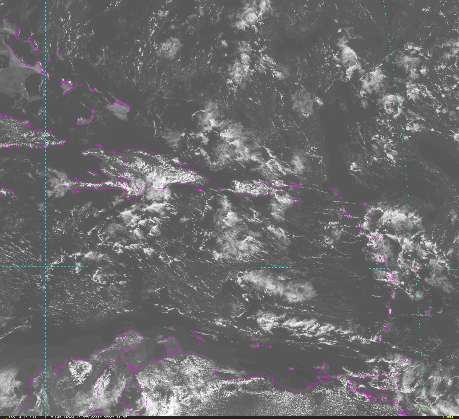
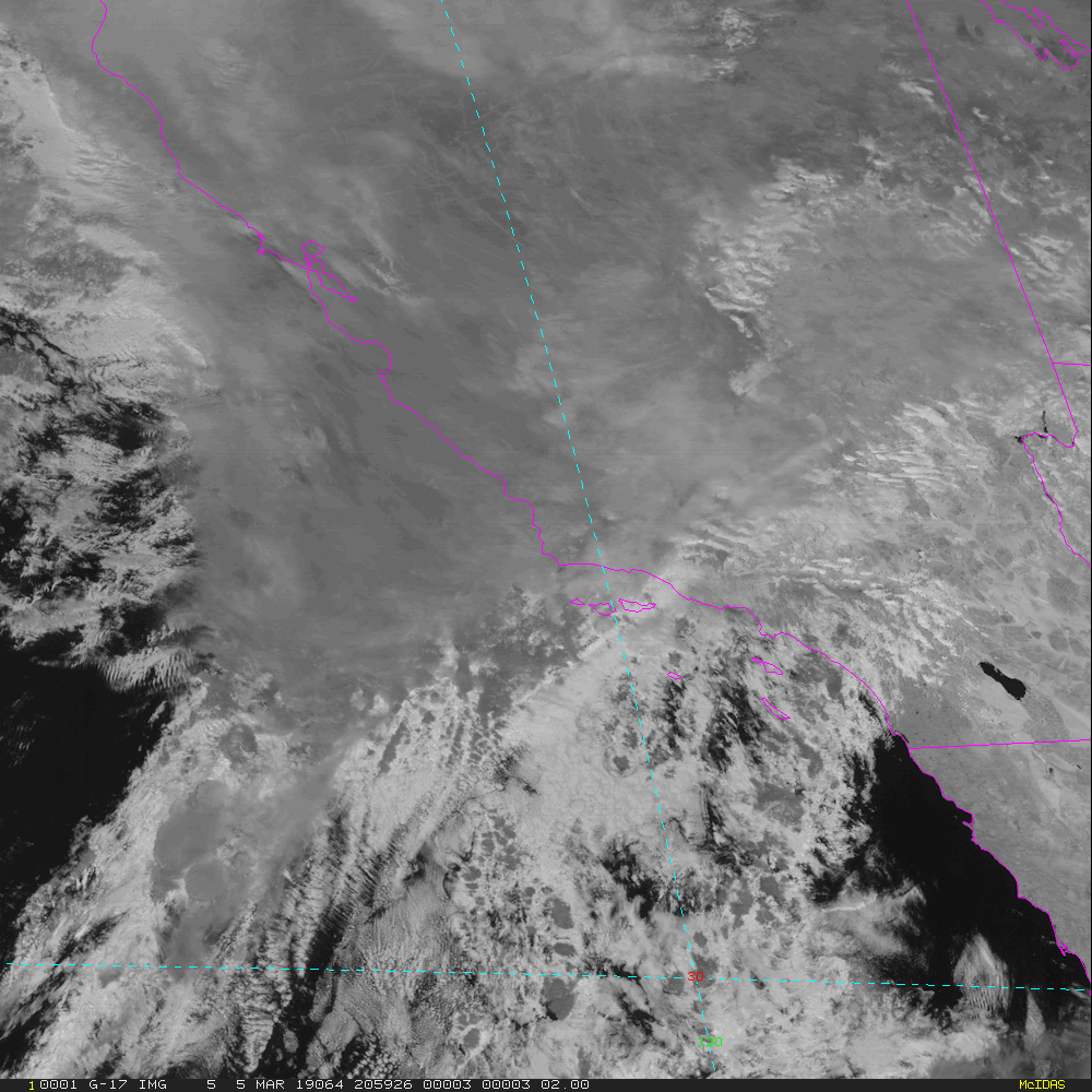
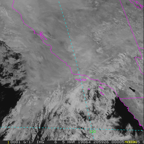
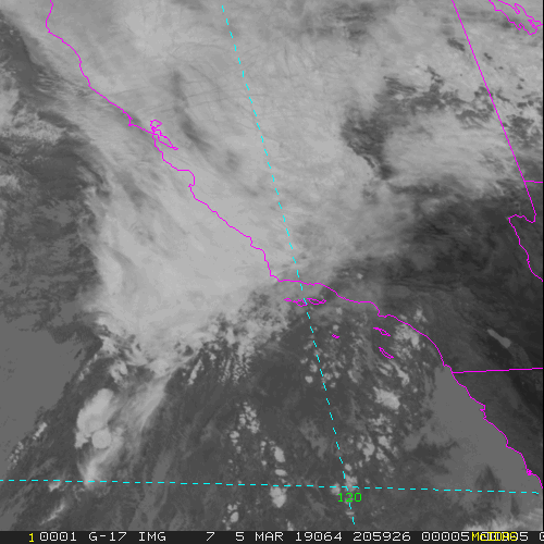
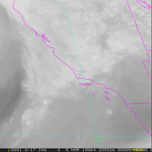
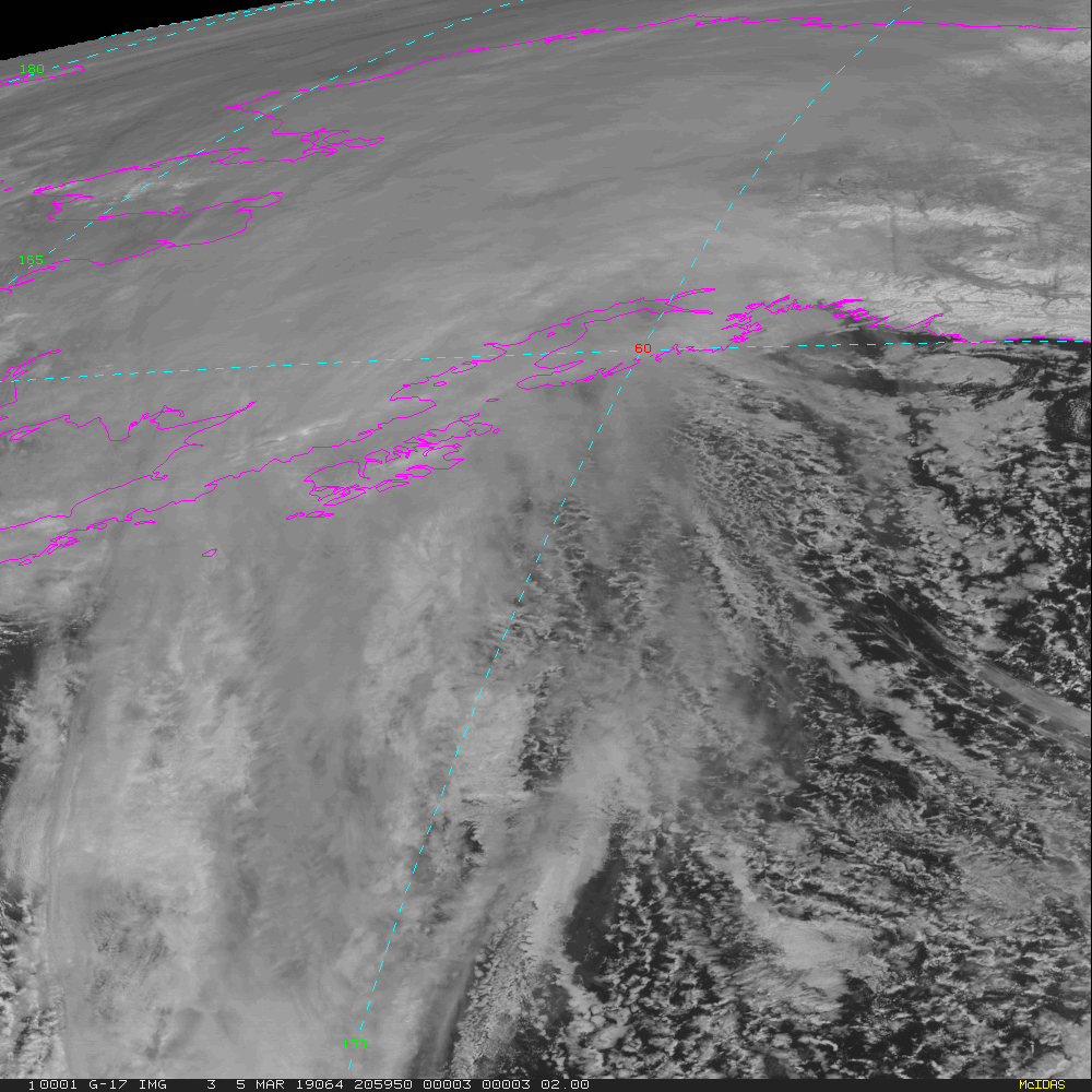
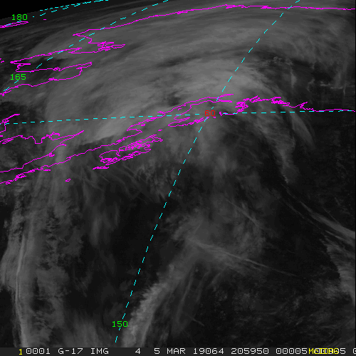
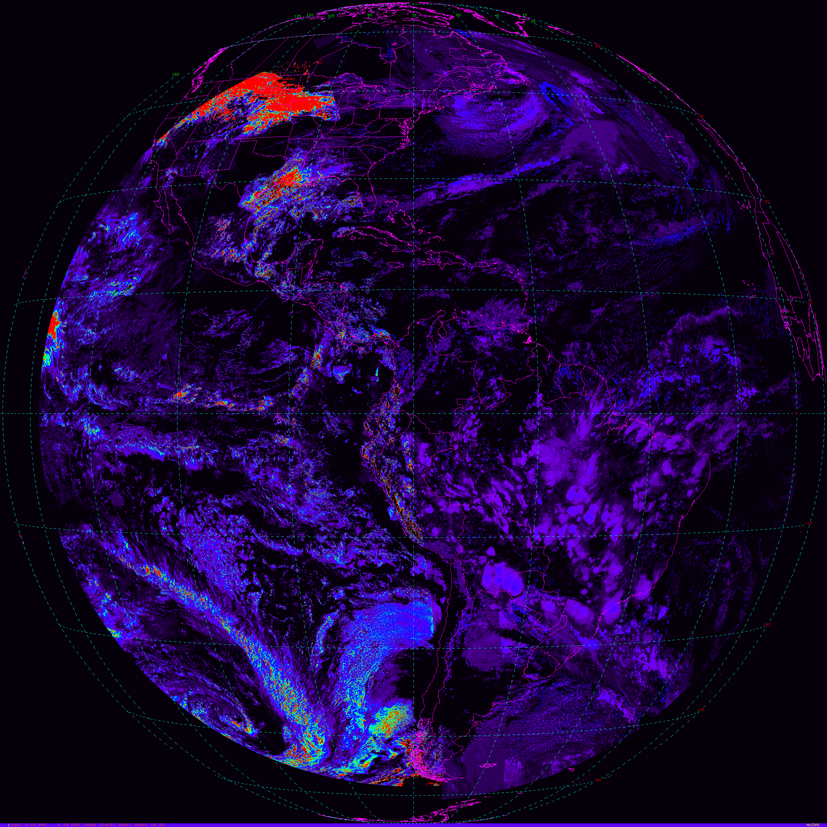
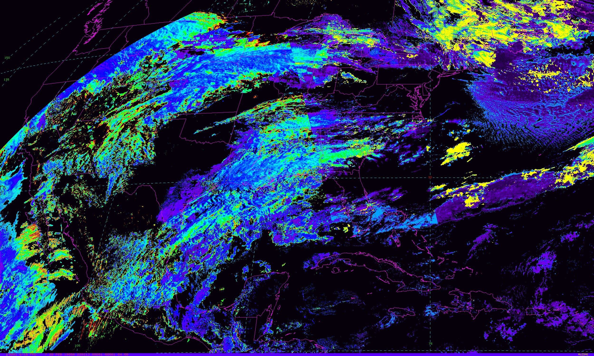
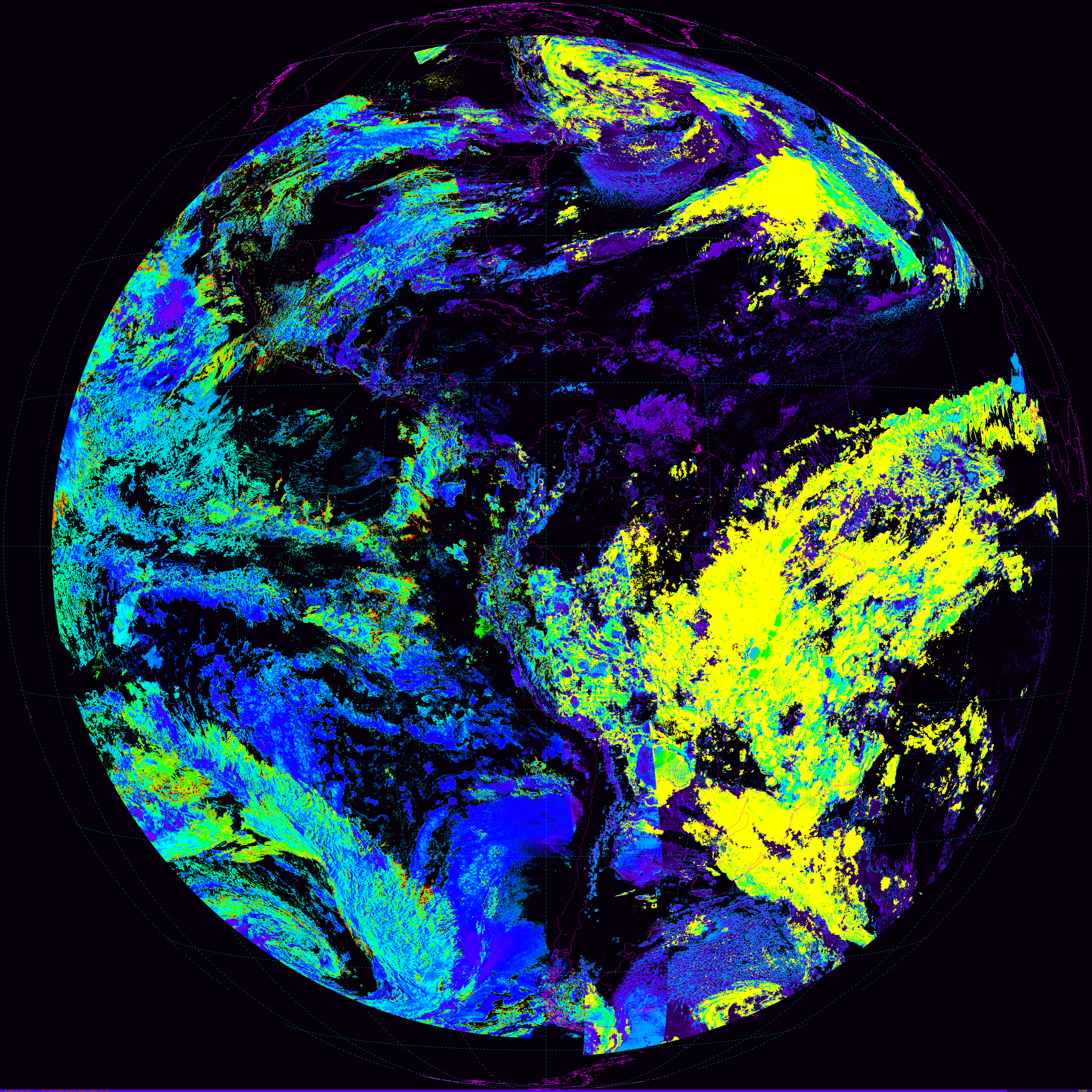
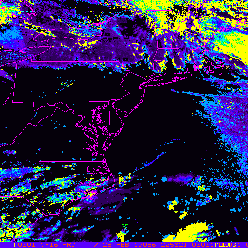
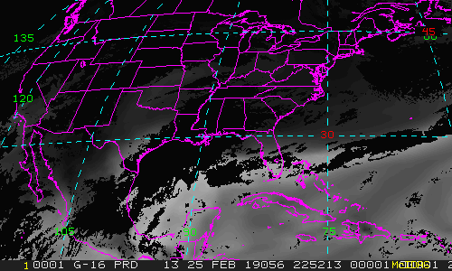
CONUS FullDisk Mesoscale-1 Mesoscale-2 PuertoRico |
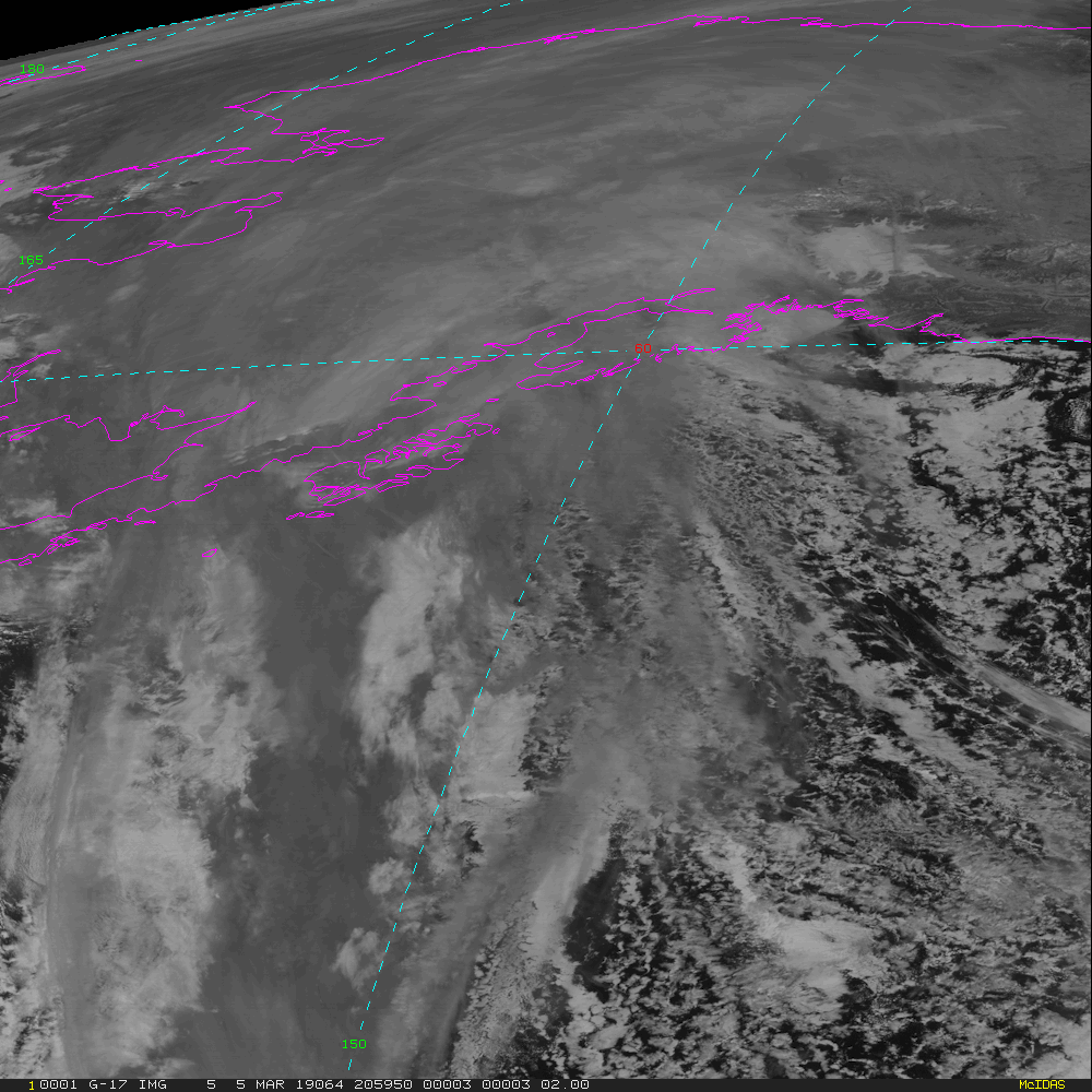
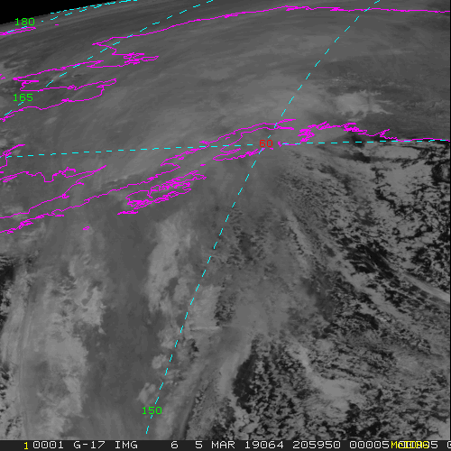
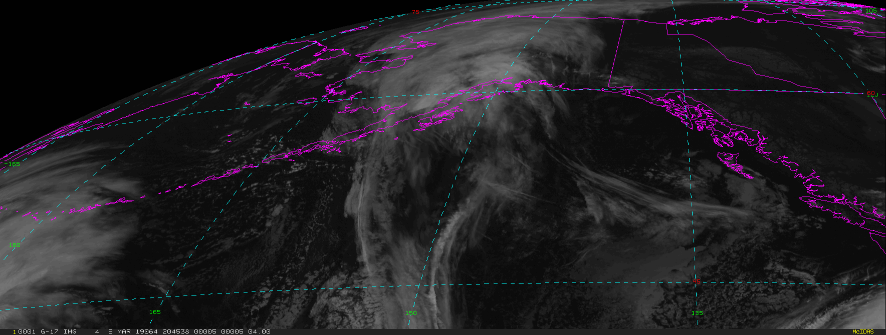
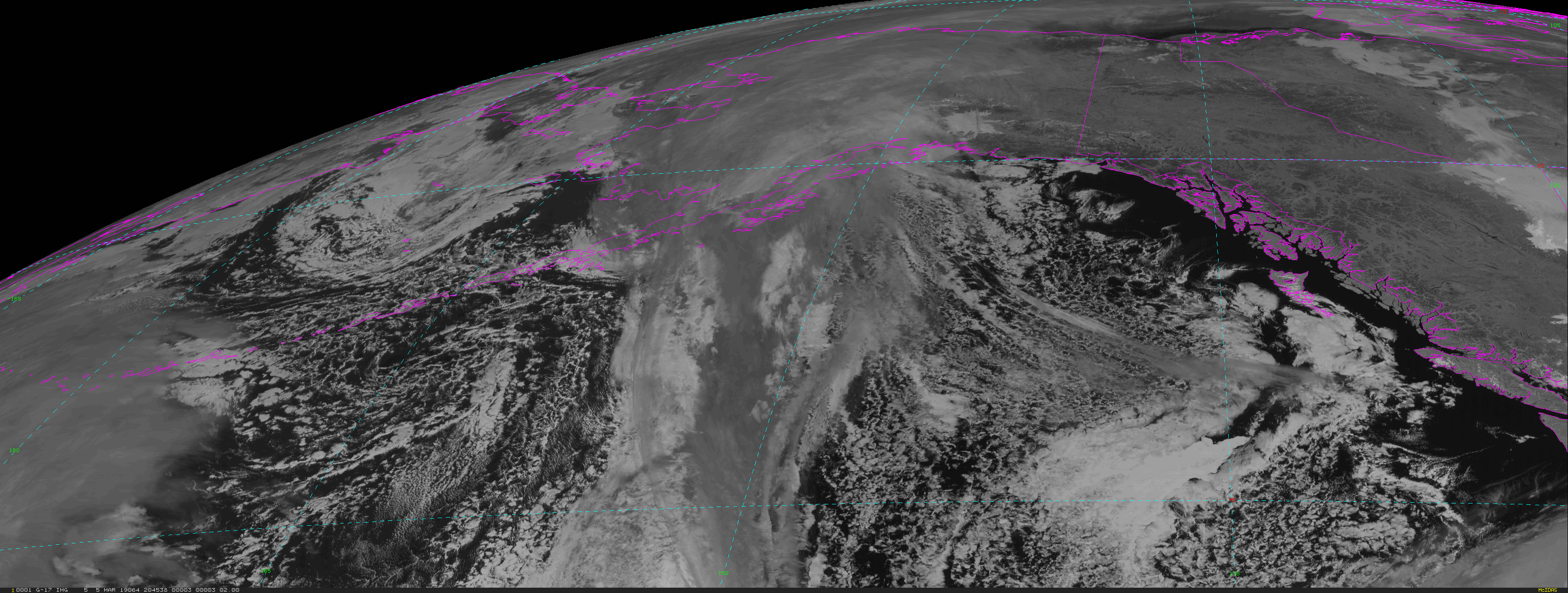
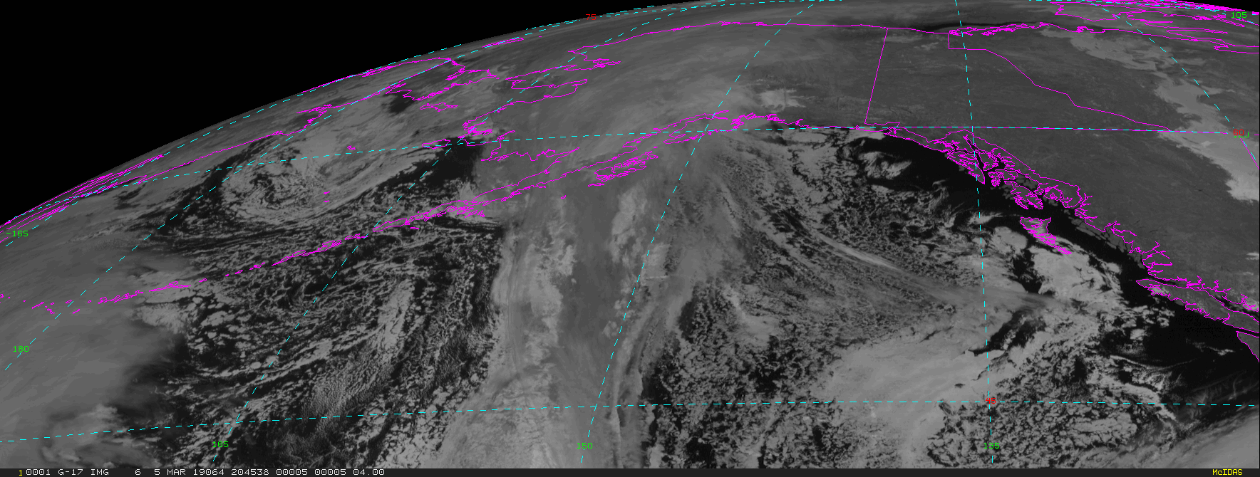
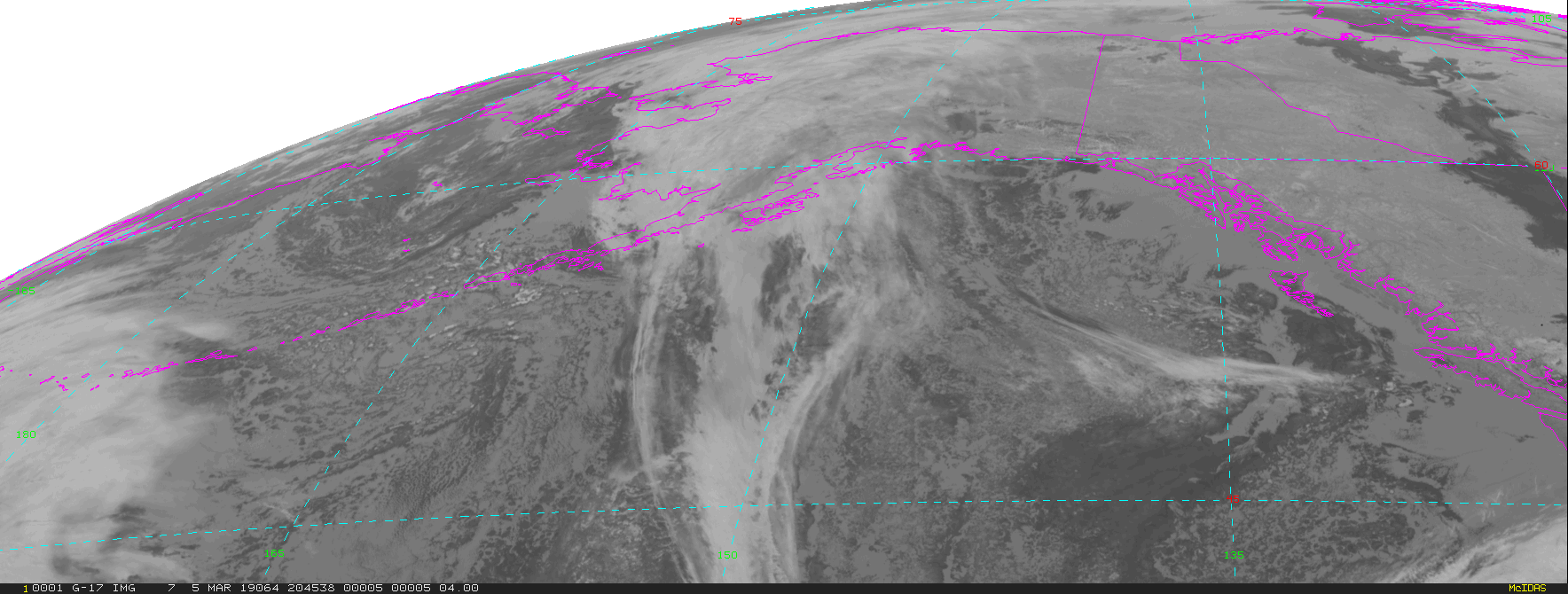
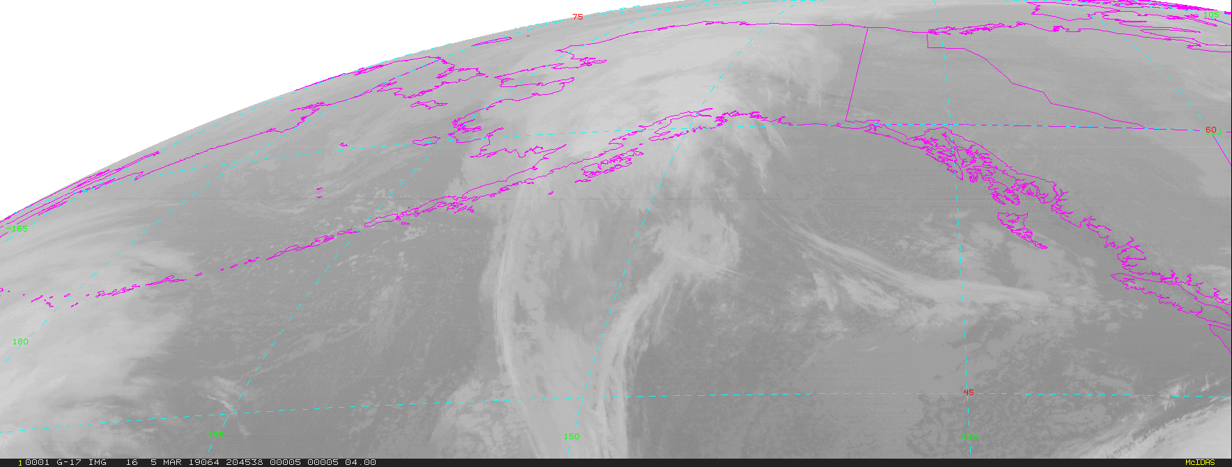
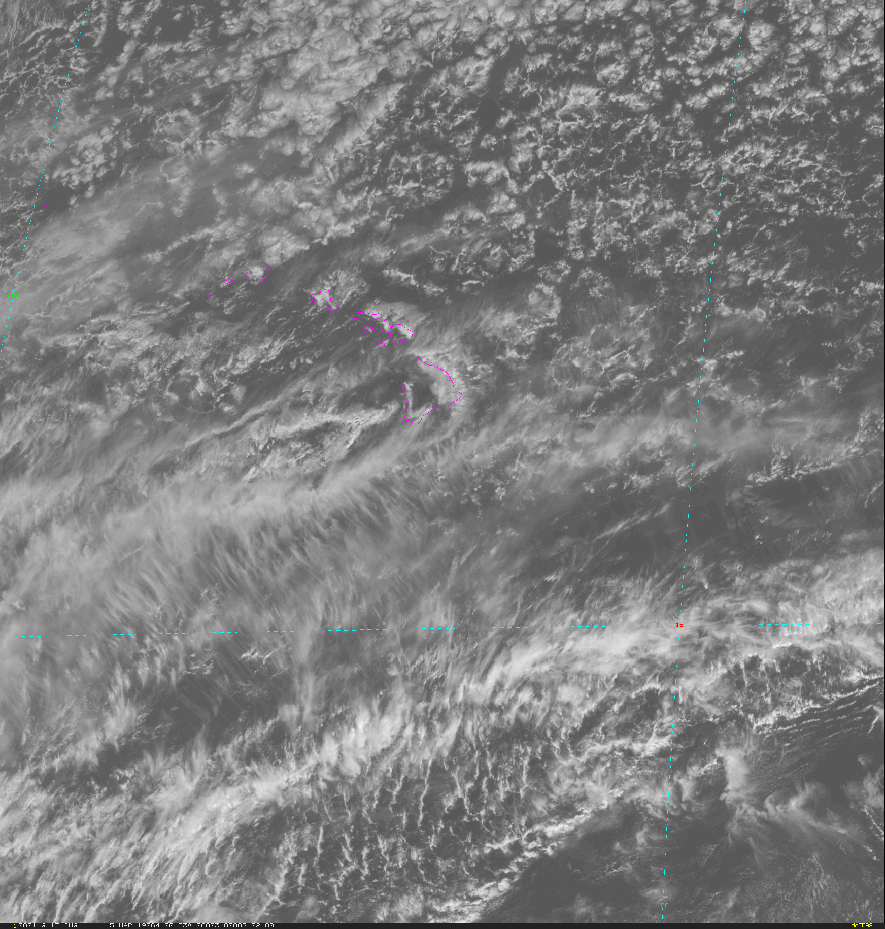
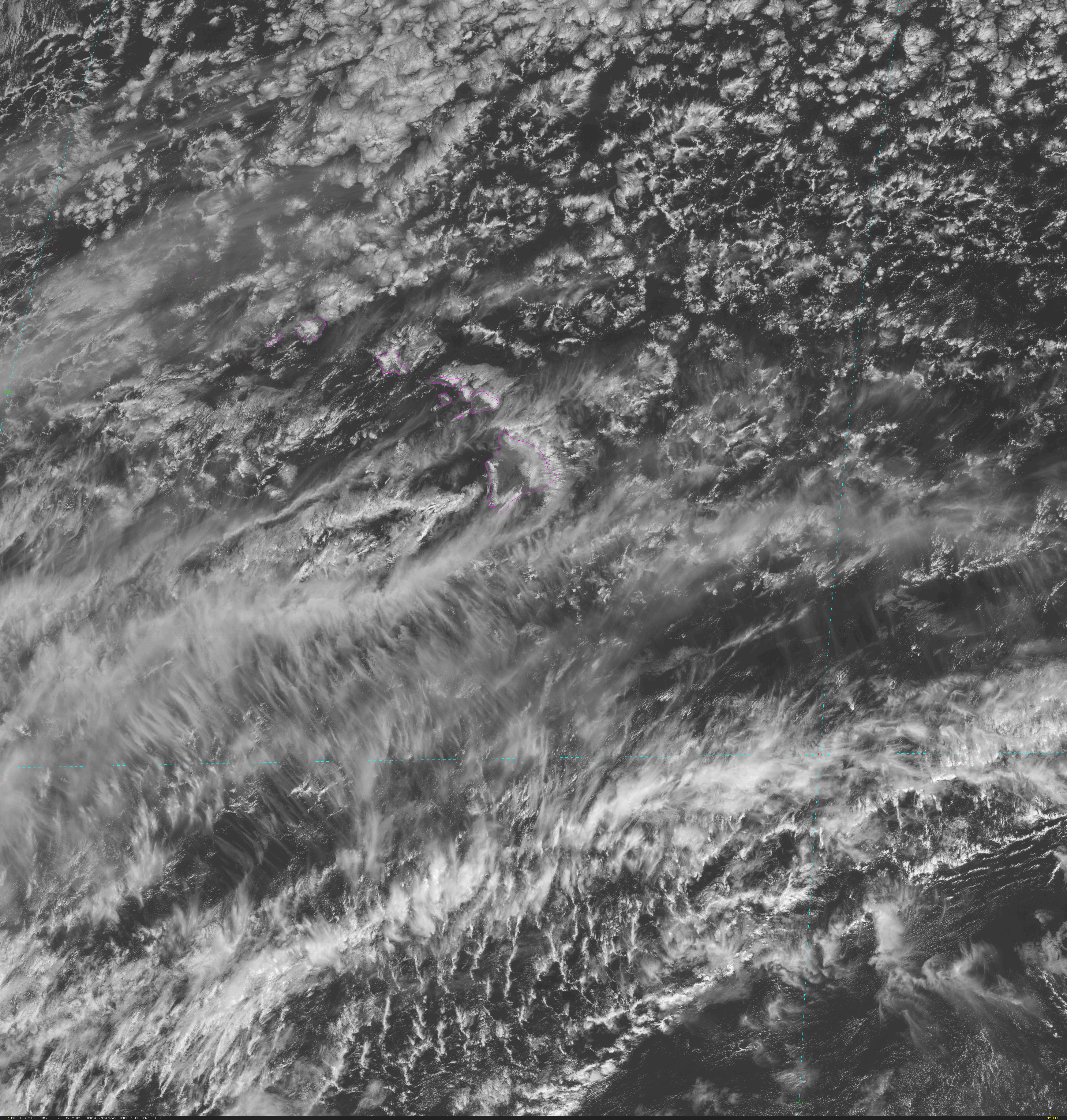
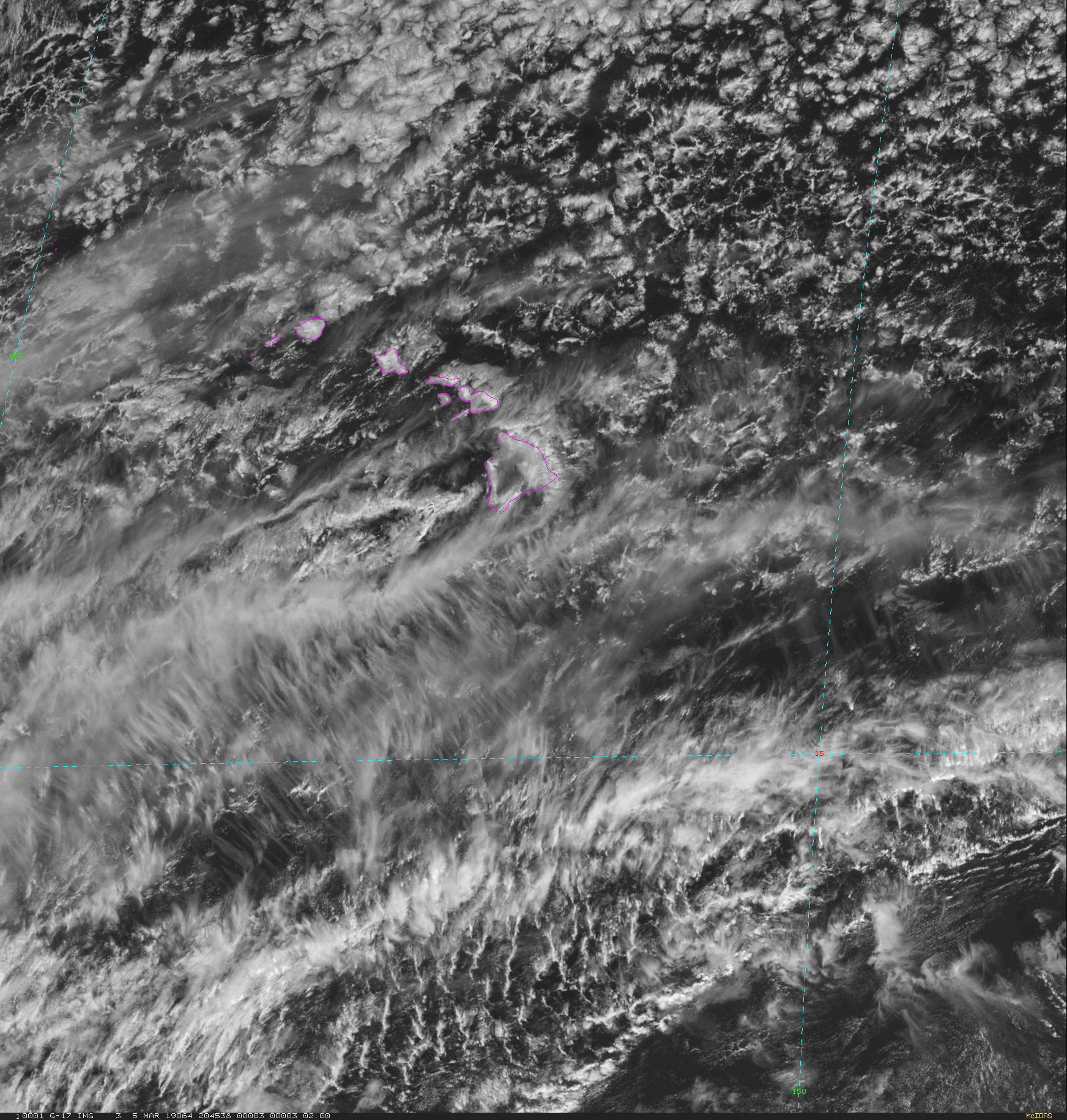
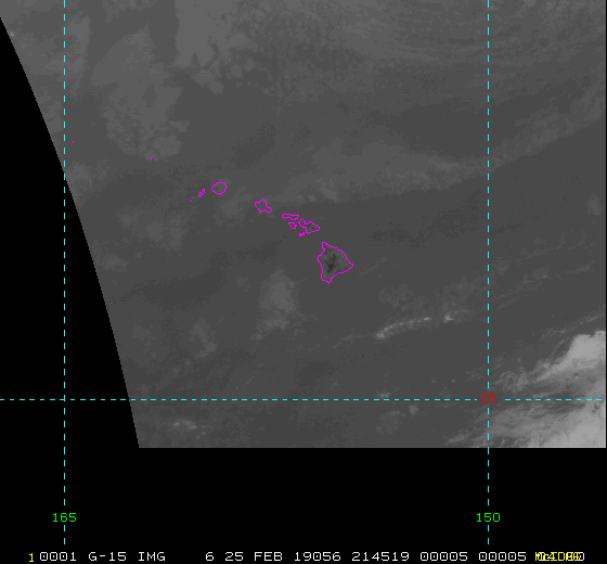
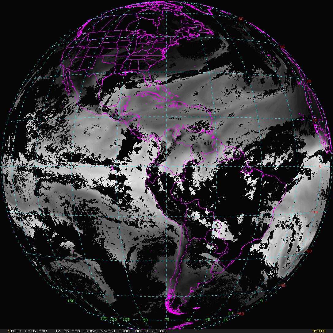
CONUS FullDisk Mesoscale-1 Mesoscale-2 Alaska Hawaii |
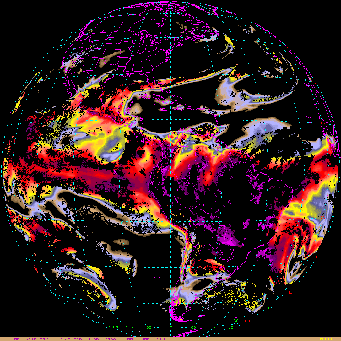
| GOES-East/West Level 2 (L2) Products | |
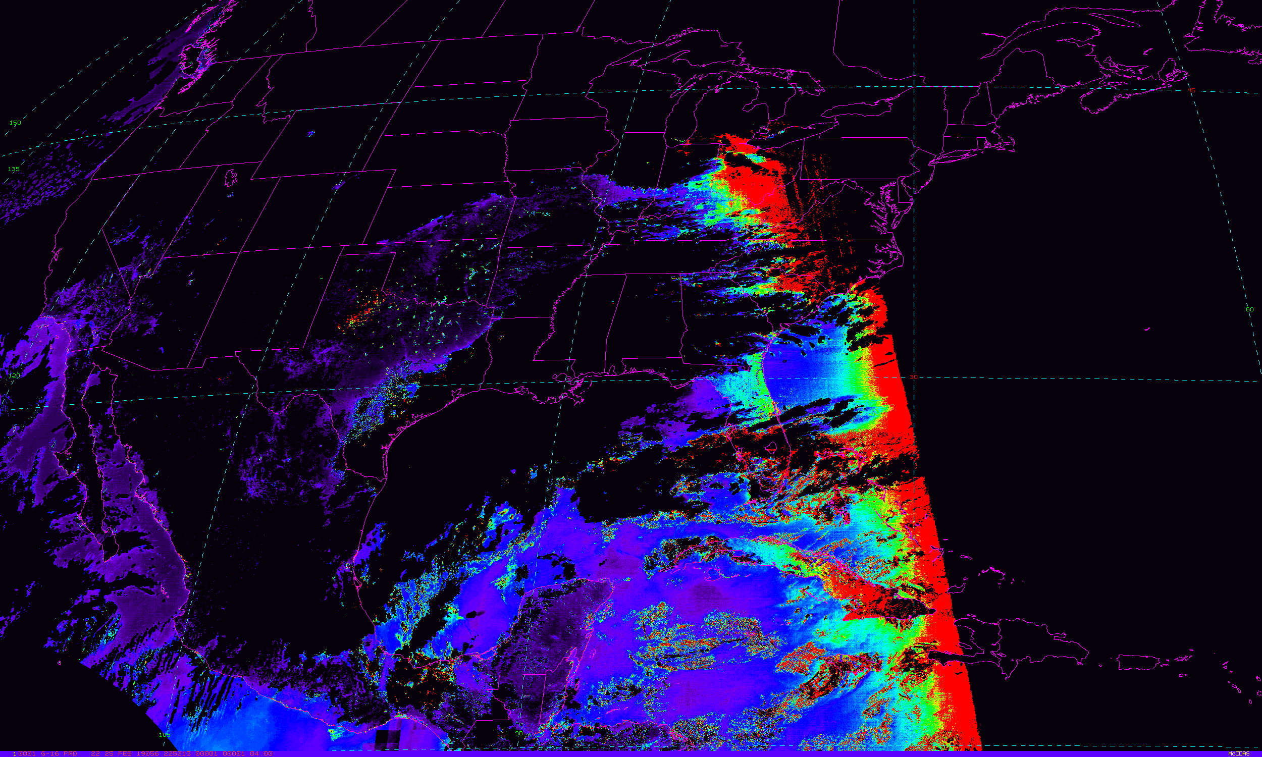
| GOES-East L2 Image | GOES-East L2 Point |
|
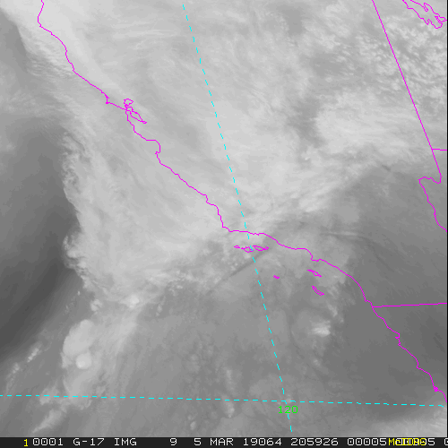
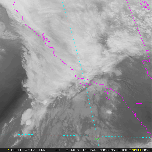
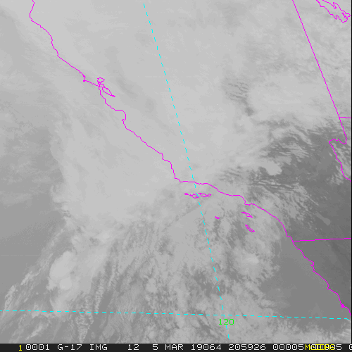
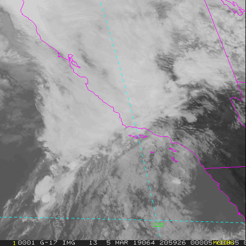
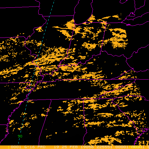
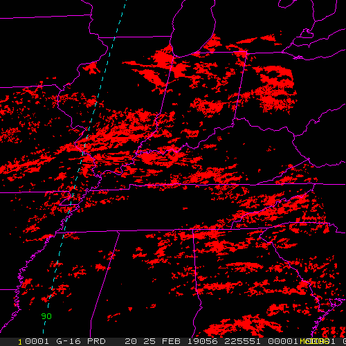
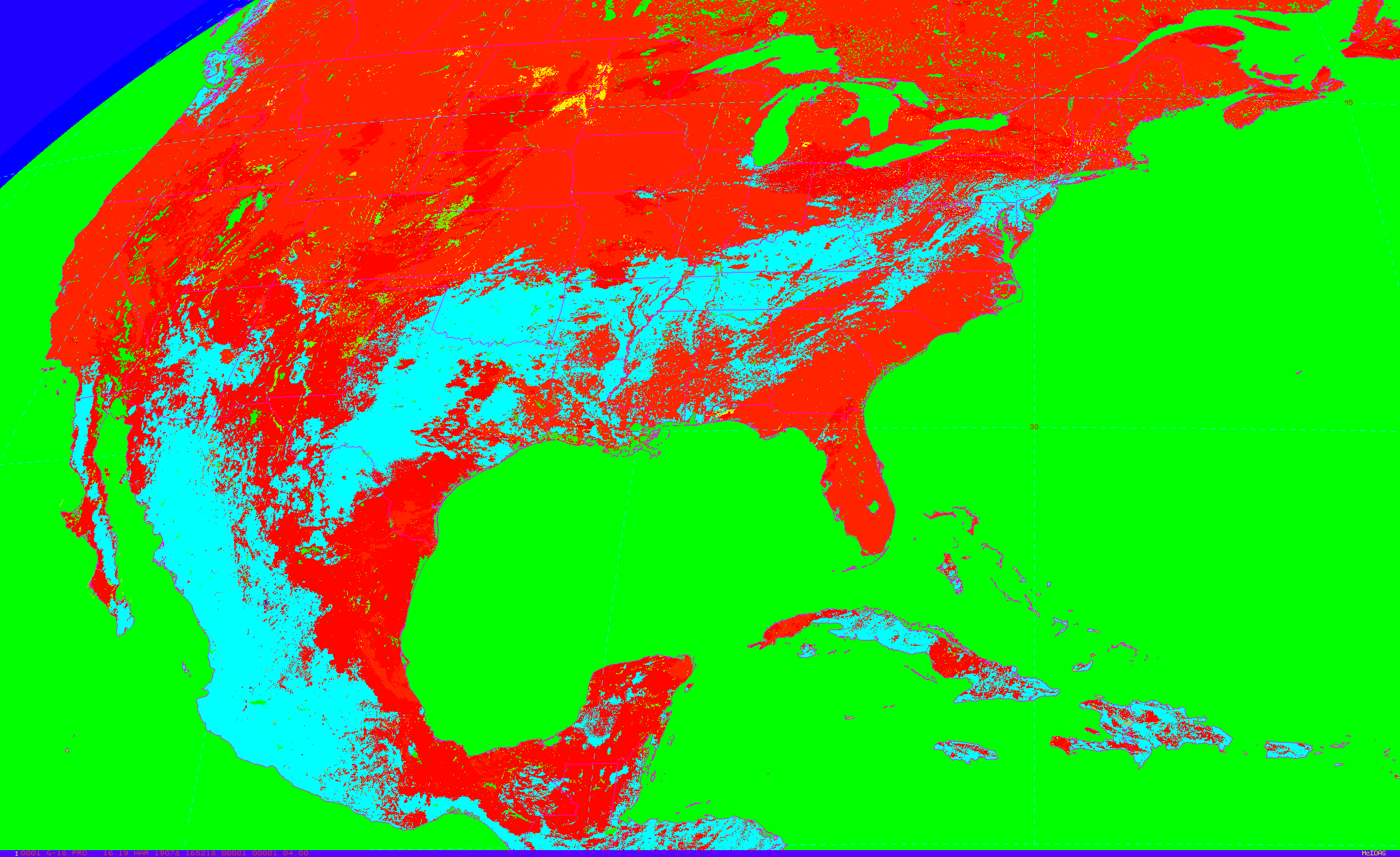
Aerosol Detection Aerosol Optical Depth Cloud Mask Cloud Optical Depth Cloud Particle Size Cloud Top Height Cloud Top Phase Cloud Top Pressure Cloud Top Temperature Derived Stability Indicies Fire Detection Land Surface Temperature Rain Rate QPE Sea Surface Temperature Total Precipitable Water Volcanic Ash Legacy Vertical Profiles |
Derived Motion Winds |
| CIRA GOES-East/West L2 Image | Texas Tech GOES-East/West L2 Image |
|
Cloud Snow Debra Dust GeoColor |
|
| GOES-GVAR Imagery (archaic) | |
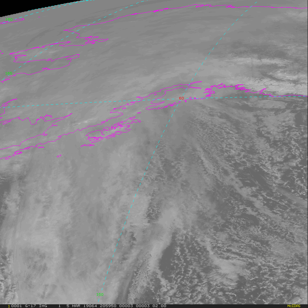
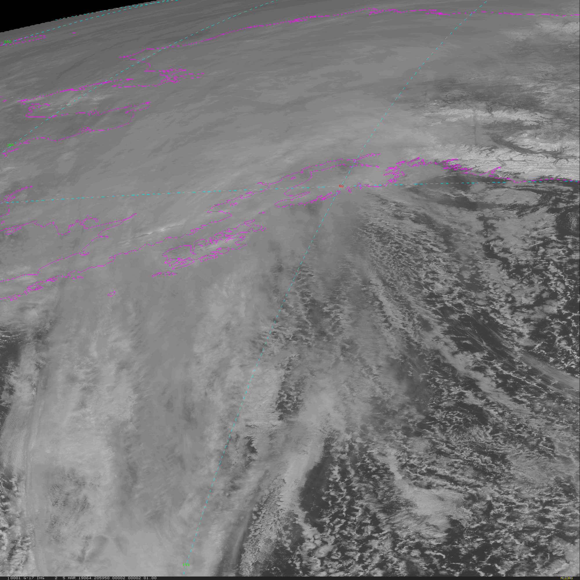
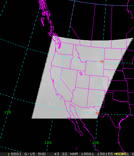
| GOES-West GVAR Image | |
|
CONUS SuperNational Detection Composites Alaska Hawaii |
|
Instrument  Description
-----------+------------------------------------------------------------------
ABI         Advanced Baseline Imager - sixteen wavelength channels

ABI scan modes:
-------+------------------------------------------------------------------
Mode 3  15 min Full Disk, 5 min CONUS, 1 min/30 sec Mesoscale(s)
Mode 4   5 min Full Disk
Mode 6  10 min Full Disk, 5 min CONUS, 1 min/30 sec Mesoscale(s)
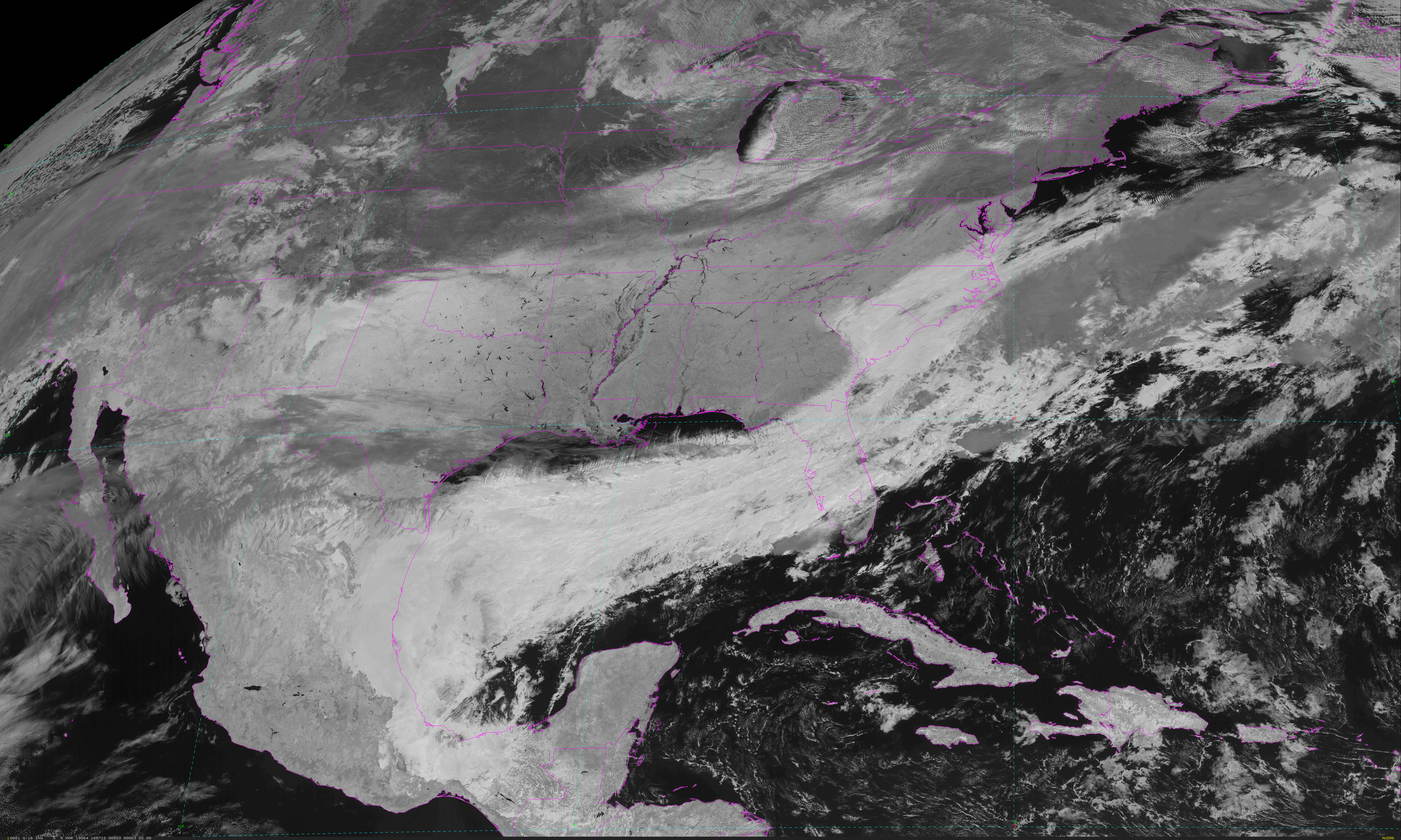
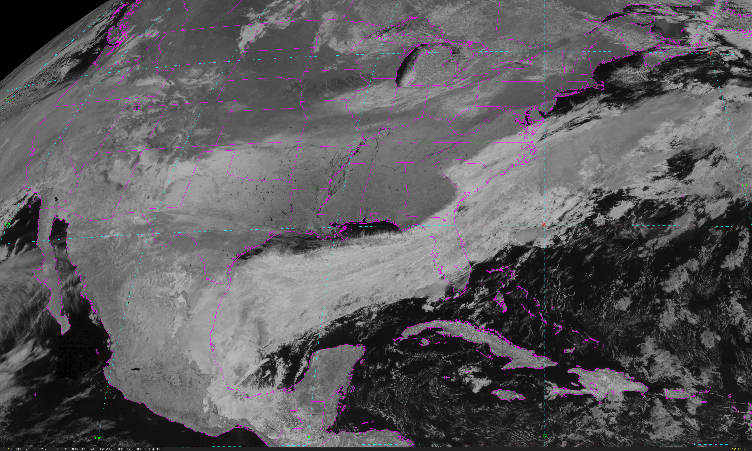
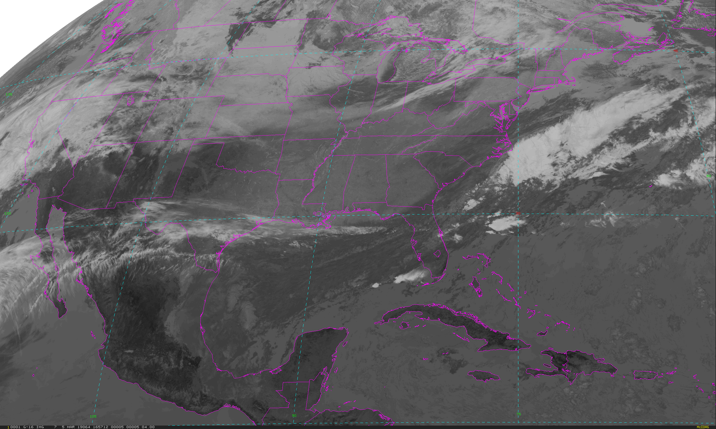
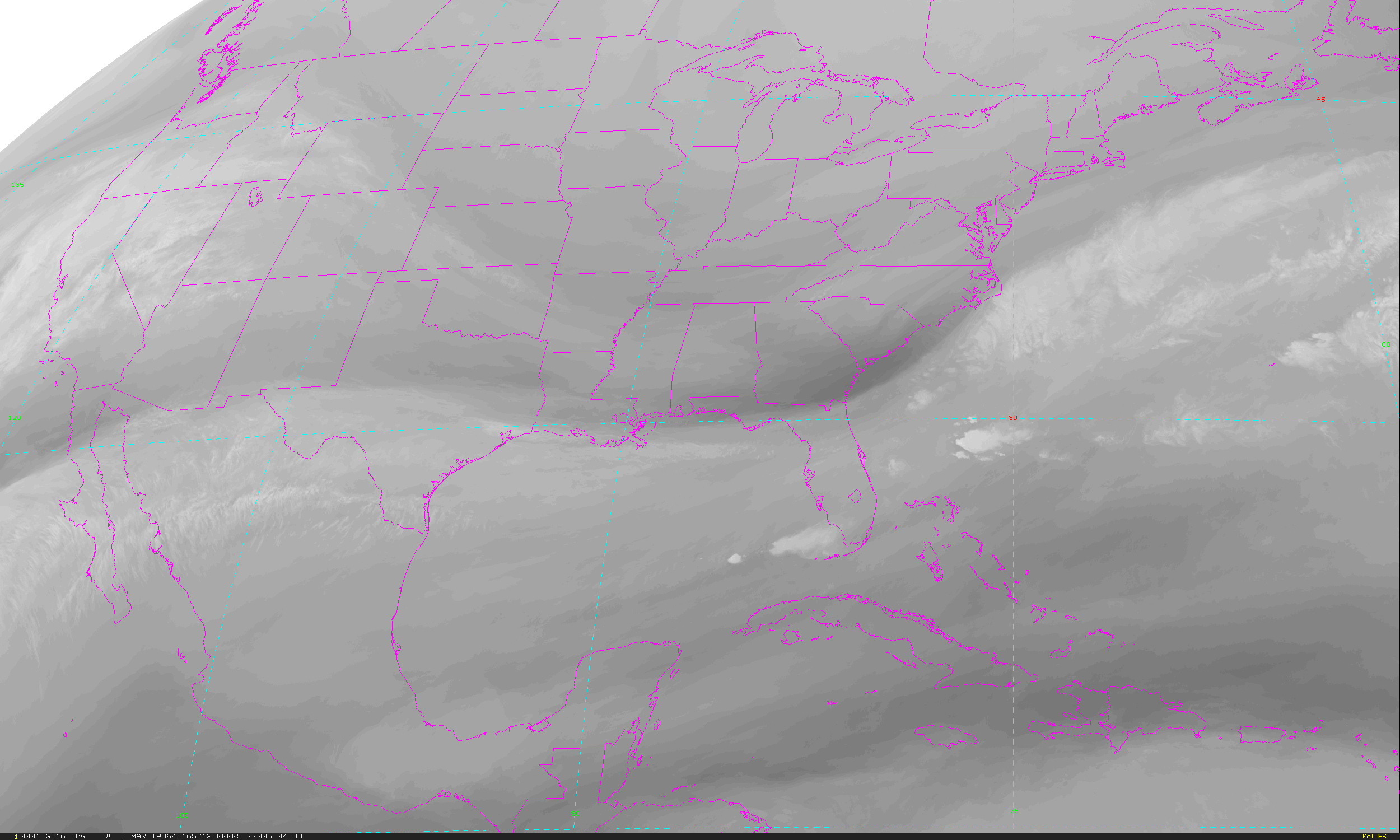
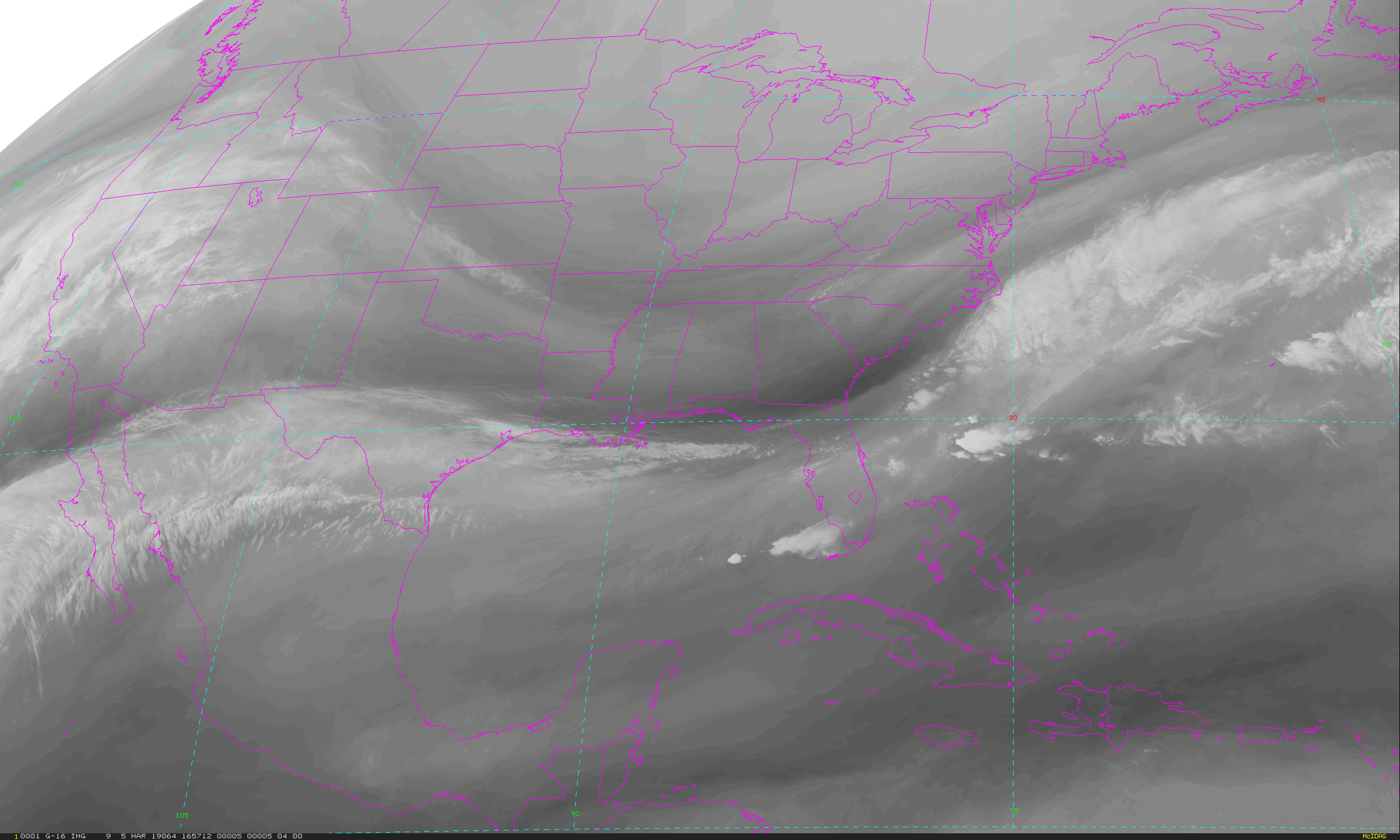
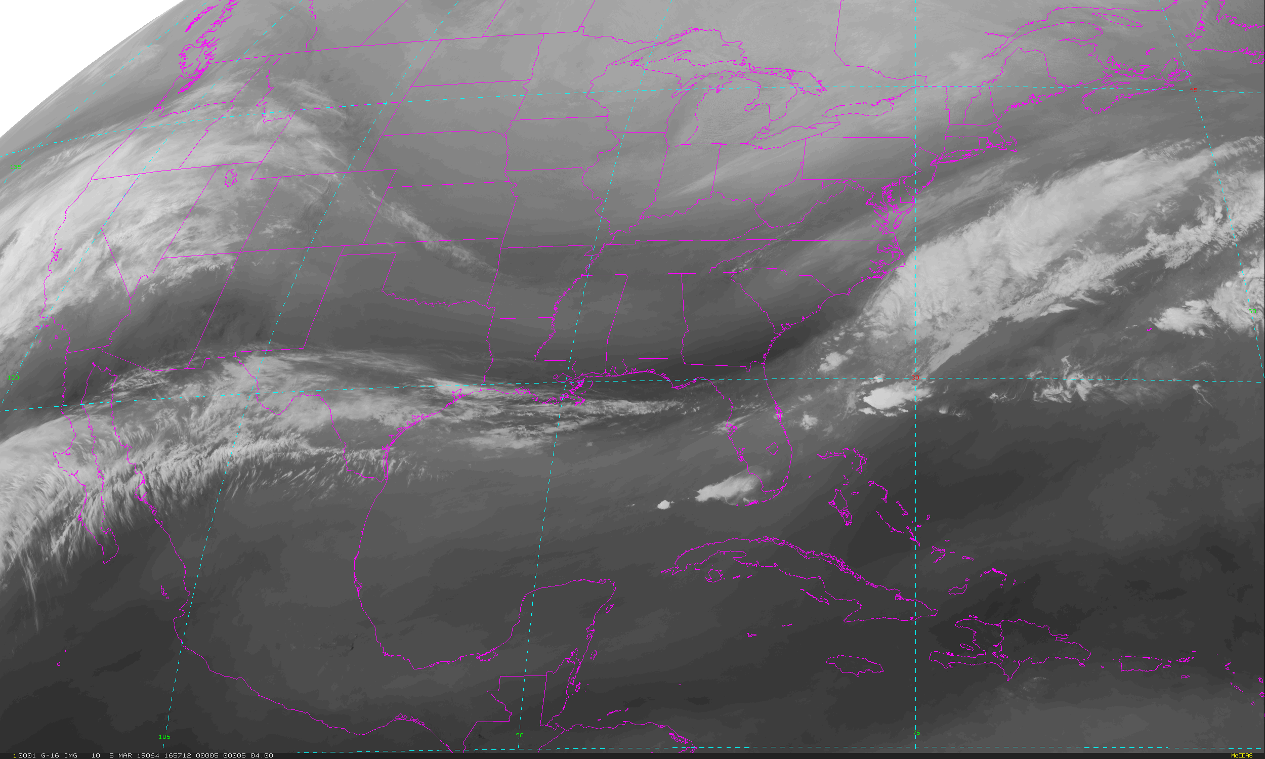
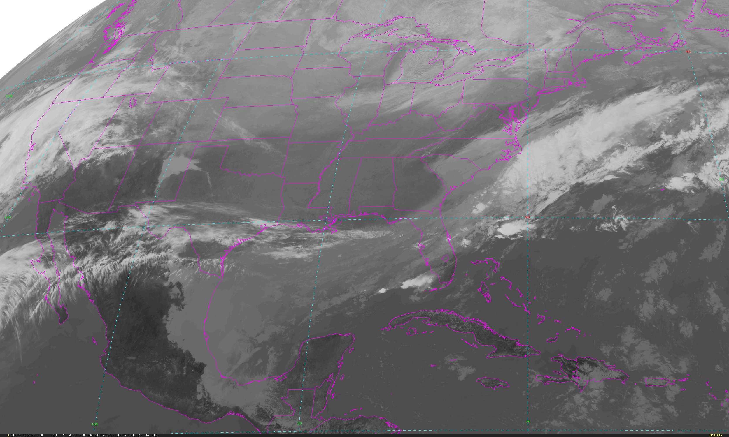
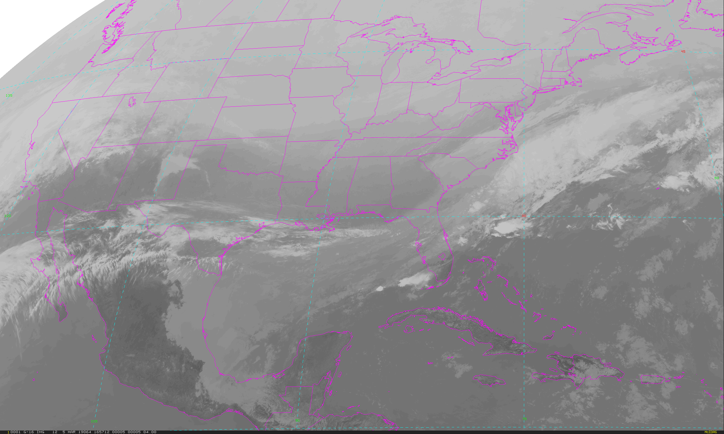
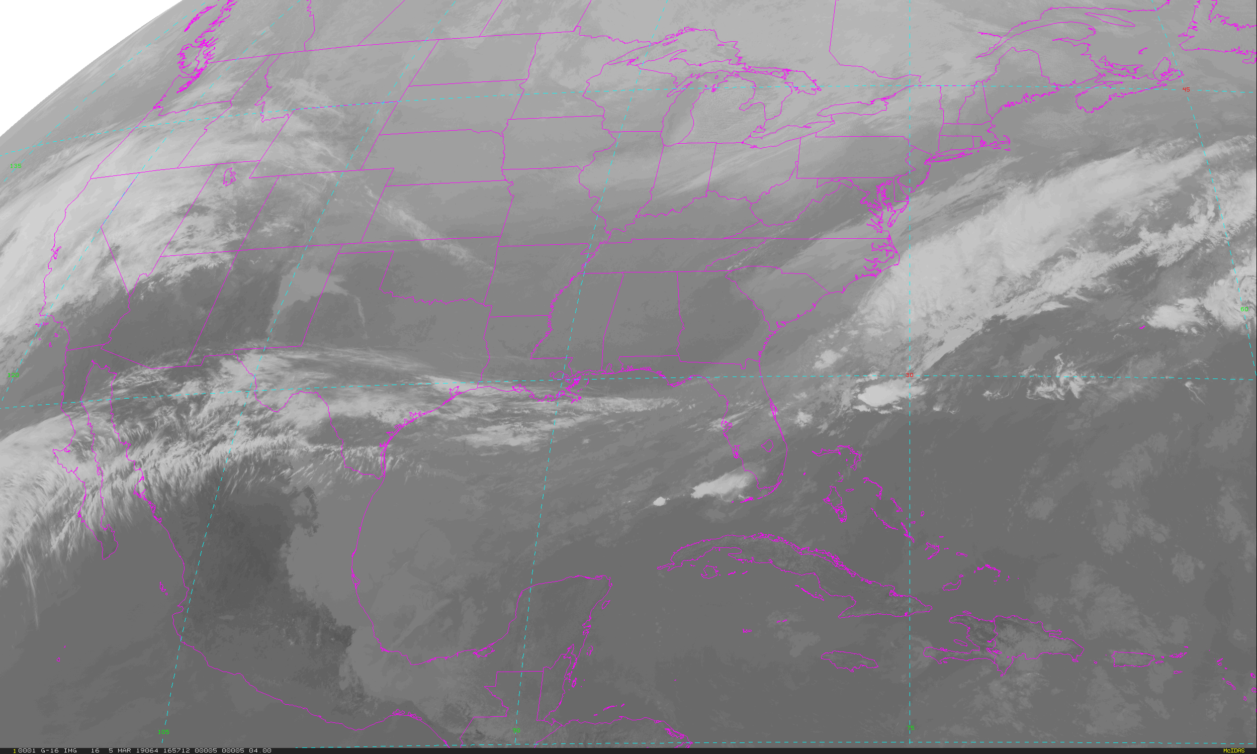
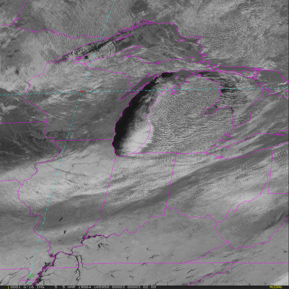
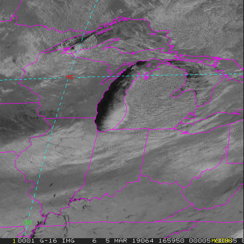
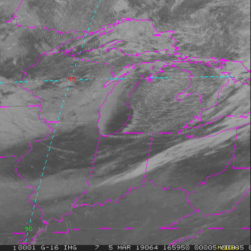
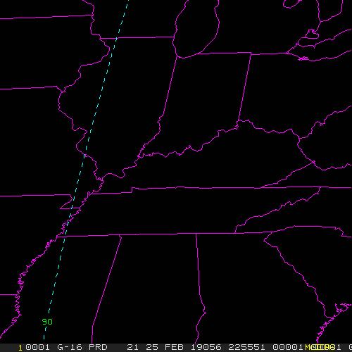
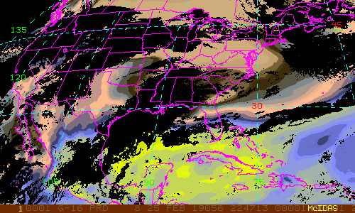
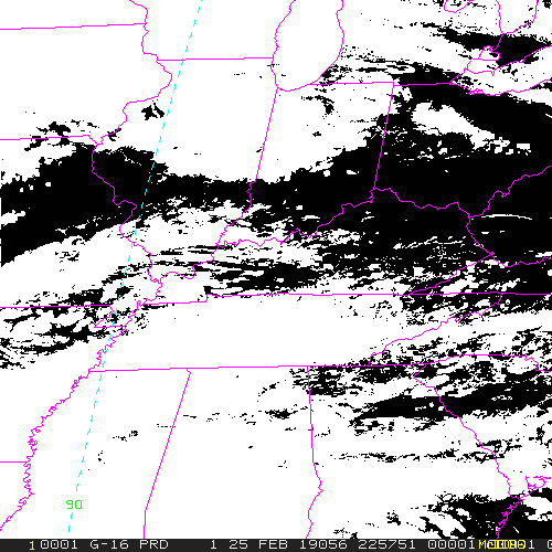
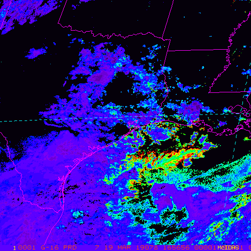
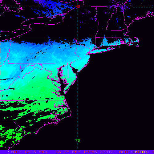
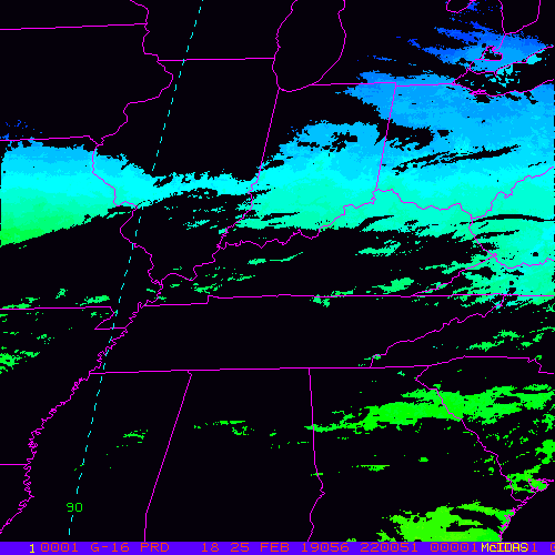
GOES-East CONUS - 5 minute Update Interval for Mode 3 or 6
NB: thumbnails are links to full resolution images which may be LARGE

Channel  Description                                  Central Lat, Lon  Resolution [km]   Size [Lines x Elements]
--------+--------------------------------------------+-----------------+-----------------+-----------------------
Band  1  0.47 um VIS aerosol-over-land                    30N,  87W         1.00              3000 x 5000
Band  2  0.64 um VIS clouds fog, insol, winds             30N,  87W         0.50              6000 x10000
Band  3  0.86 um Near IR veg/burn scar,aerosol, wind      30N,  87W         1.00              3000 x 5000
Band  4  1.37 um Near IR cirrus cloud                     30N,  87W         2.00              1500 x 2500
Band  5  1.61 um Near IR cloud phase, snow                30N,  87W         1.00              3000 x 5000
Band  6  2.24 um Near IR land/cloud, vege, snow           30N,  87W         2.00              1500 x 2500
Band  7  3.89 um IR Sfc, cloud, fog, fire, winds          30N,  87W         2.00              1500 x 2500
Band  8  6.17 um IR High-level WV, winds, rainfall        30N,  87W         2.00              1500 x 2500
Band  9  6.93 um IR Mid-level WV, winds, rainfall         30N,  87W         2.00              1500 x 2500
Band 10  7.34 um IR Lower-level WV, winds & SO2           30N,  87W         2.00              1500 x 2500
Band 11  8.44 um IR Total WV cloud phase, dust            30N,  87W         2.00              1500 x 2500
Band 12  9.61 um IR Total ozone,turbulence,wind           30N,  87W         2.00              1500 x 2500
Band 13  10.3 um IR Surface & cloud                       30N,  87W         2.00              1500 x 2500
Band 14  11.2 um IR Imagery,SST,clouds,rainfall           30N,  87W         2.00              1500 x 2500
Band 15  12.3 um IR Total water, ash, and SST             30N,  87W         2.00              1500 x 2500
Band 16  13.3 um IR Air temp, cloud height and amount     30N,  87W         2.00              1500 x 2500

Example LDM/IDD Product ID:
/data/ldm/pub/native/satellite/GOES/GOES16/Products/CloudAndMoistureImagery/CONUS/Channel12/20190221/OR_ABI-L2-CMIPC-M6C12_G16_s20190521951130_e20190521951130_c20190521951130.nc
Example LDM configuration file REQUEST line:
REQUEST NIMAGE "CMIPC.*G16" upstream_IDD_relay

Example LDM pattern-action file action
Example LDM pattern-action file L2ProdFile.sh script
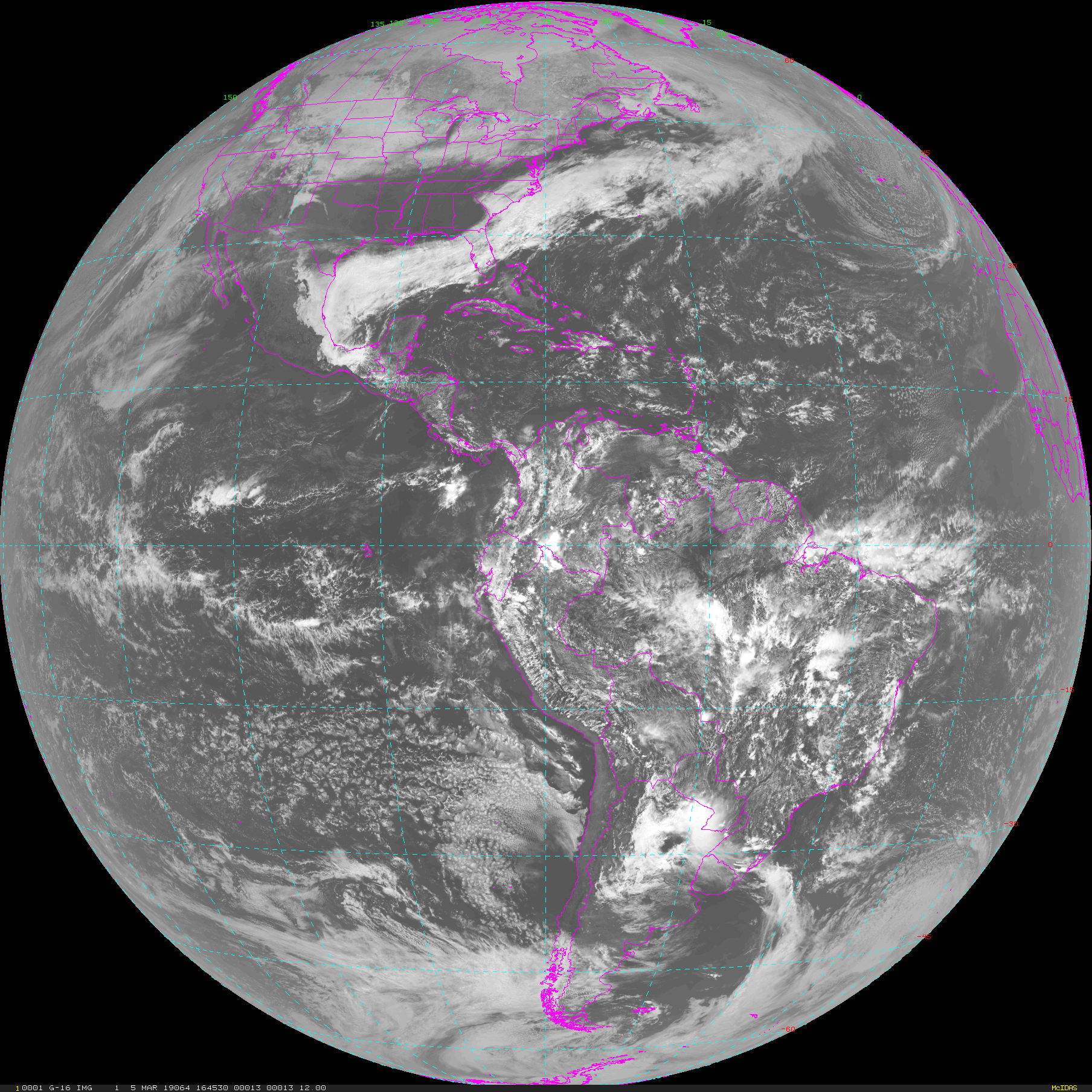
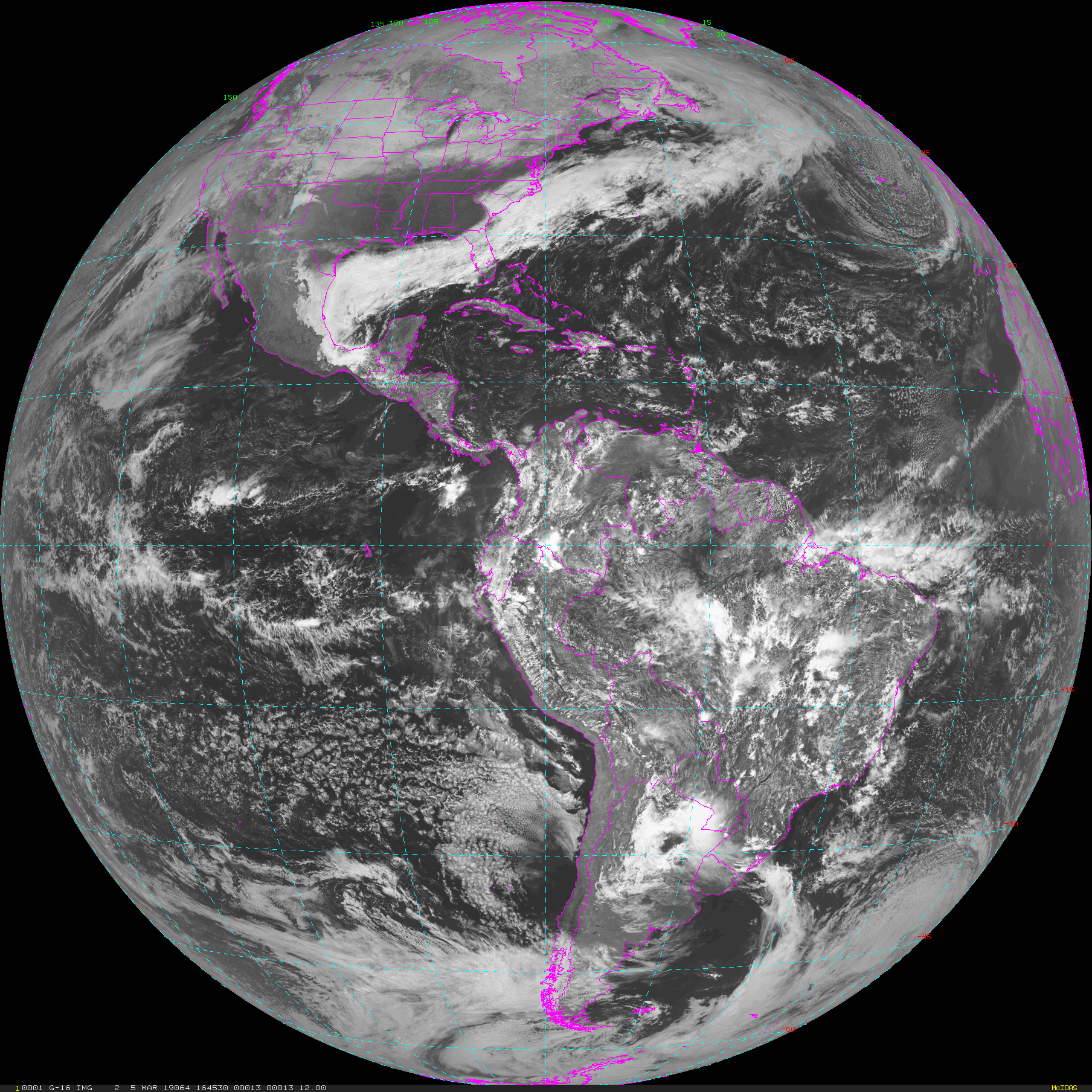
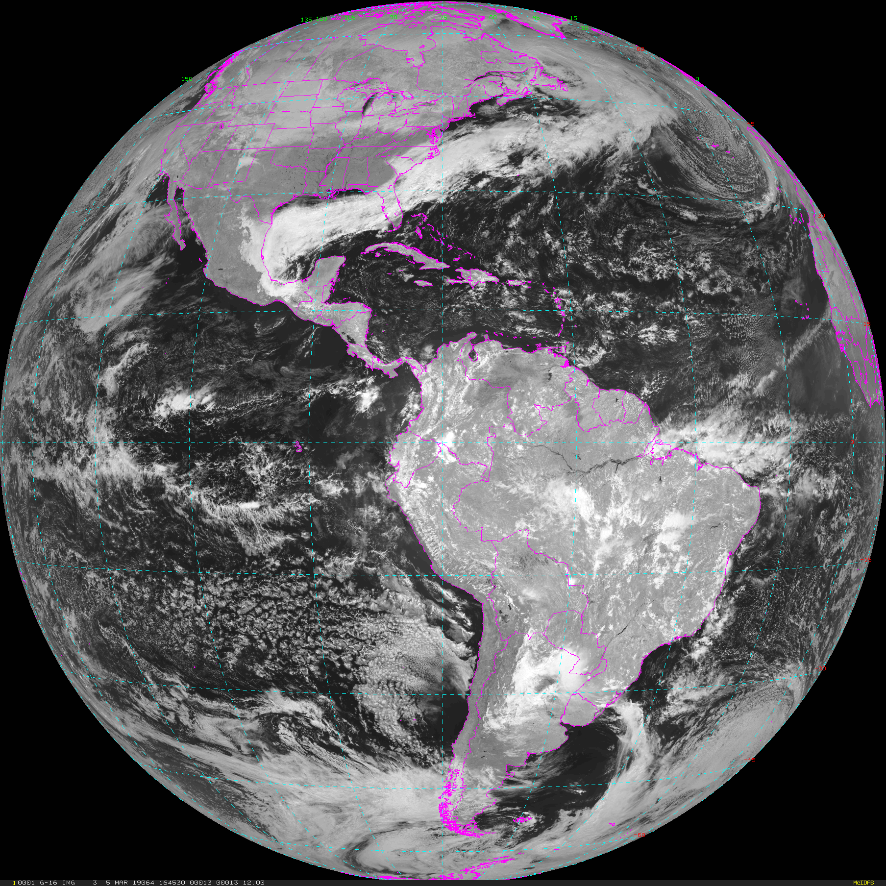
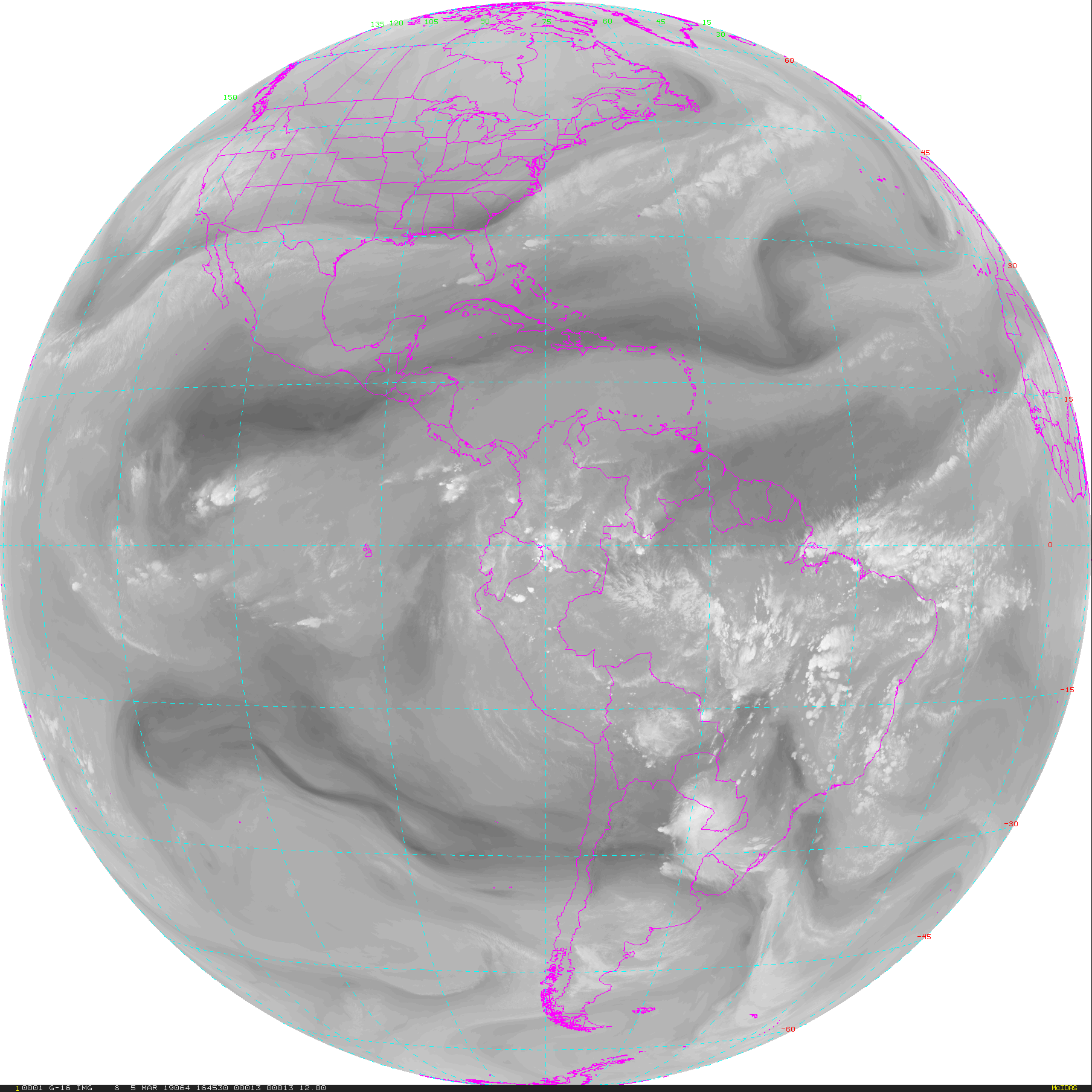
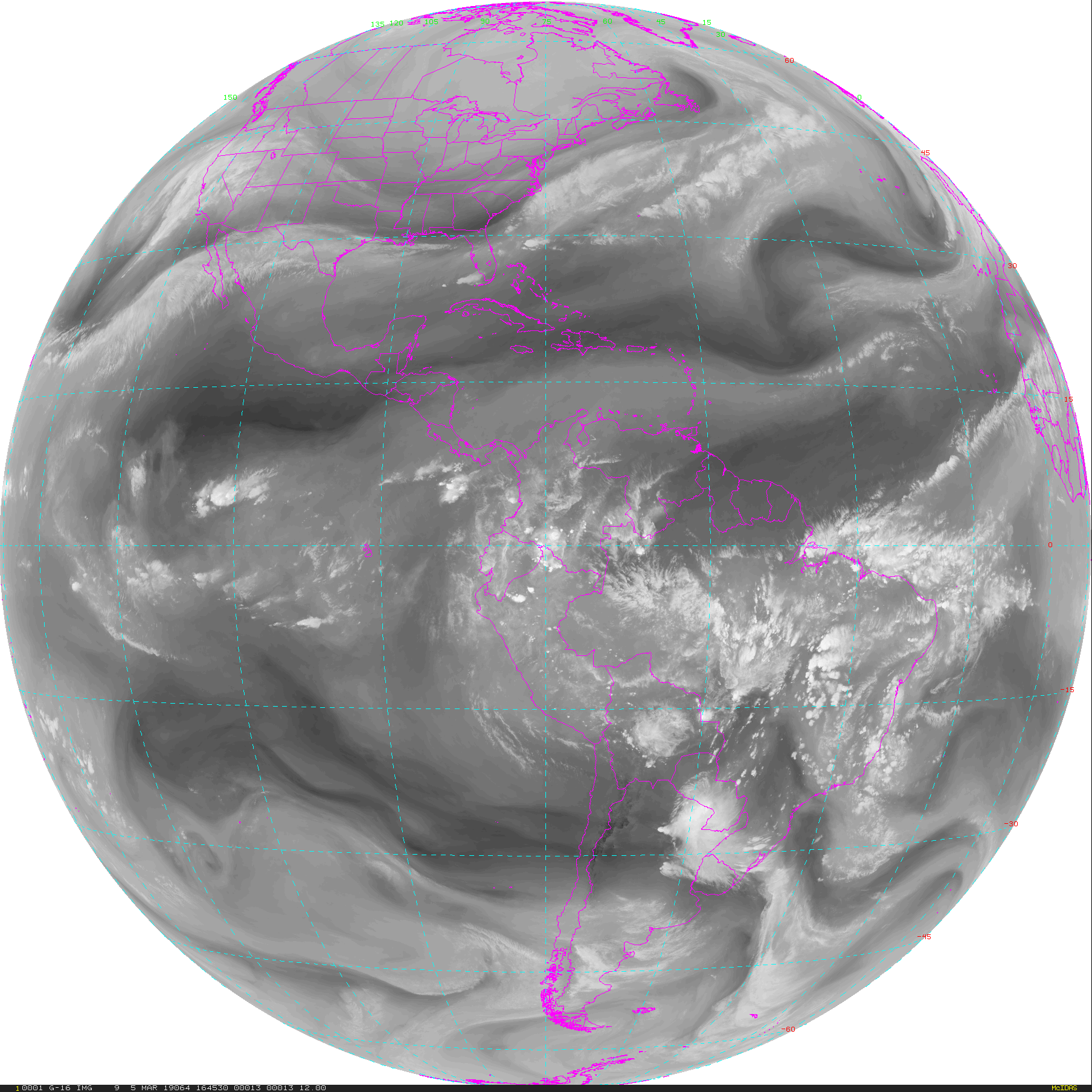
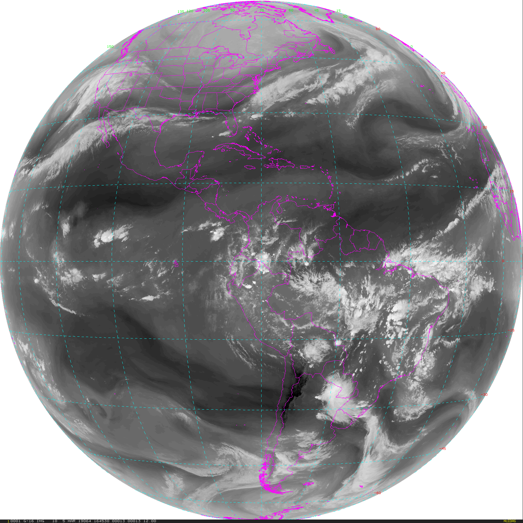
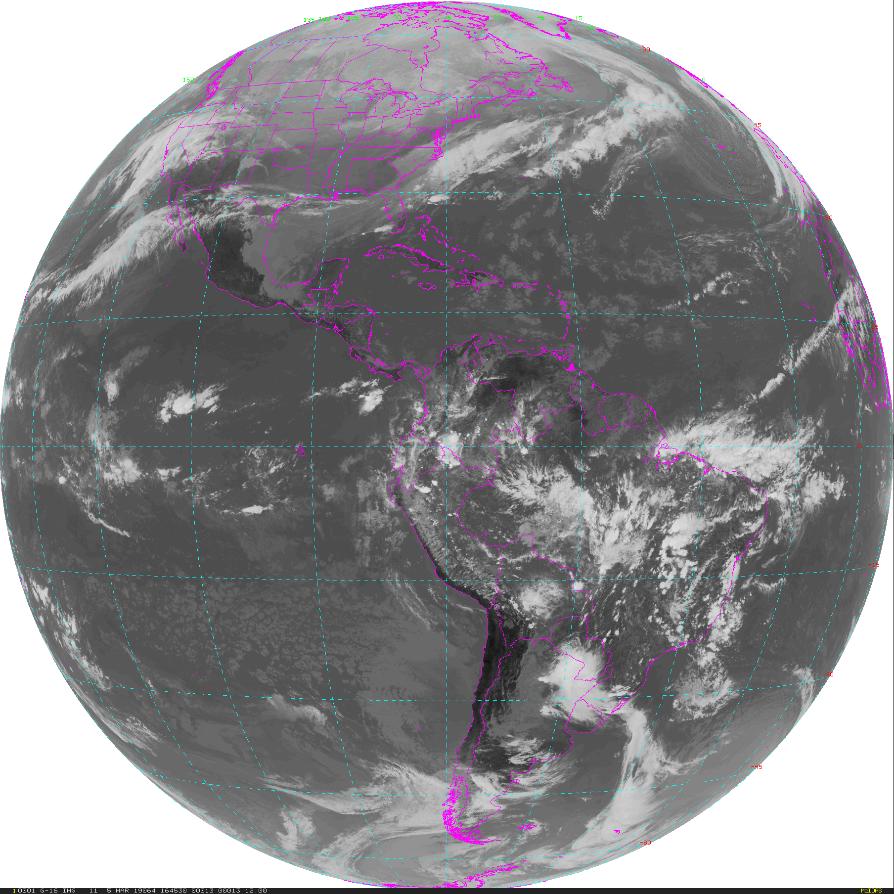
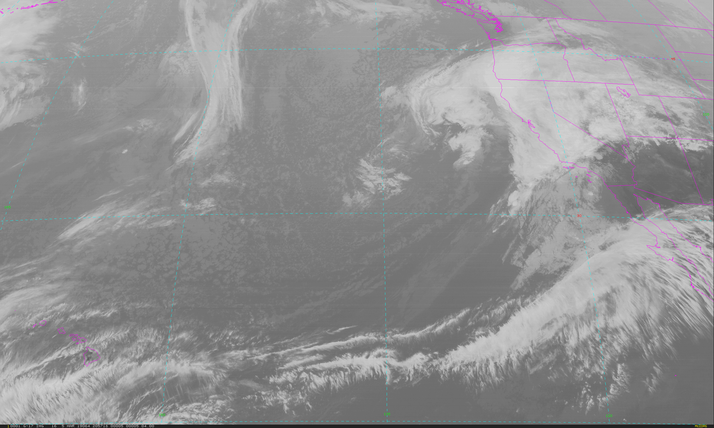
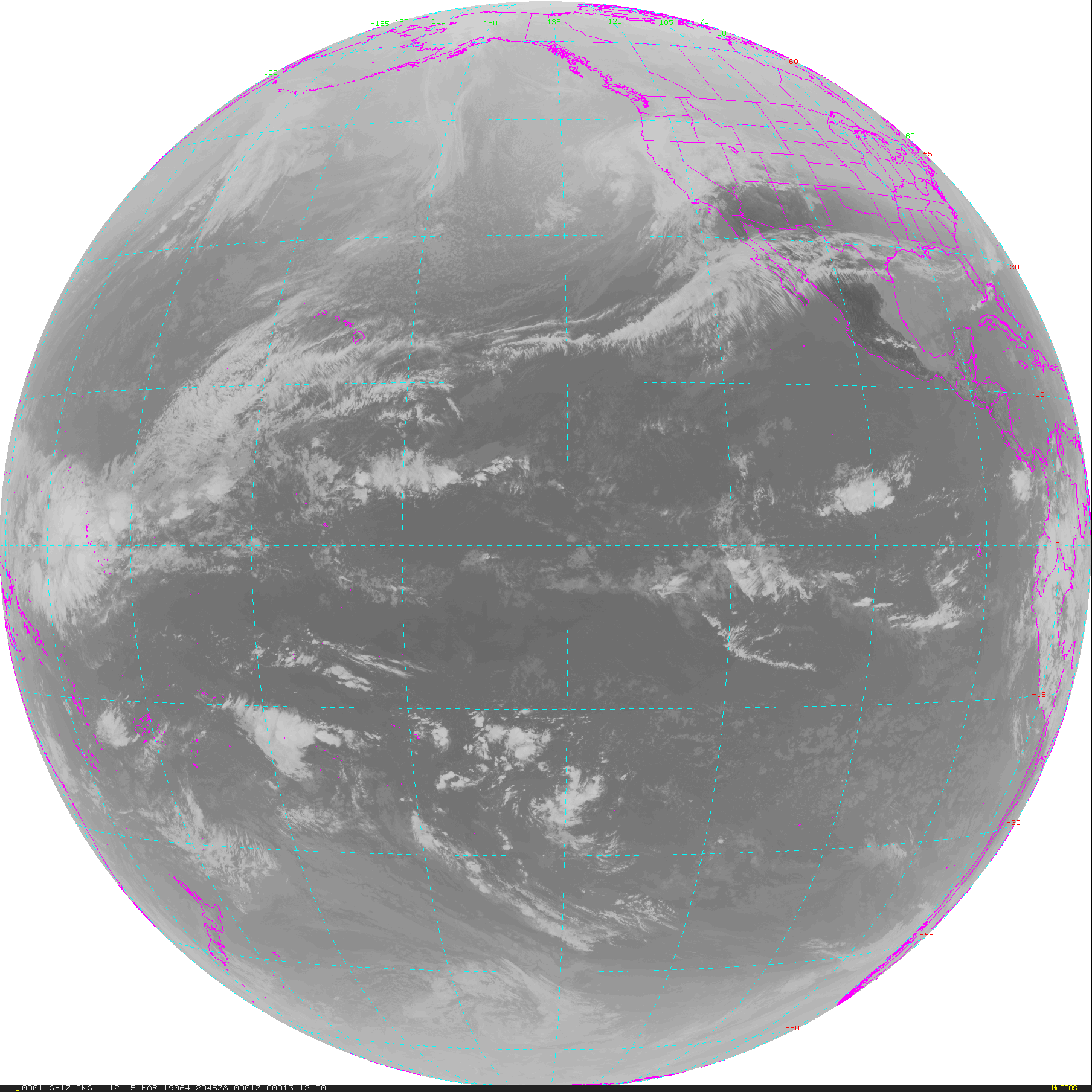
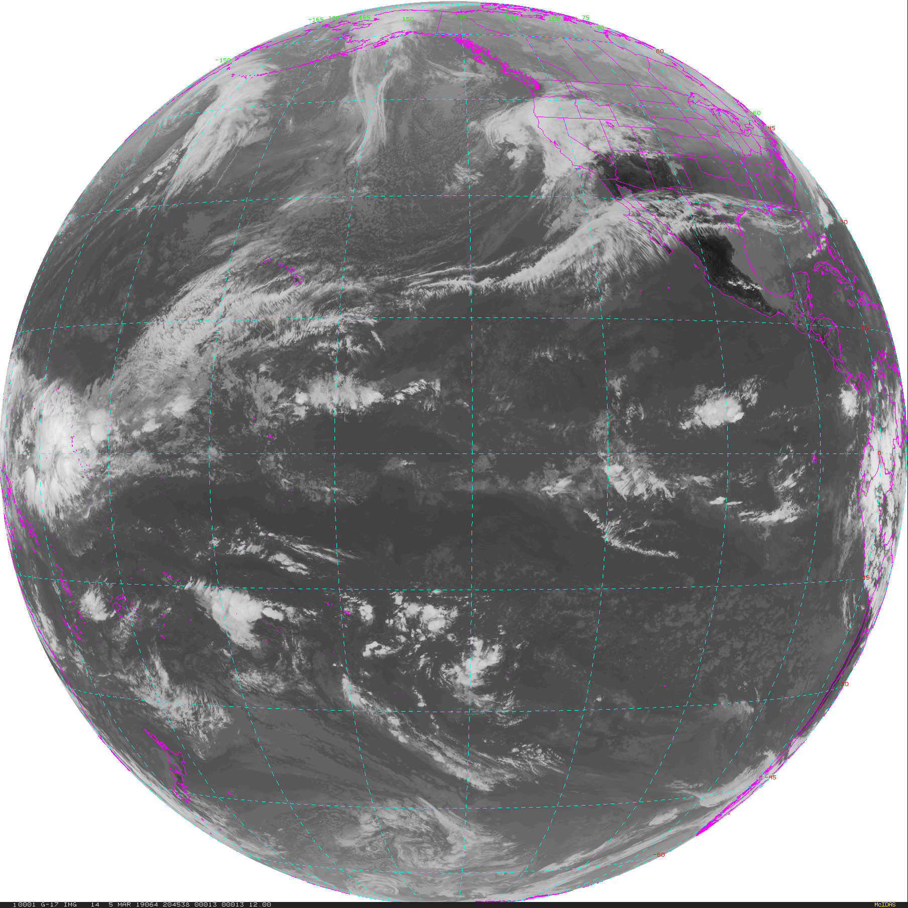
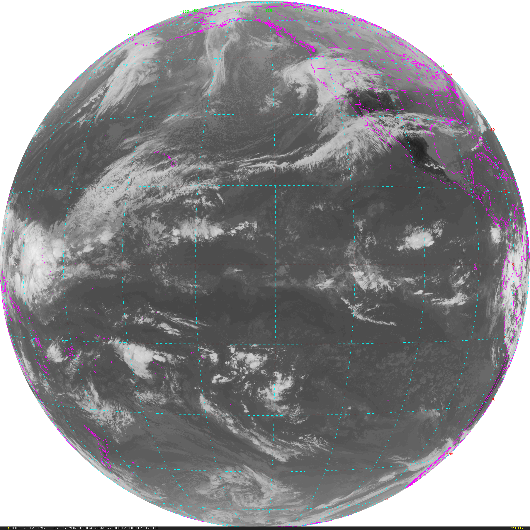
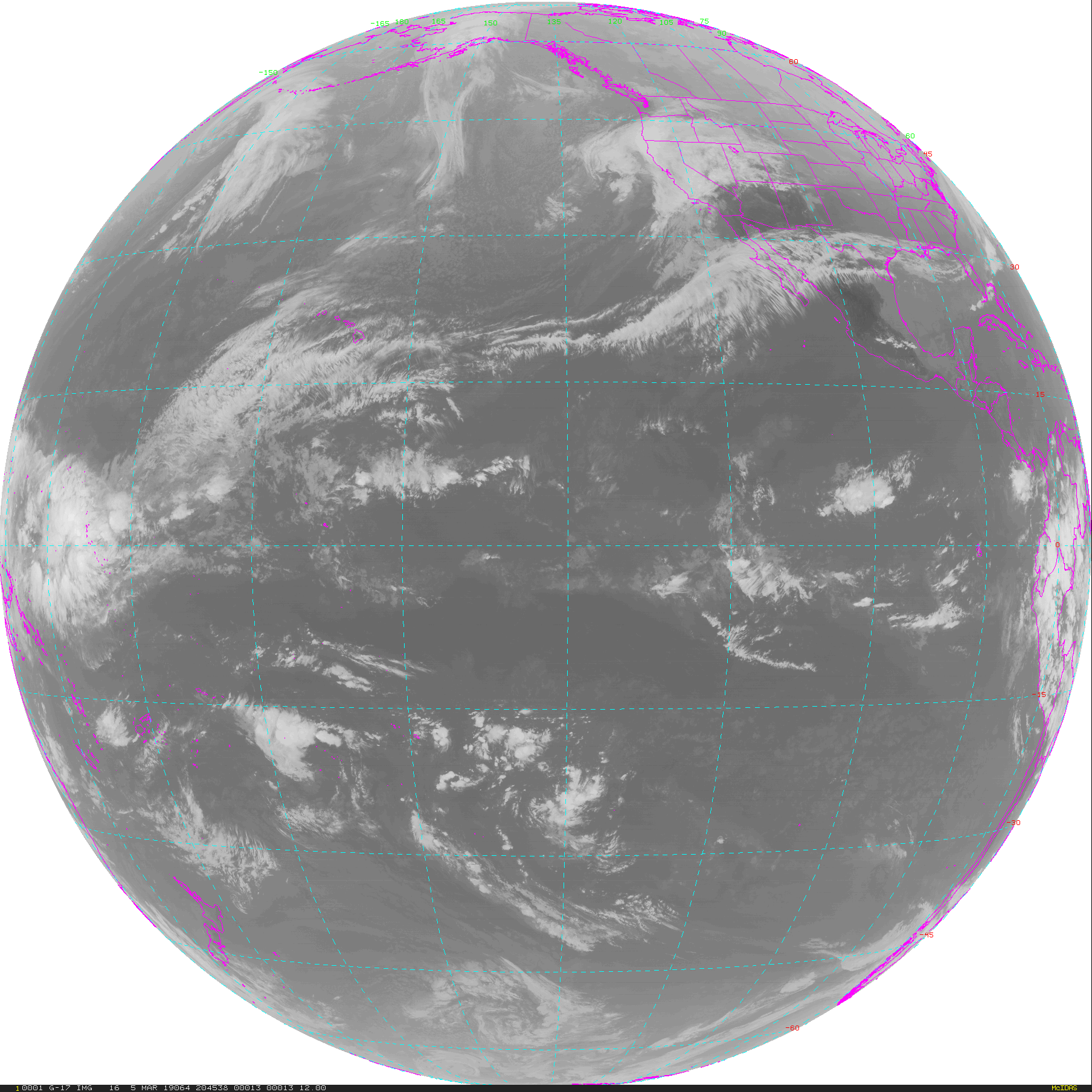
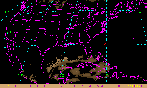
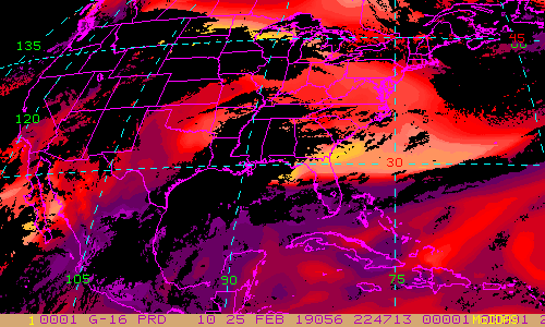
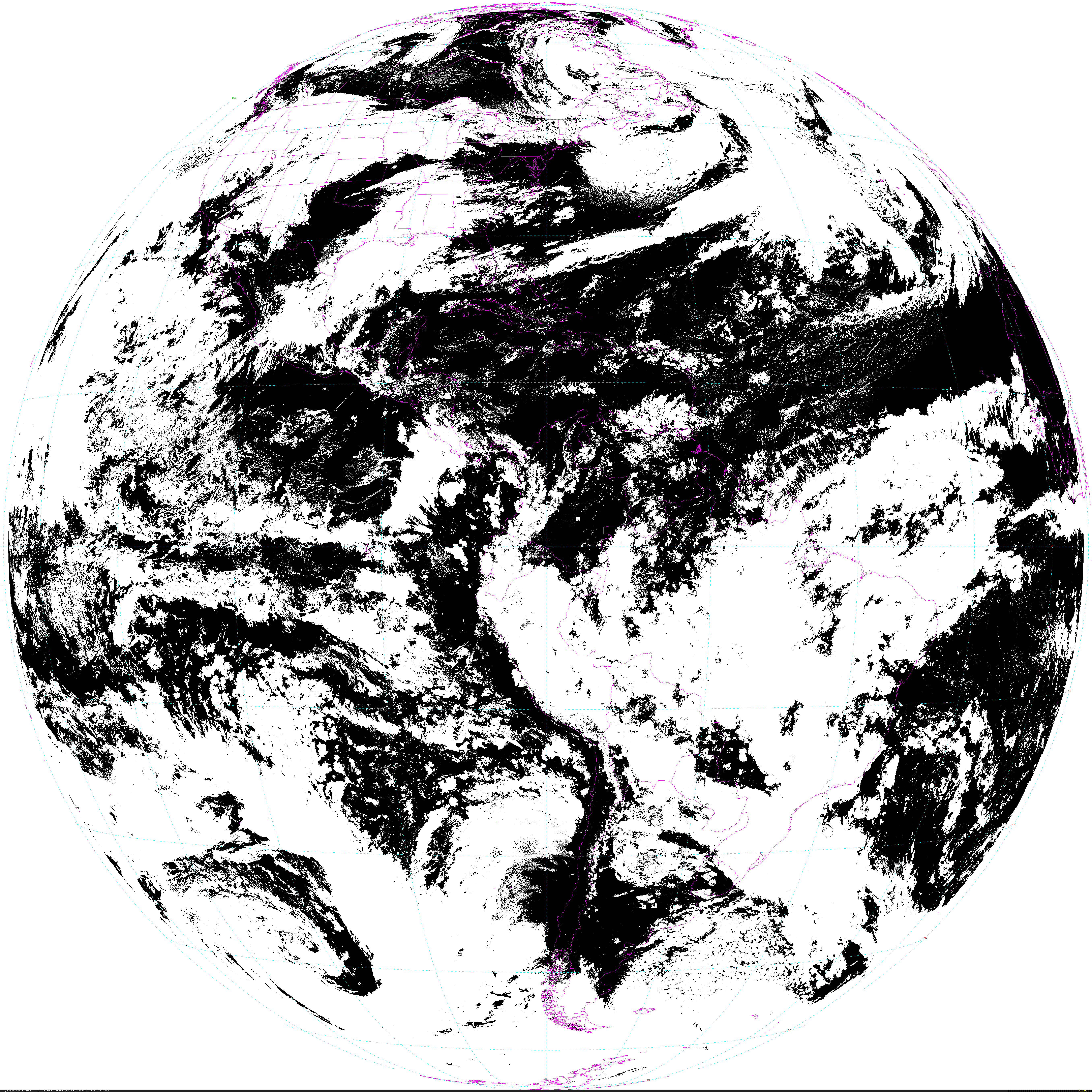
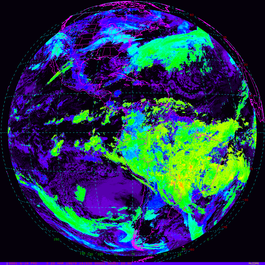
GOES-East Full Disk - 15 minute Update Interval Mode 3, 5 minute Update Interval Mode 4, 10 minute Update Interval Mode 6
NB: thumbnails are links to full resolution images which may be LARGE

Channel  Description                                  Central Lat, Lon  Resolution [km]   Size [Lines x Elements]
--------+--------------------------------------------+-----------------+-----------------+-----------------------
Band  1  0.47 um VIS aerosol-over-land                     0N,  75W           6.00              1808 x 1808
Band  2  0.64 um VIS clouds fog, insol, winds              0N,  75W           6.00              1808 x 1808
Band  3  0.86 um Near IR veg/burn scar,aerosol, wind       0N,  75W           6.00              1808 x 1808
Band  4  1.37 um Near IR cirrus cloud                      0N,  75W           6.00              1808 x 1808
Band  5  1.61 um Near IR cloud phase, snow                 0N,  75W           6.00              1808 x 1808
Band  6  2.24 um Near IR land/cloud, vege, snow            0N,  75W           6.00              1808 x 1808
Band  7  3.89 um IR Sfc, cloud, fog, fire, winds           0N,  75W           6.00              1808 x 1808
Band  8  6.17 um IR High-level WV, winds, rainfall         0N,  75W           6.00              1808 x 1808
Band  9  6.93 um IR Mid-level WV, winds, rainfall          0N,  75W           6.00              1808 x 1808
Band 10  7.34 um IR Lower-level WV, winds & SO2            0N,  75W           6.00              1808 x 1808
Band 11  8.44 um IR Total WV cloud phase, dust             0N,  75W           6.00              1808 x 1808
Band 12  9.61 um IR Total ozone,turbulence,wind            0N,  75W           6.00              1808 x 1808
Band 13  10.3 um IR Surface & cloud                        0N,  75W           6.00              1808 x 1808
Band 14  11.2 um IR Imagery,SST,clouds,rainfall            0N,  75W           6.00              1808 x 1808
Band 15  12.3 um IR Total water, ash, and SST              0N,  75W           6.00              1808 x 1808
Band 16  13.3 um IR Air temp, cloud height and amount      0N,  75W           6.00              1808 x 1808

Example LDM/IDD Product ID:
/data/ldm/pub/native/satellite/GOES/GOES16/Products/CloudAndMoistureImagery/FullDisk/Channel15/20190221/OR_ABI-L2-CMIPF-M6C15_G16_s20190521950170_e20190521950170_c20190521950170.nc
Example LDM configuration file REQUEST lines:
REQUEST NIMAGE "CMIPF.*G16" upstream_IDD_relay

Example LDM pattern-action file action
Example LDM pattern-action file L2ProdFile.sh script
GOES-East Mesoscale-1 - 1 minute Update Interval if 2 Mesoscale Scans otherwise 30 seconds for Mode 3 or 6
NB: thumbnails are links to full resolution images

Channel  Description                                  Central Lat, Lon  Resolution [km]   Size [Lines x Elements]
--------+--------------------------------------------+-----------------+-----------------+-----------------------
Band  1  0.47 um VIS aerosol-over-land                     var, var           1.00              1000 x 1000
Band  2  0.64 um VIS clouds fog, insol, winds              var, var           0.50              2000 x 2000
Band  3  0.86 um Near IR veg/burn scar,aerosol, wind       var, var           1.00              1000 x 1000
Band  4  1.37 um Near IR cirrus cloud                      var, var           2.00               500 x  500
Band  5  1.61 um Near IR cloud phase, snow                 var, var           1.00              1000 x 1000
Band  6  2.24 um Near IR land/cloud, vege, snow            var, var           2.00               500 x  500
Band  7  3.89 um IR Sfc, cloud, fog, fire, winds           var, var           2.00               500 x  500
Band  8  6.17 um IR High-level WV, winds, rainfall         var, var           2.00               500 x  500
Band  9  6.93 um IR Mid-level WV, winds, rainfall          var, var           2.00               500 x  500
Band 10  7.34 um IR Lower-level WV, winds & SO2            var, var           2.00               500 x  500
Band 11  8.44 um IR Total WV cloud phase, dust             var, var           2.00               500 x  500
Band 12  9.61 um IR Total ozone,turbulence,wind            var, var           2.00               500 x  500
Band 13  10.3 um IR Surface & cloud                        var, var           2.00               500 x  500
Band 14  11.2 um IR Imagery,SST,clouds,rainfall            var, var           2.00               500 x  500
Band 15  12.3 um IR Total water, ash, and SST              var, var           2.00               500 x  500
Band 16  13.3 um IR Air temp, cloud height and amount      var, var           2.00               500 x  500

Example LDM/IDD Product ID:
/data/ldm/pub/native/satellite/GOES/GOES16/Products/CloudAndMoistureImagery/Mesoscale-1/Channel02/20190221/OR_ABI-L2-CMIPM1-M6C02_G16_s20190522006210_e20190522006210_c20190522006210.nc
Example LDM configuration file REQUEST line:
REQUEST SATELLITE "CMIPM1.*G16" upstream_IDD_relay

Example LDM pattern-action file action
Example LDM pattern-action file L2ProdFile.sh script
GOES-East Mesoscale-2 - 1 minute Update Interval if 2 Mesoscale Scans otherwise 30 seconds for Mode 3 or 6
NB: thumbnails are links to full resolution images

Channel  Description                                  Central Lat, Lon  Resolution [km]   Size [Lines x Elements]
--------+--------------------------------------------+-----------------+-----------------+-----------------------
Band  1  0.47 um VIS aerosol-over-land                     var, var           1.00              1000 x 1000
Band  2  0.64 um VIS clouds fog, insol, winds              var, var           0.50              2000 x 2000
Band  3  0.86 um Near IR veg/burn scar,aerosol, wind       var, var           1.00              1000 x 1000
Band  4  1.37 um Near IR cirrus cloud                      var, var           2.00               500 x  500
Band  5  1.61 um Near IR cloud phase, snow                 var, var           1.00              1000 x 1000
Band  6  2.24 um Near IR land/cloud, vege, snow            var, var           2.00               500 x  500
Band  7  3.89 um IR Sfc, cloud, fog, fire, winds           var, var           2.00               500 x  500
Band  8  6.17 um IR High-level WV, winds, rainfall         var, var           2.00               500 x  500
Band  9  6.93 um IR Mid-level WV, winds, rainfall          var, var           2.00               500 x  500
Band 10  7.34 um IR Lower-level WV, winds & SO2            var, var           2.00               500 x  500
Band 11  8.44 um IR Total WV cloud phase, dust             var, var           2.00               500 x  500
Band 12  9.61 um IR Total ozone,turbulence,wind            var, var           2.00               500 x  500
Band 13  10.3 um IR Surface & cloud                        var, var           2.00               500 x  500
Band 14  11.2 um IR Imagery,SST,clouds,rainfall            var, var           2.00               500 x  500
Band 15  12.3 um IR Total water, ash, and SST              var, var           2.00               500 x  500
Band 16  13.3 um IR Air temp, cloud height and amount      var, var           2.00               500 x  500

Example LDM/IDD Product ID:
/data/ldm/pub/native/satellite/GOES/GOES16/Products/CloudAndMoistureImagery/Mesoscale-2/Channel02/20190221/OR_ABI-L2-CMIPM2-M6C02_G16_s20190522011510_e20190522011510_c20190522011510.nc
Example LDM configuration file REQUEST line:
REQUEST NIMAGE "CMIPM2.*G16" upstream_IDD_relay

Example LDM pattern-action file action
Example LDM pattern-action file L2ProdFile.sh script
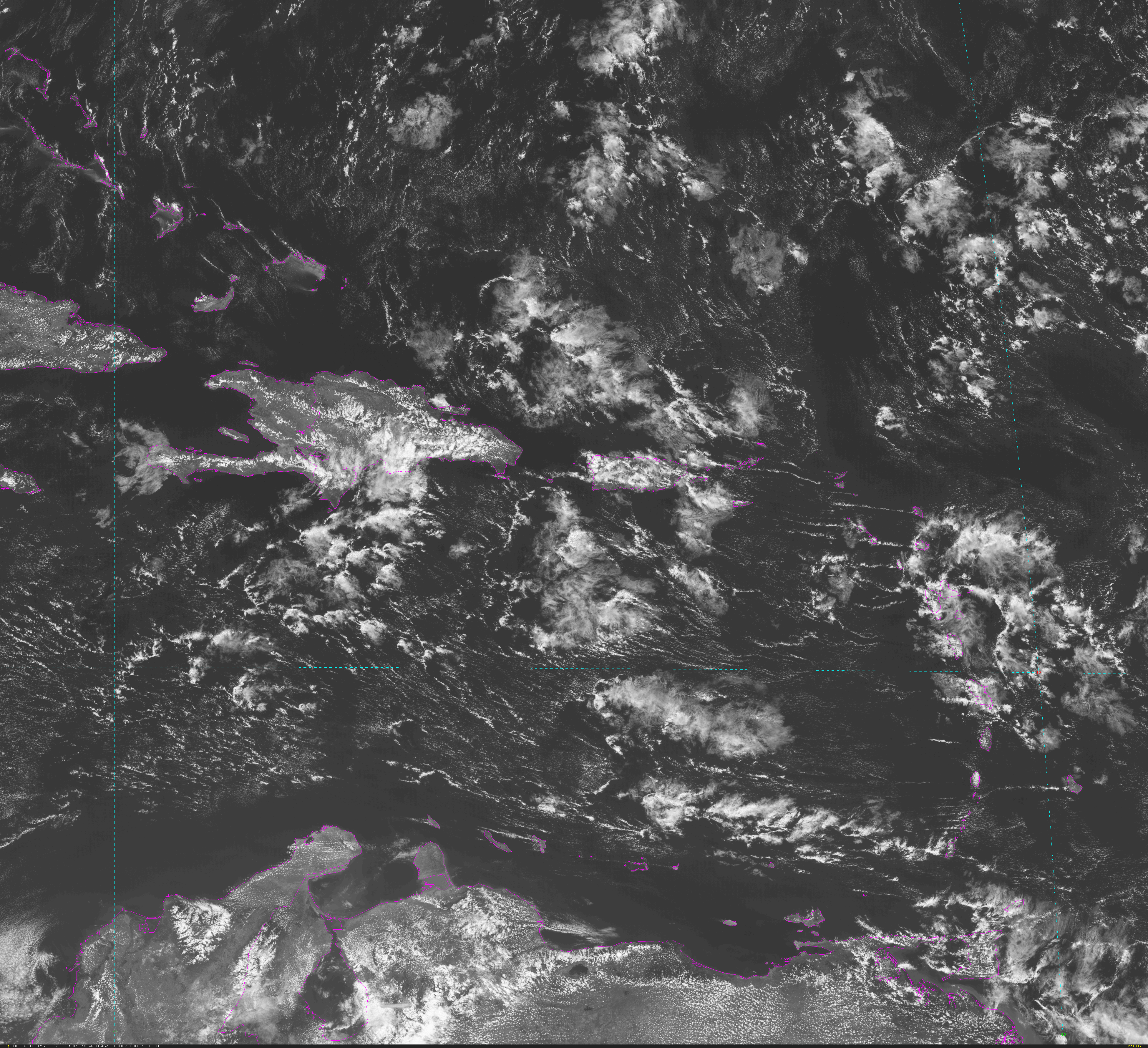
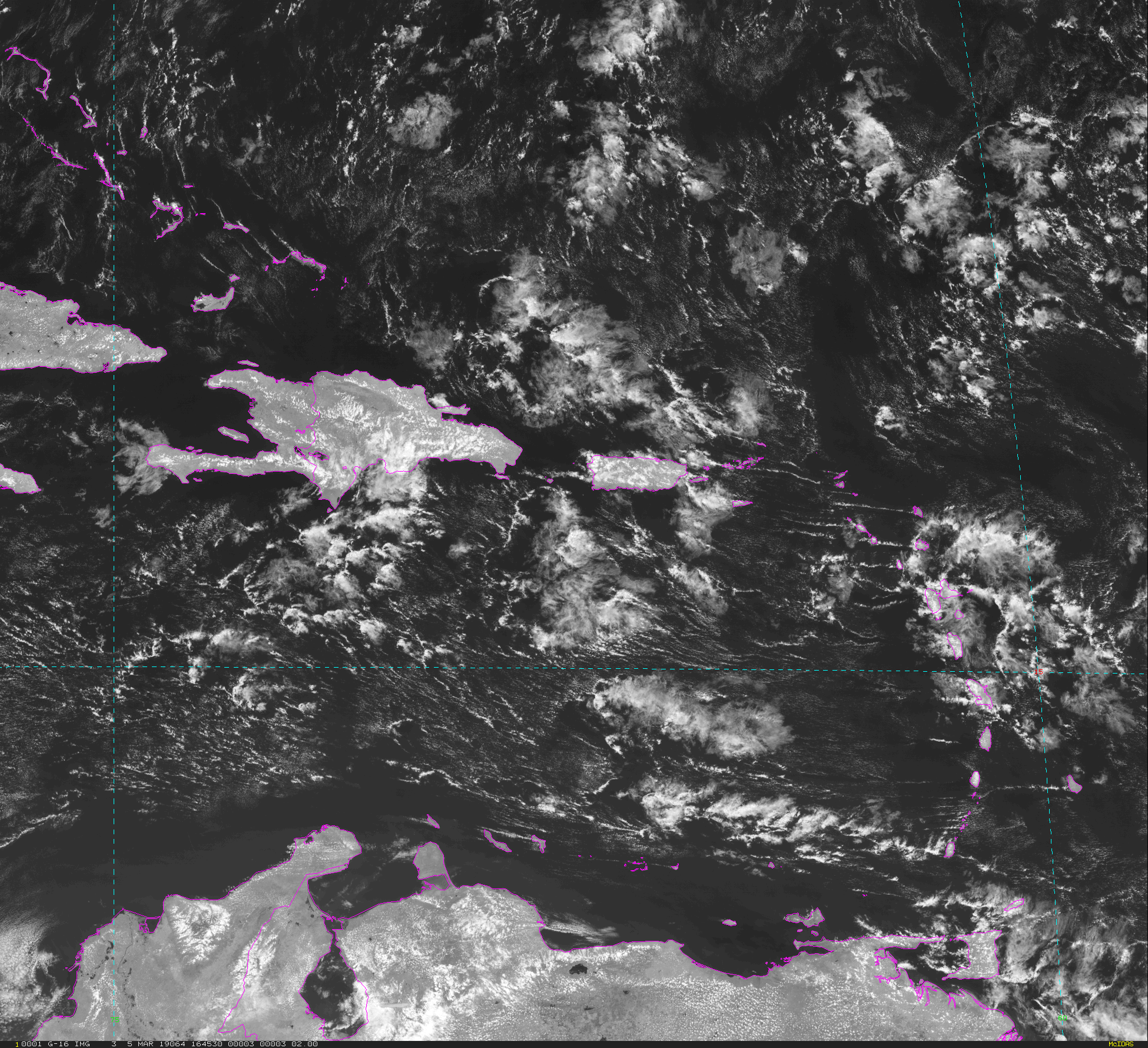
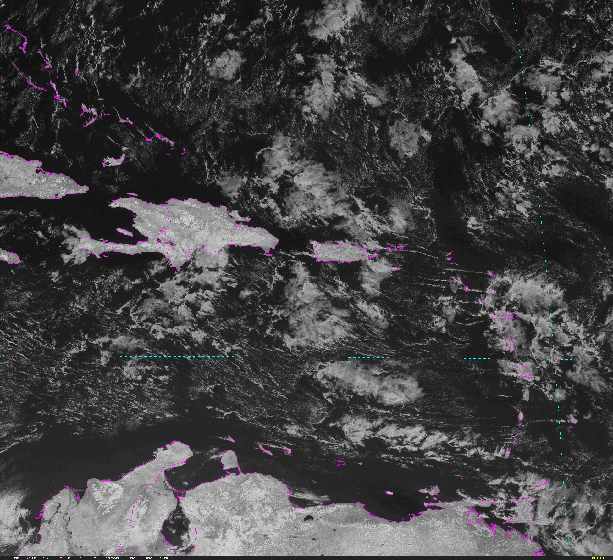
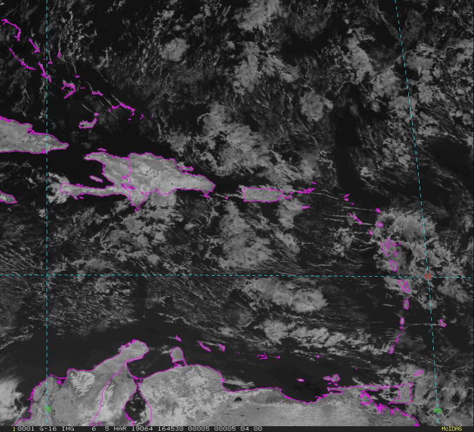
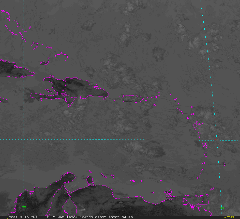
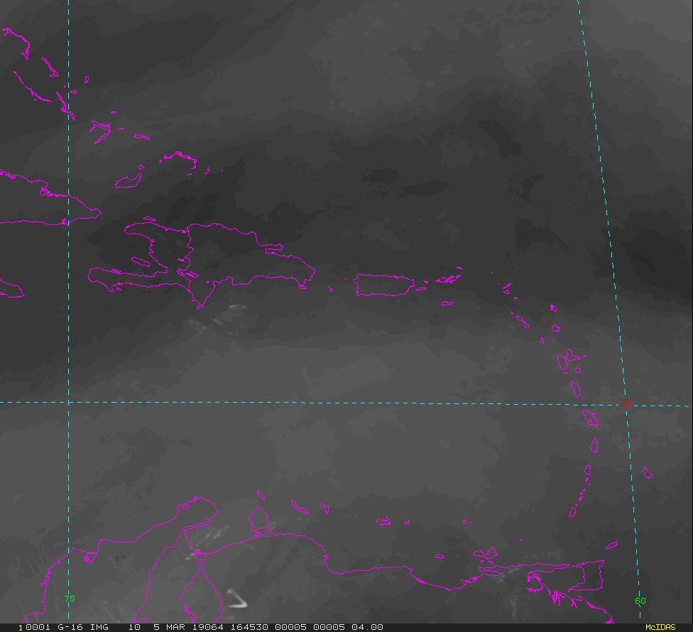
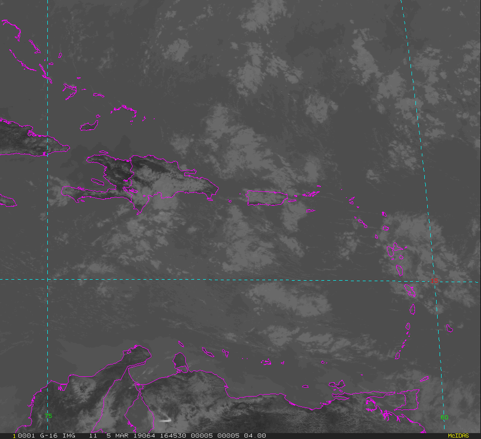
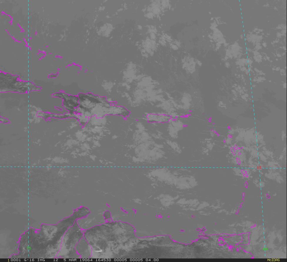
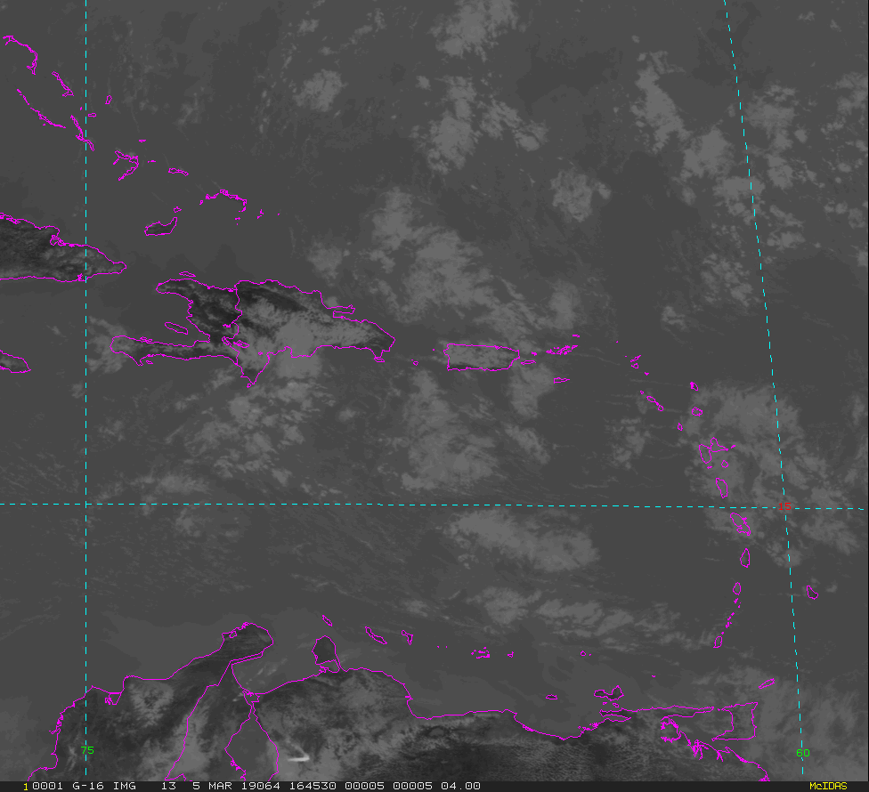
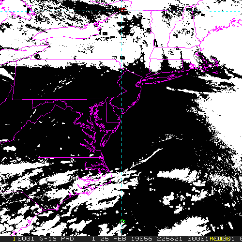
GOES-East Puerto Rico - 15 minute Update Interval Mode 3, 5 minute Update Interval Mode 4, 10 minute Update Interval Mode 6
NB: thumbnails are links to full resolution images

Channel  Description                                  Central Lat, Lon  Resolution [km]   Size [Lines x Elements]
--------+--------------------------------------------+-----------------+-----------------+-----------------------
Band  1  0.47 um VIS aerosol-over-land                     17N,  68W           1.00              1000 x 1000
Band  2  0.64 um VIS clouds fog, insol, winds              17N,  68W           0.50              2000 x 2000
Band  3  0.86 um Near IR veg/burn scar,aerosol, wind       17N,  68W           1.00              1000 x 1000
Band  4  1.37 um Near IR cirrus cloud                      17N,  68W           2.00               500 x  500
Band  5  1.61 um Near IR cloud phase, snow                 17N,  68W           1.00              1000 x 1000
Band  6  2.24 um Near IR land/cloud, vege, snow            17N,  68W           2.00               500 x  500
Band  7  3.89 um IR Sfc, cloud, fog, fire, winds           17N,  68W           2.00               500 x  500
Band  8  6.17 um IR High-level WV, winds, rainfall         17N,  68W           2.00               500 x  500
Band  9  6.93 um IR Mid-level WV, winds, rainfall          17N,  68W           2.00               500 x  500
Band 10  7.34 um IR Lower-level WV, winds & SO2            17N,  68W           2.00               500 x  500
Band 11  8.44 um IR Total WV cloud phase, dust             17N,  68W           2.00               500 x  500
Band 12  9.61 um IR Total ozone,turbulence,wind            17N,  68W           2.00               500 x  500
Band 13  10.3 um IR Surface & cloud                        17N,  68W           2.00               500 x  500
Band 14  11.2 um IR Imagery,SST,clouds,rainfall            17N,  68W           2.00               500 x  500
Band 15  12.3 um IR Total water, ash, and SST              17N,  68W           2.00               500 x  500
Band 16  13.3 um IR Air temp, cloud height and amount      17N,  68W           2.00               500 x  500

Example LDM/IDD Product ID:
/data/ldm/pub/native/satellite/GOES/GOES16/Products/CloudAndMoistureImagery/PuertoRico/Channel02/20190221/OR_ABI-L2-CMIPPR-M3C02_G16_s20190522011510_e20190522011510_c20190522011510.nc
Example LDM configuration file REQUEST line:
REQUEST NIMAGE "CMIPPR.*G16" upstream_IDD_relay

Example LDM pattern-action file action
Example LDM pattern-action file L2ProdFile.sh script
Example LDM/IDD Product IDs:
/data/ldm/pub/native/satellite/GOES/GOES16/Products/CloudAndMoistureImagery/CONUS/Channel16/20190221/OR_ABI-L2-CMIPC-M6C16_G16_s20190522016130_e20190522016130_c20190522016130.nc
/data/ldm/pub/native/satellite/GOES/GOES16/Products/CloudAndMoistureImagery/FullDisk/Channel07/20190221/OR_ABI-L2-CMIPF-M6C07_G16_s20190522010170_e20190522010170_c20190522010170.nc
/data/ldm/pub/native/satellite/GOES/GOES16/Products/CloudAndMoistureImagery/Mesoscale-1/Channel02/20190221/OR_ABI-L2-CMIPM1-M6C02_G16_s20190522015210_e20190522015210_c20190522015210.nc
/data/ldm/pub/native/satellite/GOES/GOES16/Products/CloudAndMoistureImagery/Mesoscale-2/Channel13/20190221/OR_ABI-L2-CMIPM2-M6C13_G16_s20190522014510_e20190522014510_c20190522014510.nc
/data/ldm/pub/native/satellite/GOES/GOES16/Products/CloudAndMoistureImagery/PuertoRico/Channel11/20190221/OR_ABI-L2-CMIPPR-M6C11_G16_s20190522014510_e20190522014510_c20190522014510.nc
Example LDM configuration file REQUEST line:
REQUEST NIMAGE "ABI.*G16" upstream_IDD_relay

Example LDM pattern-action file FILE action
Example LDM pattern-action file L2ProdFile.sh script
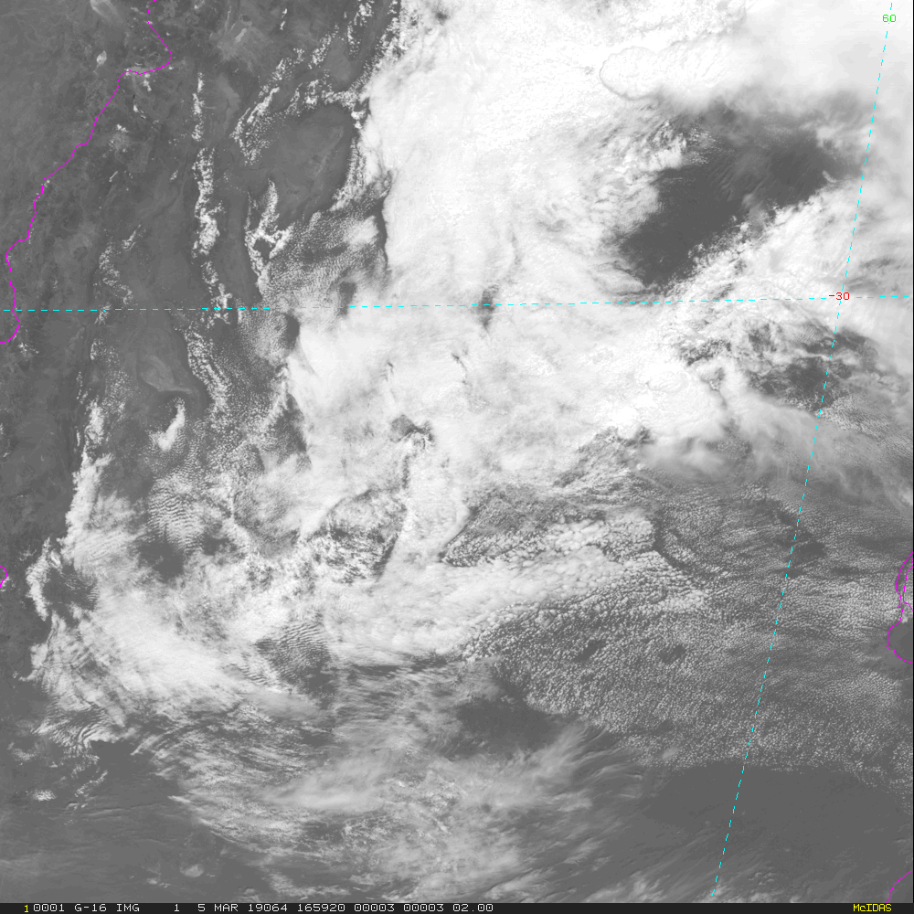
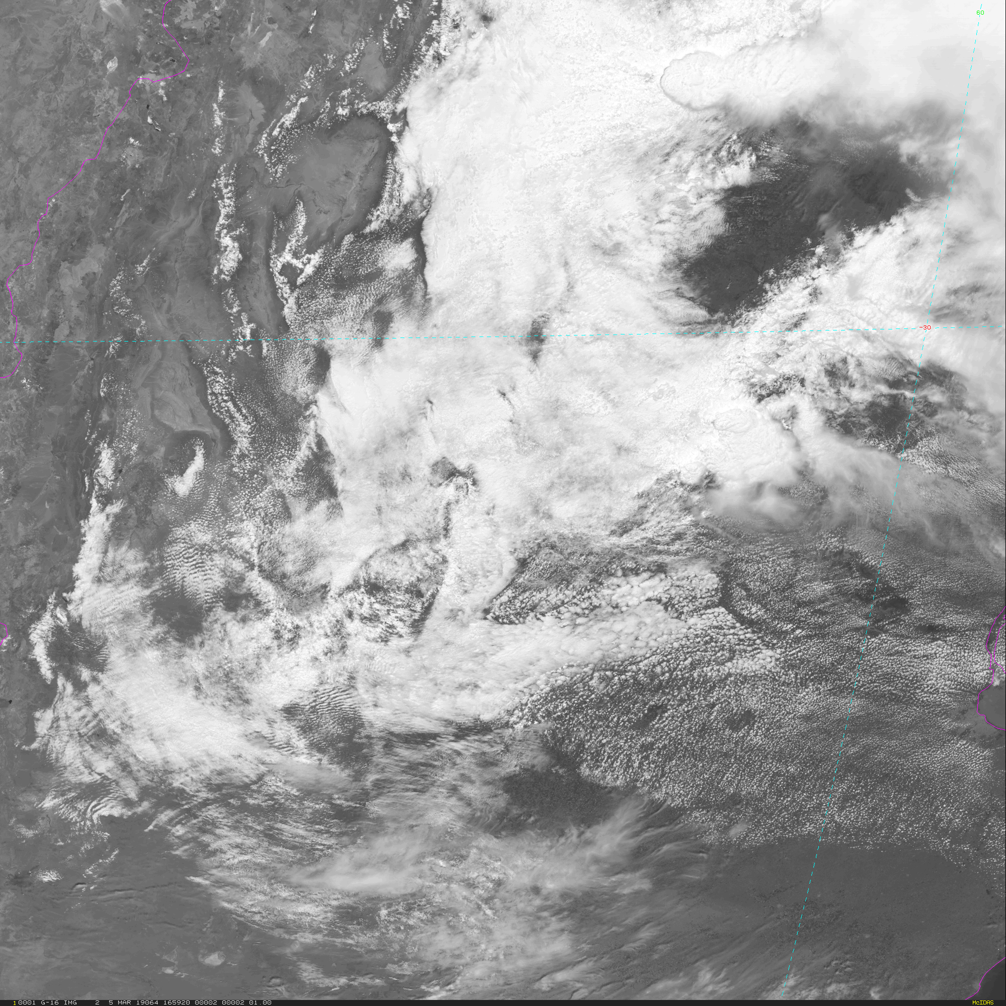
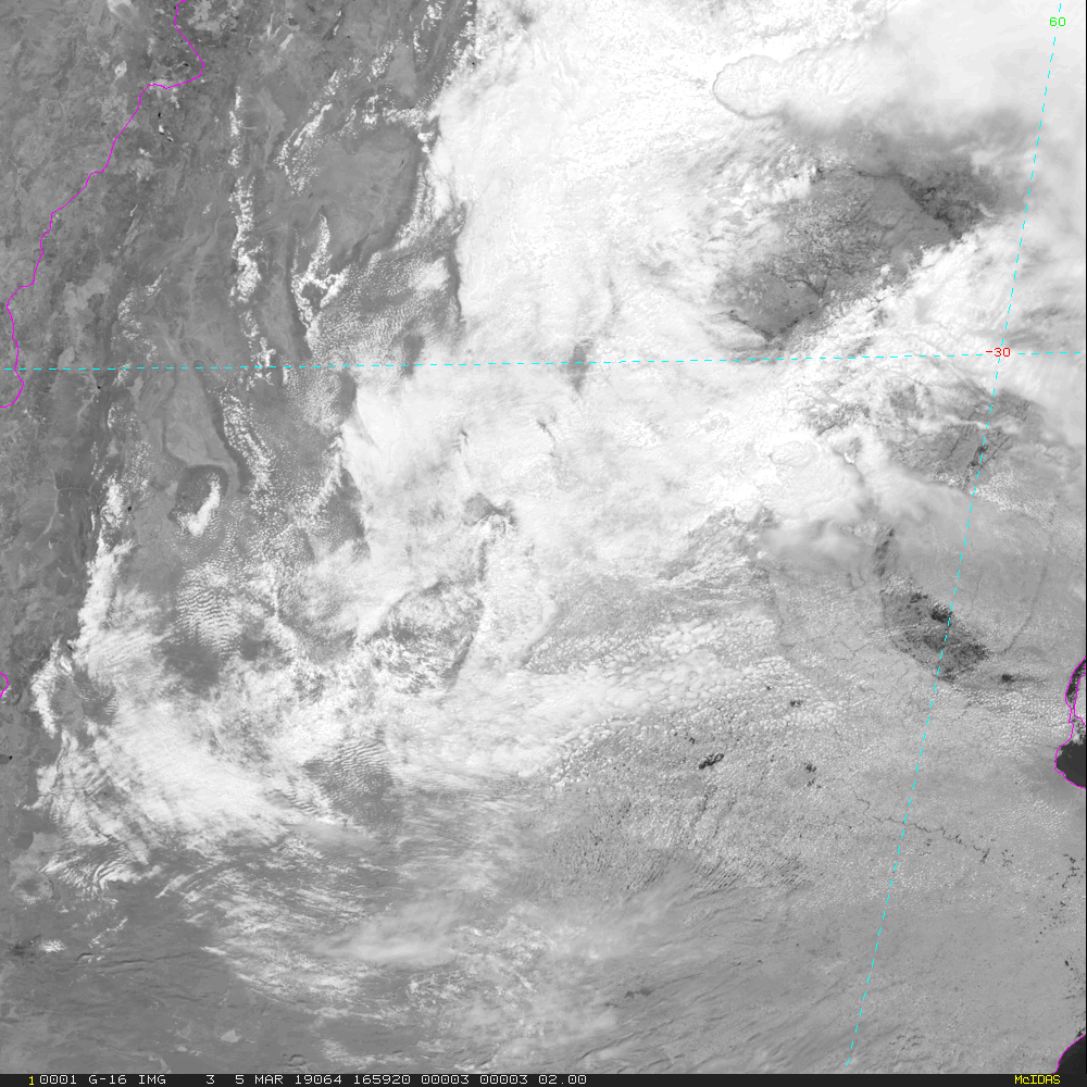
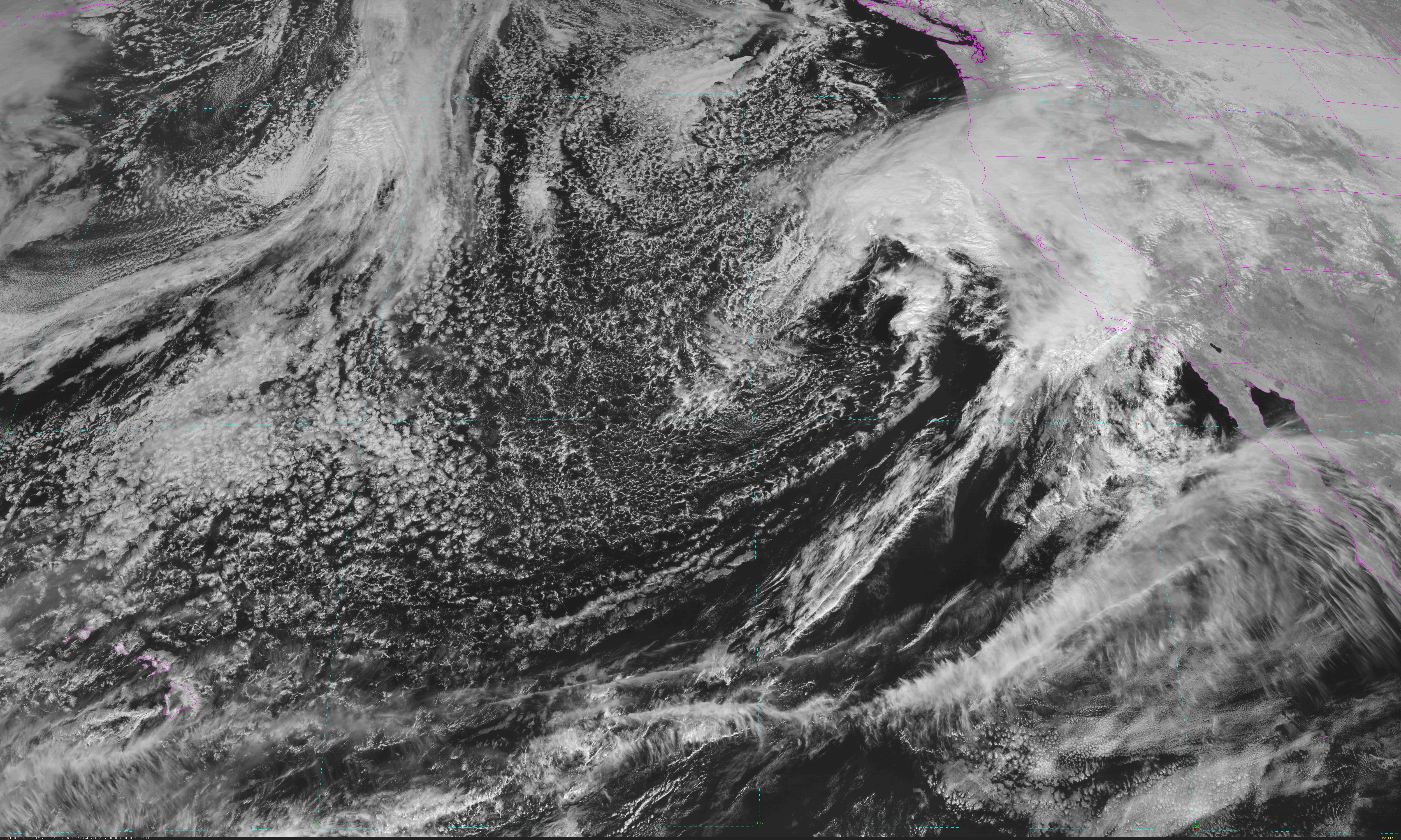
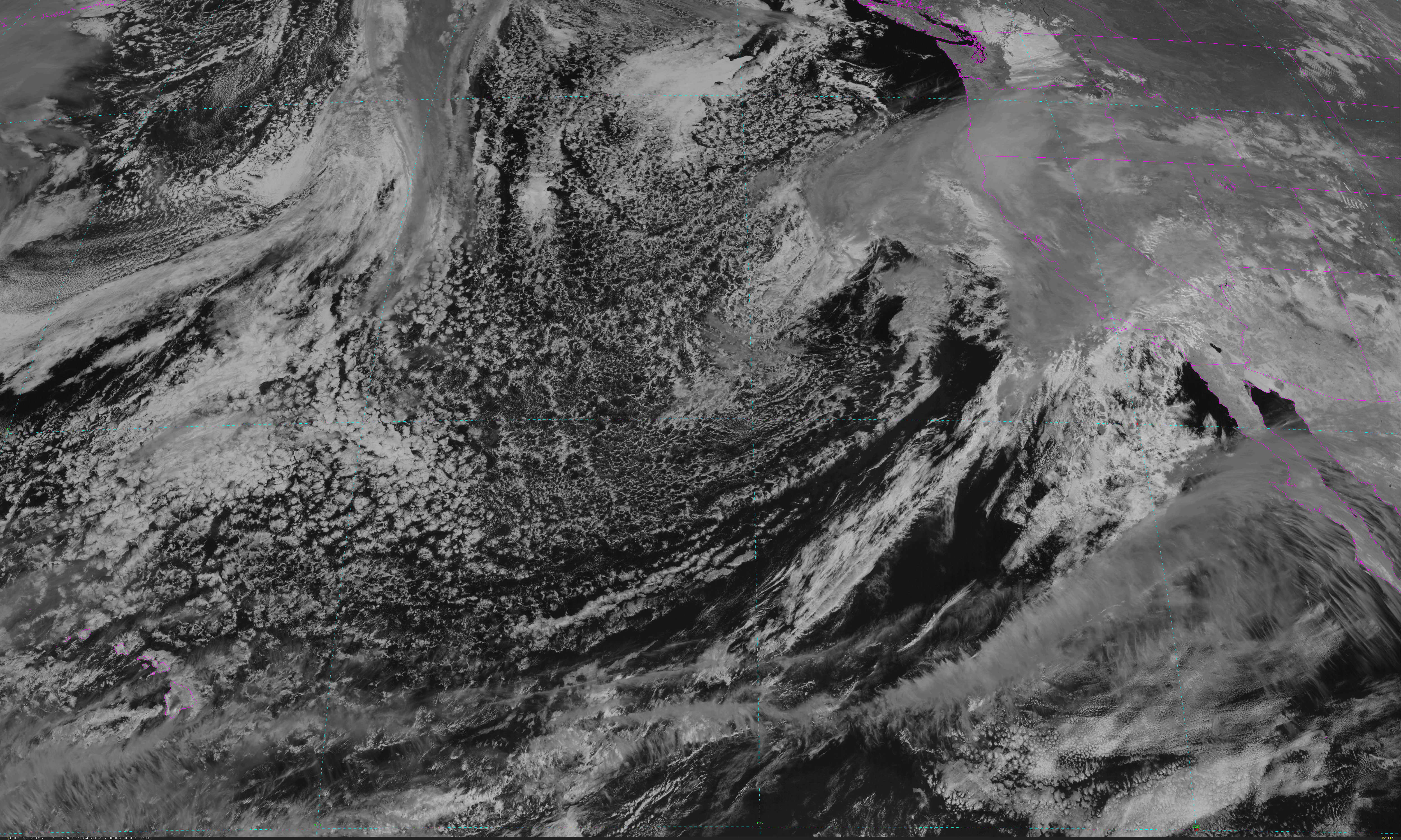
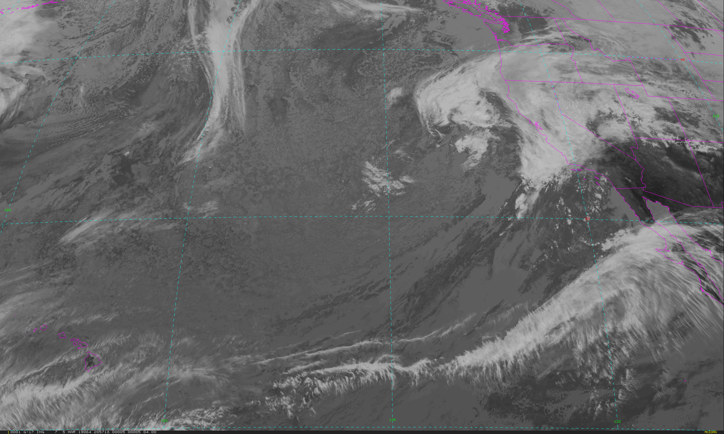
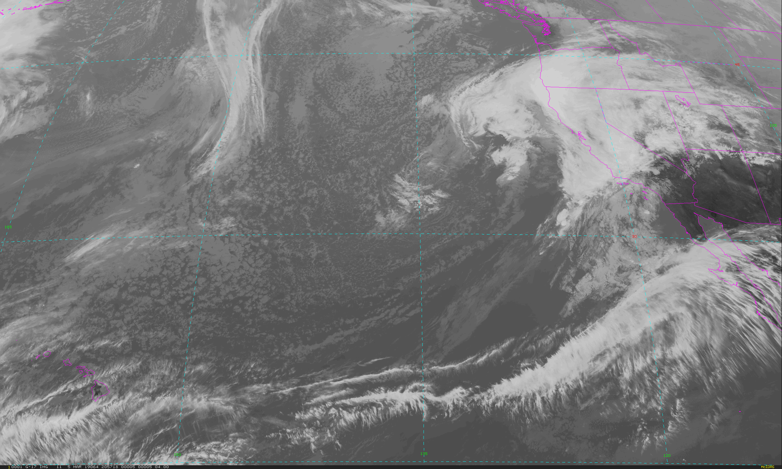
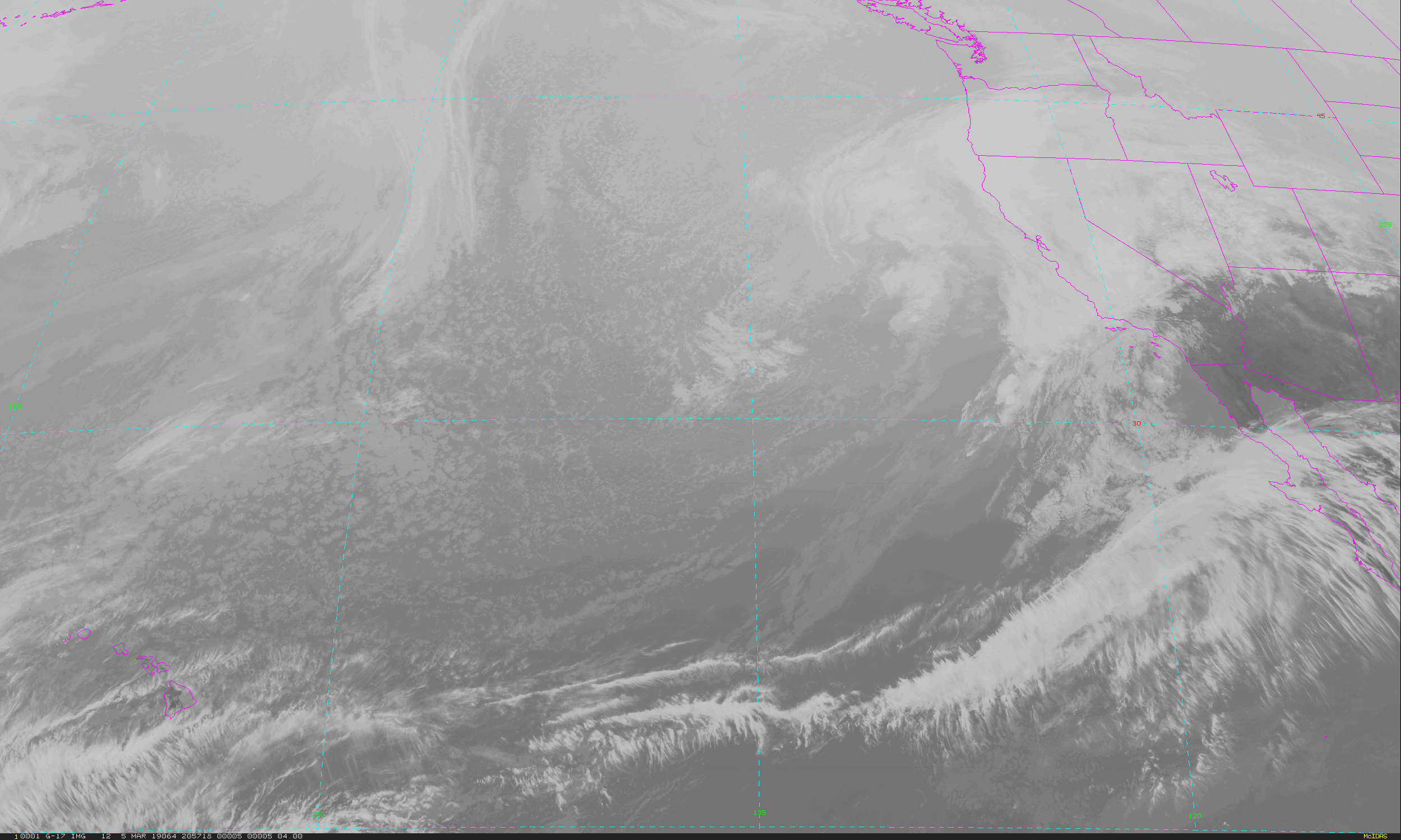
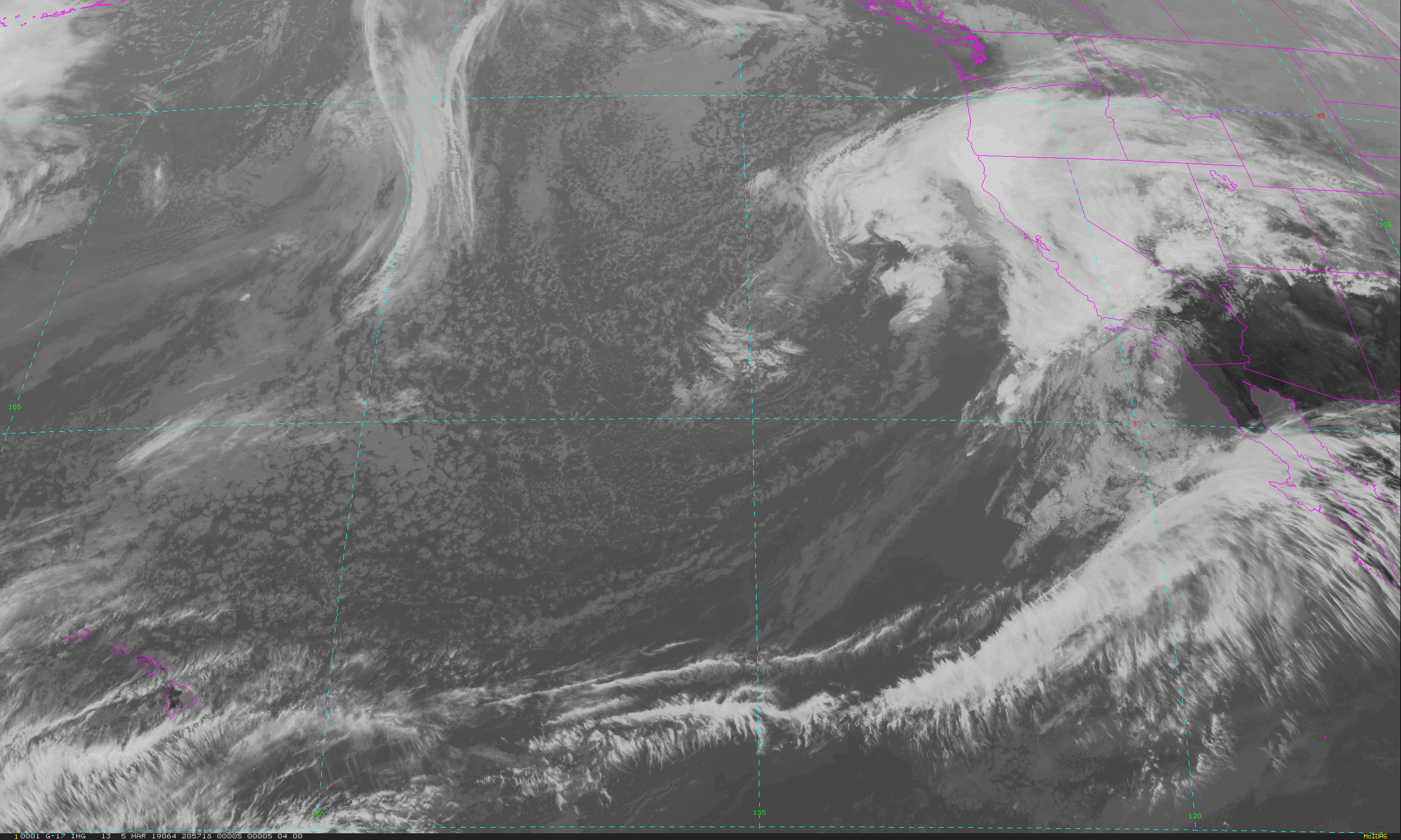
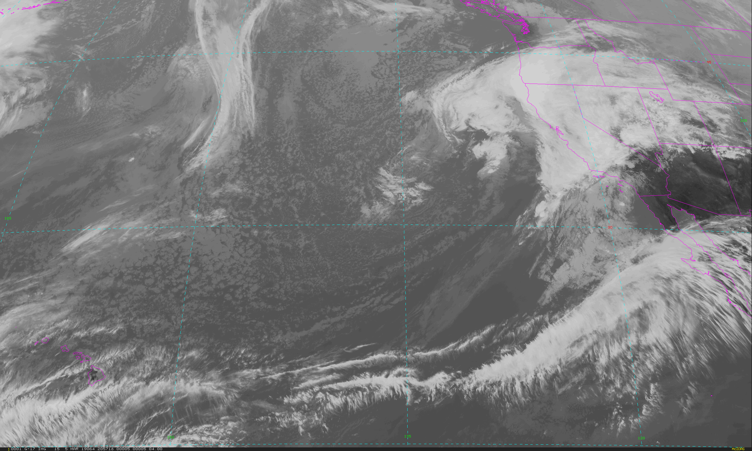
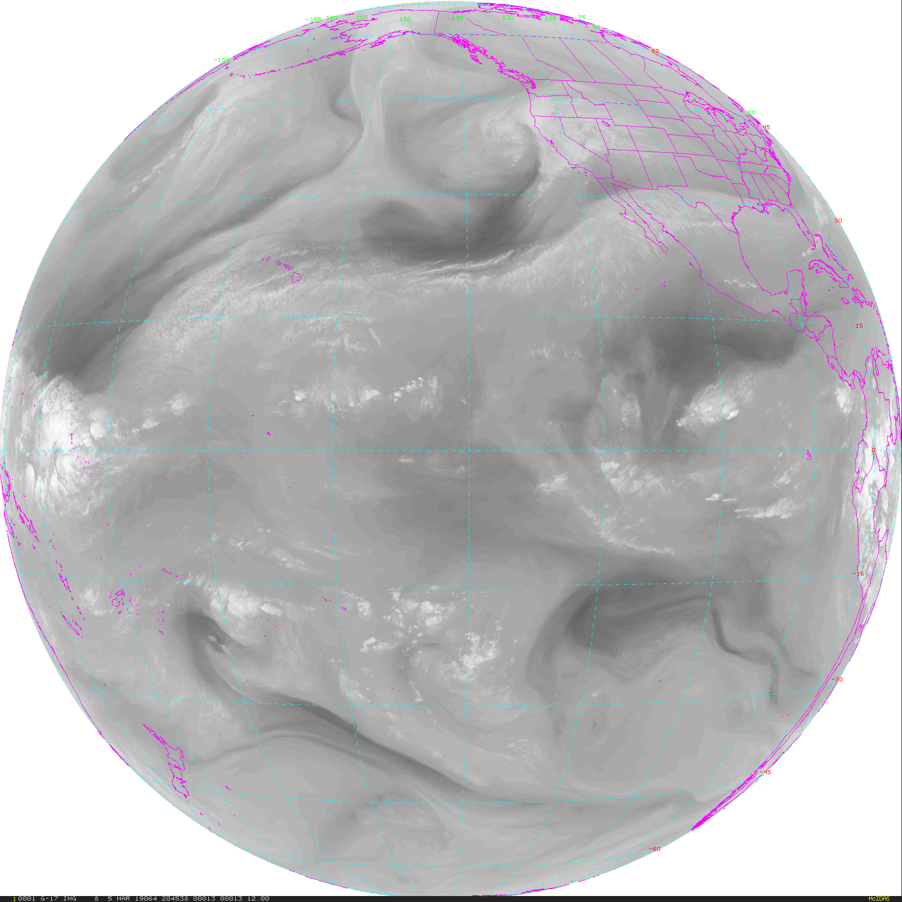
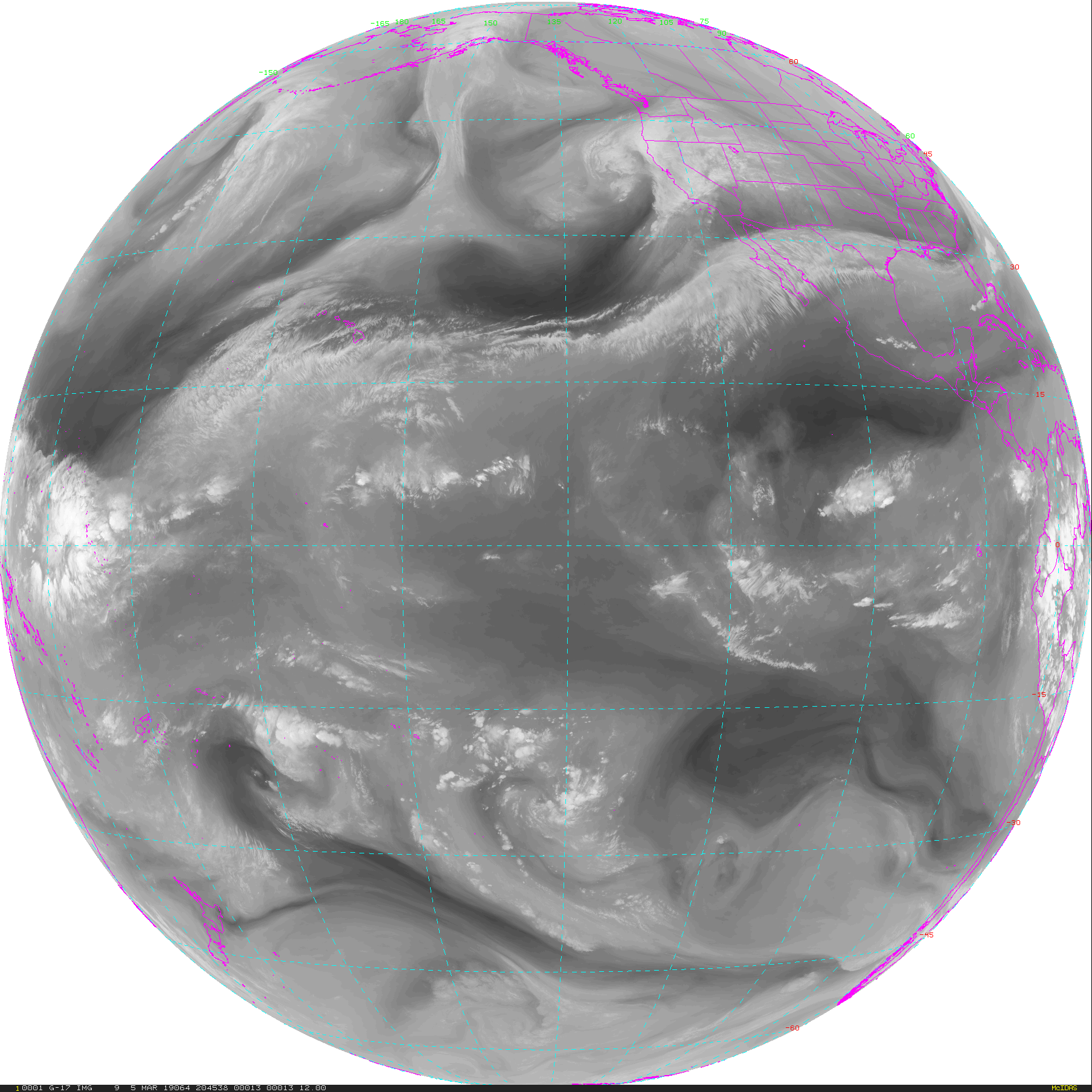
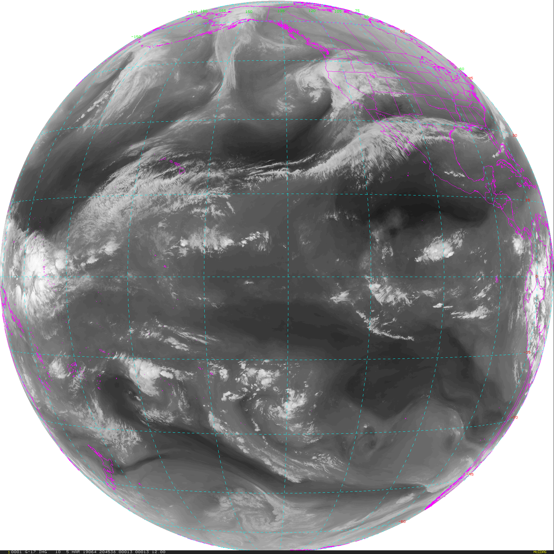
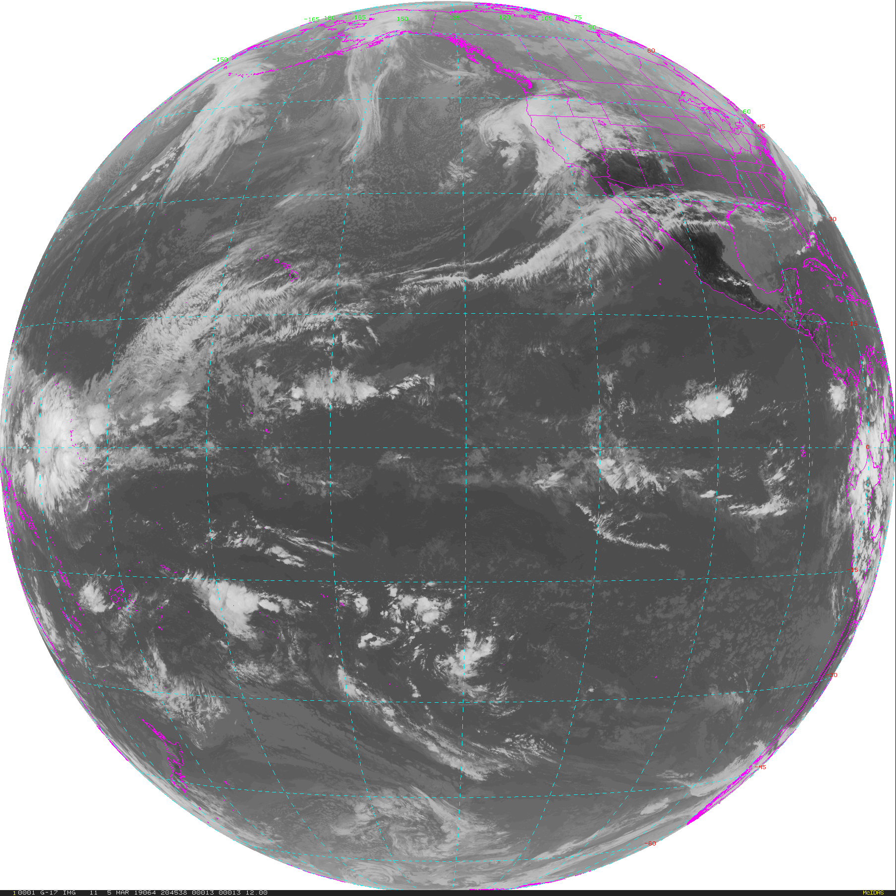
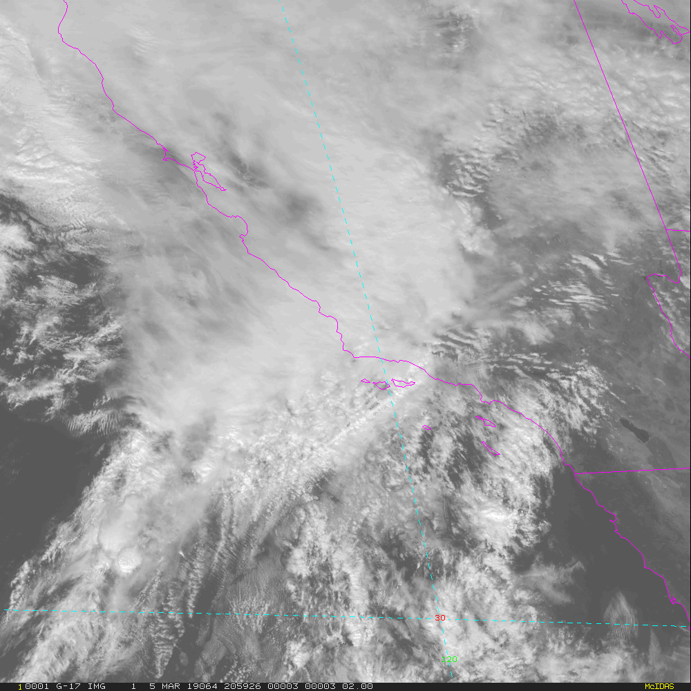
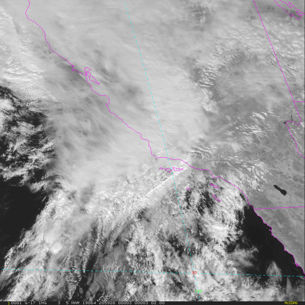
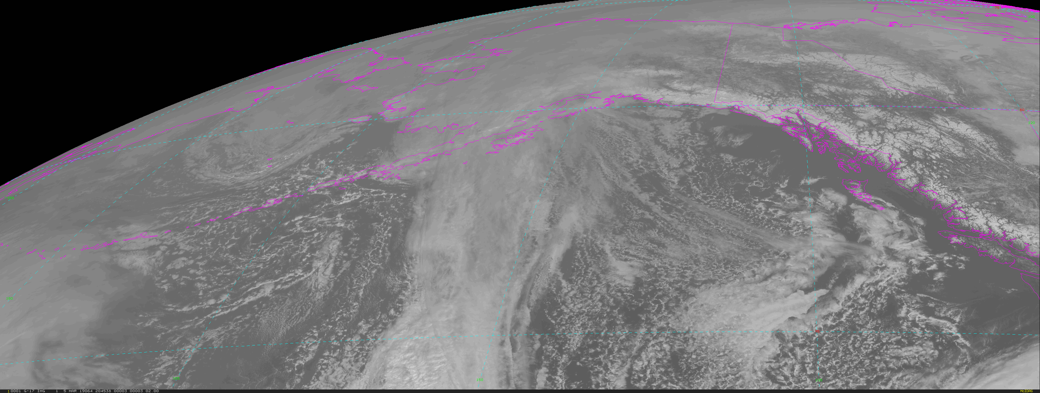
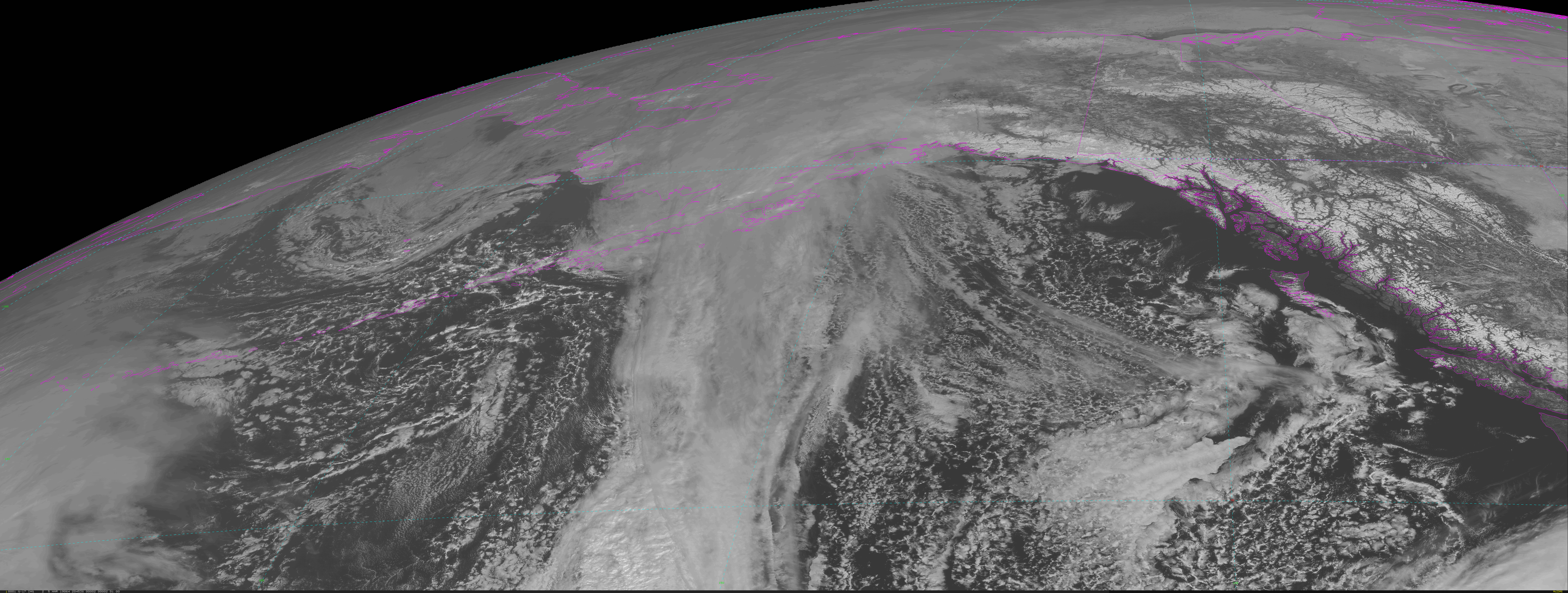
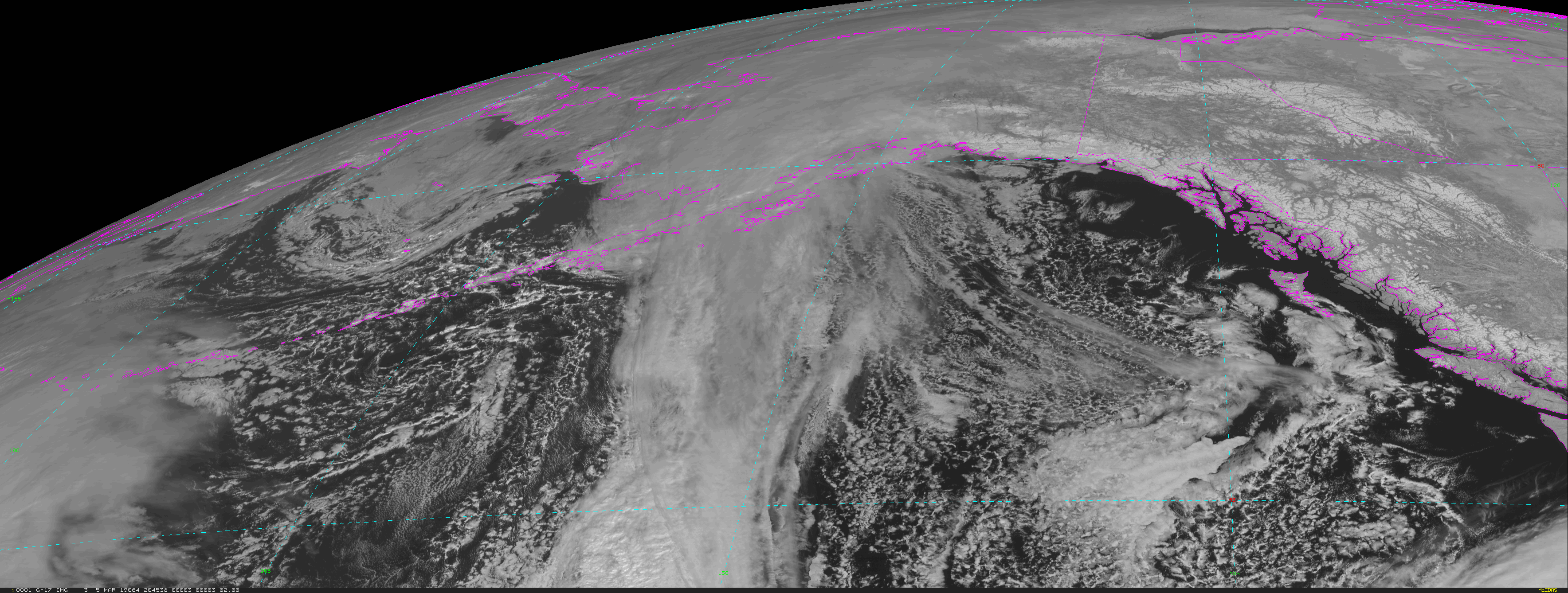
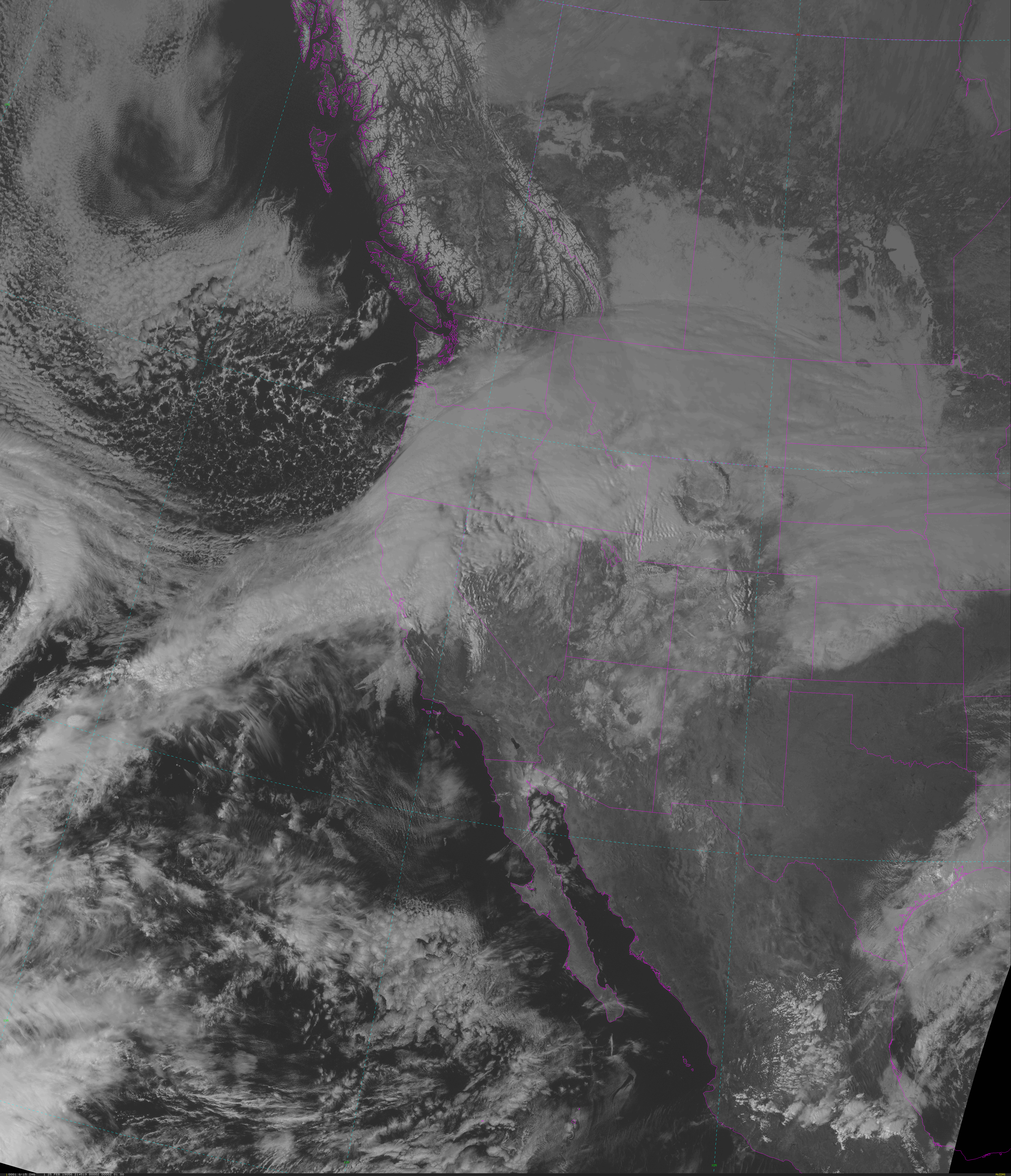
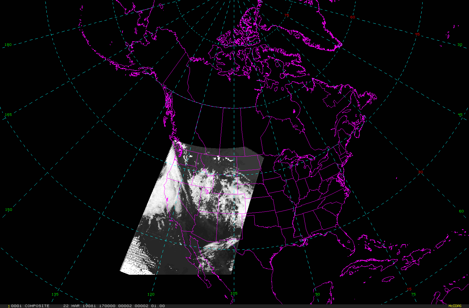
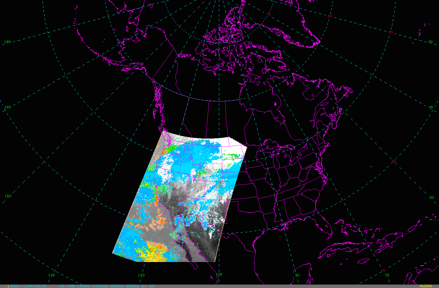
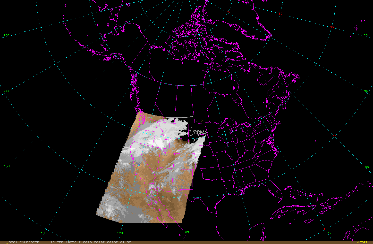
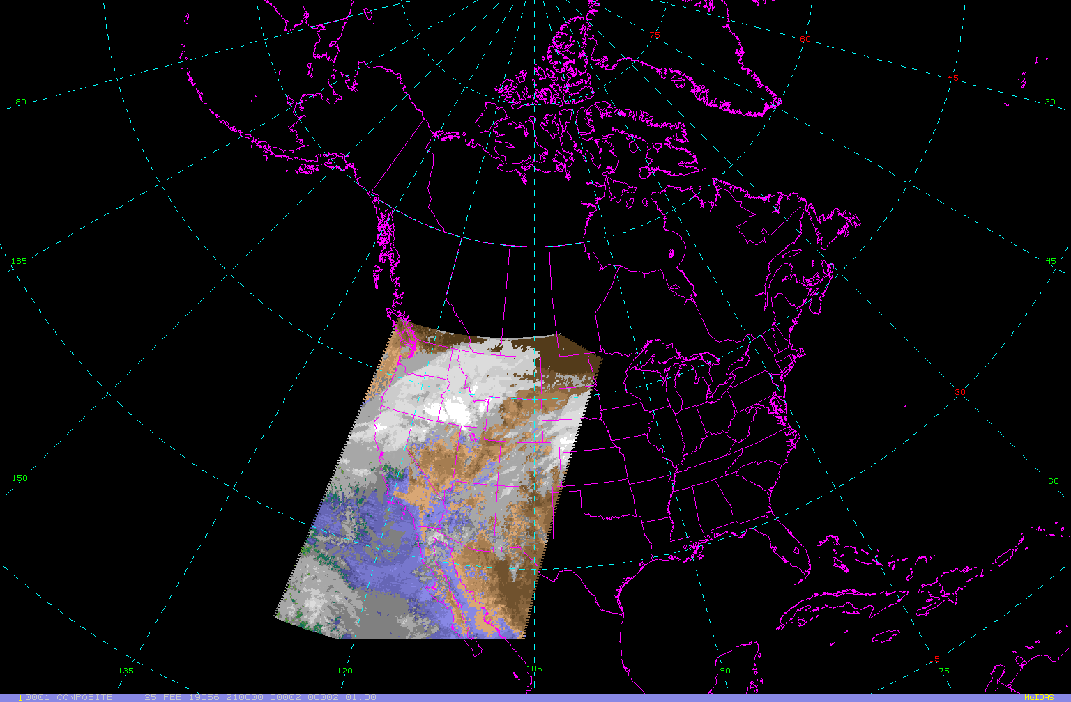
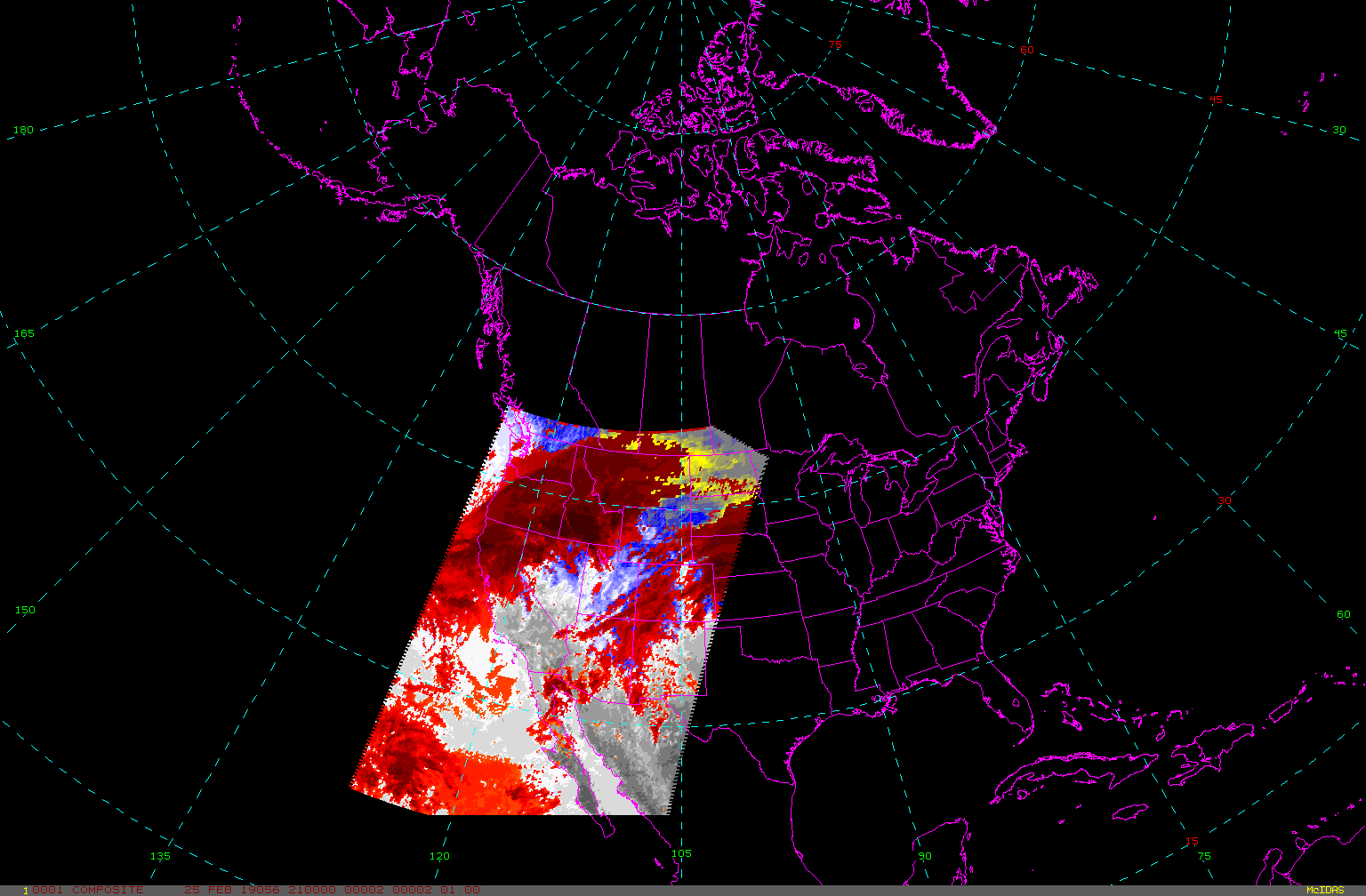
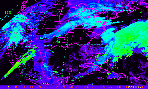
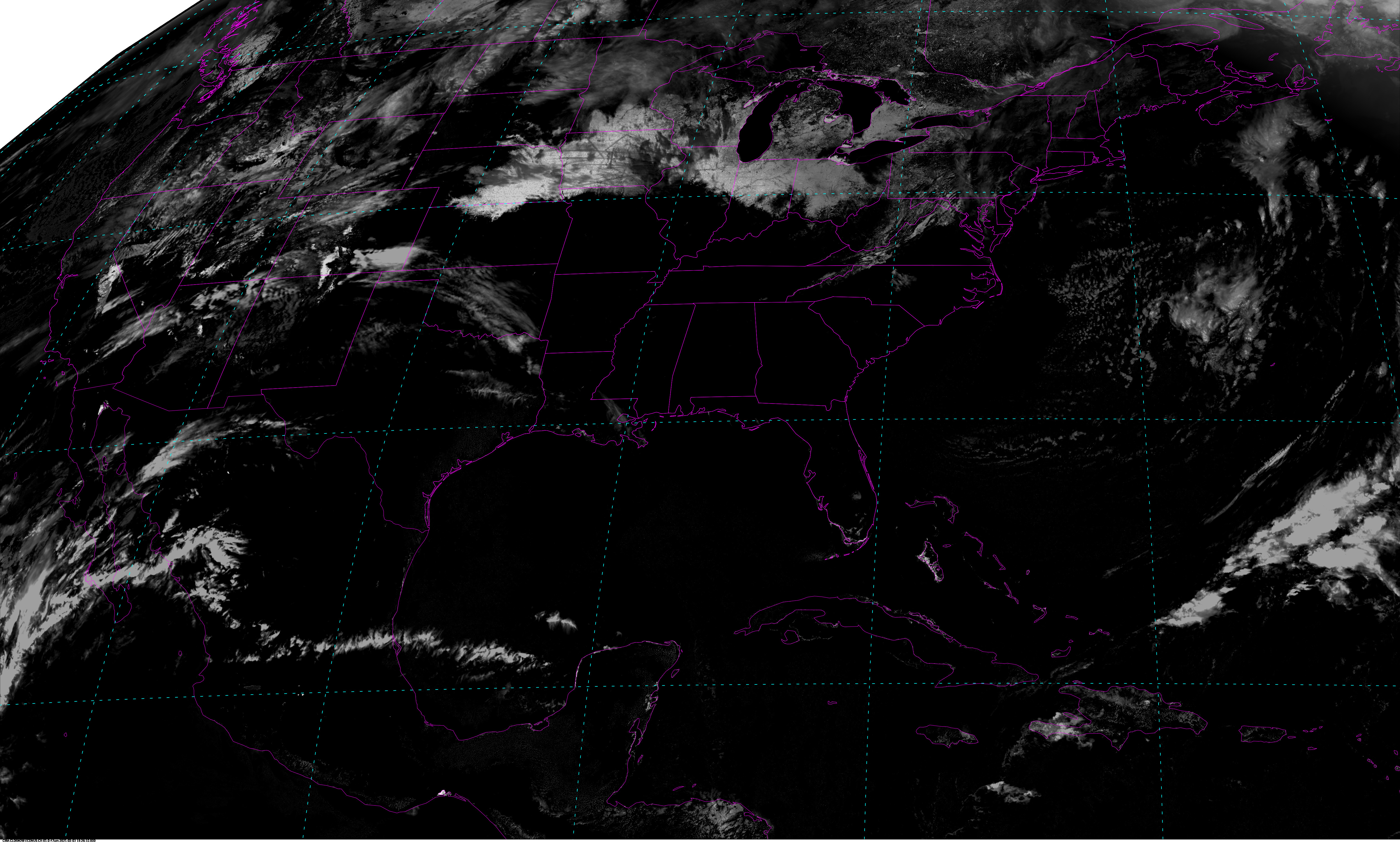
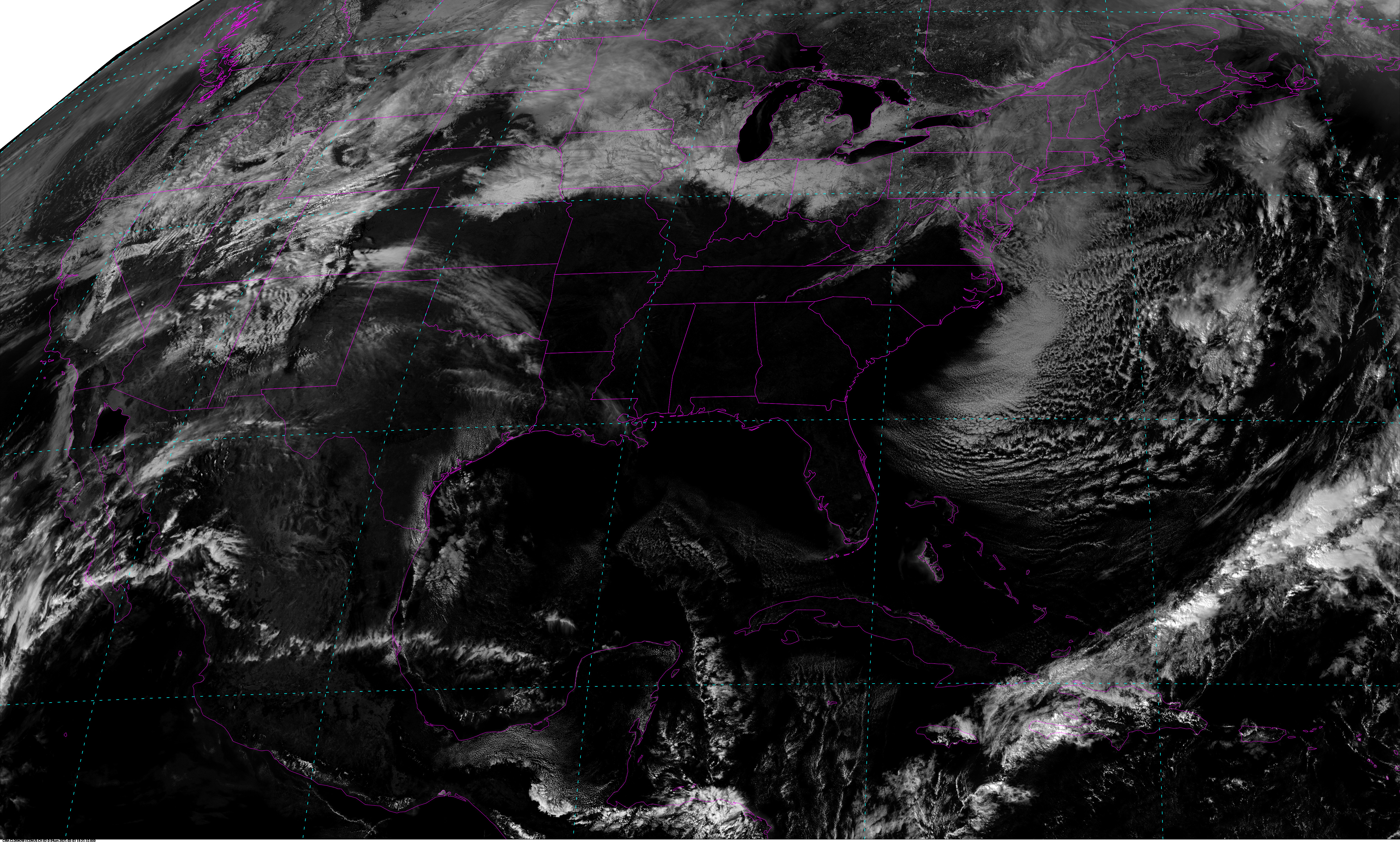
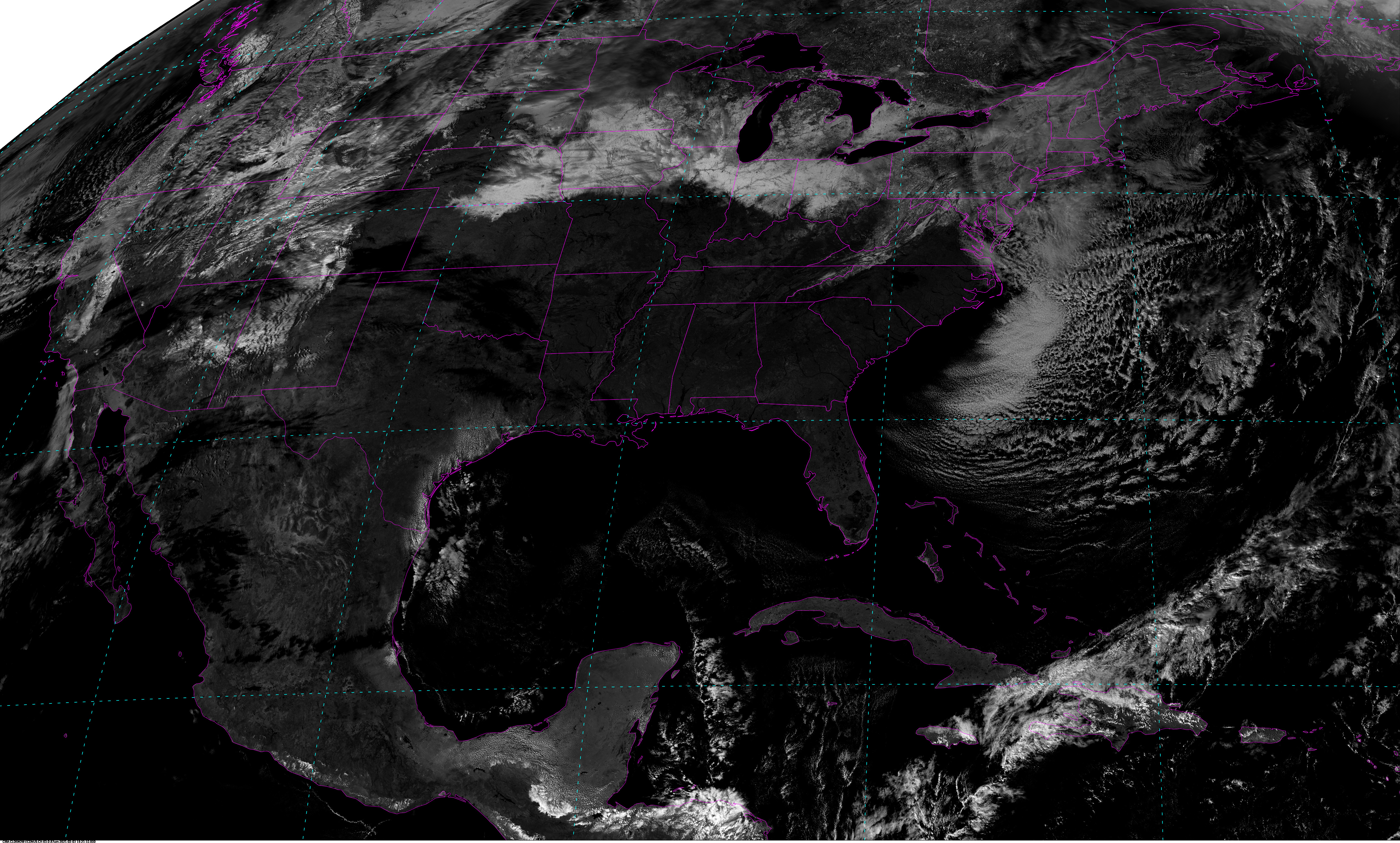
GOES-West CONUS - 5 minute Update Interval for Mode 3 or 6
NB: thumbnails are links to full resolution images which may be LARGE

Channel  Description                                  Central Lat, Lon  Resolution [km]   Size [Lines x Elements]
--------+--------------------------------------------+-----------------+-----------------+-----------------------
Band  1  0.47 um VIS aerosol-over-land                    30N, 137W           1.00              3000 x 5000
Band  2  0.64 um VIS clouds fog, insol, winds             30N, 137W           0.50              6000 x10000
Band  3  0.86 um Near IR veg/burn scar,aerosol, wind      30N, 137W           1.00              3000 x 5000
Band  4  1.37 um Near IR cirrus cloud                     30N, 137W           2.00              1500 x 2500
Band  5  1.61 um Near IR cloud phase, snow                30N, 137W           1.00              3000 x 5000
Band  6  2.24 um Near IR land/cloud, vege, snow           30N, 137W           2.00              1500 x 2500
Band  7  3.89 um IR Sfc, cloud, fog, fire, winds          30N, 137W           2.00              1500 x 2500
Band  8  6.17 um IR High-level WV, winds, rainfall        30N, 137W           2.00              1500 x 2500
Band  9  6.93 um IR Mid-level WV, winds, rainfall         30N, 137W           2.00              1500 x 2500
Band 10  7.34 um IR Lower-level WV, winds & SO2           30N, 137W           2.00              1500 x 2500
Band 11  8.44 um IR Total WV cloud phase, dust            30N, 137W           2.00              1500 x 2500
Band 12  9.61 um IR Total ozone,turbulence,wind           30N, 137W           2.00              1500 x 2500
Band 13  10.3 um IR Surface & cloud                       30N, 137W           2.00              1500 x 2500
Band 14  11.2 um IR Imagery,SST,clouds,rainfall           30N, 137W           2.00              1500 x 2500
Band 15  12.3 um IR Total water, ash, and SST             30N, 137W           2.00              1500 x 2500
Band 16  13.3 um IR Air temp, cloud height and amount     30N, 137W           2.00              1500 x 2500

Example LDM/IDD Product ID:
/data/ldm/pub/native/satellite/GOES/GOES17/CONUS/Products/CloudAndMoistureImagery/CONUS/Channel11/20190221/OR_ABI-L2-CMIPC-M6C11_G17_s20190521946190_e20190521946190_c20190521946190.nc
Example LDM configuration file REQUEST line:
REQUEST NIMAGE "CMIPC.*G16" upstream_IDD_relay

Example LDM pattern-action file action
Example LDM pattern-action file L2ProdFile.sh script
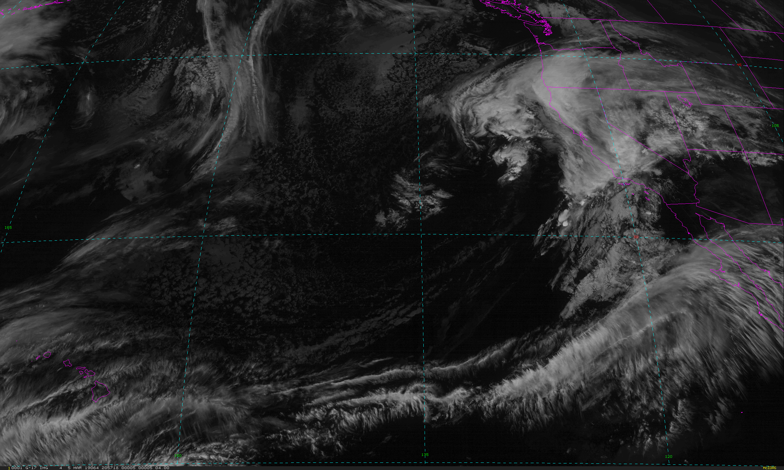
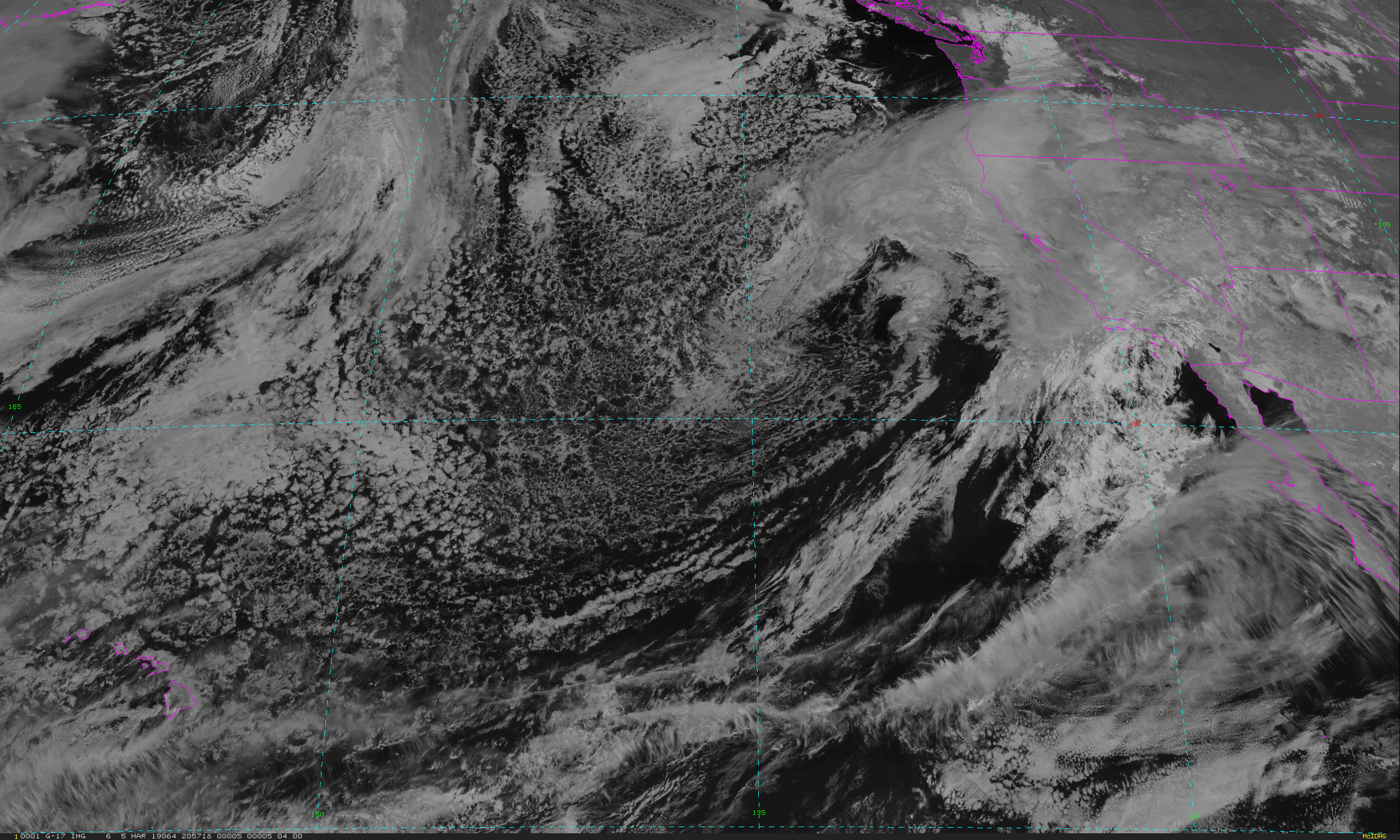
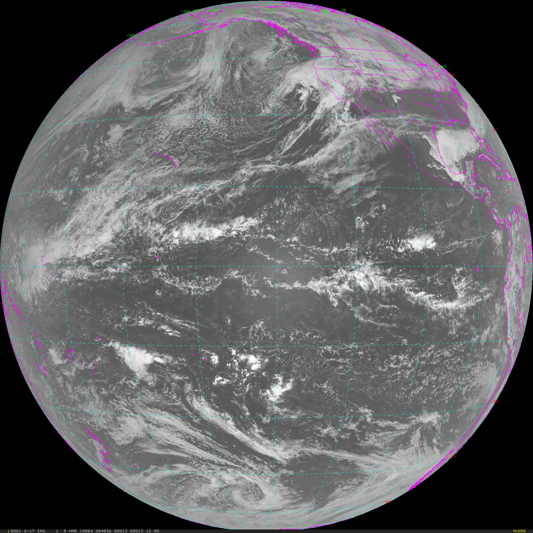
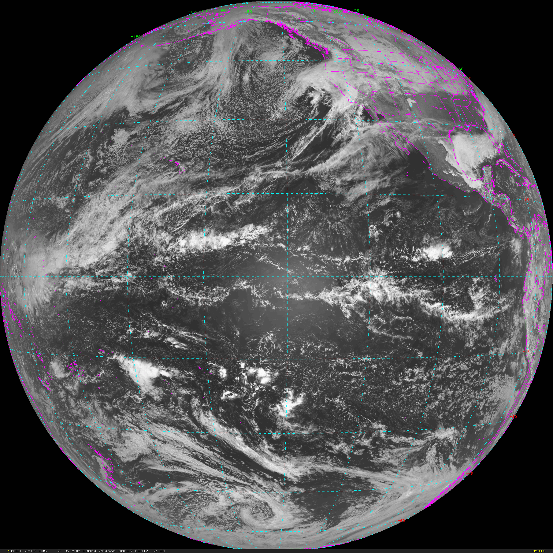
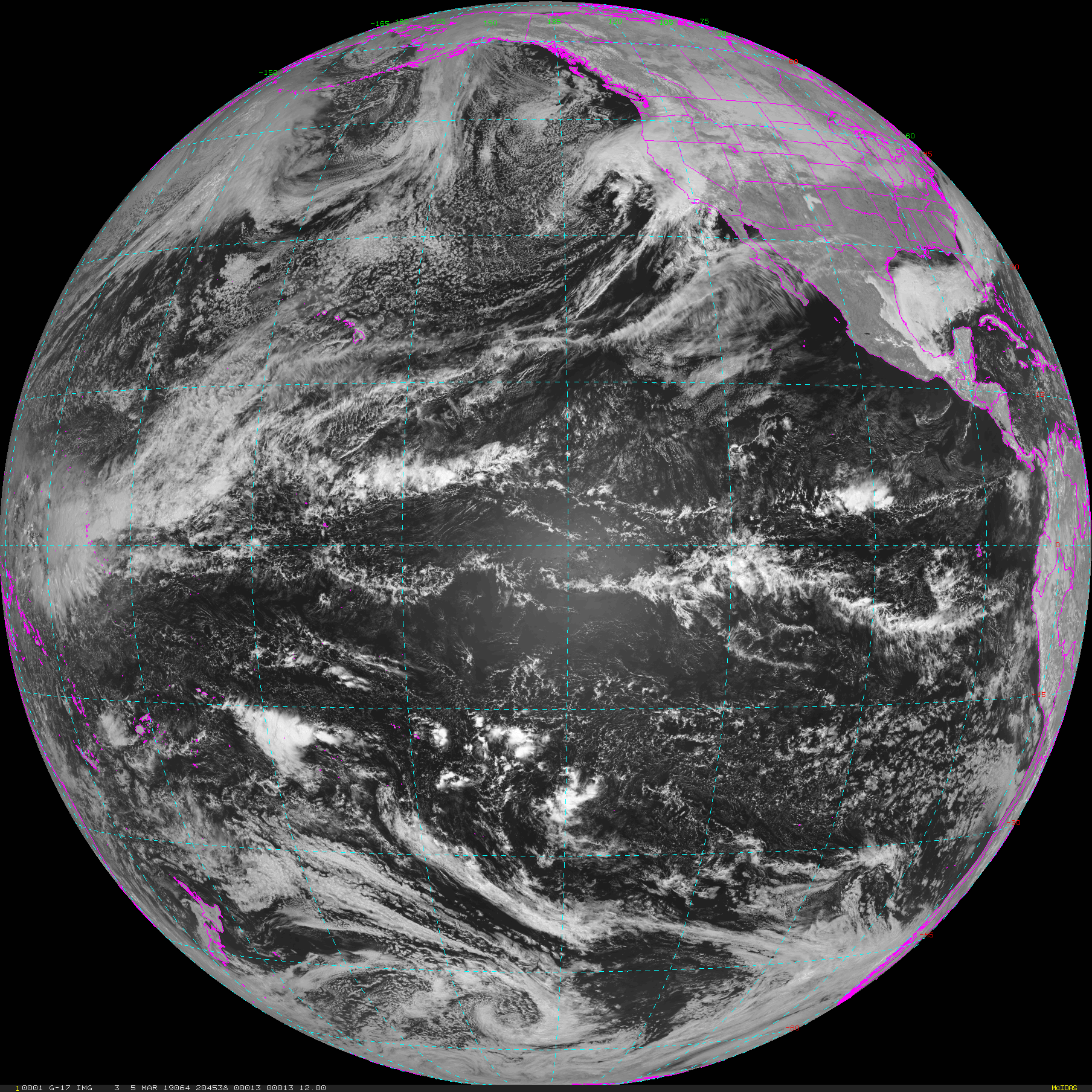
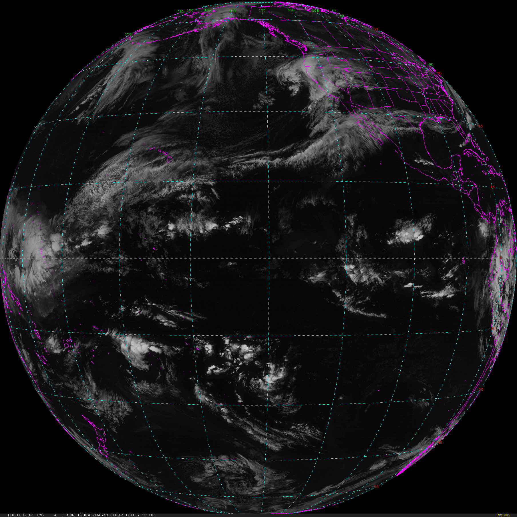
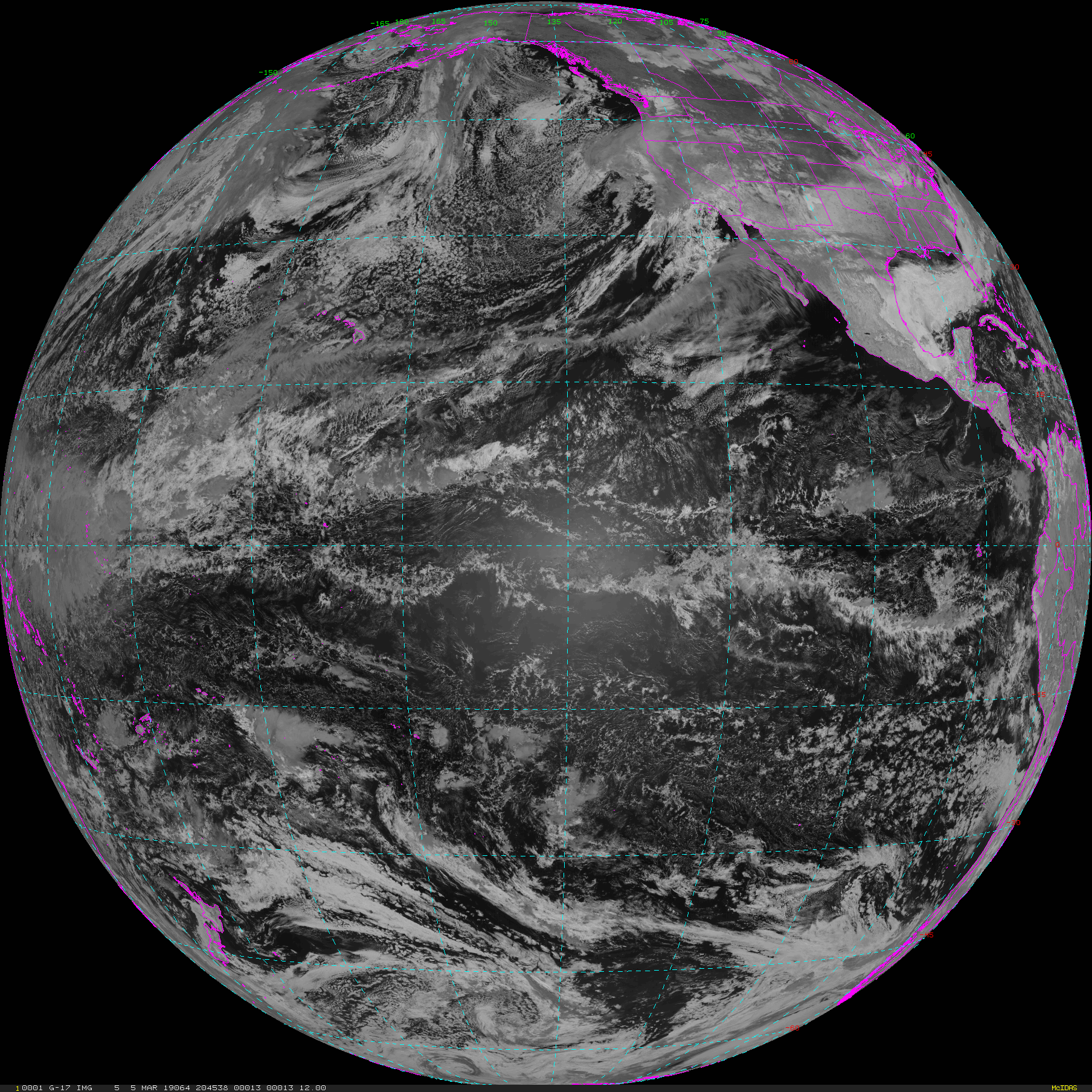
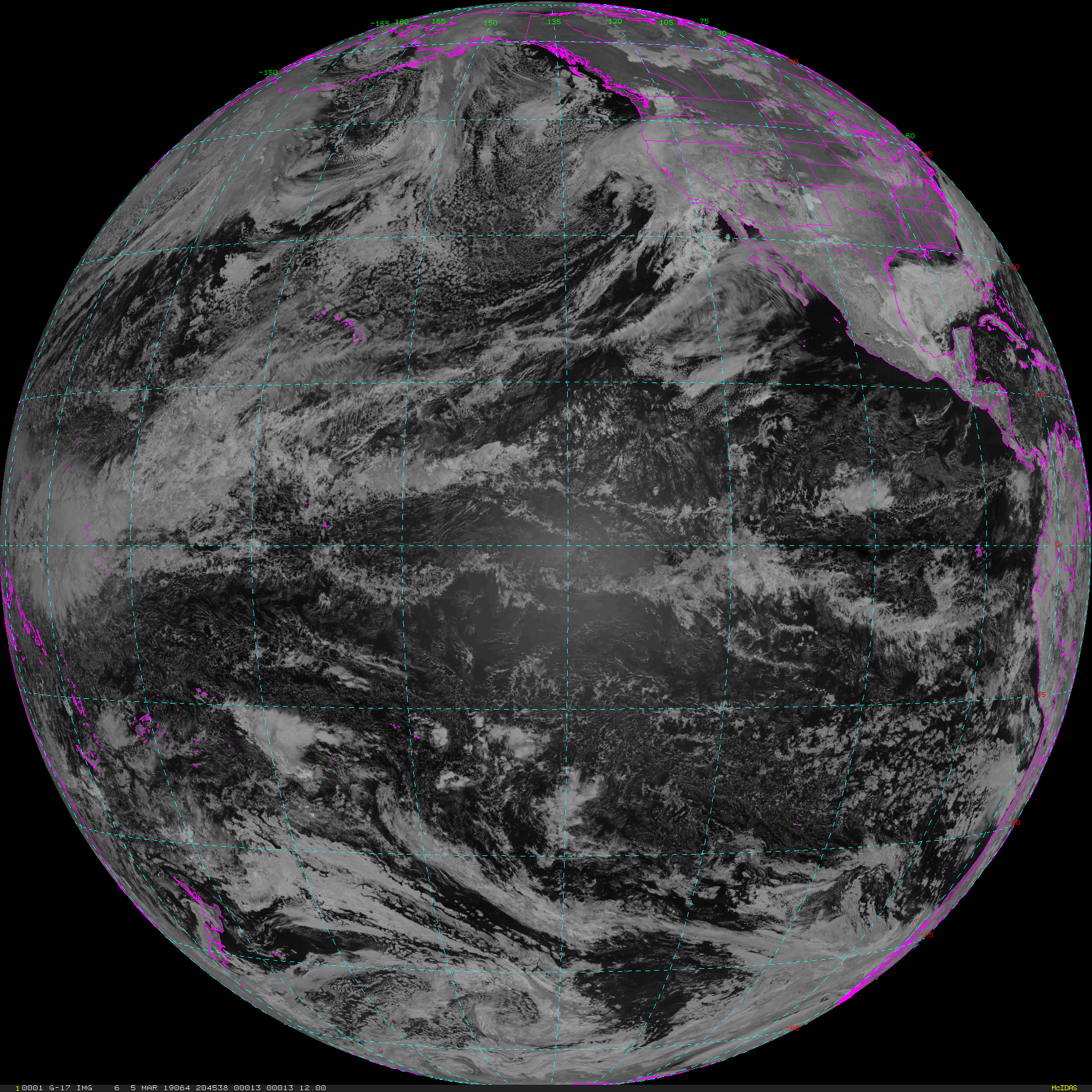
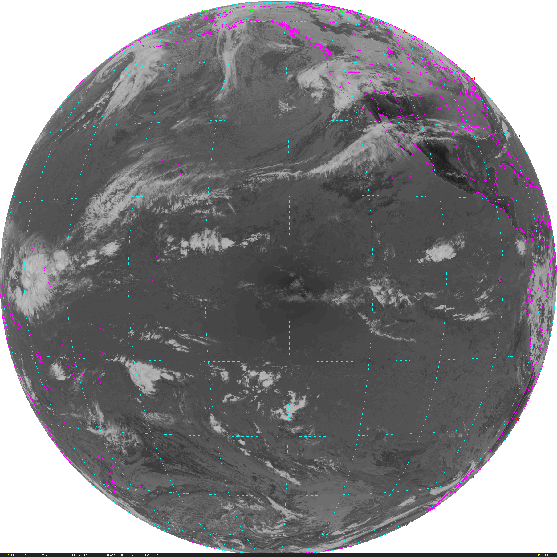
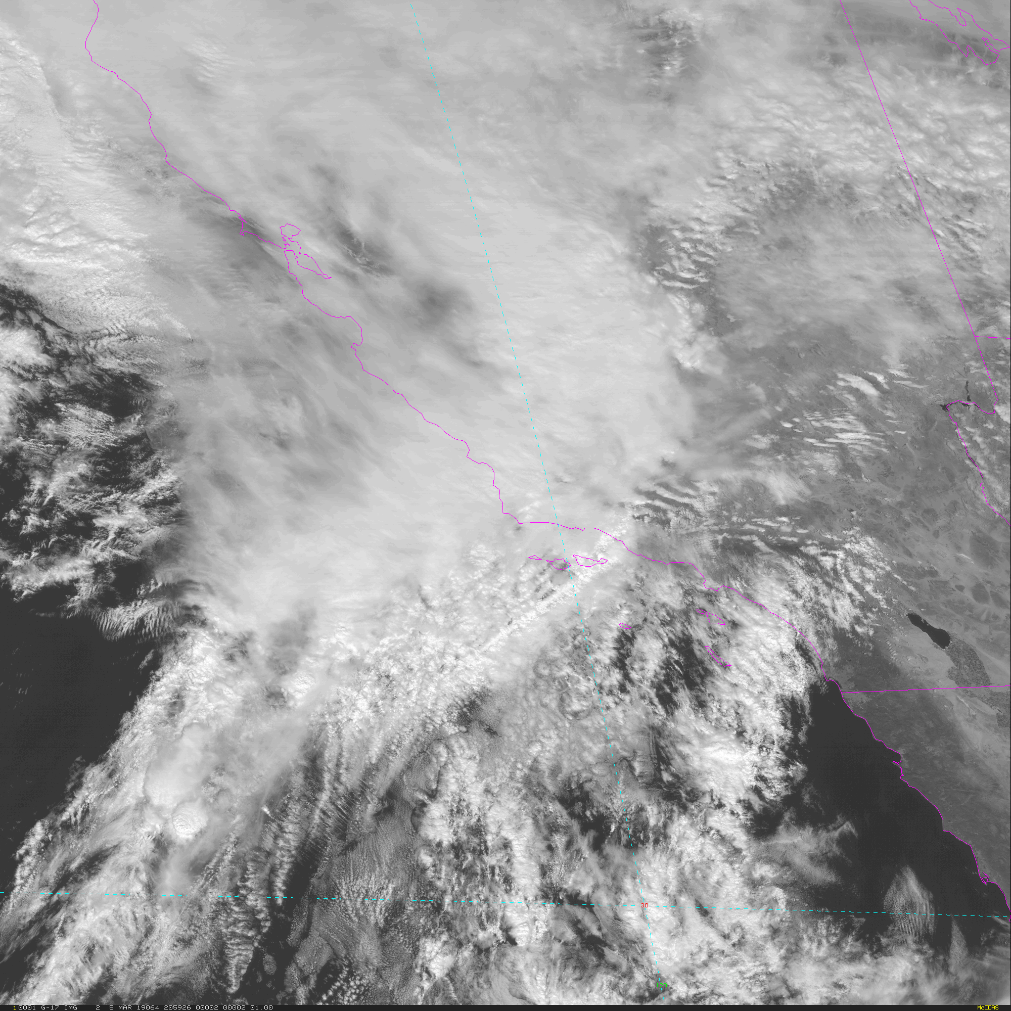
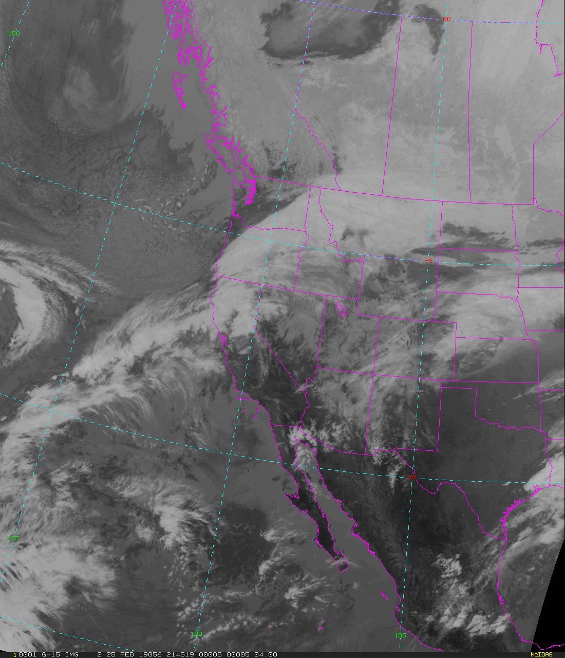
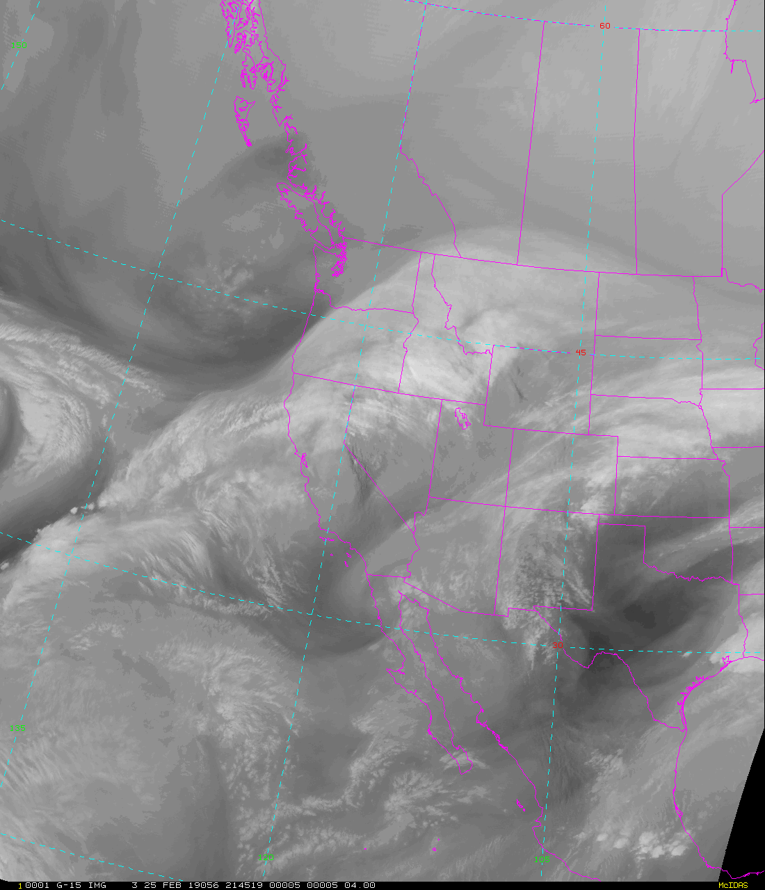
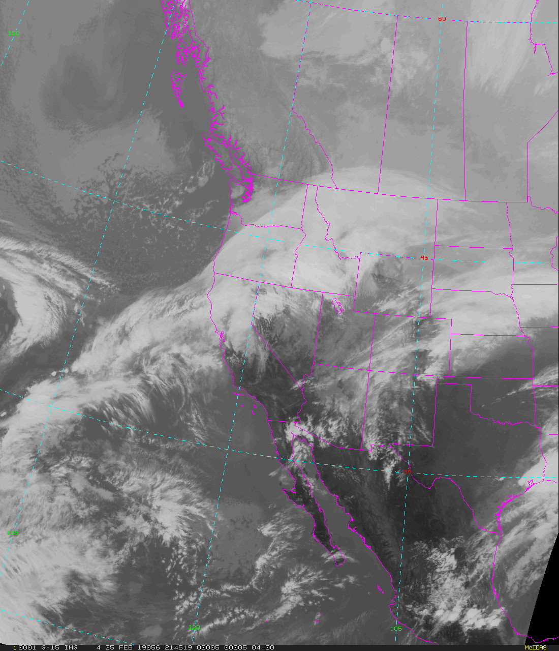
GOES-West Full Disk - 15 minute Update Interval Mode 3, 5 minute Update Interval Mode 4, 10 minute Update Interval Mode 6
NB: thumbnails are links to full resolution images which may be LARGE

Channel  Description                                  Central Lat, Lon  Resolution [km]   Size [Lines x Elements]
--------+--------------------------------------------+-----------------+-----------------+-----------------------
Band  1  0.47 um VIS aerosol-over-land                     0N, 137W           6.00              1808 x 1808
Band  2  0.64 um VIS clouds fog, insol, winds              0N, 137W           6.00              1808 x 1808
Band  3  0.86 um Near IR veg/burn scar,aerosol, wind       0N, 137W           6.00              1808 x 1808
Band  4  1.37 um Near IR cirrus cloud                      0N, 137W           6.00              1808 x 1808
Band  5  1.61 um Near IR cloud phase, snow                 0N, 137W           6.00              1808 x 1808
Band  6  2.24 um Near IR land/cloud, vege, snow            0N, 137W           6.00              1808 x 1808
Band  7  3.89 um IR Sfc, cloud, fog, fire, winds           0N, 137W           6.00              1808 x 1808
Band  8  6.17 um IR High-level WV, winds, rainfall         0N, 137W           6.00              1808 x 1808
Band  9  6.93 um IR Mid-level WV, winds, rainfall          0N, 137W           6.00              1808 x 1808
Band 10  7.34 um IR Lower-level WV, winds & SO2            0N, 137W           6.00              1808 x 1808
Band 11  8.44 um IR Total WV cloud phase, dust             0N, 137W           6.00              1808 x 1808
Band 12  9.61 um IR Total ozone,turbulence,wind            0N, 137W           6.00              1808 x 1808
Band 13  10.3 um IR Surface & cloud                        0N, 137W           6.00              1808 x 1808
Band 14  11.2 um IR Imagery,SST,clouds,rainfall            0N, 137W           6.00              1808 x 1808
Band 15  12.3 um IR Total water, ash, and SST              0N, 137W           6.00              1808 x 1808
Band 16  13.3 um IR Air temp, cloud height and amount      0N, 137W           6.00              1808 x 1808

Example LDM/IDD Product ID:
/data/ldm/pub/native/satellite/GOES/GOES17/Products/CloudAndMoistureImagery/FullDisk/Channel15/20190221/OR_ABI-L2-CMIPF-M6C15_G17_s20190521950340_e20190521950340_c20190521950340.nc
Example LDM configuration file REQUEST lines:
REQUEST NIMAGE "CMIPF.*G17" upstream_IDD_relay

Example LDM pattern-action file action
Example LDM pattern-action file L2ProdFile.sh script
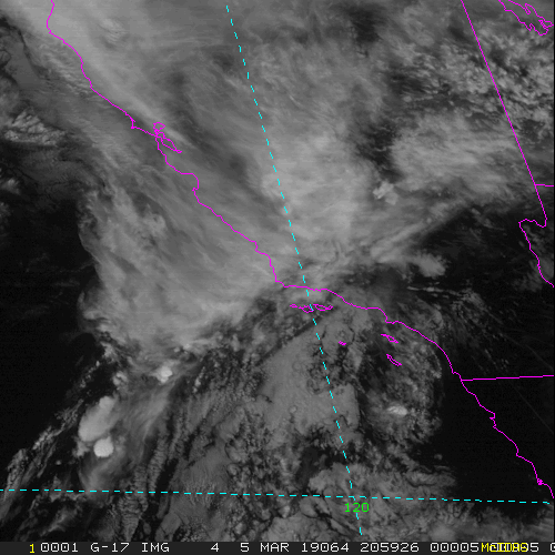
GOES-West Mesoscale-1 - 1 minute Update Interval if 2 Mesoscale Scans otherwise 30 seconds for Mode 3 or 6
NB: thumbnails are links to full resolution images

Channel  Description                                  Central Lat, Lon  Resolution [km]   Size [Lines x Elements]
--------+--------------------------------------------+-----------------+-----------------+-----------------------
Band  1  0.47 um VIS aerosol-over-land                     var, var           1.00              1000 x 1000
Band  2  0.64 um VIS clouds fog, insol, winds              var, var           0.50              2000 x 2000
Band  3  0.86 um Near IR veg/burn scar,aerosol, wind       var, var           1.00              1000 x 1000
Band  4  1.37 um Near IR cirrus cloud                      var, var           2.00               500 x  500
Band  5  1.61 um Near IR cloud phase, snow                 var, var           1.00              1000 x 1000
Band  6  2.24 um Near IR land/cloud, vege, snow            var, var           2.00               500 x  500
Band  7  3.89 um IR Sfc, cloud, fog, fire, winds           var, var           2.00               500 x  500
Band  8  6.17 um IR High-level WV, winds, rainfall         var, var           2.00               500 x  500
Band  9  6.93 um IR Mid-level WV, winds, rainfall          var, var           2.00               500 x  500
Band 10  7.34 um IR Lower-level WV, winds & SO2            var, var           2.00               500 x  500
Band 11  8.44 um IR Total WV cloud phase, dust             var, var           2.00               500 x  500
Band 12  9.61 um IR Total ozone,turbulence,wind            var, var           2.00               500 x  500
Band 13  10.3 um IR Surface & cloud                        var, var           2.00               500 x  500
Band 14  11.2 um IR Imagery,SST,clouds,rainfall            var, var           2.00               500 x  500
Band 15  12.3 um IR Total water, ash, and SST              var, var           2.00               500 x  500
Band 16  13.3 um IR Air temp, cloud height and amount      var, var           2.00               500 x  500

Example LDM/IDD Product ID:
/data/ldm/pub/native/satellite/GOES/GOES17/Products/CloudAndMoistureImagery/Mesoscale-1/Channel09/20190221/OR_ABI-L2-CMIPM1-M6C09_G17_s20190521959270_e20190521959270_c20190521959270.nc
Example LDM configuration file REQUEST line:
REQUEST SATELLITE "CMIPM1.*G17" upstream_IDD_relay

Example LDM pattern-action file action
Example LDM pattern-action file L2ProdFile.sh script
GOES-West Mesoscale-2 - 1 minute Update Interval if 2 Mesoscale Scans otherwise 30 seconds for Mode 3 or 6
NB: thumbnails are links to full resolution images

Channel  Description                                  Central Lat, Lon  Resolution [km]   Size [Lines x Elements]
--------+--------------------------------------------+-----------------+-----------------+-----------------------
Band  1  0.47 um VIS aerosol-over-land                     var, var           1.00              1000 x 1000
Band  2  0.64 um VIS clouds fog, insol, winds              var, var           0.50              2000 x 2000
Band  3  0.86 um Near IR veg/burn scar,aerosol, wind       var, var           1.00              1000 x 1000
Band  4  1.37 um Near IR cirrus cloud                      var, var           2.00               500 x  500
Band  5  1.61 um Near IR cloud phase, snow                 var, var           1.00              1000 x 1000
Band  6  2.24 um Near IR land/cloud, vege, snow            var, var           2.00               500 x  500
Band  7  3.89 um IR Sfc, cloud, fog, fire, winds           var, var           2.00               500 x  500
Band  8  6.17 um IR High-level WV, winds, rainfall         var, var           2.00               500 x  500
Band  9  6.93 um IR Mid-level WV, winds, rainfall          var, var           2.00               500 x  500
Band 10  7.34 um IR Lower-level WV, winds & SO2            var, var           2.00               500 x  500
Band 11  8.44 um IR Total WV cloud phase, dust             var, var           2.00               500 x  500
Band 12  9.61 um IR Total ozone,turbulence,wind            var, var           2.00               500 x  500
Band 13  10.3 um IR Surface & cloud                        var, var           2.00               500 x  500
Band 14  11.2 um IR Imagery,SST,clouds,rainfall            var, var           2.00               500 x  500
Band 15  12.3 um IR Total water, ash, and SST              var, var           2.00               500 x  500
Band 16  13.3 um IR Air temp, cloud height and amount      var, var           2.00               500 x  500

Example LDM/IDD Product ID:
/data/ldm/pub/native/satellite/GOES/GOES17/Products/CloudAndMoistureImagery/Mesoscale-2/Channel09/20190221/OR_ABI-L2-CMIPM2-M6C09_G17_s20190522011570_e20190522011570_c20190522011570.nc
Example LDM configuration file REQUEST line:
REQUEST NIMAGE "CMIPM2.*G17" upstream_IDD_relay

Example LDM pattern-action file action
Example LDM pattern-action file L2ProdFile.sh script
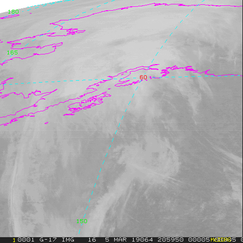
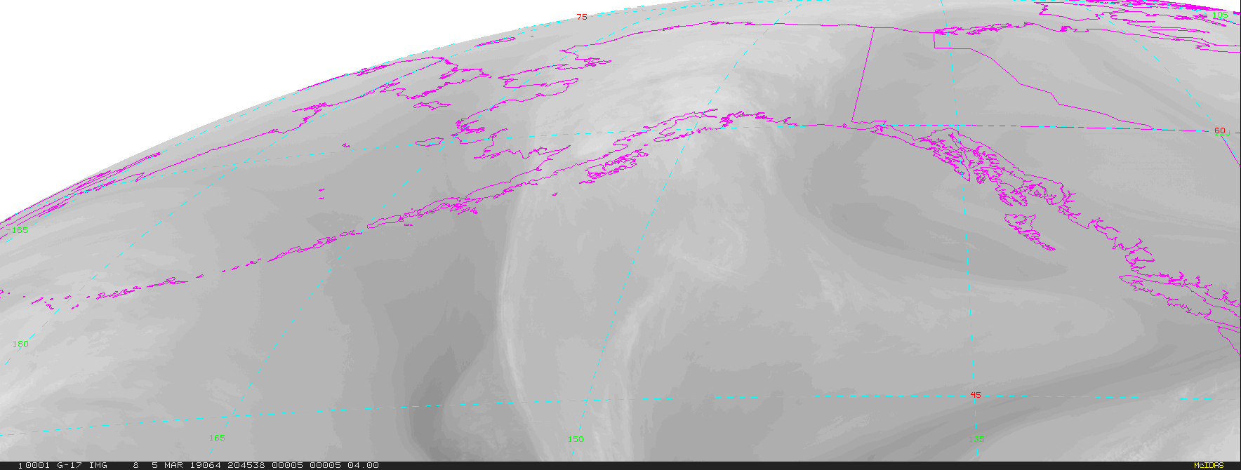
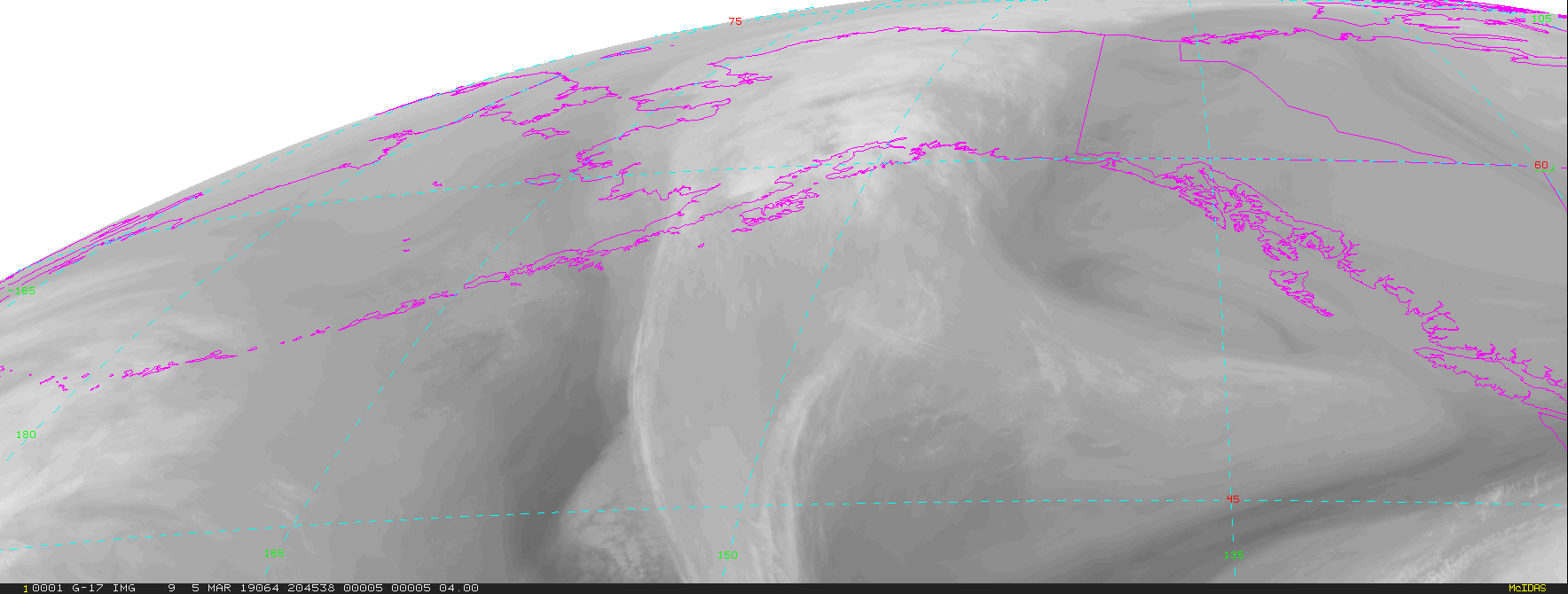
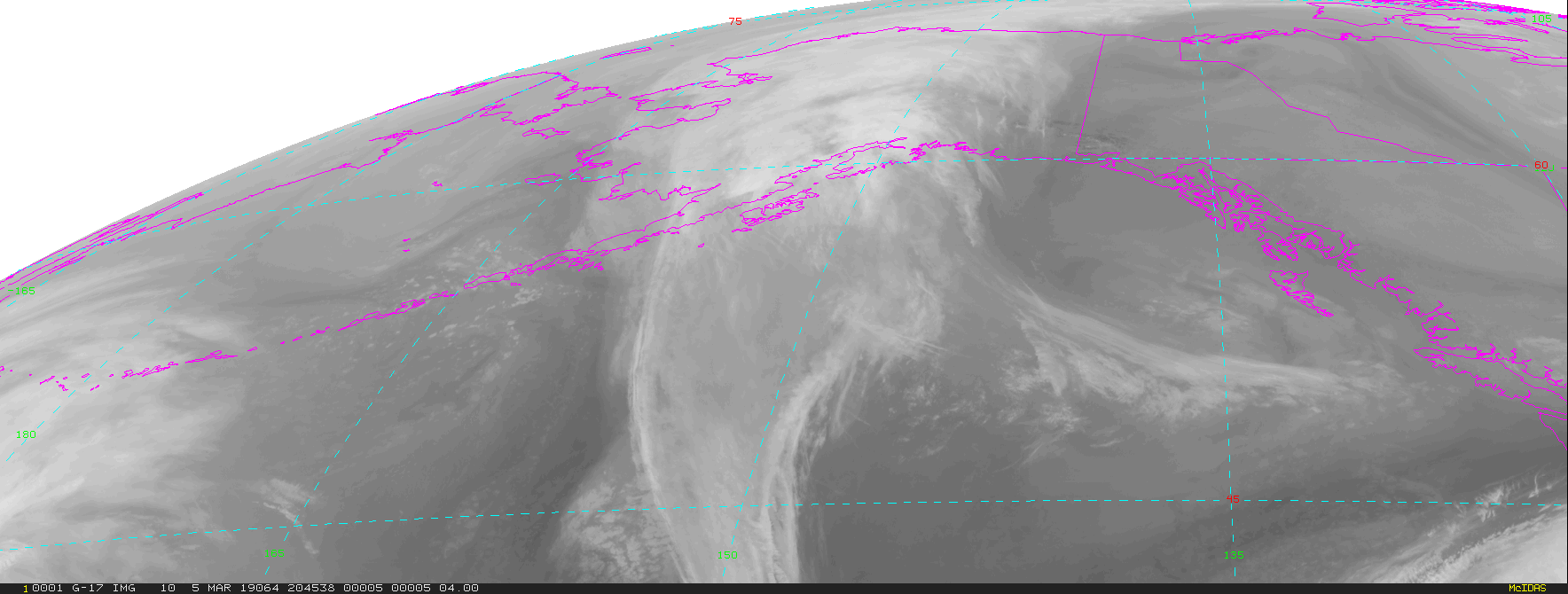
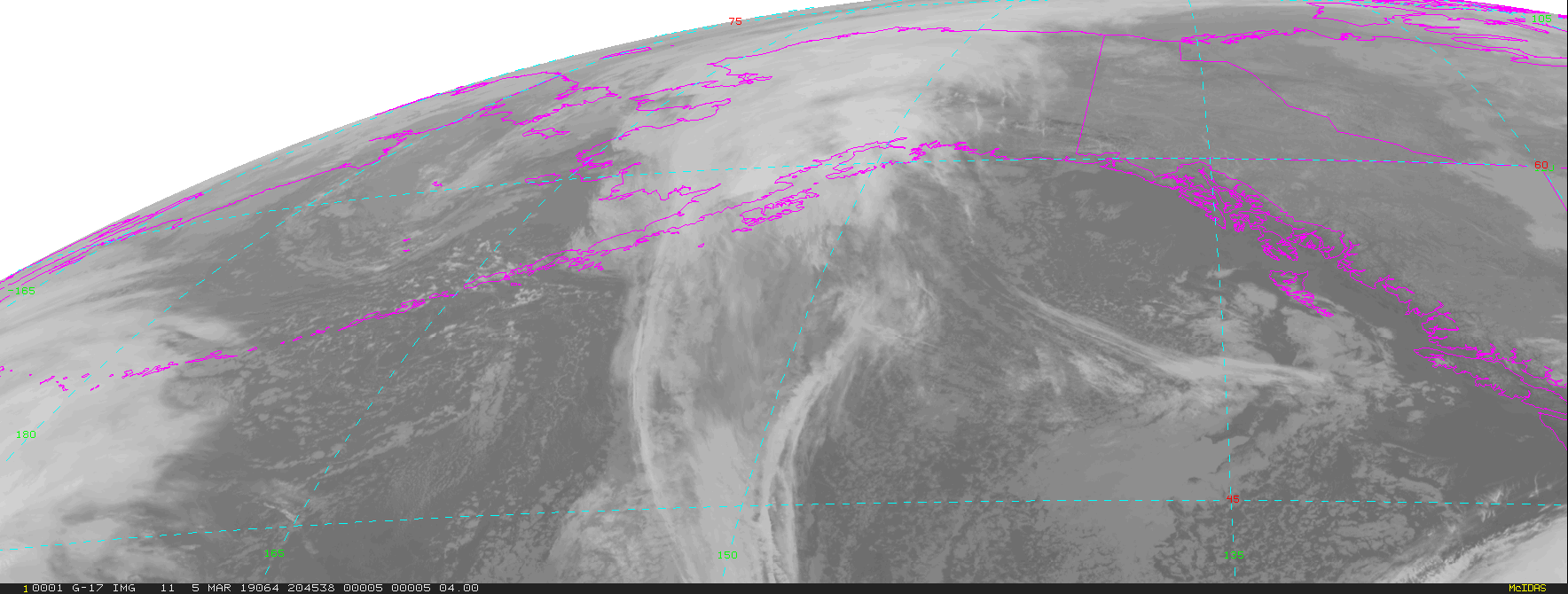
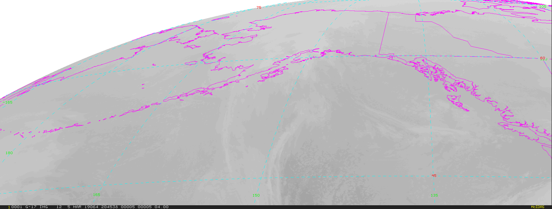
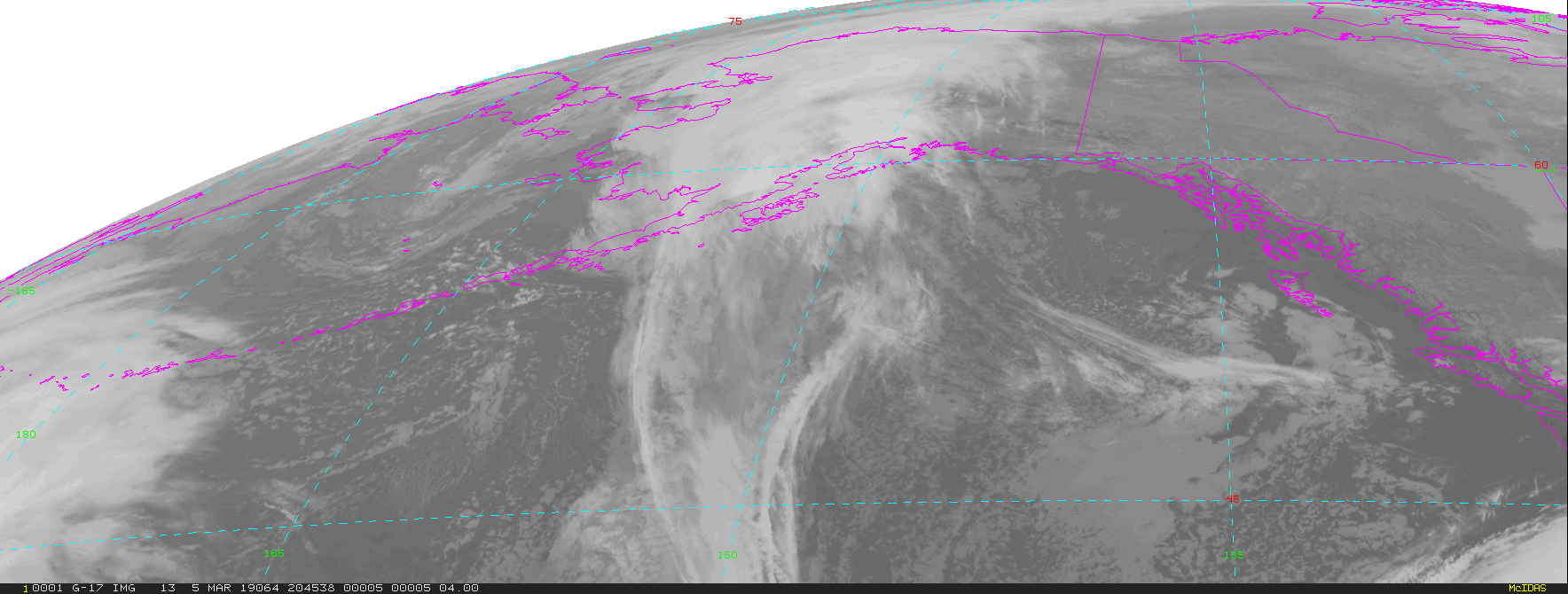
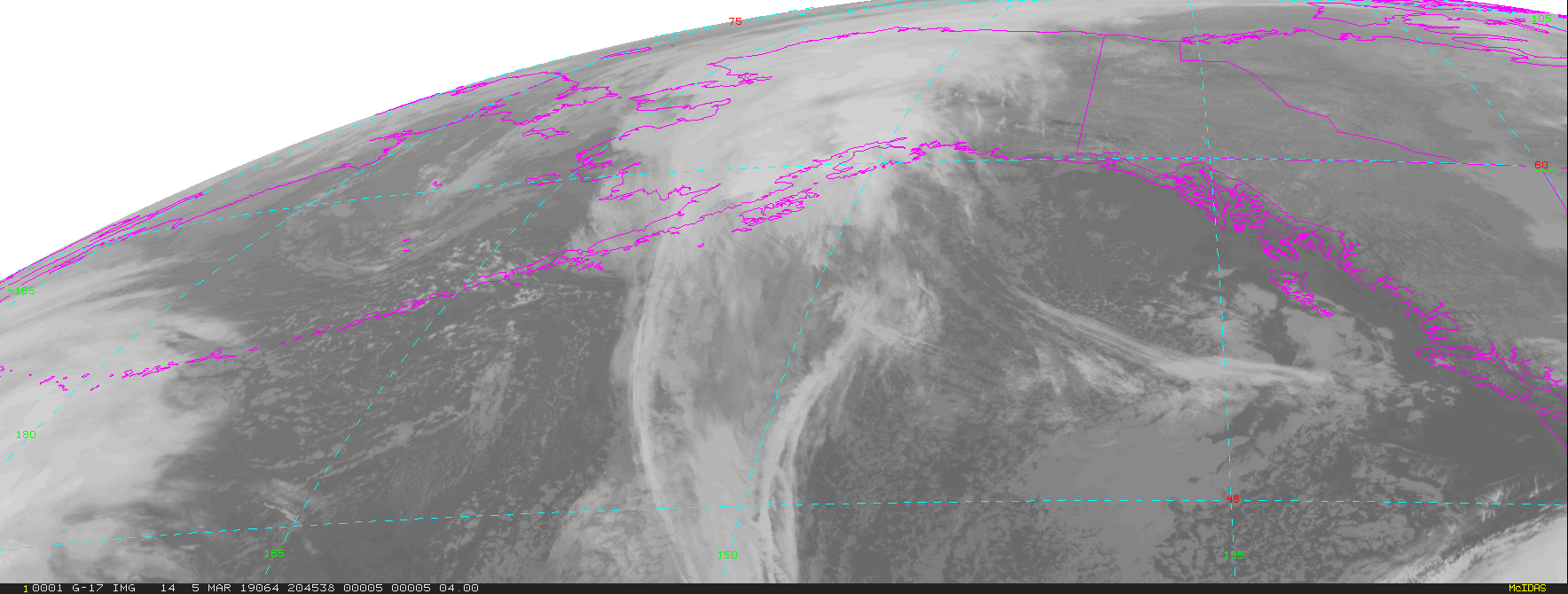
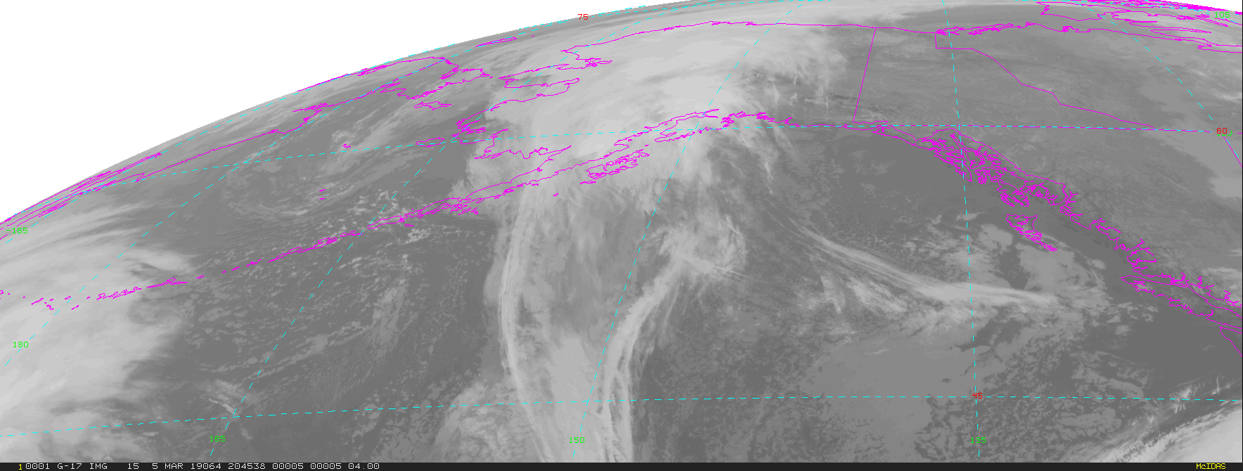
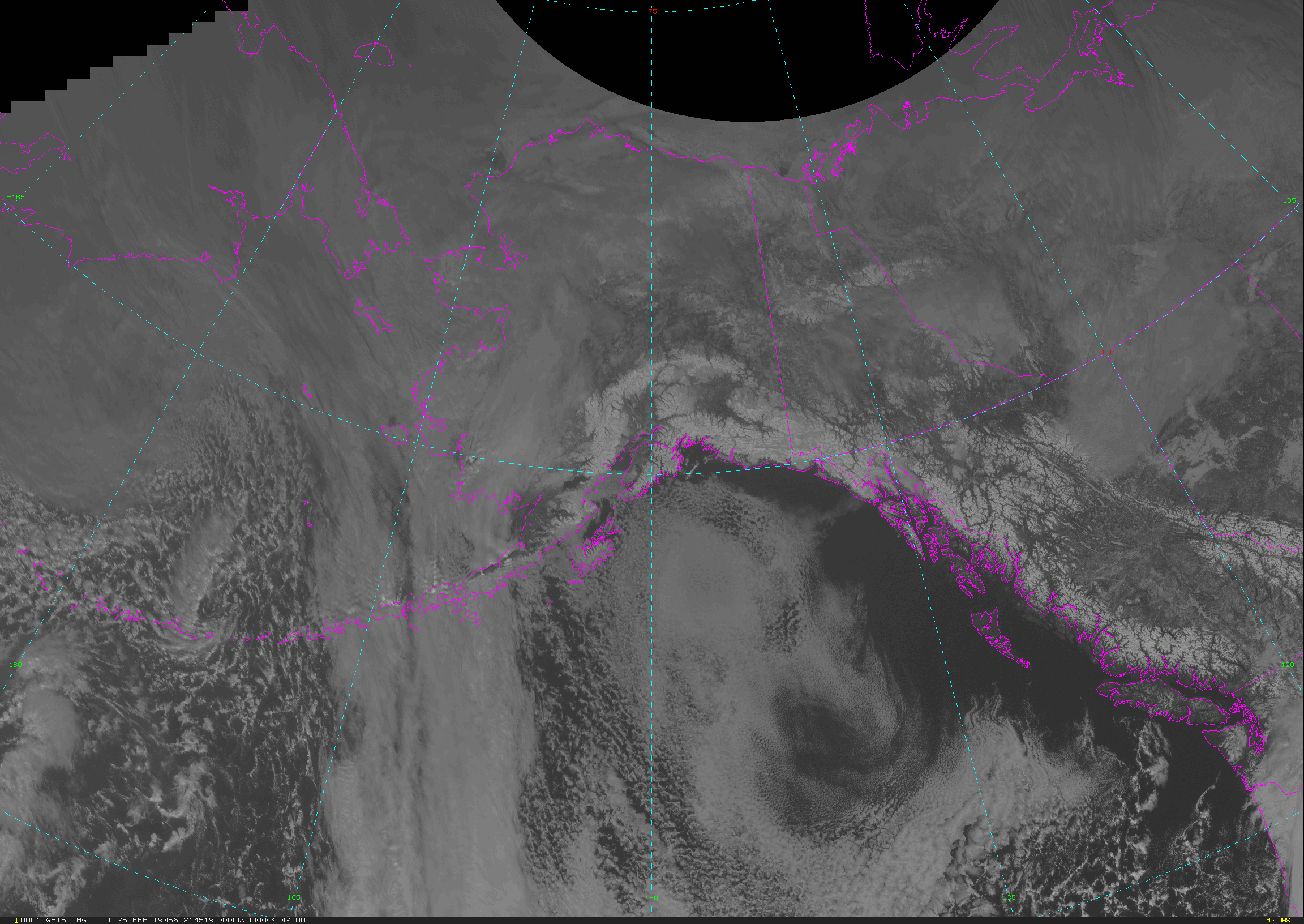
GOES-West Alaska Regional - 15 minute Update Interval Mode 3, 5 minute Update Interval Mode 4, 10 minute Update Interval Mode 6
NB: thumbnails are links to full resolution images

Channel  Description                                  Central Lat, Lon  Resolution [km]   Size [Lines x Elements]
--------+--------------------------------------------+-----------------+-----------------+-----------------------
Band  1  0.47 um VIS aerosol-over-land                     53N, 151W           1.00              1000 x 1000
Band  2  0.64 um VIS clouds fog, insol, winds              53N, 151W           0.50              2000 x 2000
Band  3  0.86 um Near IR veg/burn scar,aerosol, wind       53N, 151W           1.00              1000 x 1000
Band  4  1.37 um Near IR cirrus cloud                      53N, 151W           2.00               500 x  500
Band  5  1.61 um Near IR cloud phase, snow                 53N, 151W           1.00              1000 x 1000
Band  6  2.24 um Near IR land/cloud, vege, snow            53N, 151W           2.00               500 x  500
Band  7  3.89 um IR Sfc, cloud, fog, fire, winds           53N, 151W           2.00               500 x  500
Band  8  6.17 um IR High-level WV, winds, rainfall         53N, 151W           2.00               500 x  500
Band  9  6.93 um IR Mid-level WV, winds, rainfall          53N, 151W           2.00               500 x  500
Band 10  7.34 um IR Lower-level WV, winds & SO2            53N, 151W           2.00               500 x  500
Band 11  8.44 um IR Total WV cloud phase, dust             53N, 151W           2.00               500 x  500
Band 12  9.61 um IR Total ozone,turbulence,wind            53N, 151W           2.00               500 x  500
Band 13  10.3 um IR Surface & cloud                        53N, 151W           2.00               500 x  500
Band 14  11.2 um IR Imagery,SST,clouds,rainfall            53N, 151W           2.00               500 x  500
Band 15  12.3 um IR Total water, ash, and SST              53N, 151W           2.00               500 x  500
Band 16  13.3 um IR Air temp, cloud height and amount      53N, 151W           2.00               500 x  500

Example LDM/IDD Product ID:
/data/ldm/pub/native/satellite/GOES/GOES17/Products/CloudAndMoistureImagery/Alaska/Channel02/20190221/OR_ABI-L2-CMIPAK-M3C02_G17_s20190522011510_e20190522011510_c20190522011510.nc
Example LDM configuration file REQUEST line:
REQUEST NIMAGE "CMIPAK.*G17" upstream_IDD_relay

Example LDM pattern-action file action
Example LDM pattern-action file L2ProdFile.sh script
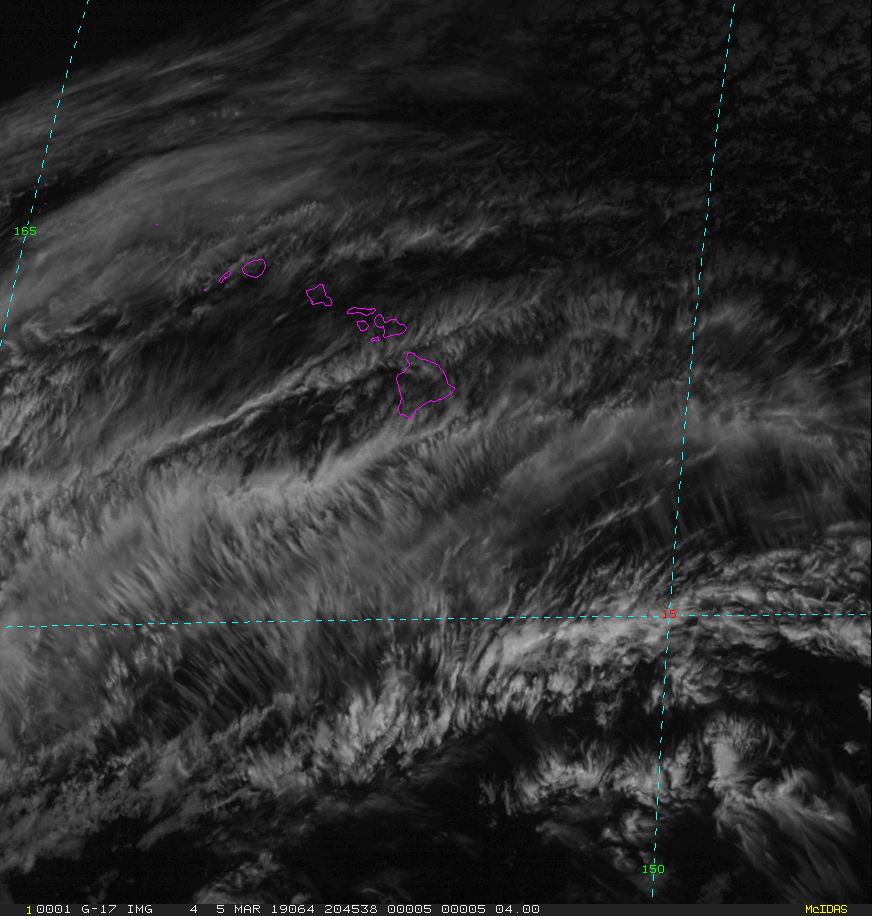
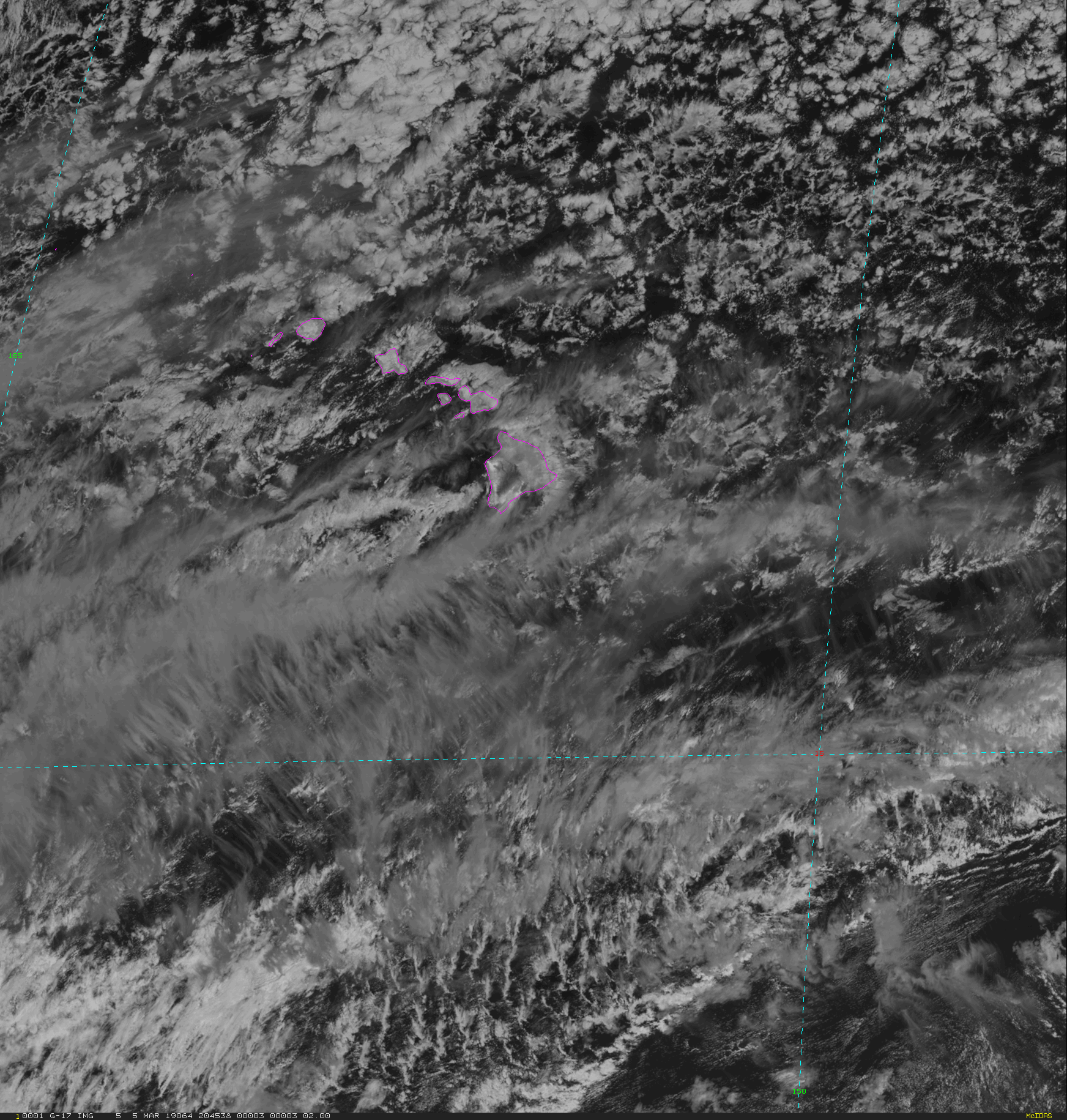
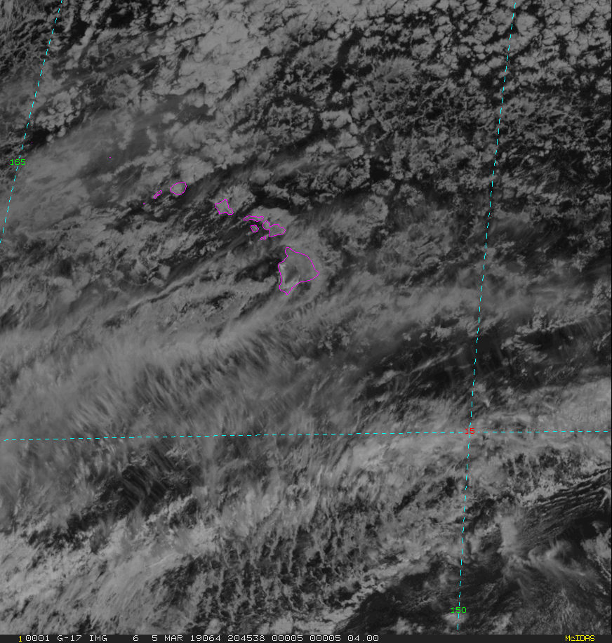
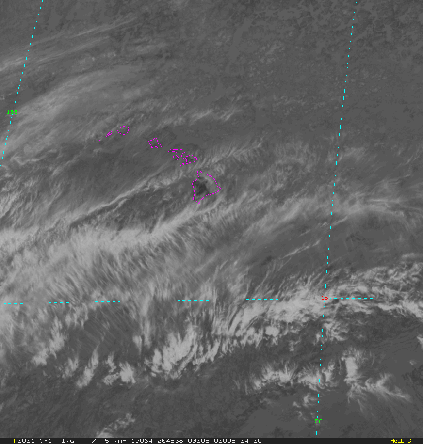
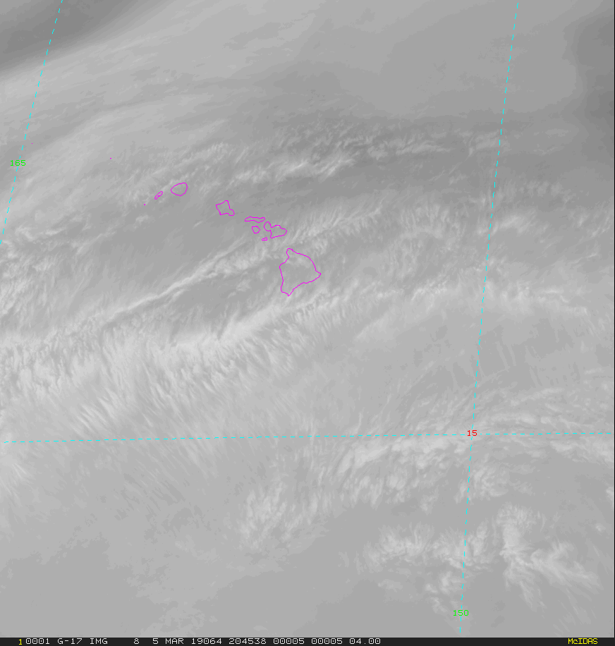
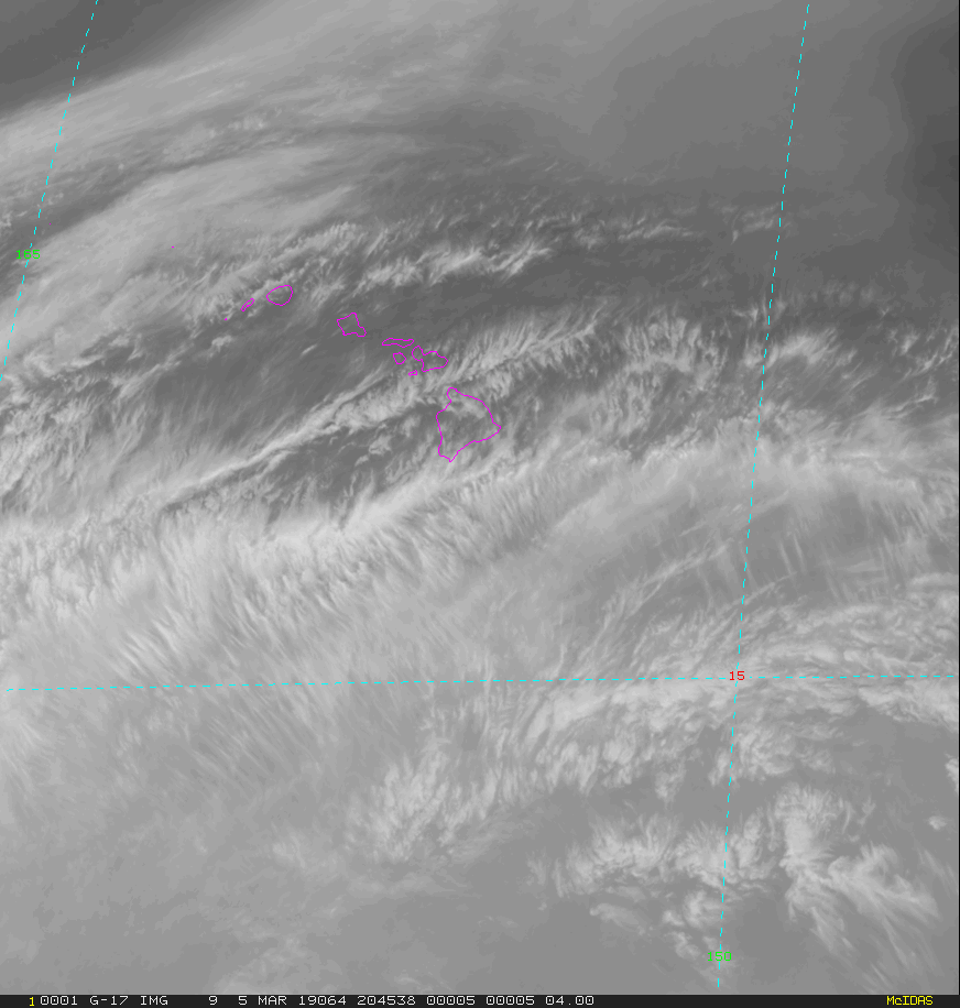
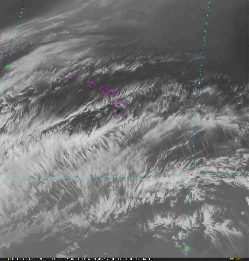
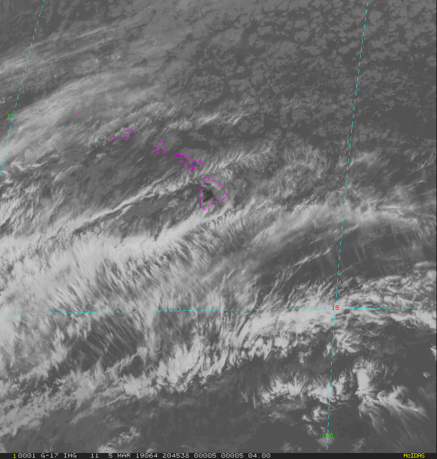
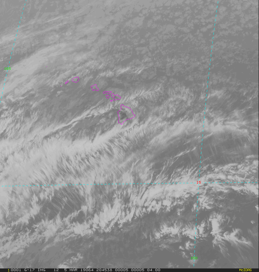
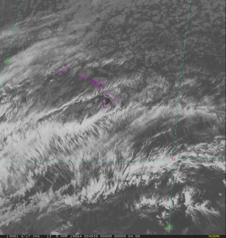
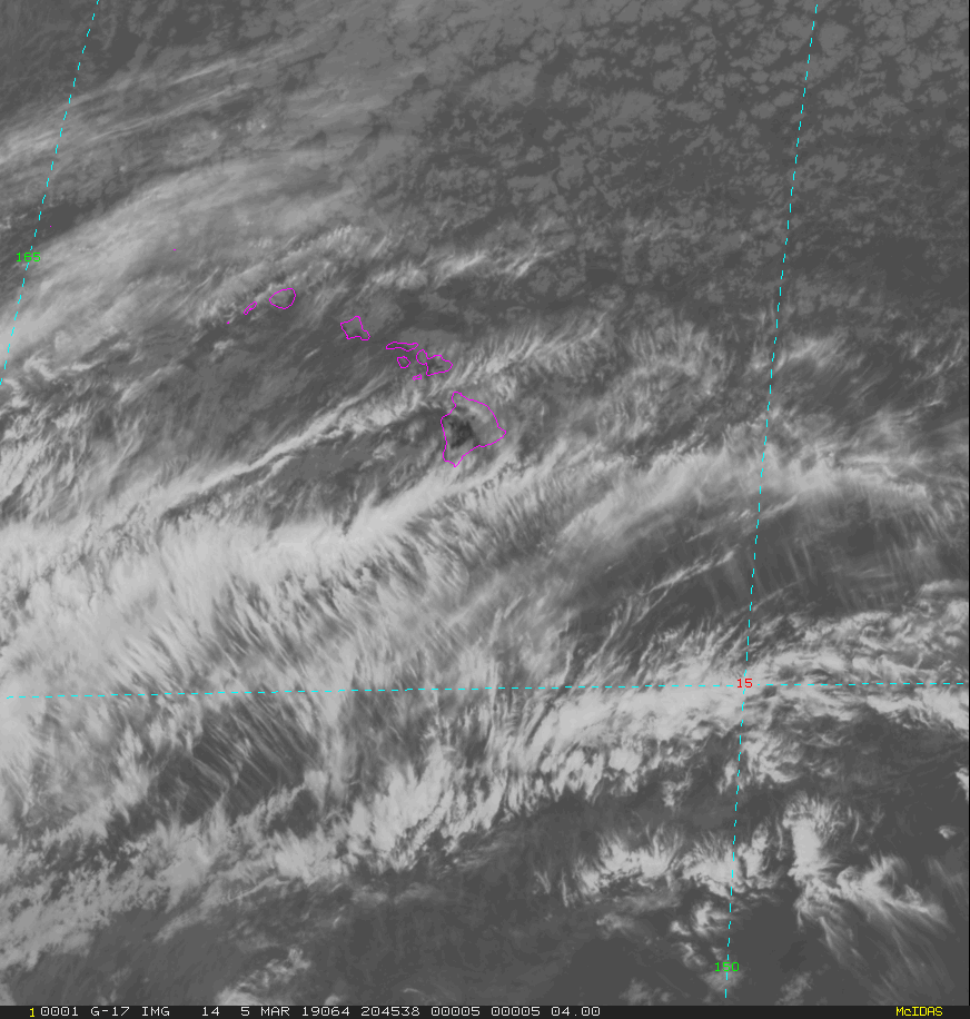
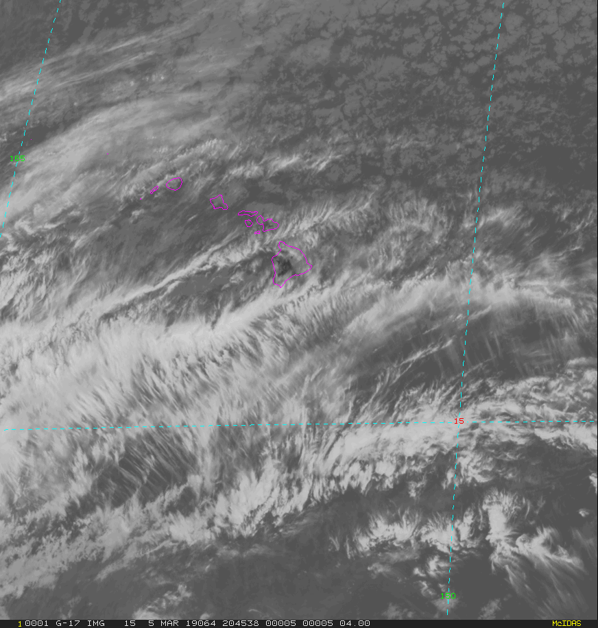
GOES-West Hawaii Regional - 15 minute Update Interval Mode 3, 5 minute Update Interval Mode 4, 10 minute Update Interval Mode 6
NB: thumbnails are links to full resolution images

Channel  Description                                  Central Lat, Lon  Resolution [km]   Size [Lines x Elements]
--------+--------------------------------------------+-----------------+-----------------+-----------------------
Band  1  0.47 um VIS aerosol-over-land                     18N, 155W           1.00              1000 x 1000
Band  2  0.64 um VIS clouds fog, insol, winds              18N, 155W           0.50              2000 x 2000
Band  3  0.86 um Near IR veg/burn scar,aerosol, wind       18N, 155W           1.00              1000 x 1000
Band  4  1.37 um Near IR cirrus cloud                      18N, 155W           2.00               500 x  500
Band  5  1.61 um Near IR cloud phase, snow                 18N, 155W           1.00              1000 x 1000
Band  6  2.24 um Near IR land/cloud, vege, snow            18N, 155W           2.00               500 x  500
Band  7  3.89 um IR Sfc, cloud, fog, fire, winds           18N, 155W           2.00               500 x  500
Band  8  6.17 um IR High-level WV, winds, rainfall         18N, 155W           2.00               500 x  500
Band  9  6.93 um IR Mid-level WV, winds, rainfall          18N, 155W           2.00               500 x  500
Band 10  7.34 um IR Lower-level WV, winds & SO2            18N, 155W           2.00               500 x  500
Band 11  8.44 um IR Total WV cloud phase, dust             18N, 155W           2.00               500 x  500
Band 12  9.61 um IR Total ozone,turbulence,wind            18N, 155W           2.00               500 x  500
Band 13  10.3 um IR Surface & cloud                        18N, 155W           2.00               500 x  500
Band 14  11.2 um IR Imagery,SST,clouds,rainfall            18N, 155W           2.00               500 x  500
Band 15  12.3 um IR Total water, ash, and SST              18N, 155W           2.00               500 x  500
Band 16  13.3 um IR Air temp, cloud height and amount      18N, 155W           2.00               500 x  500

Example LDM/IDD Product ID:
/data/ldm/pub/native/satellite/GOES/GOES16/Products/CloudAndMoistureImagery/Hawaii/Channel02/20190221/OR_ABI-L2-CMIPHI-M3C02_G17_s20190522011510_e20190522011510_c20190522011510.nc
Example LDM configuration file REQUEST line:
REQUEST NIMAGE "CMIPHI.*G17" upstream_IDD_relay

Example LDM pattern-action file action
Example LDM pattern-action file L2ProdFile.sh script
Example LDM/IDD Product IDs:
/data/ldm/pub/native/satellite/GOES/GOES17/Products/CloudAndMoistureImagery/CONUS/Channel14/20190221/OR_ABI-L2-CMIPC-M6C14_G17_s20190522016190_e20190522016190_c20190522016190.nc
/data/ldm/pub/native/satellite/GOES/GOES17/Products/CloudAndMoistureImagery/FullDisk/Channel14/20190221/OR_ABI-L2-CMIPF-M6C14_G17_s20190522010340_e20190522010340_c20190522010340.nc
/data/ldm/pub/native/satellite/GOES/GOES17/Products/CloudAndMoistureImagery/Mesoscale-1/Channel03/20190221/OR_ABI-L2-CMIPM1-M6C03_G17_s20190522018270_e20190522018270_c20190522018270.nc
/data/ldm/pub/native/satellite/GOES/GOES17/Products/CloudAndMoistureImagery/Mesoscale-2/Channel08/20190221/OR_ABI-L2-CMIPM2-M6C08_G17_s20190522014570_e20190522014570_c20190522014570.nc
/data/ldm/pub/native/satellite/GOES/GOES17/Products/CloudAndMoistureImagery/Alaska/Channel04/20190221/OR_ABI-L2-CMIPAK-M3C04_G17_s20190522014570_e20190522014570_c20190522014570.nc
/data/ldm/pub/native/satellite/GOES/GOES17/Products/CloudAndMoistureImagery/Hawaii/Channel05/20190221/OR_ABI-L2-CMIPHI-M3C05_G17_s20190522014570_e20190522014570_c20190522014570.nc
Example LDM configuration file REQUEST line:
REQUEST NIMAGE "ABI.*G17" upstream_IDD_relay

Example LDM pattern-action file FILE action
Example LDM pattern-action file L2ProdFile.sh script
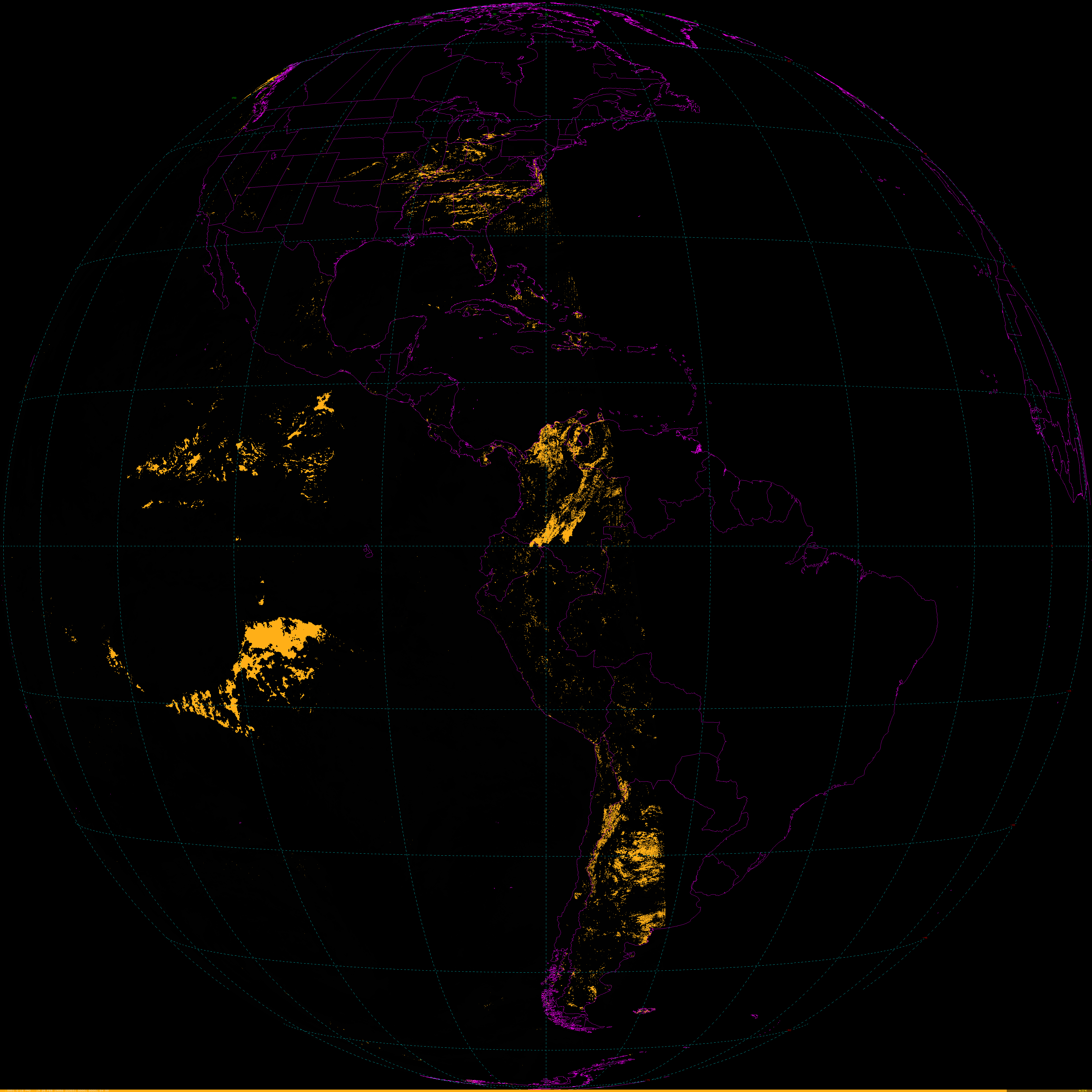
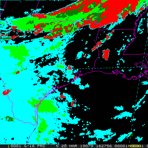
Aerosol Detection
Example LDM/IDD Product IDs:NB: thumbnails are links to full resolution images Description Coverage Central Lat, Lon Resolution [km] Size [Lines x Elements] -------------------------+------------------+-----------------+-----------------+----------------------- Aerosol Detection CONUS 30N, 87W 2.00 1500 x 2500 Aerosol Detection Smoke CONUS 30N, 87W 2.00 1500 x 2500 Aerosol Detection Dust CONUS 30N, 87W 2.00 1500 x 2500 Aerosol Detection Full Disk 0N, 75W 2.00 5424 x 5424 Aerosol Detection Smoke Full Disk 0N, 75W 2.00 5424 x 5424 Aerosol Detection Dust Full Disk 0N, 75W 2.00 5424 x 5424 Aerosol Detection Mesoscale-1 var, var 2.00 500 x 500 Aerosol Detection Smoke Mesoscale-1 var, var 2.00 500 x 500 Aerosol Detection Dust Mesoscale-1 var, var 2.00 500 x 500 Aerosol Detection Mesoscale-2 var, var 2.00 500 x 500 Aerosol Detection Smoke Mesoscale-2 var, var 2.00 500 x 500 Aerosol Detection Dust Mesoscale-2 var, var 2.00 500 x 500
/data/ldm/pub/native/satellite/GOES/GOES16/Products/AerosolDetection/CONUS/20190320/OR_ABI-L2-ADPC-M3_G16_s20190791432187_e20190791434560_c20190791435393.nc
/data/ldm/pub/native/satellite/GOES/GOES16/Products/AerosolDetection/FullDisk/20190320/OR_ABI-L2-ADPF-M3_G16_s20190791415366_e20190791426133_c20190791426521.nc
/data/ldm/pub/native/satellite/GOES/GOES16/Products/AerosolDetection/Mesoscale-1/20190320/OR_ABI-L2-ADPM1-M3_G16_s20190791435265_e20190791435323_c20190791435573.nc
/data/ldm/pub/native/satellite/GOES/GOES16/Products/AerosolDetection/Mesoscale-2/20190320/OR_ABI-L2-ADPM2-M3_G16_s20190791435565_e20190791436023_c20190791436374.nc
Example LDM configuration file REQUEST line:
REQUEST NIMAGE "ADP.*G16" upstream_IDD_relay

Example LDM pattern-action file action
Example LDM pattern-action file L2ProdFile.sh script


Aerosol Optical Depth
|
|
Example LDM/IDD Product IDs:NB: thumbnails are links to full resolution images Description Coverage Central Lat, Lon Resolution [km] Size [Lines x Elements] -------------------------+------------------+-----------------+-----------------+----------------------- Aerosol Optical Depth CONUS 30N, 87W 2.00 1500 x 2500 Aerosol Optical Depth Full Disk 0N, 75W 2.00 5424 x 5424
/data/ldm/pub/native/satellite/GOES/GOES16/Products/AerosolOpticalDepth/CONUS/20190320/OR_ABI-L2-AODC-M3_G16_s20190791432187_e20190791434560_c20190791436577.nc
/data/ldm/pub/native/satellite/GOES/GOES16/Products/AerosolOpticalDepth/FullDisk/20190320/OR_ABI-L2-AODF-M3_G16_s20190791415366_e20190791426133_c20190791429239.nc
Example LDM configuration file REQUEST line:
REQUEST NIMAGE "AOD.*G16" upstream_IDD_relay

Example LDM pattern-action file action
Example LDM pattern-action file L2ProdFile.sh script


Cloud Mask
|
|
|
|
Example LDM/IDD Product IDs:NB: thumbnails are links to full resolution images Description Coverage Central Lat, Lon Resolution [km] Size [Lines x Elements] -------------------------+------------------+-----------------+-----------------+----------------------- Cloud Mask CONUS 30N, 87W 2.00 1500 x 2500 Cloud Mask Full Disk 0N, 75W 2.00 5424 x 5424 Cloud Mask Mesoscale-1 var, var 2.00 500 x 500 Cloud Mask Mesoscale-2 var, var 2.00 500 x 500
/data/ldm/pub/native/satellite/GOES/GOES16/Products/CloudMask/CONUS/20190320/OR_ABI-L2-ACMC-M3_G16_s20190791432187_e20190791434560_c20190791435206.nc
/data/ldm/pub/native/satellite/GOES/GOES16/Products/CloudMask/FullDisk/20190320/OR_ABI-L2-ACMF-M3_G16_s20190791415366_e20190791426133_c20190791426302.nc
/data/ldm/pub/native/satellite/GOES/GOES16/Products/CloudMask/Mesoscale-1/20190320/OR_ABI-L2-ACMM1-M3_G16_s20190791439265_e20190791439323_c20190791439543.nc
/data/ldm/pub/native/satellite/GOES/GOES16/Products/CloudMask/Mesoscale-2/20190320/OR_ABI-L2-ACMM2-M3_G16_s20190791438565_e20190791439023_c20190791439232.nc
Example LDM configuration file REQUEST line:
REQUEST NIMAGE "ACM.*G16" upstream_IDD_relay

Example LDM pattern-action file action
Example LDM pattern-action file L2ProdFile.sh script


Cloud Optical Depth
|
|
Example LDM/IDD Product IDs:NB: thumbnails are links to full resolution images Description Coverage Central Lat, Lon Resolution [km] Size [Lines x Elements] -------------------------+------------------+-----------------+-----------------+----------------------- Cloud Optical Depth CONUS 30N, 87W 2.00 1500 x 2500 Cloud Optical Depth Full Disk 0N, 75W 4.00 2712 x 2712
/data/ldm/pub/native/satellite/GOES/GOES16/Products/CloudOpticalDepth/CONUS/20190320/OR_ABI-L2-CODC-M3_G16_s20190791432187_e20190791434560_c20190791436223.nc
/data/ldm/pub/native/satellite/GOES/GOES16/Products/CloudOpticalDepth/FullDisk/20190320/OR_ABI-L2-CODF-M3_G16_s20190791415366_e20190791426133_c20190791427376.nc
Example LDM configuration file REQUEST line:
REQUEST NIMAGE "COD.*G16" upstream_IDD_relay

Example LDM pattern-action file action
Example LDM pattern-action file L2ProdFile.sh script


Cloud Particle Size
|
|
|
|
Example LDM/IDD Product IDs:NB: thumbnails are links to full resolution images Description Coverage Central Lat, Lon Resolution [km] Size [Lines x Elements] -------------------------+------------------+-----------------+-----------------+----------------------- Cloud Particle Size CONUS 30N, 87W 2.00 1500 x 2500 Cloud Particle Size Full Disk 0N, 75W 2.00 5424 x 5424 Cloud Particle Size Mesoscale-1 var, var 2.00 500 x 500 Cloud Particle Size Mesoscale-2 var, var 2.00 500 x 500
/data/ldm/pub/native/satellite/GOES/GOES16/Products/CloudParticleSize/CONUS/20190320/OR_ABI-L2-CPSC-M3_G16_s20190791432187_e20190791434560_c20190791436223.nc
/data/ldm/pub/native/satellite/GOES/GOES16/Products/CloudParticleSize/FullDisk/20190320/OR_ABI-L2-CPSF-M3_G16_s20190791415366_e20190791426133_c20190791427376.nc
/data/ldm/pub/native/satellite/GOES/GOES16/Products/CloudParticleSize/Mesoscale-1/20190320/OR_ABI-L2-CPSM1-M3_G16_s20190791438265_e20190791438323_c20190791439415.nc
/data/ldm/pub/native/satellite/GOES/GOES16/Products/CloudParticleSize/Mesoscale-2/20190320/OR_ABI-L2-CPSM2-M3_G16_s20190791437565_e20190791438023_c20190791439030.nc
Example LDM configuration file REQUEST line:
REQUEST NIMAGE "CPS.*G16" upstream_IDD_relay

Example LDM pattern-action file action
Example LDM pattern-action file L2ProdFile.sh script


Cloud Top Height
|
|
|
|
Example LDM/IDD Product IDs:NB: thumbnails are links to full resolution images Description Coverage Central Lat, Lon Resolution [km] Size [Lines x Elements] -------------------------+------------------+-----------------+-----------------+----------------------- Cloud Top Height CONUS 30N, 87W 10.00 300 x 500 Cloud Top Height Full Disk 0N, 75W 10.00 1086 x 1086 Cloud Top Height Mesoscale-1 var, var 4.00 250 x 250 Cloud Top Height Mesoscale-2 var, var 4.00 250 x 250
/data/ldm/pub/native/satellite/GOES/GOES16/Products/CloudTopHeight/CONUS/20190320/OR_ABI-L2-ACHAC-M3_G16_s20190791432187_e20190791434560_c20190791436127.nc
/data/ldm/pub/native/satellite/GOES/GOES16/Products/CloudTopHeight/FullDisk/20190320/OR_ABI-L2-ACHAF-M3_G16_s20190791415366_e20190791426133_c20190791427107.nc
/data/ldm/pub/native/satellite/GOES/GOES16/Products/CloudTopHeight/Mesoscale-1/20190320/OR_ABI-L2-ACHAM1-M3_G16_s20190791438265_e20190791438323_c20190791439221.nc
/data/ldm/pub/native/satellite/GOES/GOES16/Products/CloudTopHeight/Mesoscale-2/20190320/OR_ABI-L2-ACHAM2-M3_G16_s20190791438565_e20190791439023_c20190791439522.nc
Example LDM configuration file REQUEST line:
REQUEST NIMAGE "ACHA.*G16" upstream_IDD_relay

Example LDM pattern-action file action
Example LDM pattern-action file L2ProdFile.sh script


Cloud Top Phase
|
|
|
|
Example LDM/IDD Product IDs:NB: thumbnails are links to full resolution images Description Coverage Central Lat, Lon Resolution [km] Size [Lines x Elements] -------------------------+------------------+-----------------+-----------------+----------------------- Cloud Top Phase CONUS 30N, 87W 2.00 1500 x 2500 Cloud Top Phase Full Disk 0N, 75W 2.00 5424 x 5424 Cloud Top Phase Mesoscale-1 var, var 2.00 500 x 500 Cloud Top Phase Mesoscale-2 var, var 2.00 500 x 500
/data/ldm/pub/native/satellite/GOES/GOES16/Products/CloudTopPhase/CONUS/20190320/OR_ABI-L2-ACTPC-M3_G16_s20190791432187_e20190791434560_c20190791435335.nc
/data/ldm/pub/native/satellite/GOES/GOES16/Products/CloudTopPhase/FullDisk/20190320/OR_ABI-L2-ACTPF-M6_G16_s20190791420341_e20190791429408_c20190791430065.nc
/data/ldm/pub/native/satellite/GOES/GOES16/Products/CloudTopPhase/Mesoscale-1/20190320/OR_ABI-L2-ACTPM1-M3_G16_s20190791438265_e20190791438323_c20190791439008.nc
/data/ldm/pub/native/satellite/GOES/GOES16/Products/CloudTopPhase/Mesoscale-2/20190320/OR_ABI-L2-ACTPM2-M3_G16_s20190791438565_e20190791439023_c20190791439345.nc
Example LDM configuration file REQUEST line:
REQUEST NIMAGE "ACTP.*G16" upstream_IDD_relay


Cloud Top Pressure
|
|
Example LDM/IDD Product IDs:NB: thumbnails are links to full resolution images Description Coverage Central Lat, Lon Resolution [km] Size [Lines x Elements] -------------------------+------------------+-----------------+-----------------+----------------------- Cloud Top Pressure CONUS 30N, 87W 10.00 300 x 500 Cloud Top Pressure Full Disk 0N, 75W 10.00 1086 x 1086
/data/ldm/pub/native/satellite/GOES/GOES16/Products/CloudTopPressure/CONUS/20190320/OR_ABI-L2-CTPC-M3_G16_s20190791432187_e20190791434560_c20190791436127.nc
/data/ldm/pub/native/satellite/GOES/GOES16/Products/CloudTopPressure/FullDisk/20190320/OR_ABI-L2-CTPF-M6_G16_s20190791420341_e20190791429408_c20190791430278.nc
Example LDM configuration file REQUEST line:
REQUEST NIMAGE "CTP.*G16" upstream_IDD_relay

Example LDM pattern-action file action
Example LDM pattern-action file L2ProdFile.sh script


Cloud Top Temperature
|
|
|
Example LDM/IDD Product IDs:NB: thumbnails are links to full resolution images Description Coverage Central Lat, Lon Resolution [km] Size [Lines x Elements] -------------------------+------------------+-----------------+-----------------+----------------------- Cloud Top Temperature Full Disk 0N, 75W 2.00 5424 x 5424 Cloud Top Temperature Mesoscale-1 var, var 2.00 500 x 500 Cloud Top Temperature Mesoscale-2 var, var 2.00 500 x 500
/data/ldm/pub/native/satellite/GOES/GOES16/Products/CloudTopTemperature/FullDisk/20190320/OR_ABI-L2-ACHTF-M3_G16_s20190791415366_e20190791426133_c20190791427108.nc
/data/ldm/pub/native/satellite/GOES/GOES16/Products/CloudTopTemperature/Mesoscale-1/20190320/OR_ABI-L2-ACHTM1-M3_G16_s20190791438265_e20190791438323_c20190791439222.nc
/data/ldm/pub/native/satellite/GOES/GOES16/Products/CloudTopTemperature/Mesoscale-2/20190320/OR_ABI-L2-ACHTM2-M3_G16_s20190791438565_e20190791439023_c20190791439523.nc
Example LDM configuration file REQUEST line: REQUEST NIMAGE "ACHT.*G16" upstream_IDD_relay Example LDM pattern-action file action Example LDM pattern-action file L2ProdFile.sh script
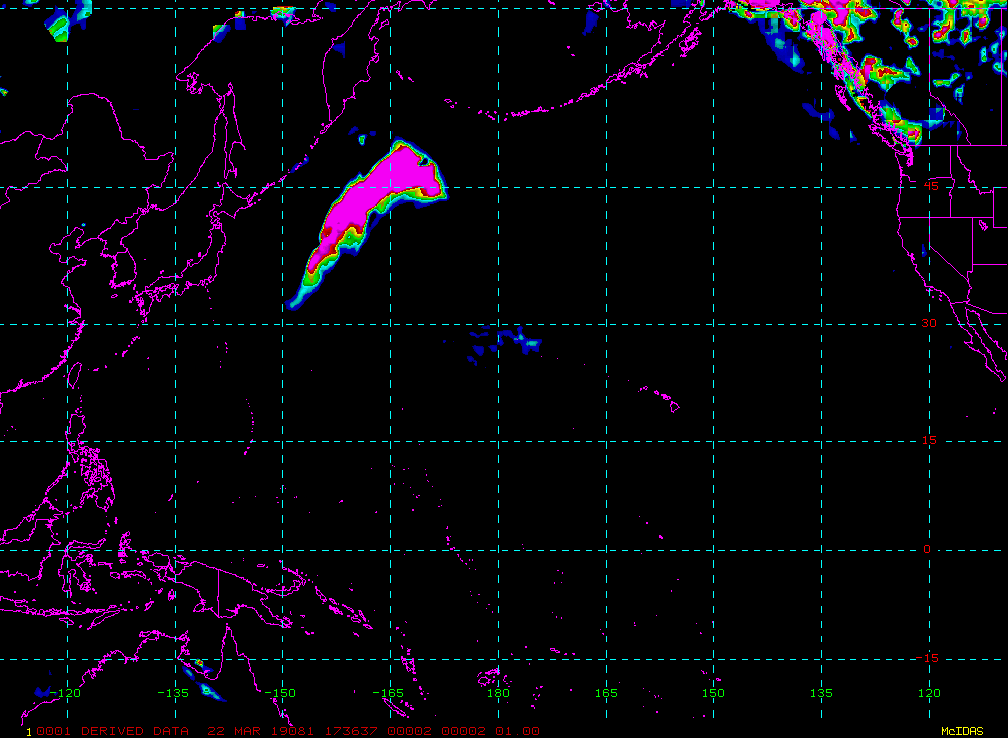
Derived Stability Indicies
Example LDM/IDD Product IDs:NB: thumbnails are links to full resolution images Description Coverage Central Lat, Lon Resolution [km] Size [Lines x Elements] -------------------------+------------------+-----------------+-----------------+----------------------- Lifted Index CONUS 30N, 87W 10.00 300 x 500 CAPE CONUS 30N, 87W 10.00 300 x 500 Total Totals Index CONUS 30N, 87W 10.00 300 x 500 Showalter Index CONUS 30N, 87W 10.00 300 x 500 K-Index CONUS 30N, 87W 10.00 300 x 500 Lifted Index Full Disk 0N, 75W 10.00 1086 x 1086 CAPE Full Disk 0N, 75W 10.00 1086 x 1086 Total Totals Index Full Disk 0N, 75W 10.00 1086 x 1086 Showalter Index Full Disk 0N, 75W 10.00 1086 x 1086 K-Index Full Disk 0N, 75W 10.00 1086 x 1086 Lifted Index Mesoscale-1 var, var 10.00 100 x 100 CAPE Mesoscale-1 var, var 10.00 100 x 100 Total Totals Index Mesoscale-1 var, var 10.00 100 x 100 Showalter Index Mesoscale-1 var, var 10.00 100 x 100 K-Index Mesoscale-1 var, var 10.00 100 x 100 Lifted Index Mesoscale-2 var, var 10.00 100 x 100 CAPE Mesoscale-2 var, var 10.00 100 x 100 Total Totals Index Mesoscale-2 var, var 10.00 100 x 100 Showalter Index Mesoscale-2 var, var 10.00 100 x 100 K-Index Mesoscale-2 var, var 10.00 100 x 100
/data/ldm/pub/native/satellite/GOES/GOES16/Products/DerivedStabilityIndices/CONUS/20190320/OR_ABI-L2-DSIC-M3_G16_s20190791432187_e20190791434560_c20190791436230.nc
/data/ldm/pub/native/satellite/GOES/GOES16/Products/DerivedStabilityIndices/FullDisk/20190320/OR_ABI-L2-DSIF-M6_G16_s20190791420341_e20190791429408_c20190791430225.nc
/data/ldm/pub/native/satellite/GOES/GOES16/Products/DerivedStabilityIndices/Mesoscale-1/20190320/OR_ABI-L2-DSIM1-M3_G16_s20190791438265_e20190791438323_c20190791439188.nc
/data/ldm/pub/native/satellite/GOES/GOES16/Products/DerivedStabilityIndices/Mesoscale-2/20190320/OR_ABI-L2-DSIM2-M3_G16_s20190791437565_e20190791438023_c20190791439014.nc
Example LDM configuration file REQUEST line: REQUEST NIMAGE "DSI.*G16" upstream_IDD_relay Example LDM pattern-action file action Example LDM pattern-action file L2ProdFile.sh script
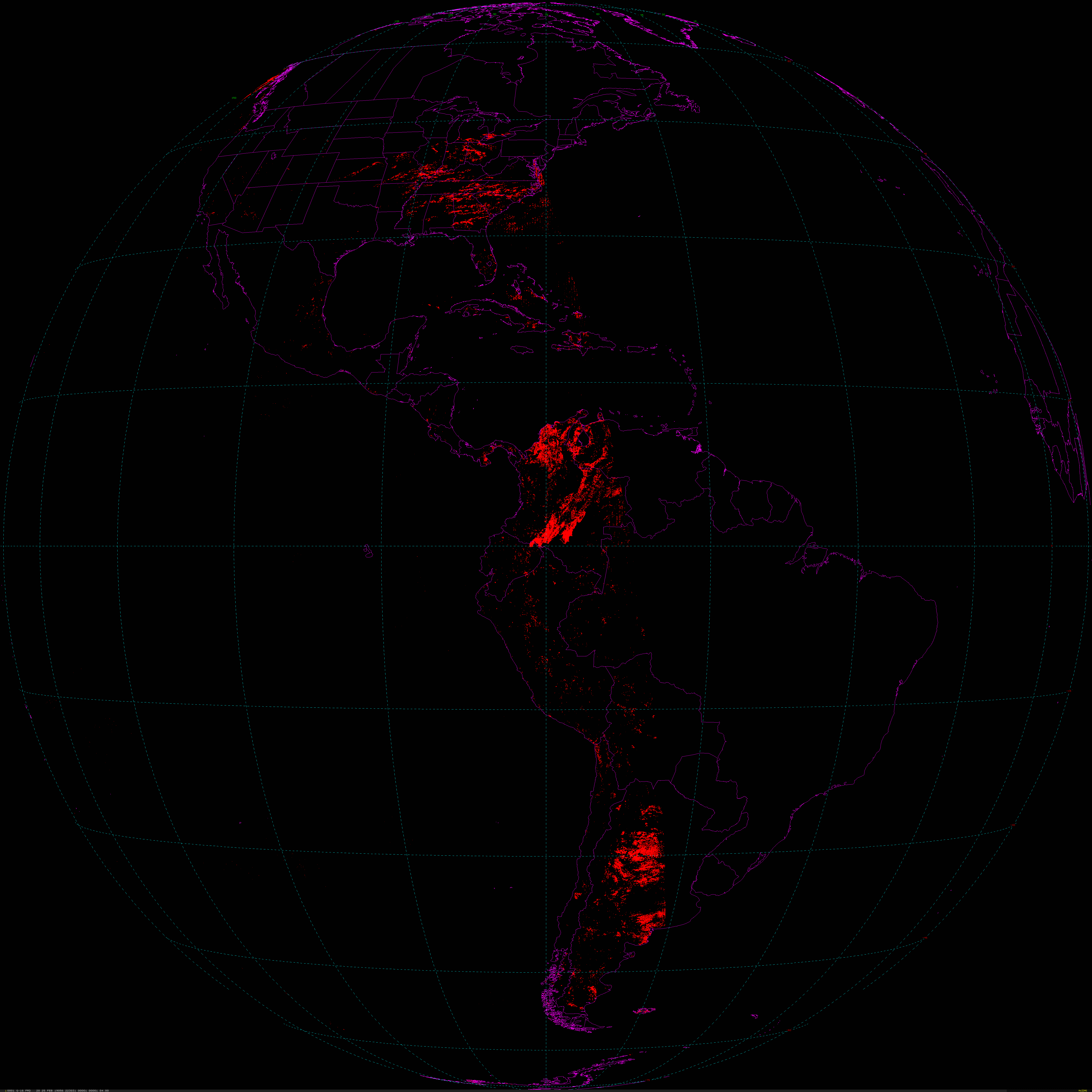
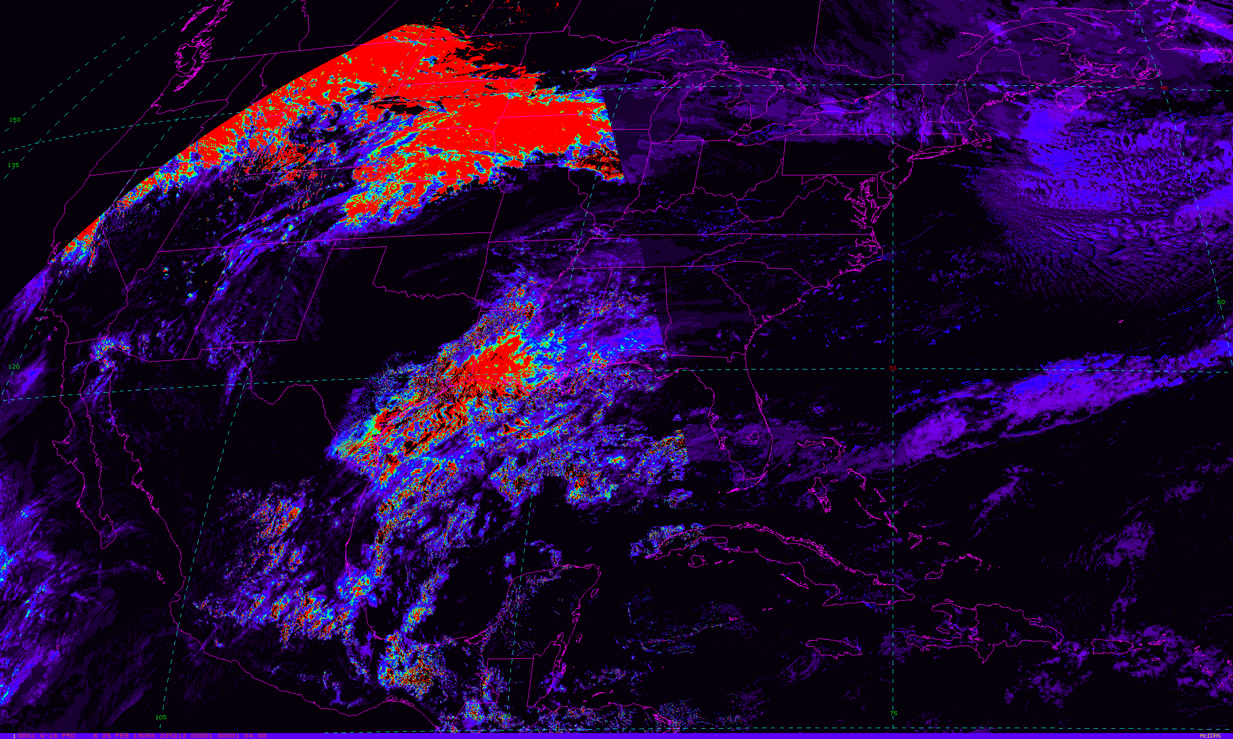
Fire Detection
Example LDM/IDD Product IDs:NB: thumbnails are links to full resolution images Description Coverage Central Lat, Lon Resolution [km] Size [Lines x Elements] -------------------------+------------------+-----------------+-----------------+----------------------- Fire Detection Area CONUS 30N, 87W 2.00 1500 x 2450 Fire Detection Temp CONUS 30N, 87W 2.00 1500 x 2450 Fire Detection Mask CONUS 30N, 87W 2.00 1500 x 2450 Fire Detection Power CONUS 30N, 87W 2.00 1500 x 2450 Fire Detection Area Full Disk 0N, 75W 2.00 5424 x 5424 Fire Detection Temp Full Disk 0N, 75W 2.00 5424 x 5424 Fire Detection Mask Full Disk 0N, 75W 2.00 5424 x 5424 Fire Detection Power Full Disk 0N, 75W 2.00 5424 x 5424
/data/ldm/pub/native/satellite/GOES/GOES16/Products/FireHotSpot/CONUS/20190320/OR_ABI-L2-FDCC-M3_G16_s20190791432187_e20190791434560_c20190791435146.nc
/data/ldm/pub/native/satellite/GOES/GOES16/Products/FireHotSpot/FullDisk/20190320/OR_ABI-L2-FDCF-M3_G16_s20190791415366_e20190791426133_c20190791426242.nc
Example LDM configuration file REQUEST line: REQUEST NIMAGE "FDC.*G16" upstream_IDD_relay Example LDM pattern-action file action Example LDM pattern-action file L2ProdFile.sh script
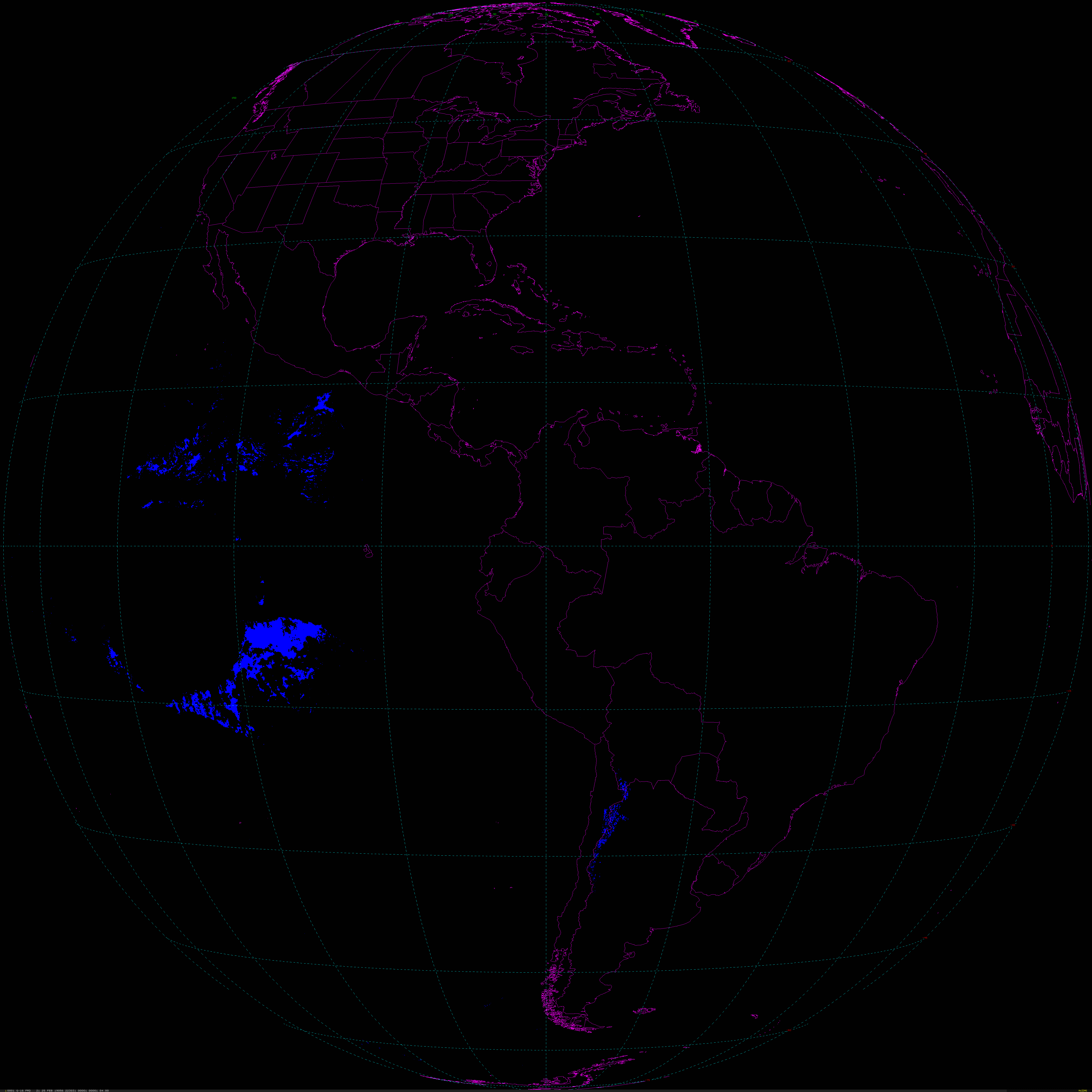
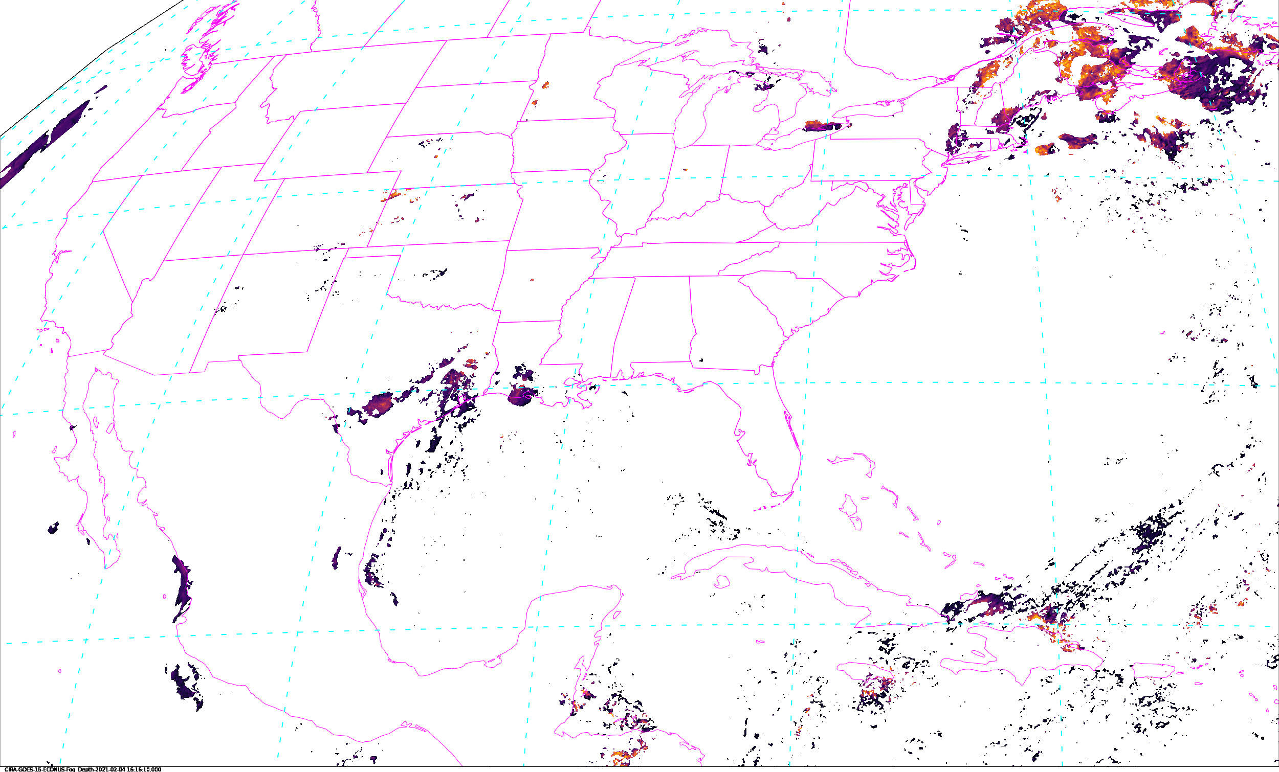
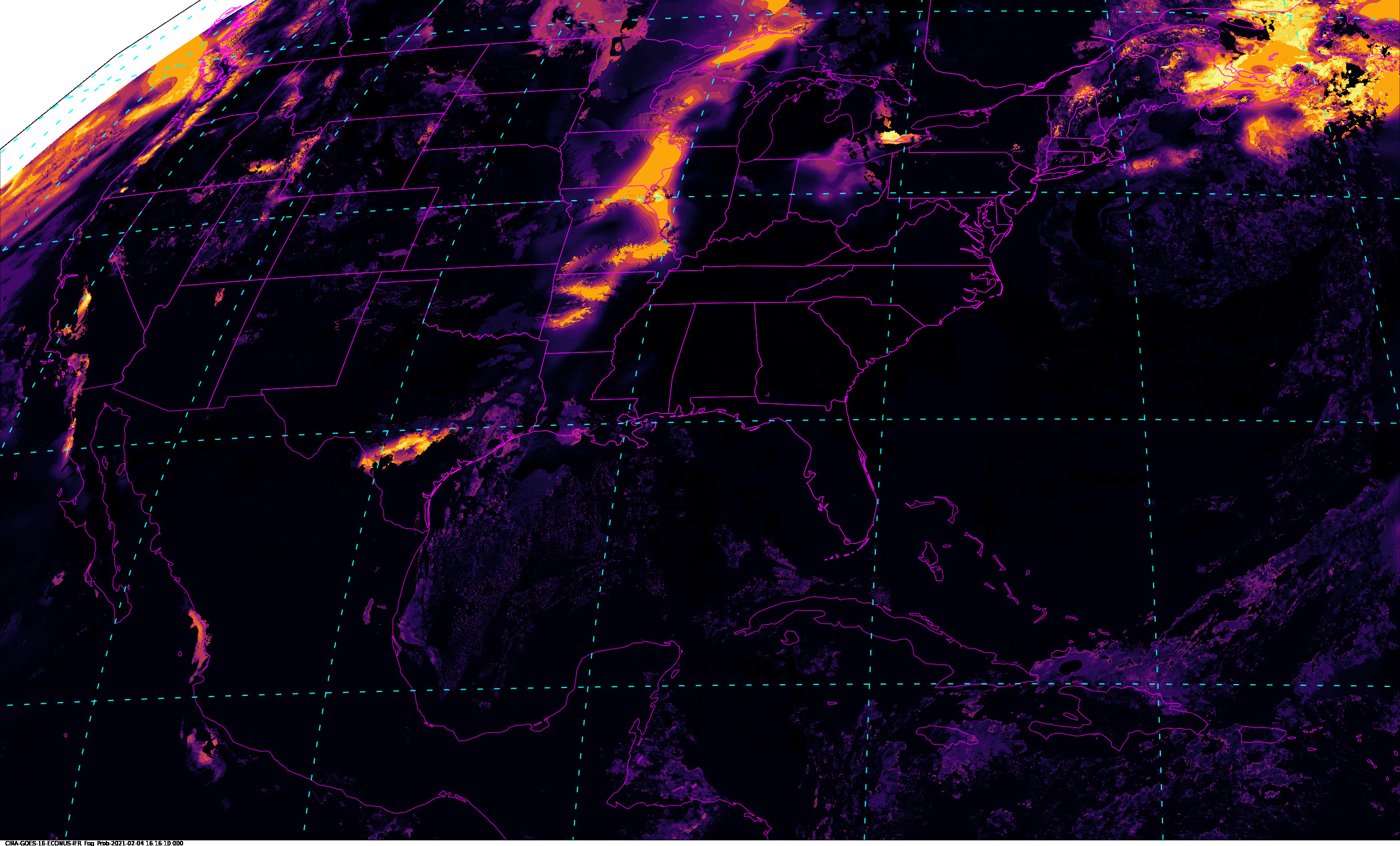
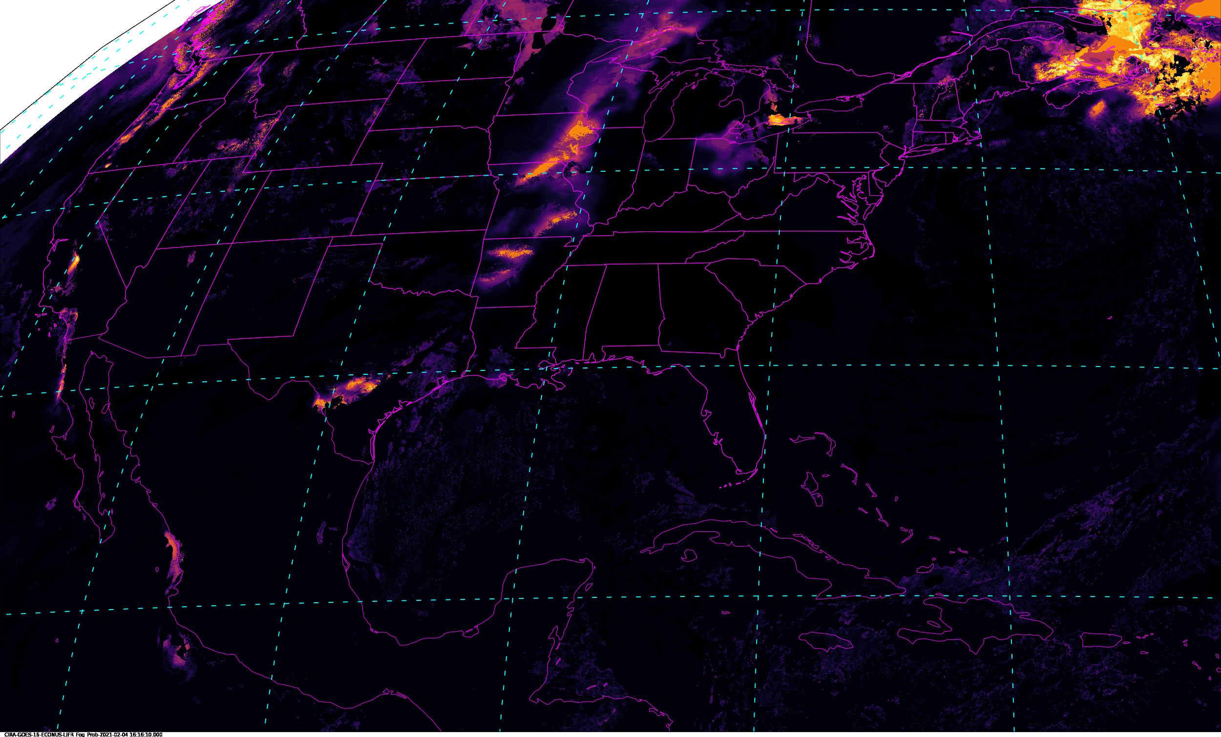
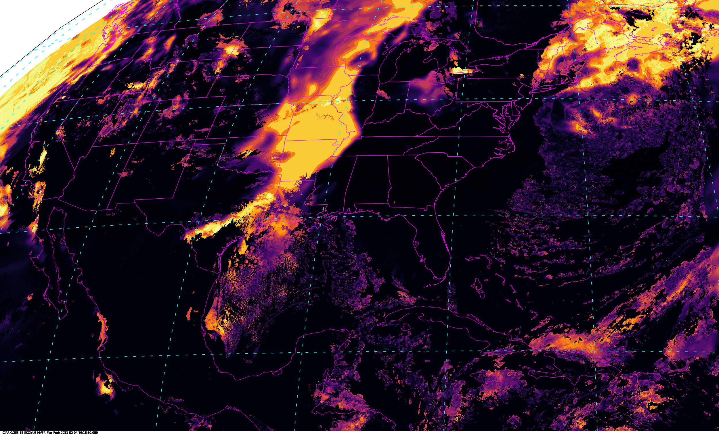
Fog and Low Stratus
|
|
|
|
Example LDM/IDD Product IDs:NB: thumbnails are links to full resolution images Description Coverage Central Lat, Lon Resolution [km] Size [Lines x Elements] -------------------------+------------------+-----------------+-----------------+----------------------- Fog Probability CONUS 30N, 87W 1.00 3000 x 5000 IFR Fog Probability Full Disk 30N, 87W 1.00 3000 x 5000 LIFR Fog Probability Mesoscale-1 30N, 87W 1.00 3000 x 5000 MVFR Fog Probability Mesoscale-2 30N, 87W 1.00 3000 x 5000
/data/ldm/pub/native/satellite/GOES/GOES16/Products/FogLowStratus/CONUS/20210327OR_ABI-L2-GFLSC-M6_G16_s20210861531137_e20210861533510_c20210861534344.nc
Example LDM configuration file REQUEST line:
REQUEST NIMAGE "GFLSC.*G16" upstream_IDD_relay

Example LDM pattern-action file action
Example LDM pattern-action file L2ProdFile.sh script
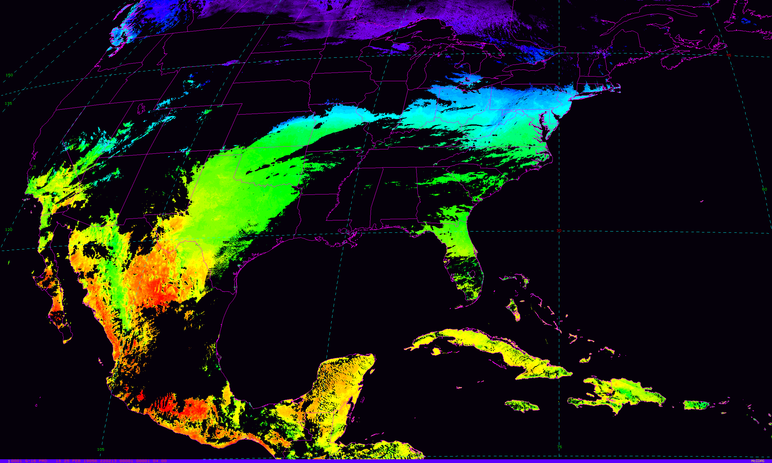
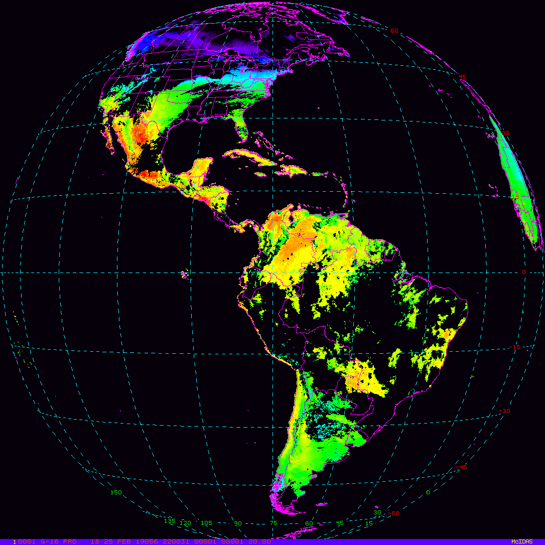
Land Surface Temperature
|
|
|
|
Example LDM/IDD Product IDs:NB: thumbnails are links to full resolution images Description Coverage Central Lat, Lon Resolution [km] Size [Lines x Elements] -------------------------+------------------+-----------------+-----------------+----------------------- Land Surface Temperature CONUS 30N, 87W 2.00 1500 x 2500 Land Surface Temperature Full Disk 0N, 75W 10.00 1086 x 1086 Land Surface Temperature Mesoscale-1 var, var 2.00 500 x 500 Land Surface Temperature Mesoscale-2 var, var 2.00 500 x 500
/data/ldm/pub/native/satellite/GOES/GOES16/Products/LandSurfaceTemperature/CONUS/20190320/OR_ABI-L2-LSTC-M3_G16_s20190791402187_e20190791404560_c20190791405229.nc
/data/ldm/pub/native/satellite/GOES/GOES16/Products/LandSurfaceTemperature/FullDisk/20190320/OR_ABI-L2-LSTF-M3_G16_s20190791400366_e20190791411133_c20190791411402.nc
Example LDM configuration file REQUEST line:
REQUEST NIMAGE "LST.*G16" upstream_IDD_relay
Example LDM pattern-action file action
Example LDM pattern-action file L2ProdFile.sh script
Rain Rate QPE
|
Example LDM/IDD Product ID:NB: thumbnails are links to full resolution images Description Coverage Central Lat, Lon Resolution [km] Size [Lines x Elements] -------------------------+------------------+-----------------+-----------------+----------------------- Rain Rate QPE Full Disk 0N, 75W 2.00 5424 x 5424
/data/ldm/pub/native/satellite/GOES/GOES16/Products/RainRateQPE/FullDisk/20190320/OR_ABI-L2-RRQPEF-M6_G16_s20190791430341_e20190791439408_c20190791439486.nc
Example LDM configuration file REQUEST line:
REQUEST NIMAGE "RRQPE.*G16" upstream_IDD_relay
Example LDM pattern-action file action
Example LDM pattern-action file L2ProdFile.sh script
Sea Surface Temperature
|
Example LDM/IDD Product ID:NB: thumbnails are links to full resolution images Description Coverage Central Lat, Lon Resolution [km] Size [Lines x Elements] -------------------------+------------------+-----------------+-----------------+----------------------- Sea Surface Temperature Full Disk 0N, 75W 2.00 5424 x 5424
/data/ldm/pub/native/satellite/GOES/GOES16/Products/SeaSurfaceTemperature/FullDisk/20190320/OR_ABI-L2-SSTF-M6_G16_s20190791430341_e20190791439408_c20190791439486.nc
Example LDM configuration file REQUEST line:
REQUEST NIMAGE "SST.*G16" upstream_IDD_relay
Example LDM pattern-action file action
Example LDM pattern-action file L2ProdFile.sh script
Total Precipitable Water
|
|
|
|
Example LDM/IDD Product IDs:NB: thumbnails are links to full resolution images Description Coverage Central Lat, Lon Resolution [km] Size [Lines x Elements] -------------------------+------------------+-----------------+-----------------+----------------------- Total Precipitable Water CONUS 30N, 87W 10.00 300 x 500 Total Precipitable Water Full Disk 0N, 75W 10.00 1086 x 1086 Total Precipitable Water Mesoscale-1 var, var 2.00 100 x 100 Total Precipitable Water Mesoscale-2 var, var 2.00 100 x 100
/data/ldm/pub/native/satellite/GOES/GOES16/Products/TotalPrecipitableWater/CONUS/20190320/OR_ABI-L2-TPWC-M3_G16_s20190791432187_e20190791434560_c20190791436230.nc
/data/ldm/pub/native/satellite/GOES/GOES16/Products/TotalPrecipitableWater/FullDisk/20190320/OR_ABI-L2-TPWF-M6_G16_s20190791420341_e20190791429408_c20190791430225.nc
/data/ldm/pub/native/satellite/GOES/GOES16/Products/TotalPrecipitableWater/Mesoscale-1/20190320/OR_ABI-L2-TPWM1-M3_G16_s20190791438265_e20190791438323_c20190791439188.nc
/data/ldm/pub/native/satellite/GOES/GOES16/Products/TotalPrecipitableWater/Mesoscale-2/20190320/OR_ABI-L2-TPWM2-M3_G16_s20190791437565_e20190791438023_c20190791439014.nc
Example LDM configuration file REQUEST line:
REQUEST NIMAGE "TPW.*G16" upstream_IDD_relay
Example LDM pattern-action file action
Example LDM pattern-action file L2ProdFile.sh script
Volcanic Ash
|
|
Example LDM/IDD Product ID:NB: thumbnails are links to full resolution images Description Coverage Central Lat, Lon Resolution [km] Size [Lines x Elements] -------------------------+------------------+-----------------+-----------------+----------------------- Volcanic Ash Height Full Disk 0N, 75W 2.00 5424 x 5424 Volcanic Ash Mass Loading Full Disk 0N, 75W 2.00 5424 x 5424
/data/ldm/pub/native/satellite/GOES/GOES16/Products/VolcanicAshDetection/FullDisk/20190320/OR_ABI-L2-VAAF-M3_G16_s20190791415366_e20190791426133_c20190791427126.nc
Example LDM configuration file REQUEST line:
REQUEST NIMAGE "VAA.*G16" upstream_IDD_relay
Example LDM pattern-action file action
Example LDM pattern-action file L2ProdFile.sh script
Legacy Vertical Profiles
Description                      Coverage     Central Lat, Lon  Resolution [km]   Size [Lines x Elements]
--------------------------------+------------+-----------------+-----------------+-----------------------
Legacy Vertical Moisture Profile CONUS           30N,  87W          10.00               300 x  500
Legacy Vertical Temp.    Profile CONUS           30N,  87W          10.00               300 x  500
Example LDM/IDD Product IDs:
/data/ldm/pub/native/satellite/GOES/GOES16/Products/LegacyVerticalMoistureProfile/CONUS/20190320/OR_ABI-L2-LVMPC-M3_G16_s20190791422187_e20190791424560_c20190791426217.nc
/data/ldm/pub/native/satellite/GOES/GOES16/Products/LegacyVerticalTemperatureProfile/CONUS/20190320/OR_ABI-L2-LVTPC-M3_G16_s20190791422187_e20190791424560_c20190791426217.nc
Example LDM configuration file REQUEST line:
REQUEST NIMAGE "LV.P.*G16" upstream_IDD_relay
Example LDM pattern-action file action
Example LDM pattern-action file L2ProdFile.sh script
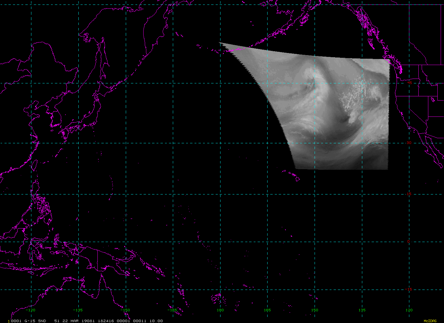
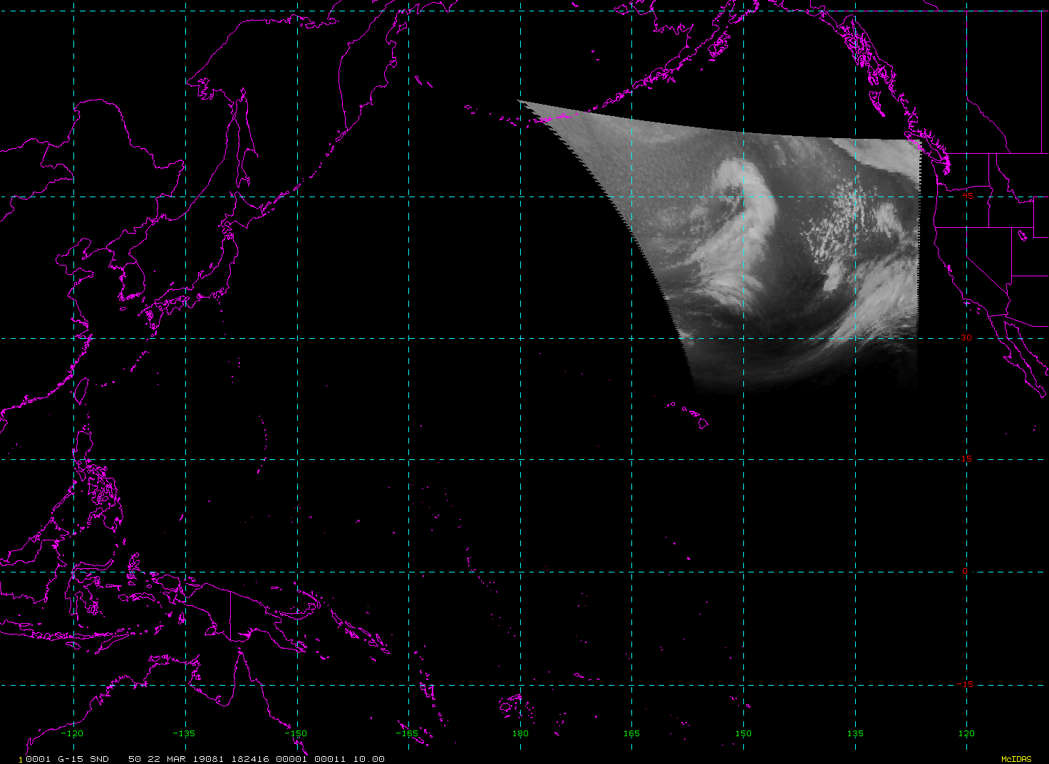
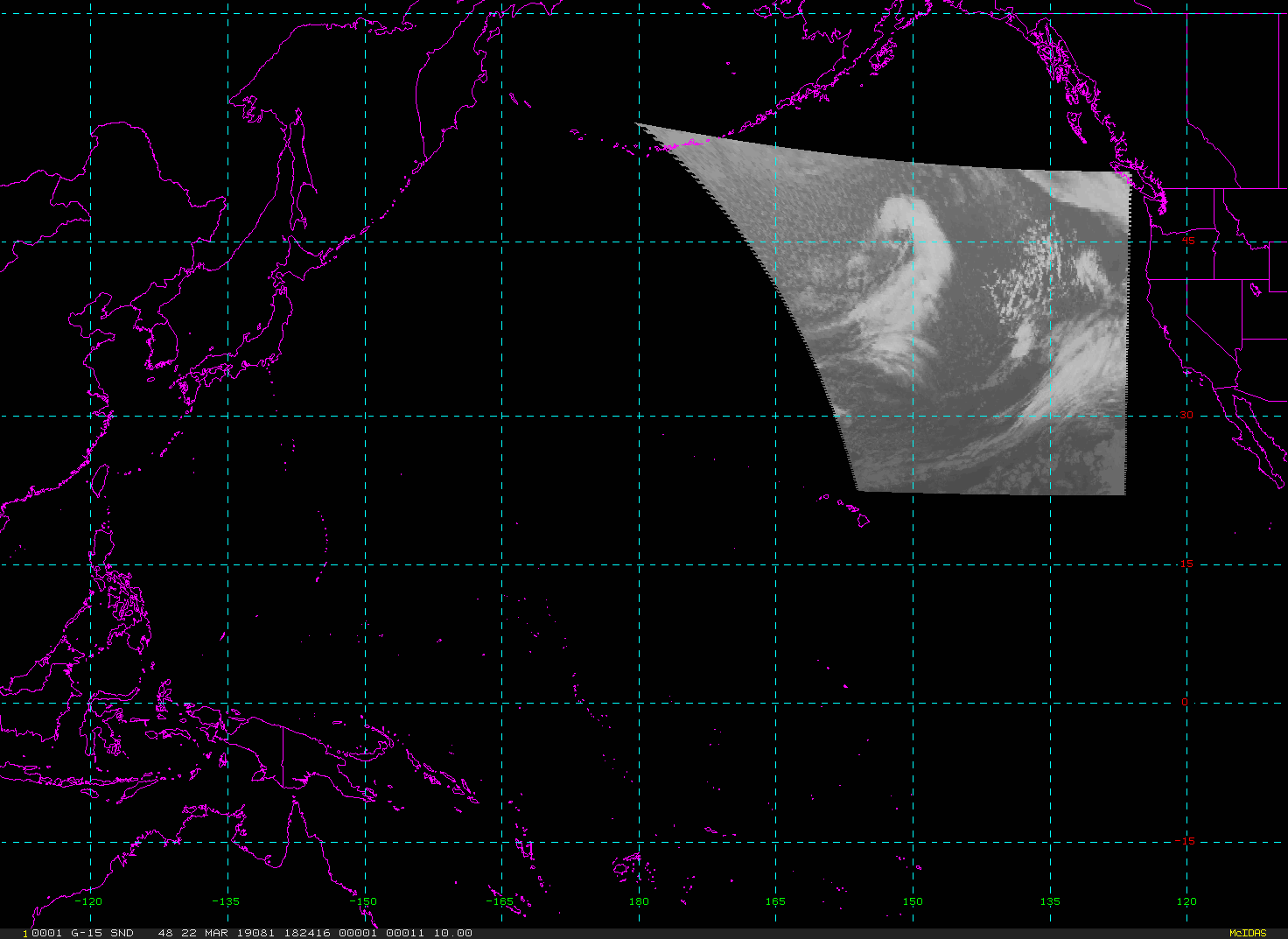
Derived Motion Winds
Description               Coverage           Central Lat, Lon  Resolution [km]   Size [Lines x Elements]
-------------------------+------------------+-----------------+-----------------+-----------------------
Derived Motion Winds      CONUS                   30N,  87W           2.00              1500 x 2500
Example LDM/IDD Product IDs:
/data/ldm/pub/native/satellite/GOES/GOES16/Products/DerivedMotionWinds/CONUS/Channel02/20190320/OR_ABI-L2-DMWC-M3C02_G16_s20190791417187_e20190791419560_c20190791427096.nc
/data/ldm/pub/native/satellite/GOES/GOES16/Products/DerivedMotionWinds/CONUS/Channel07/20190320/OR_ABI-L2-DMWC-M3C07_G16_s20190791417187_e20190791419572_c20190791426258.nc
/data/ldm/pub/native/satellite/GOES/GOES16/Products/DerivedMotionWinds/CONUS/Channel08/20190320/OR_ABI-L2-DMWC-M3C08_G16_s20190791417187_e20190791419560_c20190791426289.nc
/data/ldm/pub/native/satellite/GOES/GOES16/Products/DerivedMotionWinds/CONUS/Channel09/20190320/OR_ABI-L2-DMWC-M3C09_G16_s20190791402187_e20190791404565_c20190791436420.nc
/data/ldm/pub/native/satellite/GOES/GOES16/Products/DerivedMotionWinds/CONUS/Channel10/20190320/OR_ABI-L2-DMWC-M3C10_G16_s20190791402187_e20190791404571_c20190791436386.nc
/data/ldm/pub/native/satellite/GOES/GOES16/Products/DerivedMotionWinds/CONUS/Channel14/20190320/OR_ABI-L2-DMWC-M3C14_G16_s20190791417187_e20190791419560_c20190791426454.nc
/data/ldm/pub/native/satellite/GOES/GOES16/Products/DerivedMotionWinds/Mesoscale-1/Channel02/20190320/OR_ABI-L2-DMWM1-M3C02_G16_s20190791430265_e20190791430323_c20190791436574.nc
/data/ldm/pub/native/satellite/GOES/GOES16/Products/DerivedMotionWinds/Mesoscale-1/Channel07/20190320/OR_ABI-L2-DMWM1-M3C07_G16_s20190791425265_e20190791425334_c20190791431292.nc
/data/ldm/pub/native/satellite/GOES/GOES16/Products/DerivedMotionWinds/Mesoscale-1/Channel08/20190320/OR_ABI-L2-DMWM1-M3C08_G16_s20190791430265_e20190791430323_c20190791436344.nc
/data/ldm/pub/native/satellite/GOES/GOES16/Products/DerivedMotionWinds/Mesoscale-1/Channel09/20190320/OR_ABI-L2-DMWM1-M3C09_G16_s20190791405265_e20190791405328_c20190791436351.nc
/data/ldm/pub/native/satellite/GOES/GOES16/Products/DerivedMotionWinds/Mesoscale-1/Channel10/20190320/OR_ABI-L2-DMWM1-M3C10_G16_s20190791405265_e20190791405334_c20190791436346.nc
/data/ldm/pub/native/satellite/GOES/GOES16/Products/DerivedMotionWinds/Mesoscale-1/Channel14/20190320/OR_ABI-L2-DMWM1-M3C14_G16_s20190791430265_e20190791430323_c20190791436360.nc
/data/ldm/pub/native/satellite/GOES/GOES16/Products/DerivedMotionWinds/Mesoscale-2/Channel02/20190320/OR_ABI-L2-DMWM2-M3C02_G16_s20190791430565_e20190791431023_c20190791437371.nc
/data/ldm/pub/native/satellite/GOES/GOES16/Products/DerivedMotionWinds/Mesoscale-2/Channel07/20190320/OR_ABI-L2-DMWM2-M3C07_G16_s20190791430565_e20190791431035_c20190791437105.nc
/data/ldm/pub/native/satellite/GOES/GOES16/Products/DerivedMotionWinds/Mesoscale-2/Channel08/20190320/OR_ABI-L2-DMWM2-M3C08_G16_s20190791430565_e20190791431023_c20190791437106.nc
/data/ldm/pub/native/satellite/GOES/GOES16/Products/DerivedMotionWinds/Mesoscale-2/Channel09/20190320/OR_ABI-L2-DMWM2-M3C09_G16_s20190791400565_e20190791401028_c20190791431592.nc
/data/ldm/pub/native/satellite/GOES/GOES16/Products/DerivedMotionWinds/Mesoscale-2/Channel10/20190320/OR_ABI-L2-DMWM2-M3C10_G16_s20190791405565_e20190791406035_c20190791437118.nc
/data/ldm/pub/native/satellite/GOES/GOES16/Products/DerivedMotionWinds/Mesoscale-2/Channel14/20190320/OR_ABI-L2-DMWM2-M3C14_G16_s20190791430565_e20190791431023_c20190791437117.nc
Example LDM configuration file REQUEST line:
REQUEST NIMAGE "DMW.*G16" upstream_IDD_relay

Example LDM pattern-action file action
Example LDM pattern-action file L2ProdFile.sh script
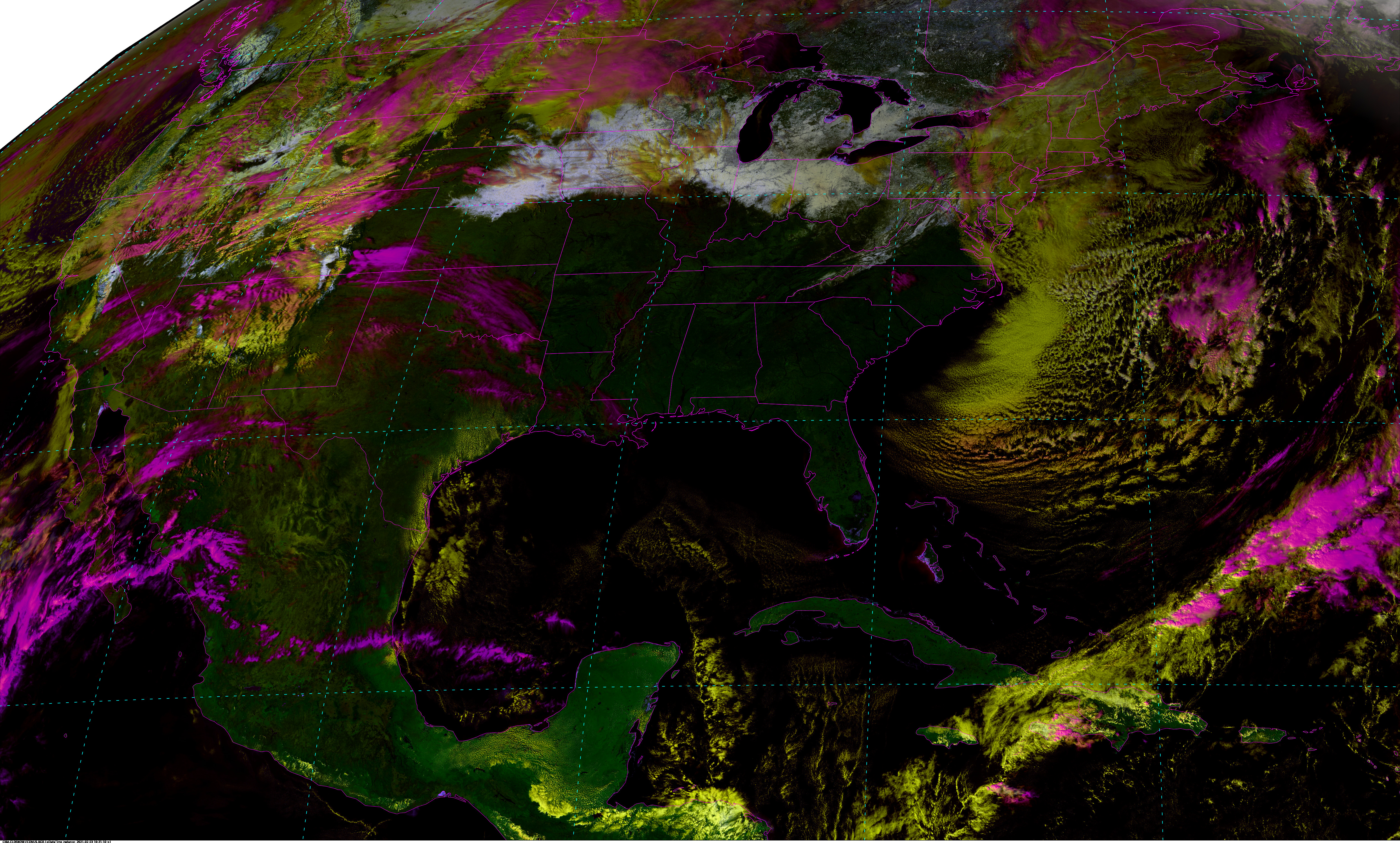
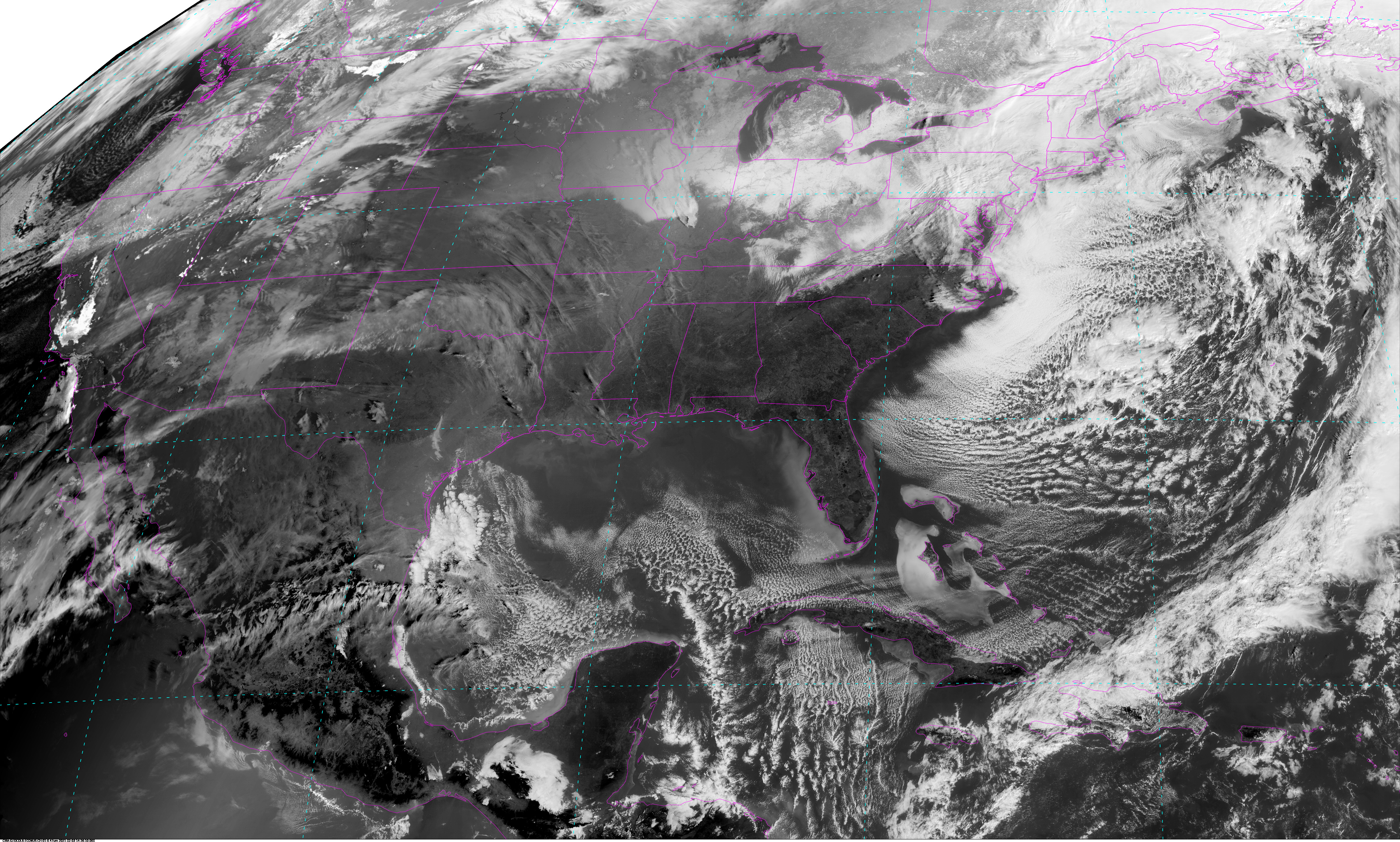
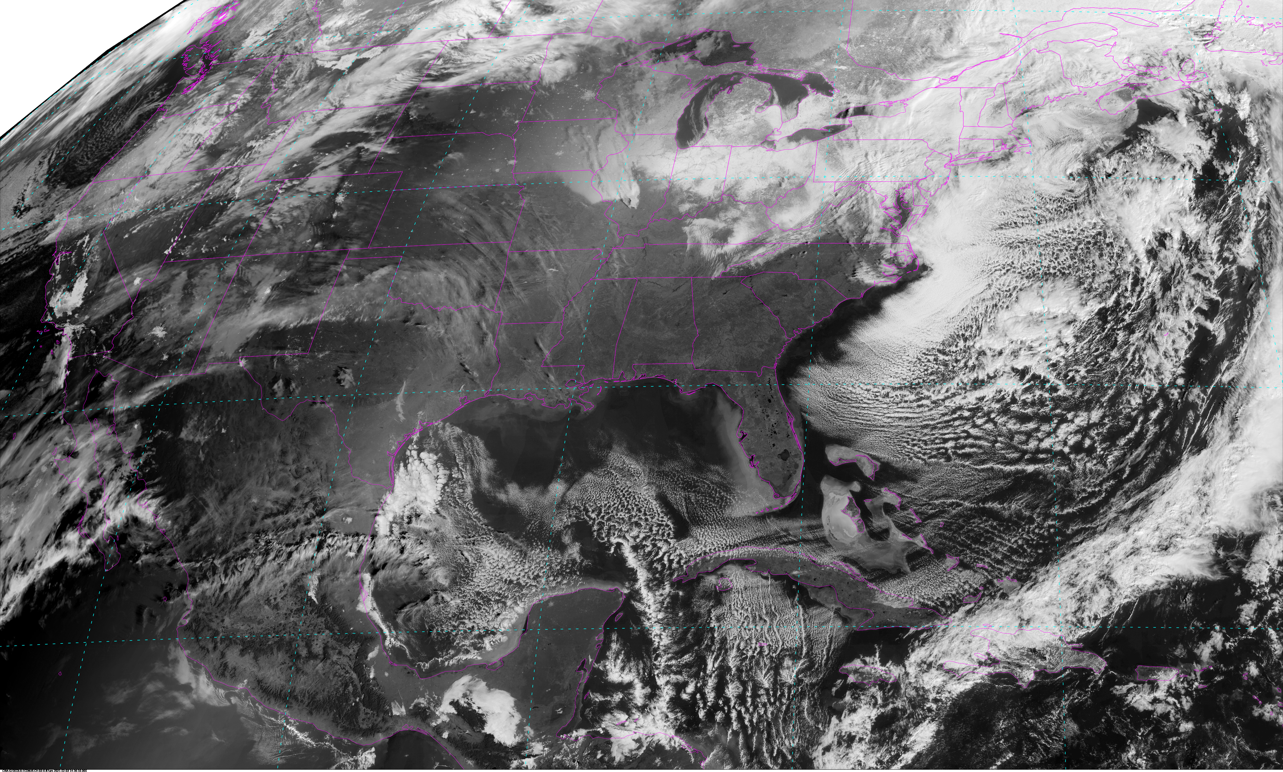
CIRA CLDSNOW East CONUS - 5 minute Update Interval for Mode 3 or 6
Cloud Snow (Ref: AMS Journal of Applied Meteorology and Climatology.
These imagery-based enhancements of snow cover, clouds, and background
use the full spatial resolution capabilities of the sensors onboard
satellites. First developed using color-composite techniques to analyze
cloud/snow fields using the multispectral Earth Observation System
(EOS) Moderate Resolution Imaging Spectroradiometer (MODIS)
daytime observations, this technique was extended to use scans from the
ABI instrument onboard GOES-R series satellites.
|
|
|
|
Example LDM/IDD Product IDs:NB: thumbnails are links to full resolution images which may be LARGE Channel Description Central Lat, Lon Resolution [km] Size [Lines x Elements] --------+--------------------------------------------+-----------------+-----------------+----------------------- Band 1 Cloud Snow Channel 01 East CONUS 30N, 87W 1.00 3000 x 5000 Band 2 Cloud Snow Channel 02 East CONUS 30N, 87W 1.00 3000 x 5000 Band 3 Cloud Snow Channel 03 East CONUS 30N, 87W 1.00 3000 x 5000
/data/ldm/pub/native/satellite/GOES/GOES16/Products/CloudSnow/CONUS/Channel01/20210326/OR_ABI-L2-SNCLC-M3C01_G16_s20210852241140_e20210852241140_c20210852241140.nc
/data/ldm/pub/native/satellite/GOES/GOES16/Products/CloudSnow/CONUS/Channel02/20210326/OR_ABI-L2-SNCLC-M3C02_G16_s20210852241140_e20210852241140_c20210852241140.nc
/data/ldm/pub/native/satellite/GOES/GOES16/Products/CloudSnow/CONUS/Channel03/20210326/OR_ABI-L2-SNCLC-M3C03_G16_s20210852241140_e20210852241140_c20210852241140.nc
Example LDM configuration file REQUEST line:
REQUEST NIMAGE "SNCLC.*G16" upstream_IDD_relay

Example LDM pattern-action file action
Example LDM pattern-action file L2ProdFile.sh script
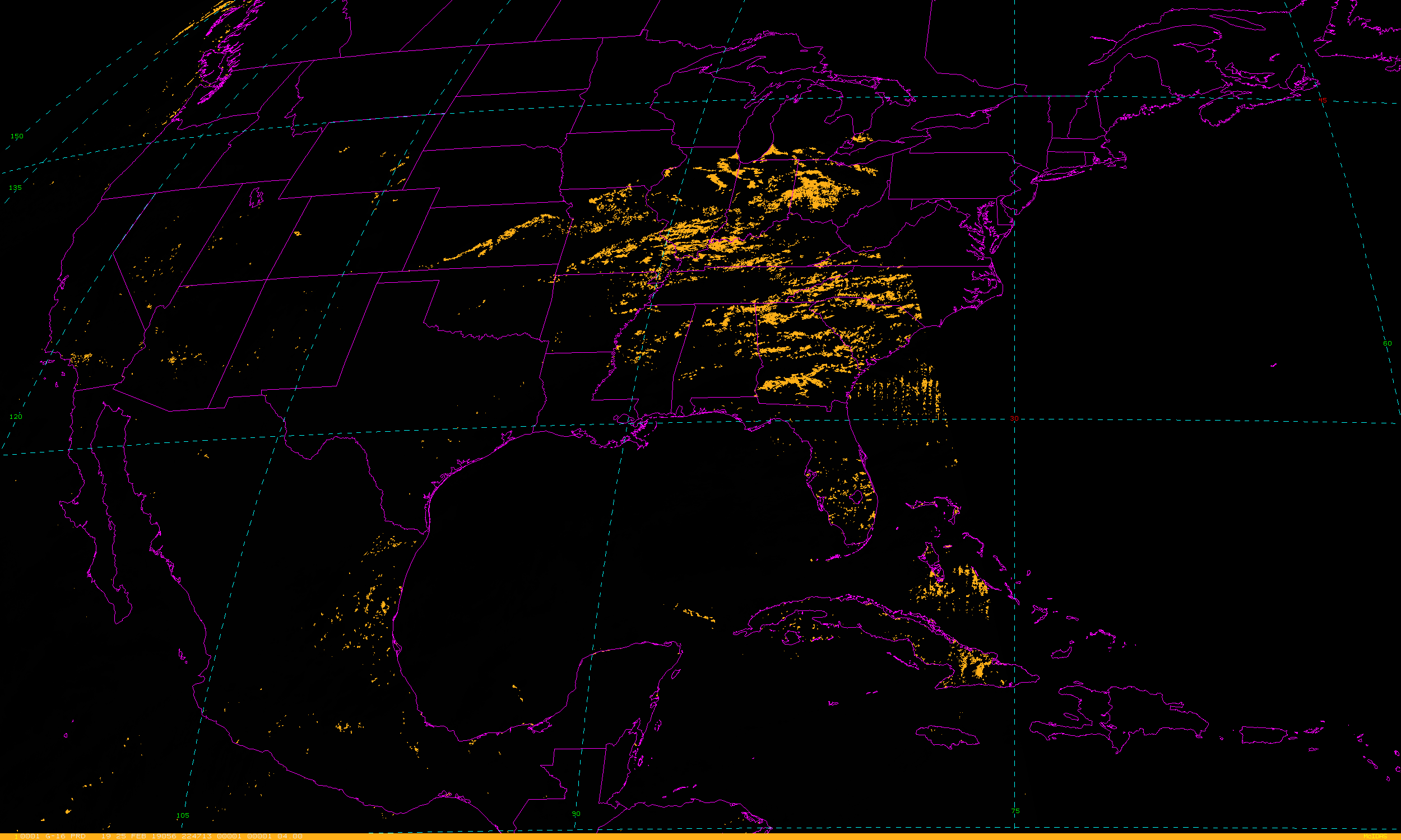
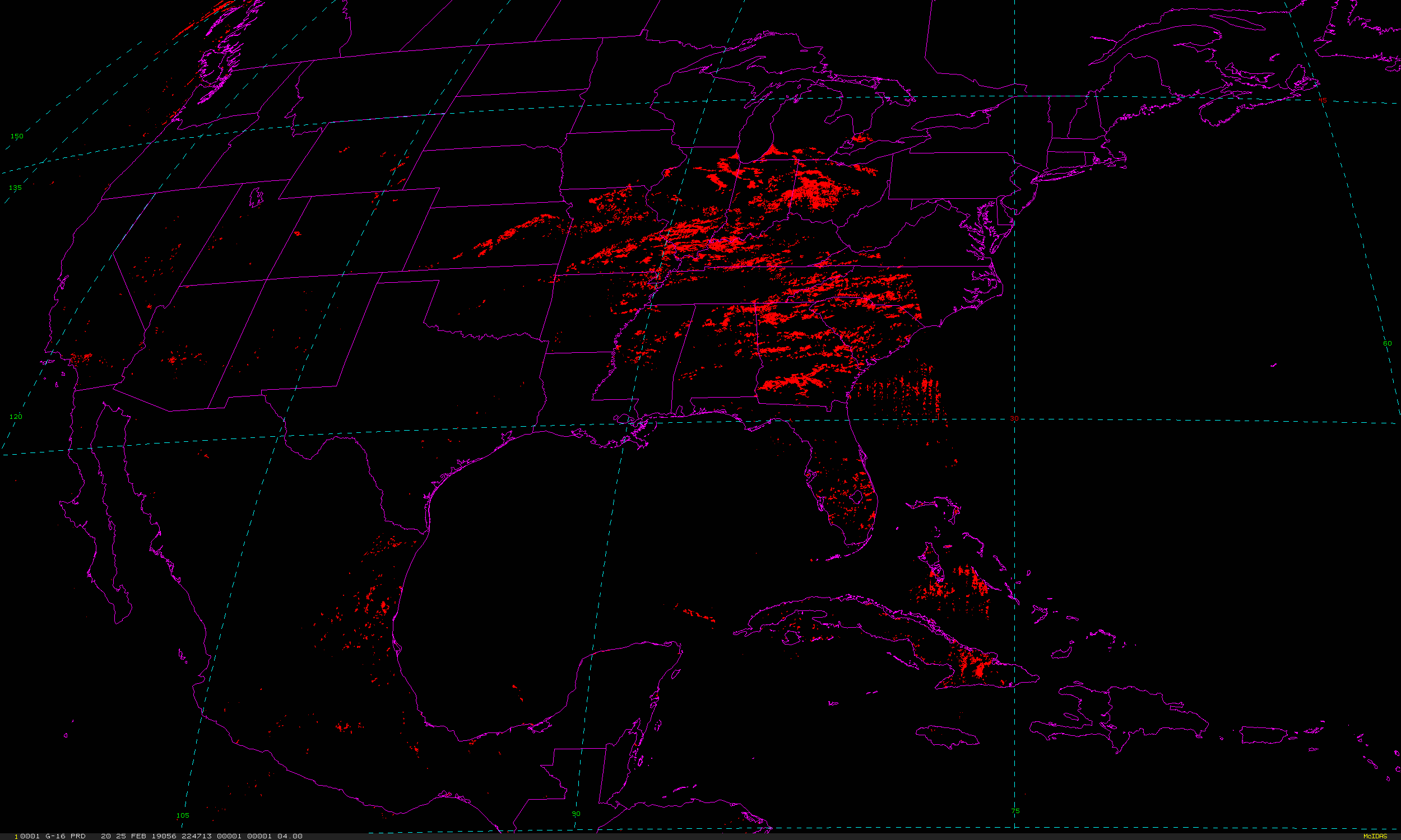
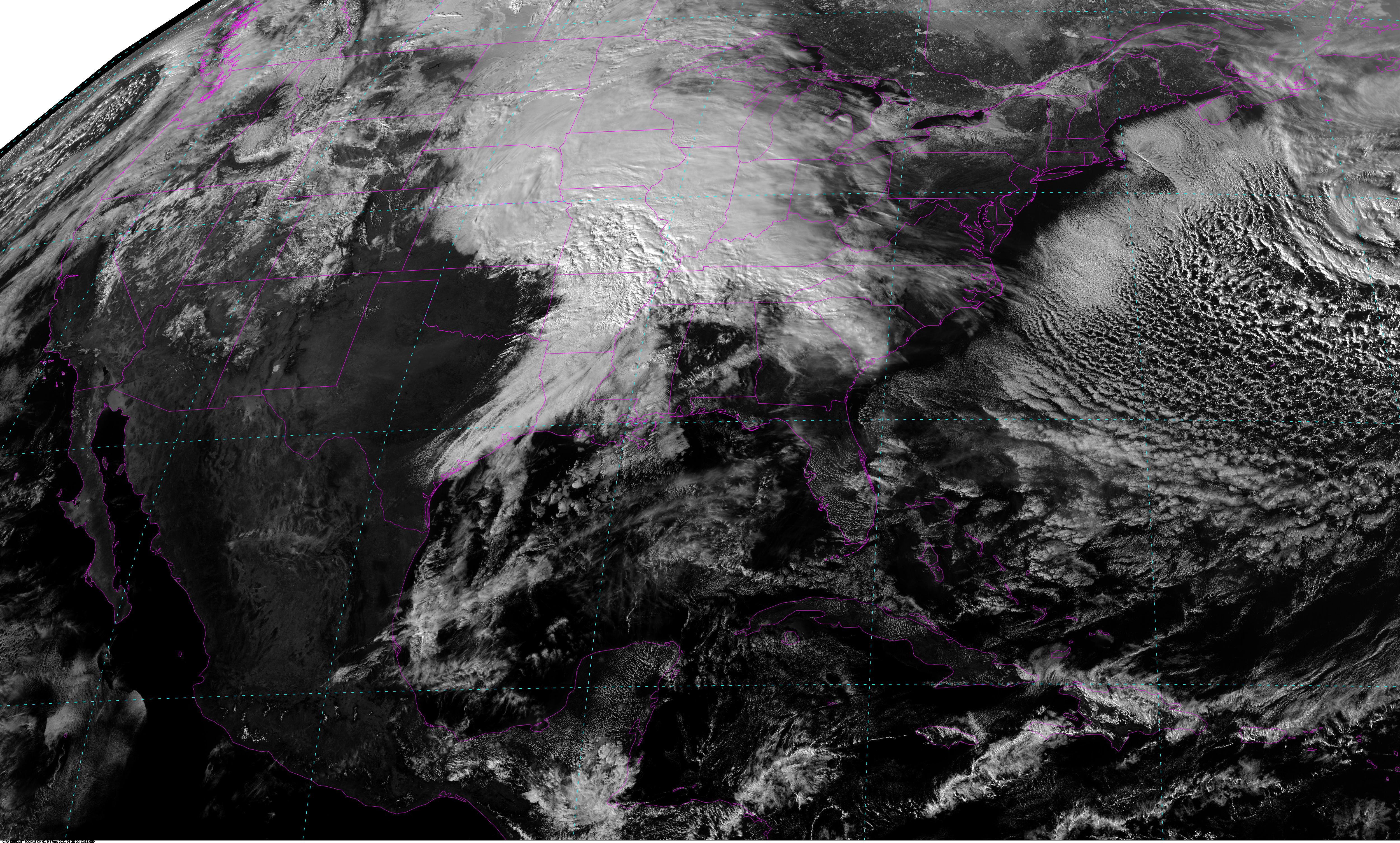
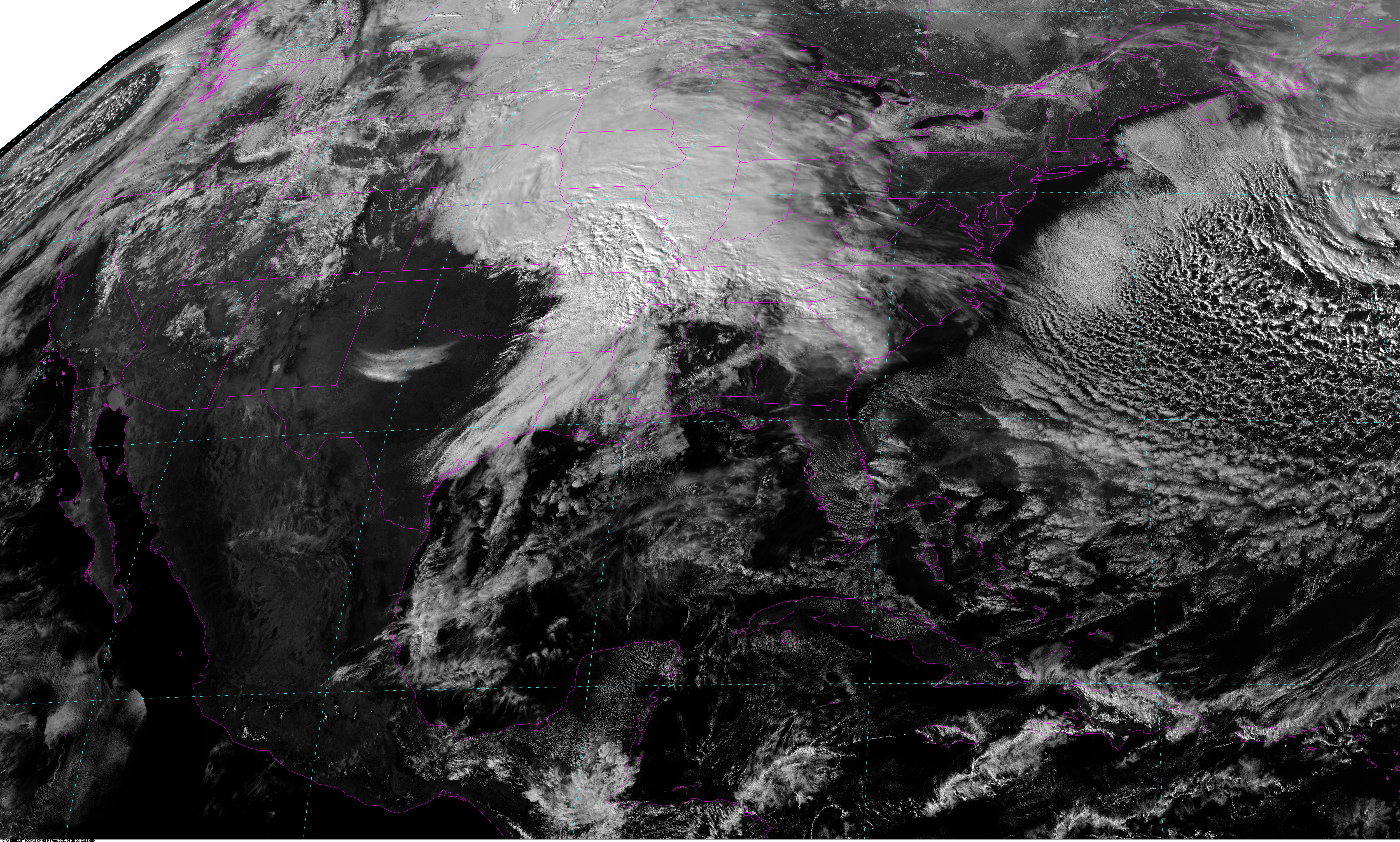
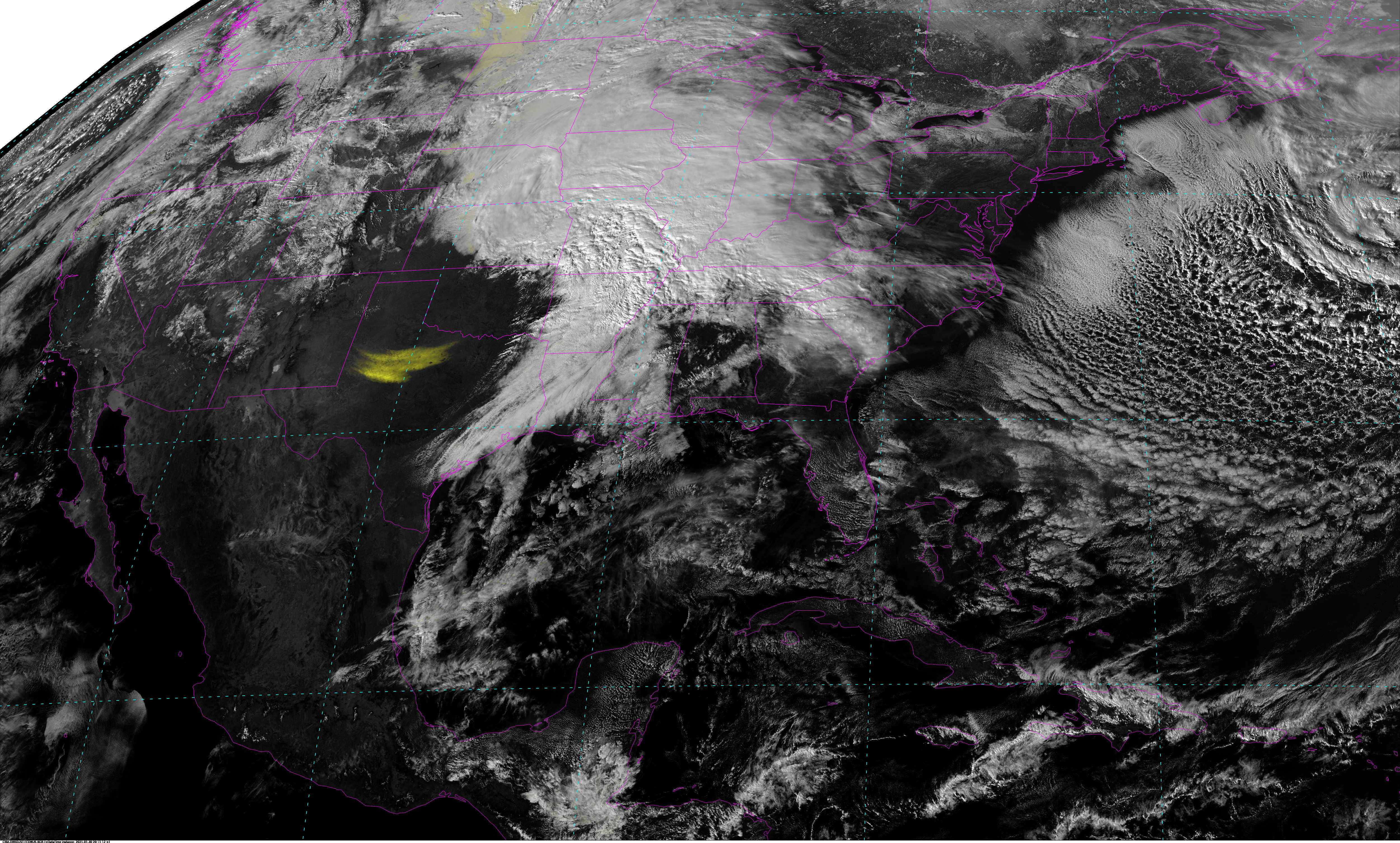
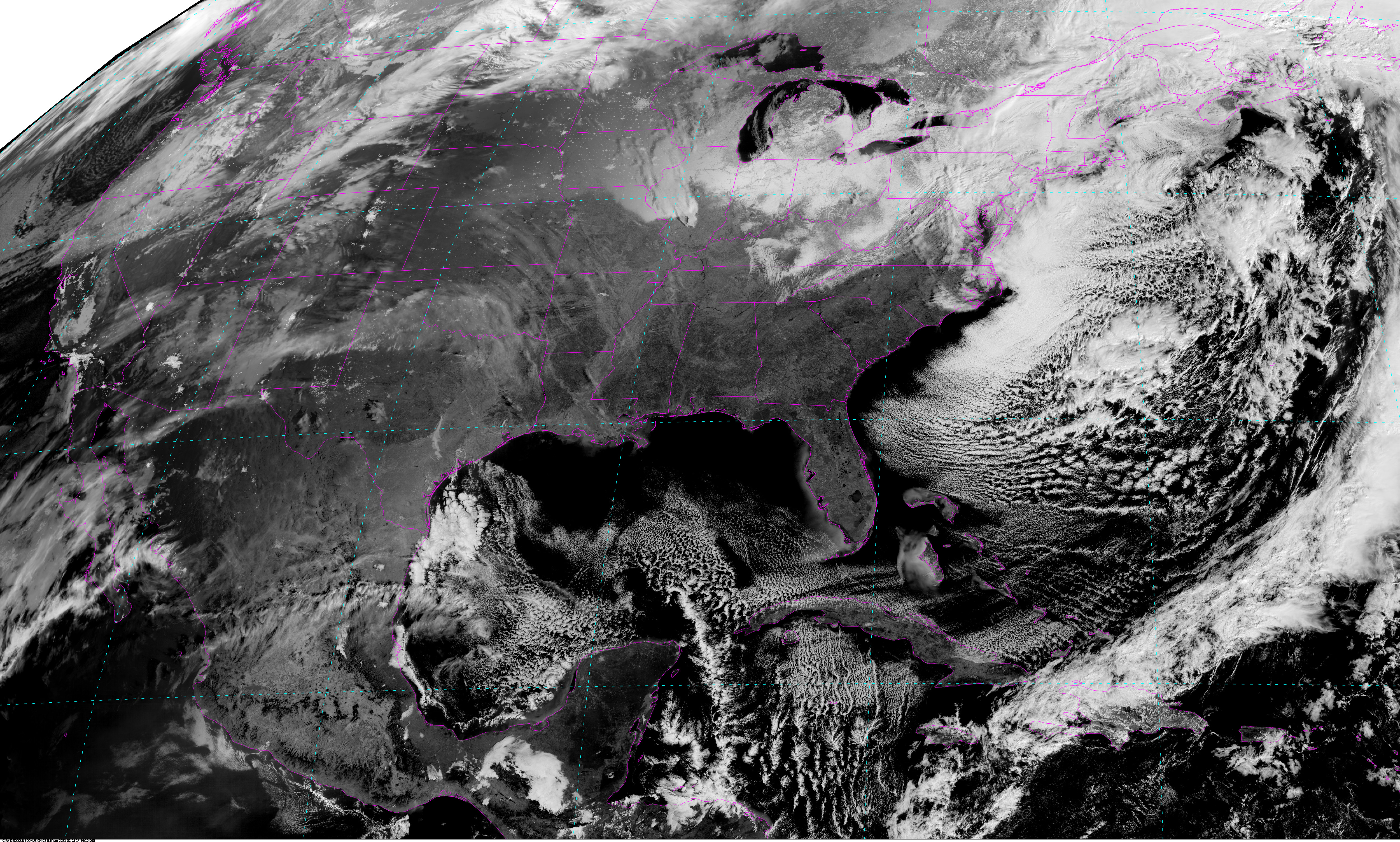
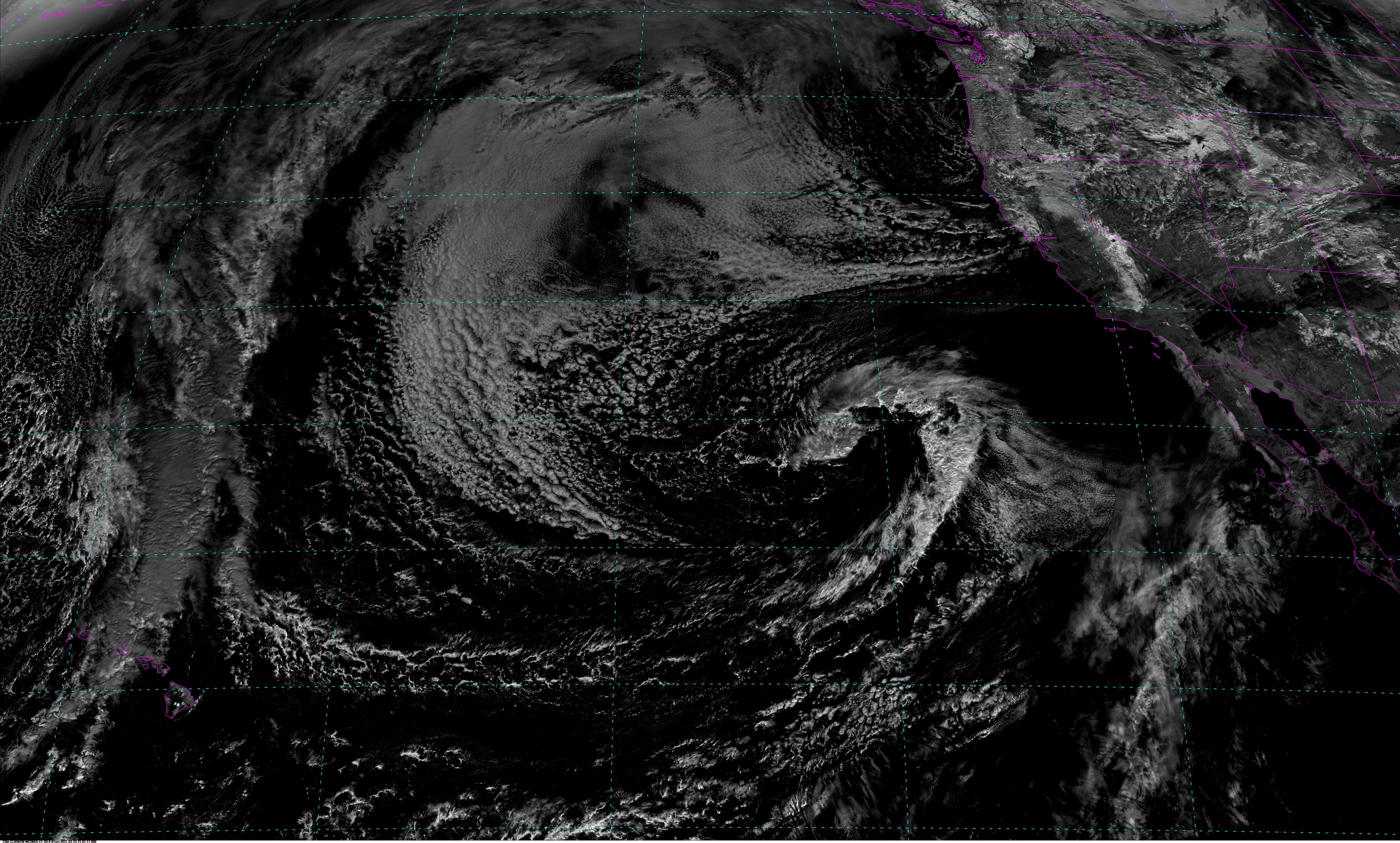
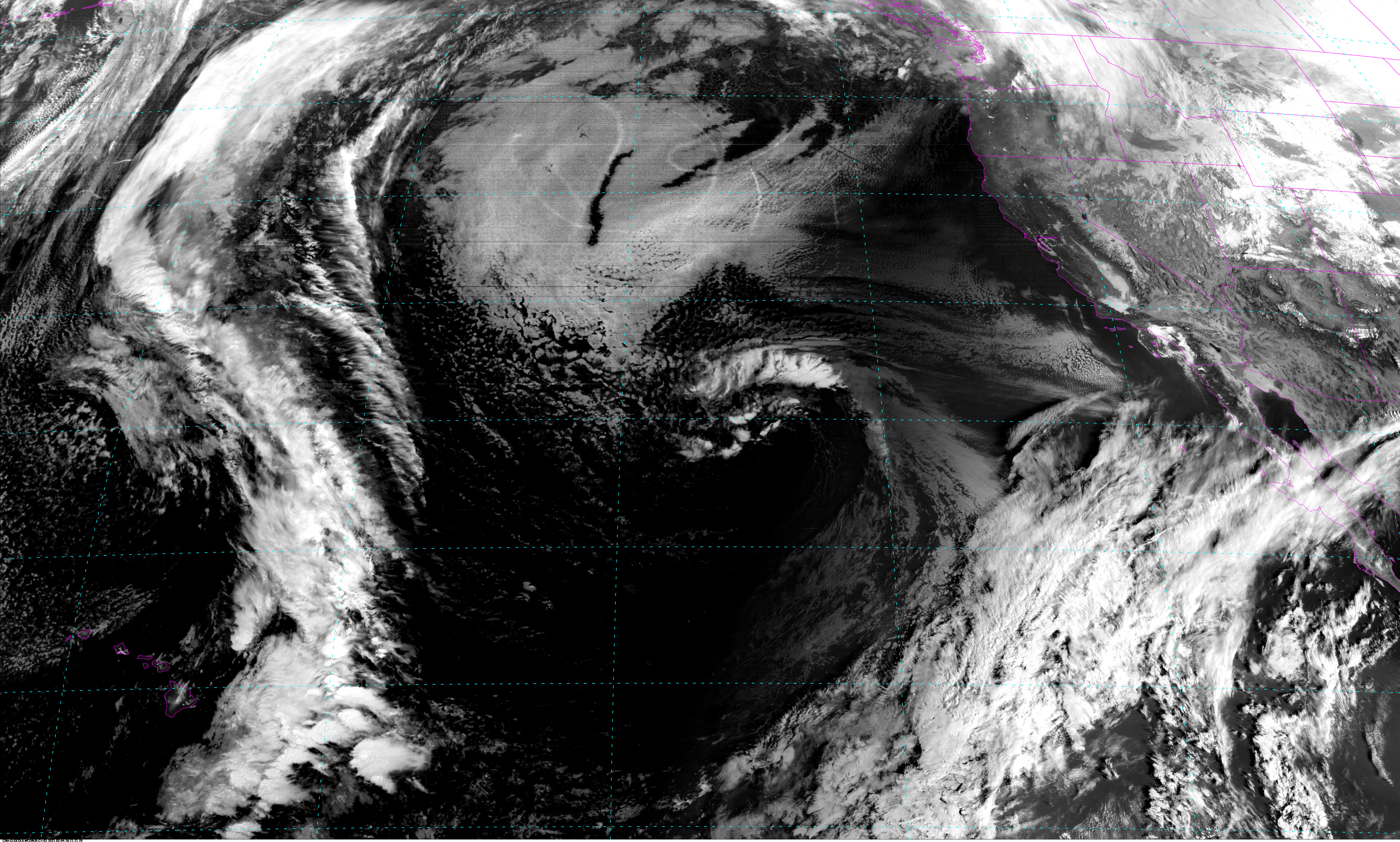
CIRA DRDUST East CONUS - 5 minute Update Interval for Mode 3 or 6
Dynamic Enhancement Background Reduction Algorithm (DEBRA)
(Ref: AGU JGR Atmospheres)
DEBRA is applicable to multispectral satellite imaging radiometers. DEBRA
uses ancillary information about the clear‐sky background to reduce
false detections of atmospheric parameters in complex scenes. In this
application of the detection of lofted dust, DEBRA uses a surface
emissivity database coupled with a climatological database of surface
temperature to approximate the clear‐sky equivalent signal for selected
infrared‐based multispectral dust detection tests.
|

|
|
|
NB: thumbnails are links to full resolution images which may be LARGE

Channel  Description                                  Central Lat, Lon  Resolution [km]   Size [Lines x Elements]
--------+--------------------------------------------+-----------------+-----------------+-----------------------
Band  1  DBR Dust Channel 01 East CONUS                   30N,  87W         1.00              3000 x 5000
Band  2  DBR Dust Channel 02 East CONUS                   30N,  87W         1.00              3000 x 5000
Band  3  DBR Dust Channel 03 East CONUS                   30N,  87W         1.00              3000 x 5000

Example LDM/IDD Product IDs:
/data/ldm/pub/native/satellite/GOES/GOES16/Products/DebraDust/CONUS/Channel01/20210326/OR_ABI-L2-DDSTC-M3C01_G16_s20210850726140_e20210850726140_c20210850726140.nc
/data/ldm/pub/native/satellite/GOES/GOES16/Products/DebraDust/CONUS/Channel02/20210326/OR_ABI-L2-DDSTC-M3C02_G16_s20210850726140_e20210850726140_c20210850726140.nc
/data/ldm/pub/native/satellite/GOES/GOES16/Products/DebraDust/CONUS/Channel03/20210326/OR_ABI-L2-DDSTC-M3C03_G16_s20210850726140_e20210850726140_c20210850726140.nc
Example LDM configuration file REQUEST line:
REQUEST NIMAGE "DDSTC.*G16" upstream_IDD_relay

Example LDM pattern-action file action
Example LDM pattern-action file L2ProdFile.sh script
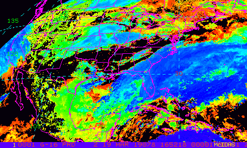
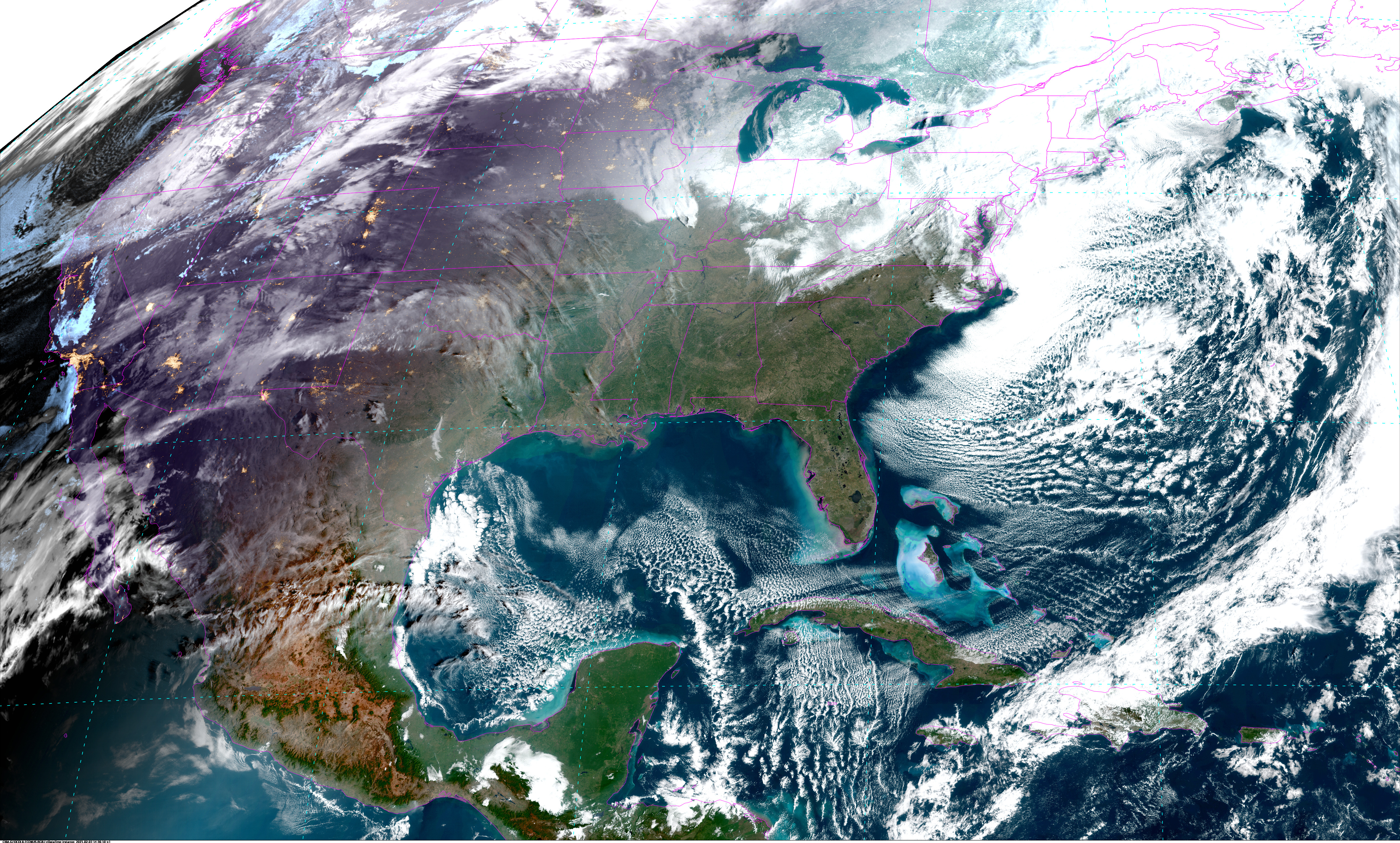
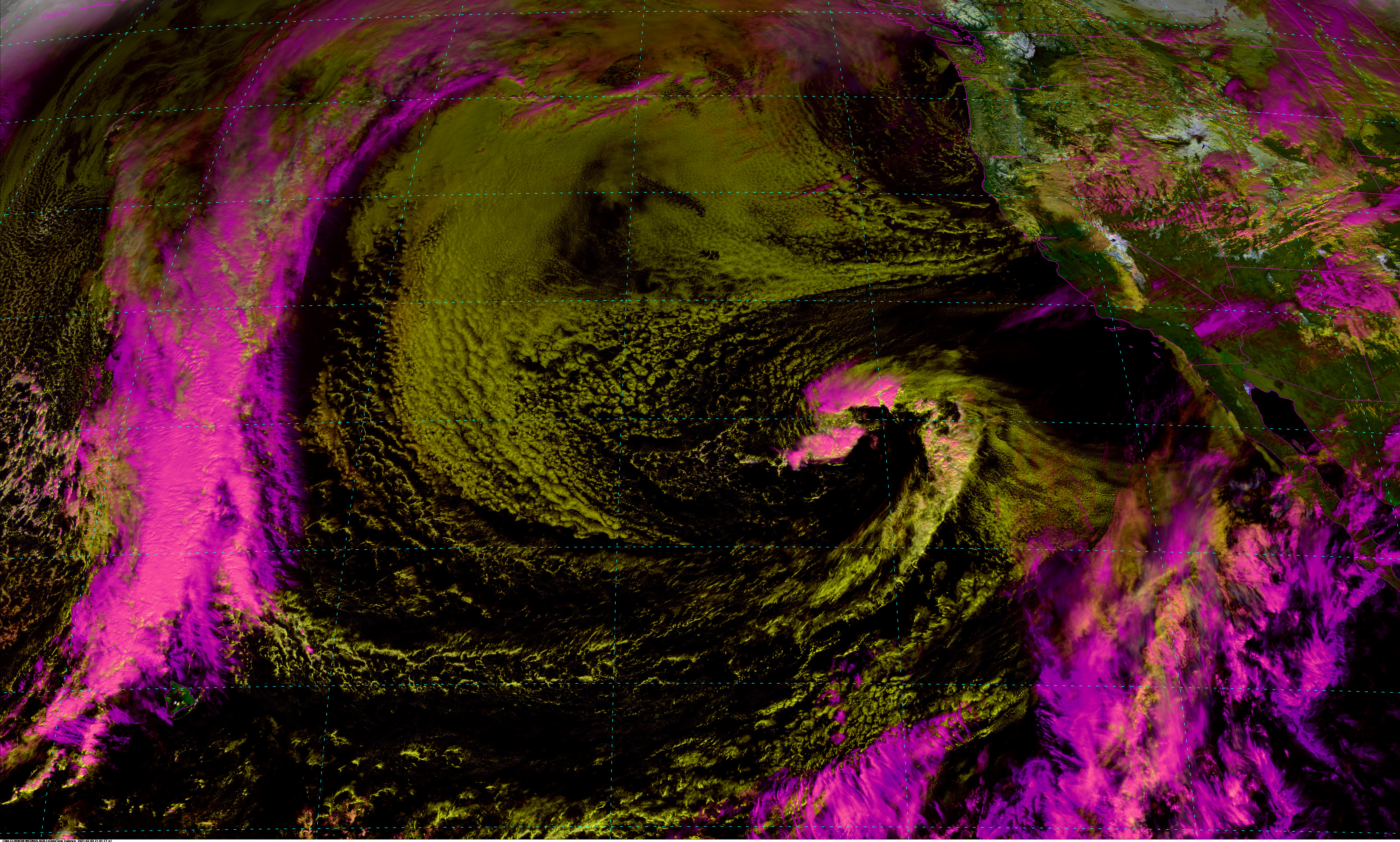
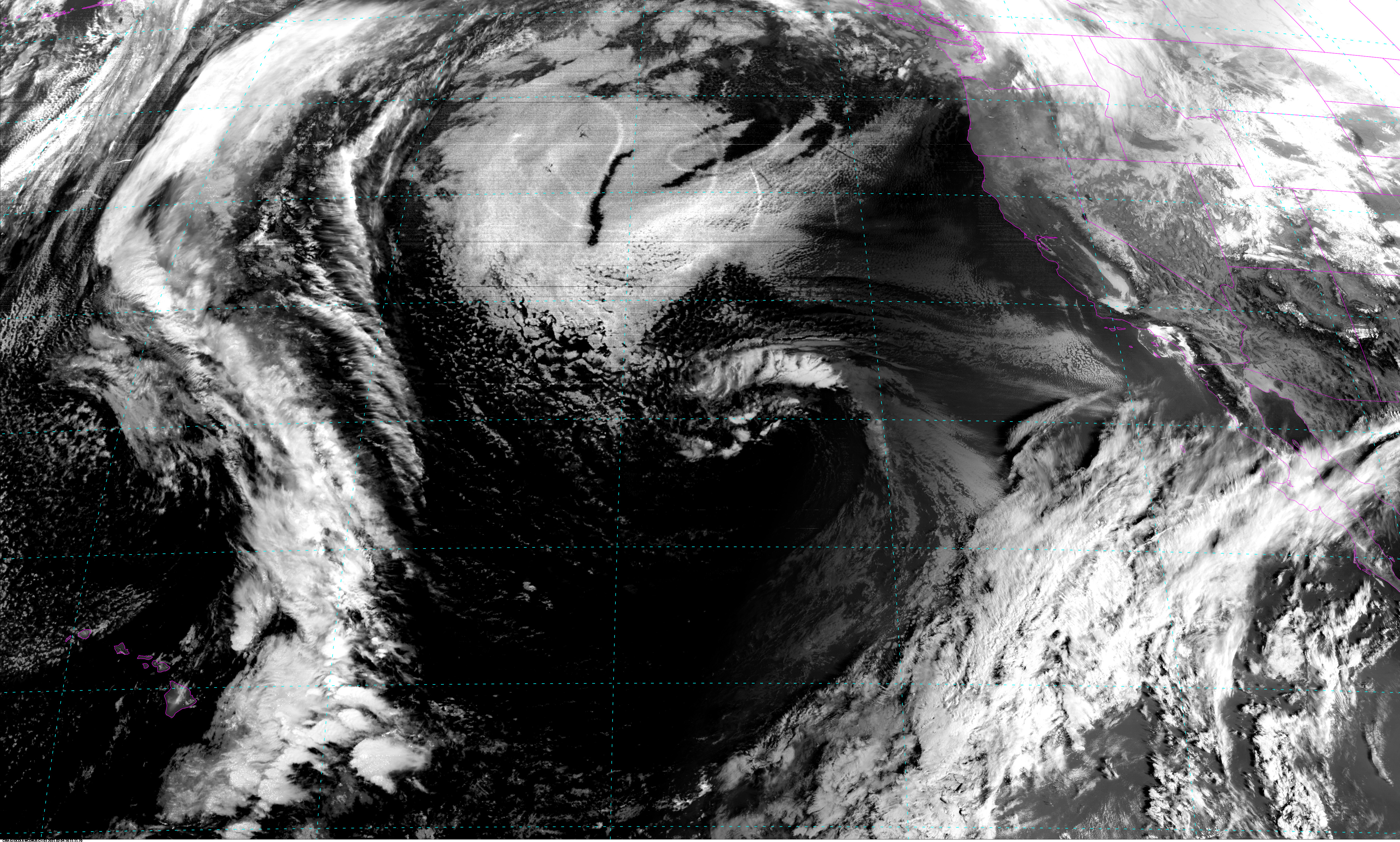
CIRA GEOCOL East CONUS - 5 minute Update Interval for Mode 3 or 6
GeoColor: A Blending Technique for Satellite Imagery
(AMS Journal of Atmospheric and Oceanic Technology)
GeoColor is an application of the technique of dynamic blended imagery,
based on spatially variant transparency factors whose values are tied to
algorithmically isolated parameters. These images are an application
of Geostationary Operational Environmental Satellite R (GOES-R) series
Advanced Baseline Imager (ABI) images supporting operational forecasting
and used widely in public communication of weather information.
|
|
|
|
NB: thumbnails are links to full resolution images which may be LARGE

Channel  Description                                  Central Lat, Lon  Resolution [km]   Size [Lines x Elements]
--------+--------------------------------------------+-----------------+-----------------+-----------------------
Band  1  GeoColor Channel 01 East CONUS                   30N,  87W         1.00              3000 x 5000
Band  2  GeoColor Channel 02 East CONUS                   30N,  87W         1.00              3000 x 5000
Band  3  GeoColor Channel 03 East CONUS                   30N,  87W         1.00              3000 x 5000

Example LDM/IDD Product IDs:
/data/ldm/pub/native/satellite/GOES/GOES16/Products/GeoColor/CONUS/Channel01/20210326/OR_ABI-L2-GEOCC-M3C01_G16_s20210852306140_e20210852306140_c20210852306140.nc
/data/ldm/pub/native/satellite/GOES/GOES16/Products/GeoColor/CONUS/Channel02/20210326/OR_ABI-L2-GEOCC-M3C02_G16_s20210852306140_e20210852306140_c20210852306140.nc
/data/ldm/pub/native/satellite/GOES/GOES16/Products/GeoColor/CONUS/Channel03/20210326/OR_ABI-L2-GEOCC-M3C03_G16_s20210852306140_e20210852306140_c20210852306140.nc
Example LDM configuration file REQUEST line:
REQUEST NIMAGE "GEOCC.*G16" upstream_IDD_relay

Example LDM pattern-action file action
Example LDM pattern-action file L2ProdFile.sh script
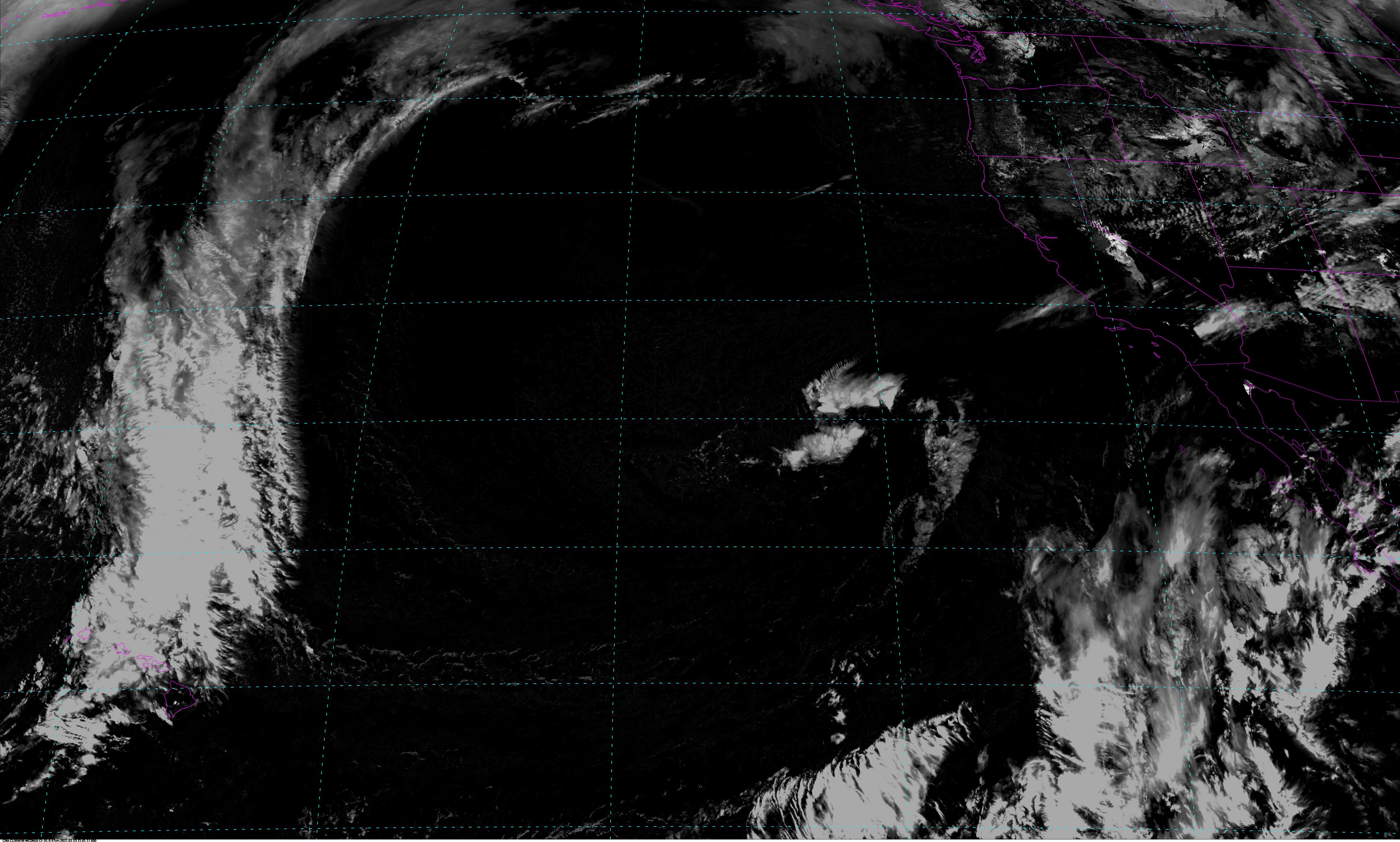
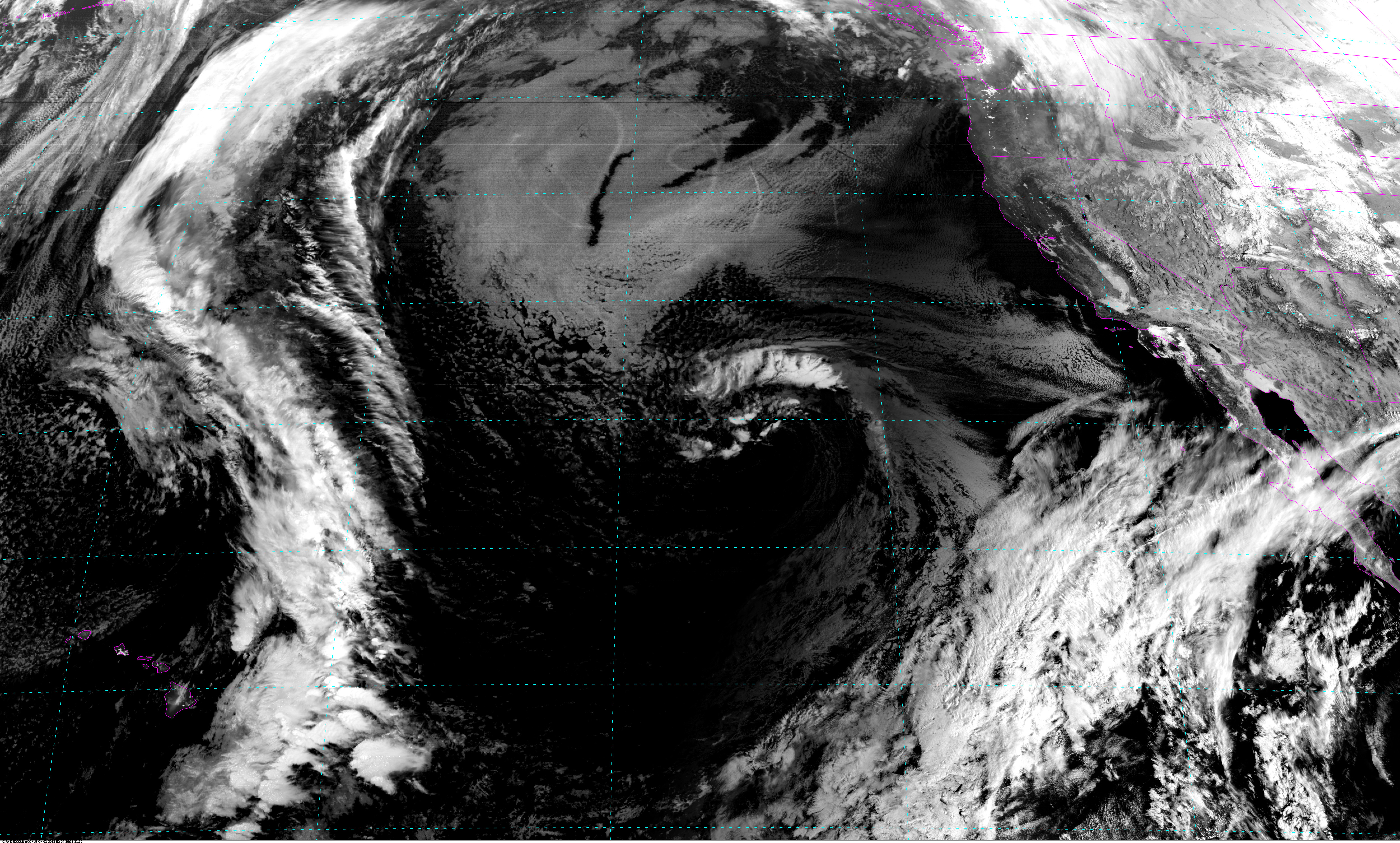
CIRA CLDSNOW West CONUS - 5 minute Update Interval for Mode 3 or 6
Cloud Snow (AMS Journal of Applied Meteorology and Climatology.
These imagery-based enhancements of snow cover, clouds, and background
use the full spatial resolution capabilities of the sensors onboard
satellites. First developed using color-composite techniques to analyze
cloud/snow fields using the multispectral Earth Observation System
(EOS) Moderate Resolution Imaging Spectroradiometer (MODIS)
daytime observations, this technique was extended to use scans from the
ABI instrument onboard GOES-R series satellites.
|
|
|
|
NB: thumbnails are links to full resolution images which may be LARGE

Channel  Description                                  Central Lat, Lon  Resolution [km]   Size [Lines x Elements]
--------+--------------------------------------------+-----------------+-----------------+-----------------------
Band  1  Cloud Snow Channel 01 West CONUS                30N, 137W         1.00              3000 x 5000
Band  2  Cloud Snow Channel 02 West CONUS                30N, 137W         1.00              3000 x 5000
Band  3  Cloud Snow Channel 03 West CONUS                30N, 137W         1.00              3000 x 5000

Example LDM/IDD Product IDs:
/data/ldm/pub/native/satellite/GOES/GOES17/Products/CloudSnow/CONUS/Channel01/20210327/OR_ABI-L2-SNCLC-M3C01_G17_s20210861456170_e20210861456170_c20210861456170.nc
/data/ldm/pub/native/satellite/GOES/GOES17/Products/CloudSnow/CONUS/Channel02/20210327/OR_ABI-L2-SNCLC-M3C02_G17_s20210861456170_e20210861456170_c20210861456170.nc
/data/ldm/pub/native/satellite/GOES/GOES17/Products/CloudSnow/CONUS/Channel03/20210327/OR_ABI-L2-SNCLC-M3C03_G17_s20210861456170_e20210861456170_c20210861456170.nc
Example LDM configuration file REQUEST line:
REQUEST NIMAGE "SNCLC.*G17" upstream_IDD_relay

Example LDM pattern-action file action
Example LDM pattern-action file L2ProdFile.sh script
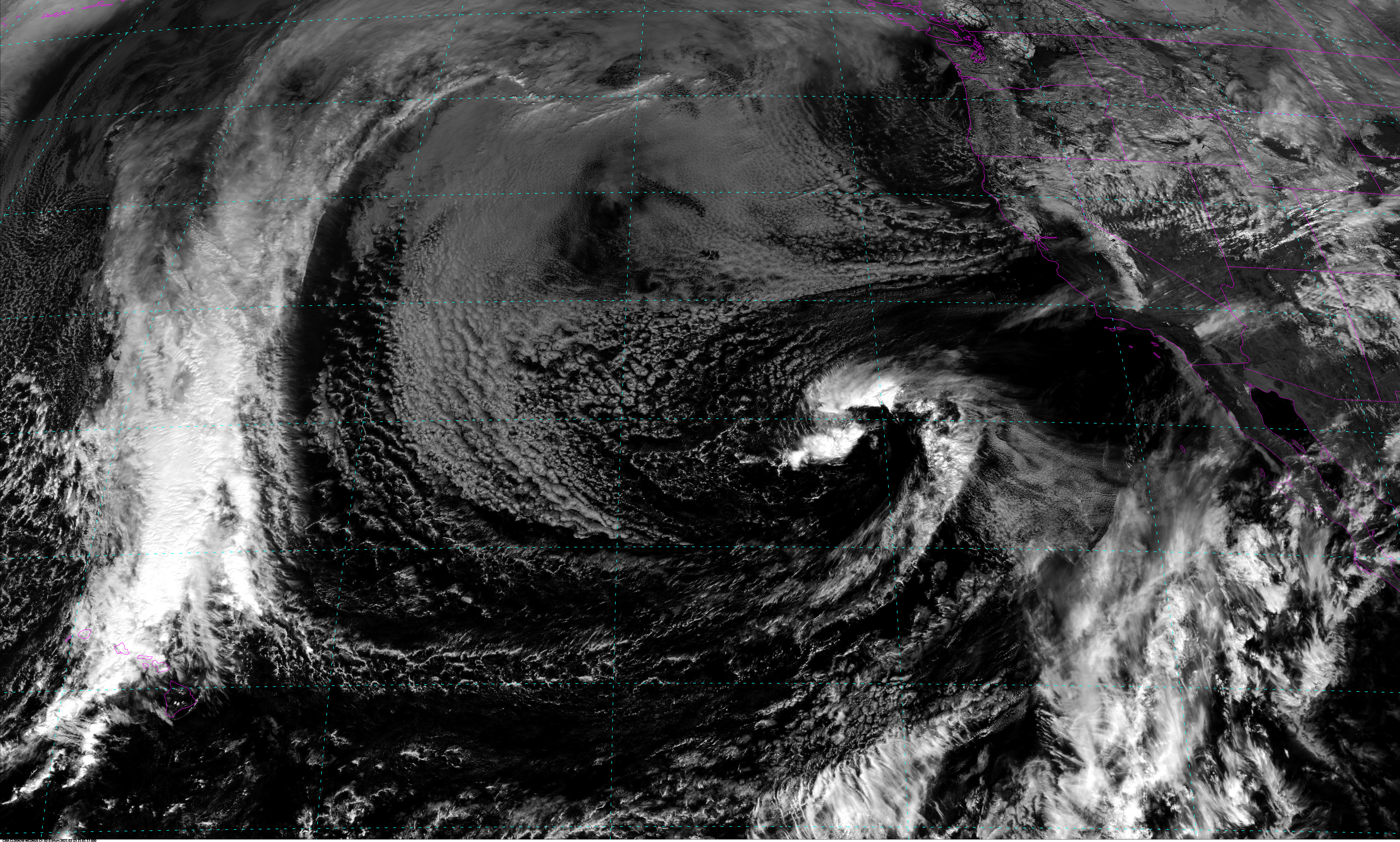
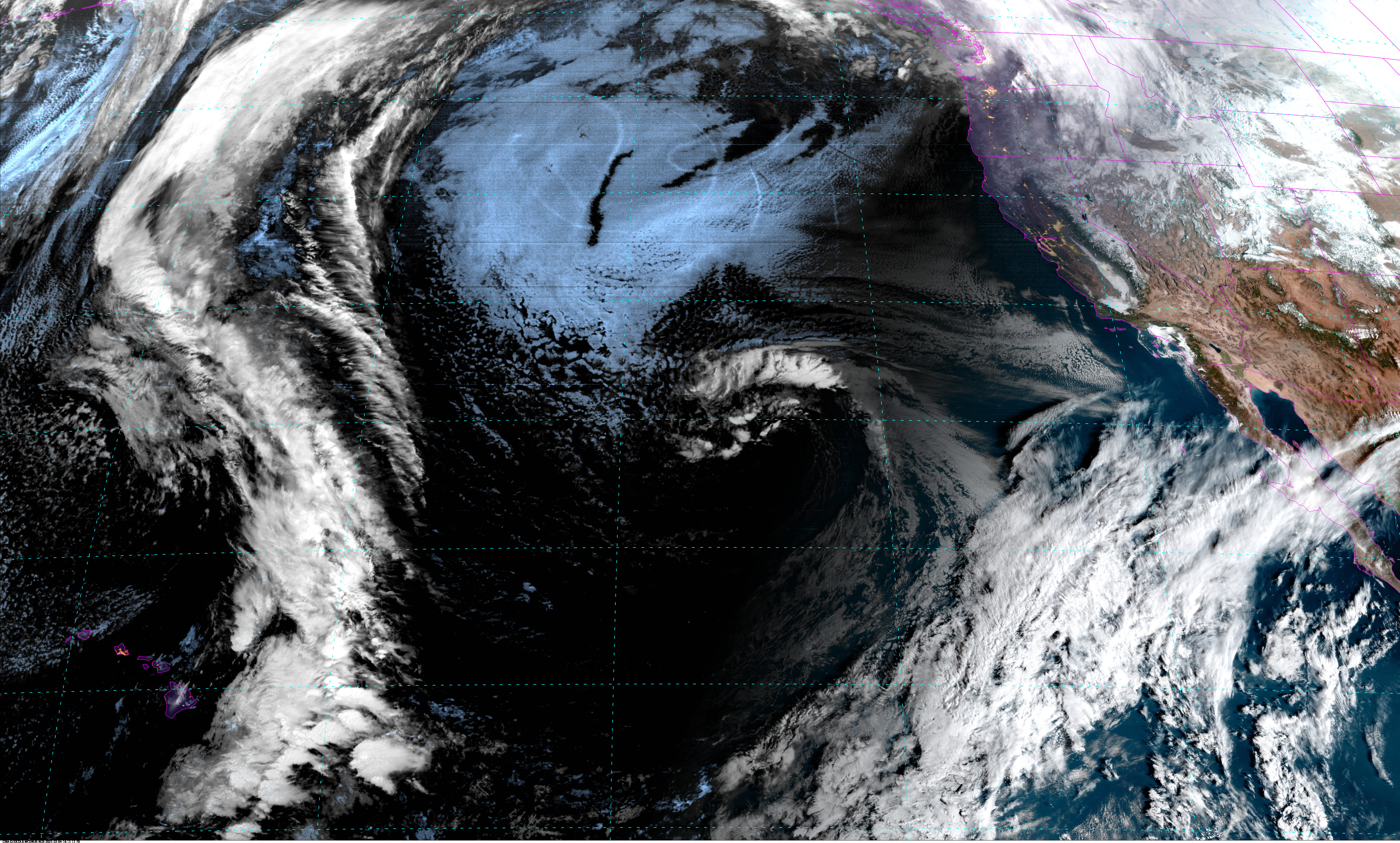
CIRA GEOCOL West CONUS - 5 minute Update Interval for Mode 3 or 6
GeoColor: A Blending Technique for Satellite Imagery (AMS Journal of Atmospheric and Oceanic Technology)
GeoColor is an application of the technique of dynamic blended imagery, based on spatially variant transparency factors whose values are tied to algorithmically isolated parameters. These images are an application of Geostationary Operational Environmental Satellite R (GOES-R) series Advanced Baseline Imager (ABI) images supporting operational forecasting and used widely in public communication of weather information.
|
|
|
|
NB: thumbnails are links to full resolution images which may be LARGE

Channel  Description                                  Central Lat, Lon  Resolution [km]   Size [Lines x Elements]
--------+--------------------------------------------+-----------------+-----------------+-----------------------
Band  1  GeoColor Channel 01 West CONUS                   30N, 137W         0.50              6000 x10000
Band  2  GeoColor Channel 02 West CONUS                   30N, 137W         0.50              6000 x10000
Band  3  GeoColor Channel 03 West CONUS                   30N, 137W         0.50              6000 x10000

Example LDM/IDD Product IDs:
/data/ldm/pub/native/satellite/GOES/GOES17/Products/GeoColor/CONUS/Channel01/20210327/OR_ABI-L2-GEOCC-M3C01_G17_s20210861501170_e20210861501170_c20210861501170.nc
/data/ldm/pub/native/satellite/GOES/GOES17/Products/GeoColor/CONUS/Channel02/20210327/OR_ABI-L2-GEOCC-M3C02_G17_s20210861501170_e20210861501170_c20210861501170.nc
/data/ldm/pub/native/satellite/GOES/GOES17/Products/GeoColor/CONUS/Channel03/20210327/OR_ABI-L2-GEOCC-M3C03_G17_s20210861501170_e20210861501170_c20210861501170.nc
Example LDM configuration file REQUEST line:
REQUEST NIMAGE "GEOCC.*G17" upstream_IDD_relay

Example LDM pattern-action file action
Example LDM pattern-action file L2ProdFile.sh script
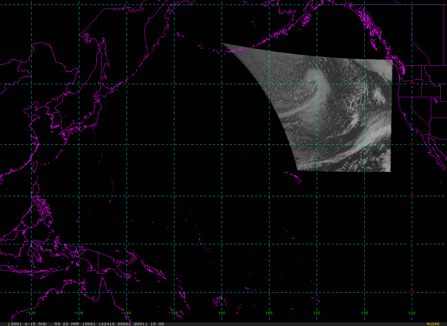
Instrument  Description
-----------+------------------------------------------------------------------
GVAR        GOES VARiable - 5 imager wavelength channels
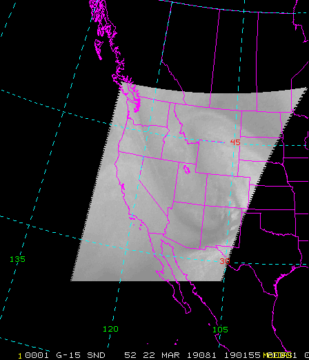
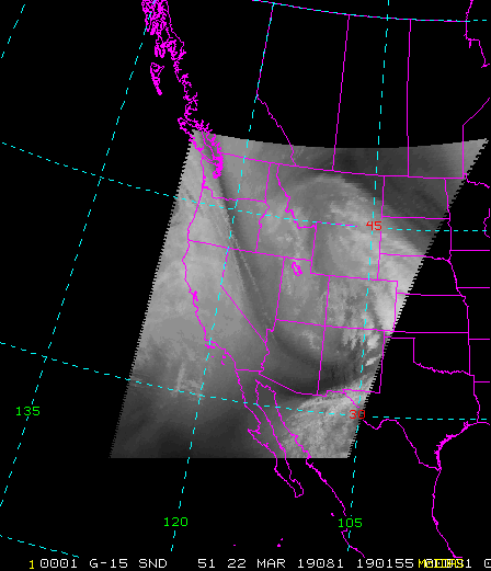
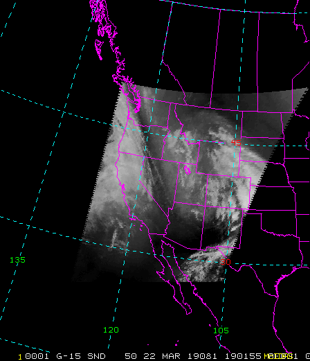
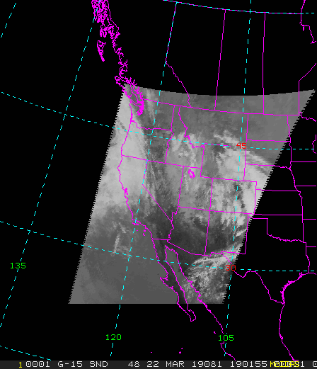
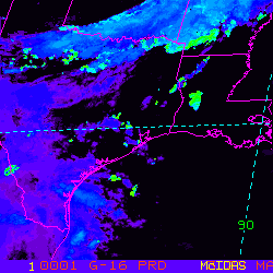
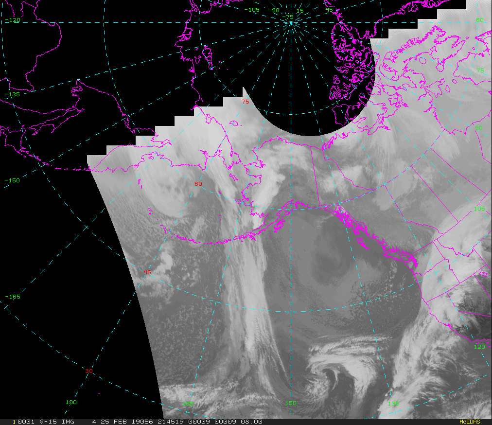
West CONUS - Update Interval varies by product
NB: thumbnails are links to full resolution images which may be LARGE

Channel  Description                                  Central Lat, Lon  Resolution [km]   Size [Lines x Elements]
--------+--------------------------------------------+-----------------+-----------------+-----------------------
Band  1  0.62 um VIS Cloud and Surface Feature            39N, 117W         1.00              5120 x 4400
Band  2  3.9 um IR Low Cloud/Fog,Fire Detection           39N, 118W         4.00              1280 x 1100
Band  3  6.5 um IR Mid-level Water Vapor                  39N, 118W         4.00              1280 x 1100
Band  4  10.7 um IR Surface/Cloud-top Temp                39N, 118W         4.00              1280 x 1100
Band  6  13.3 um IR CO2, Cloud Heights                    39N, 118W         4.00              1280 x 1100
Band  X  1 km Low Cloud Base Product                      39N, 118W         4.00              1280 x 1100
Sounder - VIS                                             39N, 118W         9.70               521 x  448
Sounder - 3.98 um                                         39N, 118W         9.70               521 x  448
Sounder - 4.45 um                                         39N, 118W         9.70               521 x  448
Sounder - 6.51 um                                         39N, 118W         9.70               521 x  448
Sounder - 7.02 um                                         39N, 118W         9.70               521 x  448
Sounder - 7.43 um                                         39N, 118W         9.70               521 x  448
Sounder - 11.03 um                                        39N, 118W         9.70               521 x  448
Sounder - 14.06 um                                        39N, 118W         9.70               521 x  448

Example LDM/IDD Product ID:s
satz/ch2/GOES-15/VIS/20190321 1700/WEST-CONUS/1km/ TIGW01 KNES 211700
satz/ch2/GOES-15/3.9/20190321 1700/WEST-CONUS/4km/ TIGW04 KNES 211700
satz/ch2/GOES-15/WV/20190321 1700/WEST-CONUS/4km/ TIGW05 KNES 211700
satz/ch2/GOES-15/IR/20190321 1700/WEST-CONUS/4km/ TIGW02 KNES 211700
satz/ch2/GOES-15/13.3/20190321 1700/WEST-CONUS/4km/ TIGW06 KNES 211700
satz/ch2/GOES-15/SOUND-VIS/20190322 1901/WEST-CONUS/10km/ TIGW59 KNES 221901
satz/ch2/GOES-15/SOUND-4.45/20190322 1901/WEST-CONUS/10km/ TIGW55 KNES 221901
satz/ch2/GOES-15/SOUND-3.98/20190322 1901/WEST-CONUS/10km/ TIGW57 KNES 221901
satz/ch2/GOES-15/SOUND-6.51/20190322 1901/WEST-CONUS/10km/ TIGW52 KNES 221901
satz/ch2/GOES-15/SOUND-7.02/20190322 1901/WEST-CONUS/10km/ TIGW51 KNES 221901
satz/ch2/GOES-15/SOUND-7.43/20190322 1901/WEST-CONUS/10km/ TIGW50 KNES 221901
satz/ch2/GOES-15/SOUND-11.03/20190322 1901/WEST-CONUS/10km/ TIGW48 KNES 221901
satz/ch2/GOES-15/SOUND-14.06/20190322 1901/WEST-CONUS/10km/ TIGW43 KNES 221901
Example LDM configuration file REQUEST line:
REQUEST NIMAGE "WEST-CONUS" upstream_IDD_relay

Example LDM pattern-action file action
Example LDM pattern-action file ldmfile.sh script
Super National - Update Interval varies by product
NB: thumbnails are links to full resolution images which may be LARGE

Channel  Description                                  Central Lat, Lon  Resolution [km]   Size [Lines x Elements]
--------+--------------------------------------------+-----------------+-----------------+-----------------------
Band  1  0.62 um VIS Cloud and Surface Feature            50N, 105W         7.50              1008 x 1536
Band  2  3.9 um IR Low Cloud/Fog,Fire Detection           50N, 105W         7.50              1008 x 1536
Band  4  10.7 um IR Surface/Cloud-top Temp                50N, 105W         7.50              1008 x 1536
Band  X  Sounder Cloud Product                            50N, 105W         7.50              1008 x 1536
Band  X  Sounder Cloud Top Pressure Product               50N, 105W         7.50              1008 x 1536
Band  X  Sounder Lifted Index Product                     50N, 105W         7.50              1008 x 1536
Band  X  Sounder Rainfall Rate Product                    50N, 105W        15.00               504 x  768
Band  X  Sounder Precipitable Water Product               50N, 105W         7.50              1008 x 1536
Band  X  Sounder Surface Skin Temperature Product         50N, 105W         7.50              1008 x 1536
Band  X  Sounder Total Precipitable Water Product         50N, 105W        15.00               504 x  768

Example LDM/IDD Product IDs:
satz/ch2/GOES-15/VIS/20190321 1630/SUPER-NATIONAL/8km/ TIGN01 KNES 211630
satz/ch2/GOES-15/WV/20190321 1630/SUPER-NATIONAL/8km/ TIGN05 KNES 211630
satz/ch2/GOES-15/IR/20190321 1630/SUPER-NATIONAL/8km/ TIGN02 KNES 211630
satz/ch1/COMP/CLD/20190321 1600/SUPER-NATIONAL/1km/ TIGN28 KNES 211600
satz/ch1/COMP/CTP/20190321 1600/SUPER-NATIONAL/1km/ TIGN27 KNES 211600
satz/ch1/COMP/LI/20190321 1600/SUPER-NATIONAL/1km/ TIGN16 KNES 211600
satz/ch1/POES/PRXX/20190321 1426/SUPER-NATIONAL/1km/ TITN29 KNES 211426
satz/ch1/COMP/PW/20190321 1600/SUPER-NATIONAL/1km/ TIGN17 KNES 211600
satz/ch1/COMP/SFC-T/20190321 1600/SUPER-NATIONAL/1km/ TIGN18 KNES 211600
satz/ch1/MISC/60/20190321 1521/SUPER-NATIONAL/1km/ TICN60 KNES 211521
Example LDM configuration file REQUEST line:
REQUEST NIMAGE "SUPER-NATIONAL" upstream_IDD_relay

Example LDM pattern-action file action
Example LDM pattern-action file ldmfile.sh script
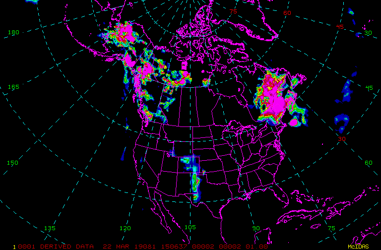
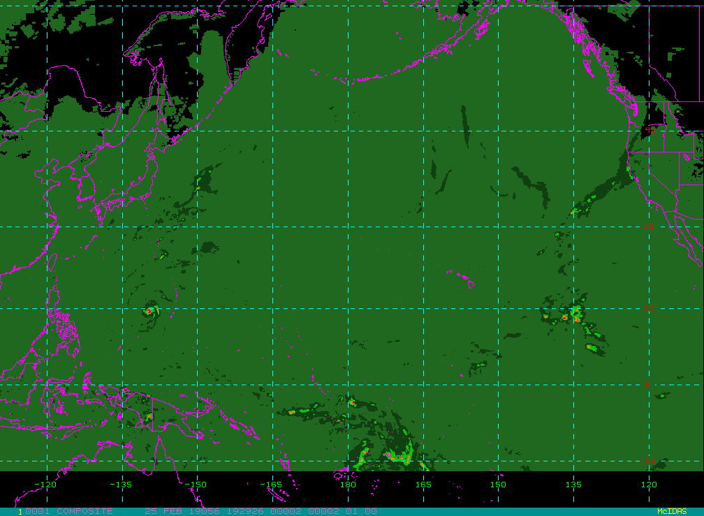
Composites - Update Interval varies by product
|
|
|
|
|
|
NB: thumbnails are links to full resolution images which may be LARGE

Channel  Description                                  Central Lat, Lon  Resolution [km]   Size [Lines x Elements]
--------+--------------------------------------------+-----------------+-----------------+-----------------------
Band  1  0.62 um VIS Cloud and Surface Feature            90N,  75E        25.60              1024 x 1024
Band  3  6.5 um IR Mid-level Water Vapor                  90N,  75E        25.60              1024 x 1024
Band  4  10.7 um IR Surface/Cloud-top Temp                90N,  75E        25.60              1024 x 1024
Band  1  0.62 um VIS Cloud and Surface Feature            36N, 105W        20.30               512 x 1024
Band  3  6.5 um IR Mid-level Water Vapor                  36N, 105W        20.30               512 x 1024
Band  4  10.7 um IR Surface/Cloud-top Temp                36N, 105W        20.30               512 x 1024

Example LDM/IDD Product ID:s
satz/ch2/GOES-15/VIS/20190321 1630/NHEM-COMP/24km/ TIGF01 KNES 211630
satz/ch2/GOES-15/WV/20190321 1630/NHEM-COMP/24km/ TIGF05 KNES 211630
satz/ch2/GOES-15/IR/20190321 1630/NHEM-COMP/24km/ TIGF02 KNES 211630
satz/ch1/COMP/IR/20190321 1500/NHEM-MULTICOMP/1km/ TICF04 KNES 211500
satz/ch1/COMP/VIS/20190321 1500/NHEM-MULTICOMP/1km/ TICF01 KNES 211500
satz/ch1/COMP/WV/20190321 1500/NHEM-MULTICOMP/1km/ TICF03 KNES 211500
Example LDM configuration file REQUEST line:
REQUEST NIMAGE "NHEM.*COMP" upstream_IDD_relay

Example LDM pattern-action file action
Example LDM pattern-action file ldmfile.sh script
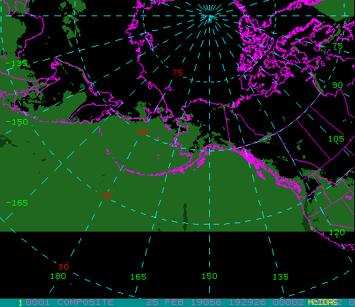
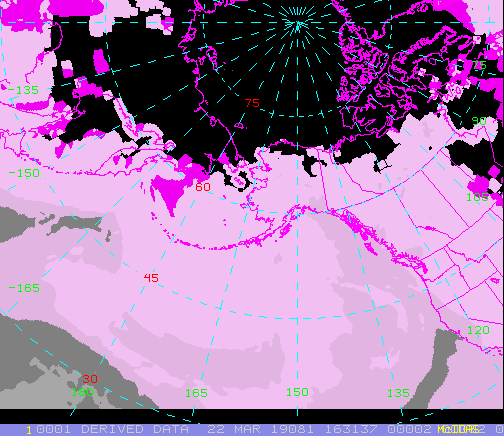
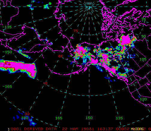
Alaska National and Regional - Update Interval varies by product
|
|
|
|
|
|
|
|
|
NB: thumbnails are links to full resolution images which may be LARGE

Channel  Description                                  Central Lat, Lon  Resolution [km]   Size [Lines x Elements]
--------+--------------------------------------------+-----------------+-----------------+-----------------------
Band  1  0.62 um VIS Cloud and Surface Feature            59N, 163W         8.20               874 x 1012
Band  3  6.5 um IR Mid-level Water Vapor                  59N, 163W         8.20               874 x 1012
Band  4  10.7 um IR Surface/Cloud-top Temp                59N, 163W         8.20               874 x 1012
Band  X  Rainfall Rate Product                            59N, 164W        16.50               436 x  504
Band  X  Precipitable Water Product                       59N, 164W        16.50               436 x  504
Band  X  Total Precipitable Water Product                 59N, 164W        16.50               436 x  504
Band  1  0.62 um VIS Cloud and Surface Feature            60N, 150W         2.00              1632 x 2304
Band  3  6.5 um IR Mid-level Water Vapor                  60N, 150W         8.00               408 x  576
Band  4  10.7 um IR Surface/Cloud-top Temp                60N, 150W         8.00               408 x  576

Example LDM/IDD Product ID:s
satz/ch2/GOES-15/VIS/20190321 1700/AK-NATIONAL/8km/ TIGB01 KNES 211700
satz/ch2/GOES-15/WV/20190321 1700/AK-NATIONAL/8km/ TIGB05 KNES 211700
satz/ch2/GOES-15/IR/20190321 1700/AK-NATIONAL/8km/ TIGB02 KNES 211700
satz/ch2/MISC/60/20190321 1521/AK-NATIONAL/1km/ TICB60 KNES 211521
satz/ch2/MISC/PW/20190321 1521/AK-NATIONAL/1km/ TICB17 KNES 211521
satz/ch2/POES/PRXX/20190321 1426/AK-NATIONAL/1km/ TITB29 KNES 211426
satz/ch2/GOES-15/VIS/20190321 1700/AK-REGIONAL/2km/ TIGA01 KNES 211700
satz/ch2/GOES-15/3.9/20190321 1700/AK-REGIONAL/8km/ TIGA04 KNES 211700
satz/ch2/GOES-15/WV/20190321 1700/AK-REGIONAL/8km/ TIGA05 KNES 211700
satz/ch2/GOES-15/IR/20190321 1700/AK-REGIONAL/8km/ TIGA02 KNES 211700
Example LDM configuration file REQUEST line:
REQUEST NIMAGE "AK-(NATIONAL|REGIONAL)" upstream_IDD_relay

Example LDM pattern-action file action
Example LDM pattern-action file ldmfile.sh script
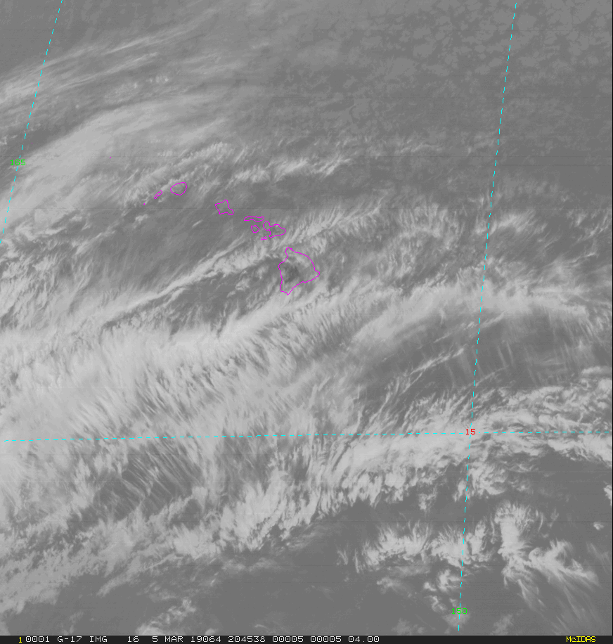
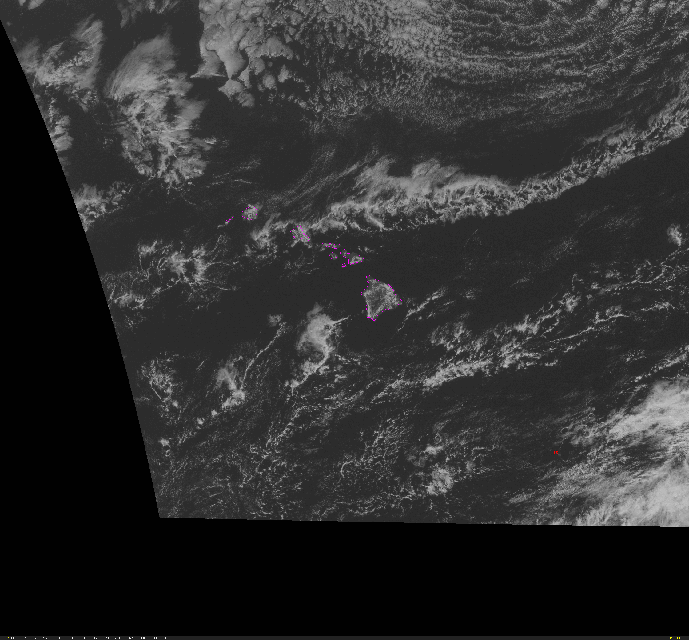
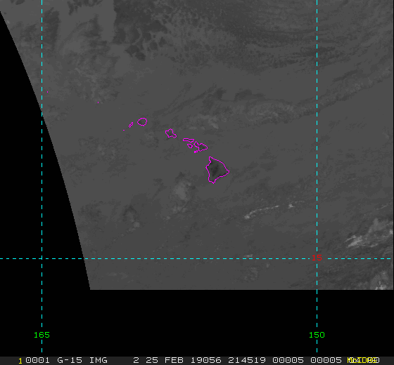
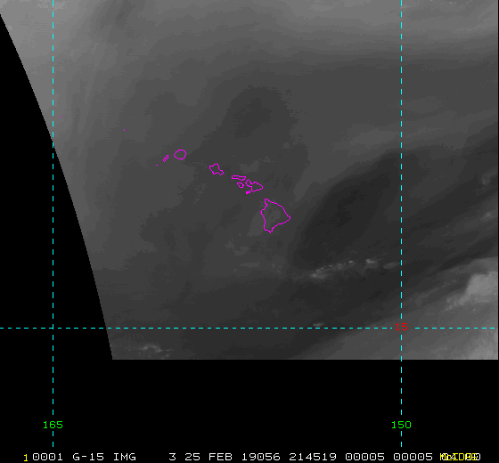
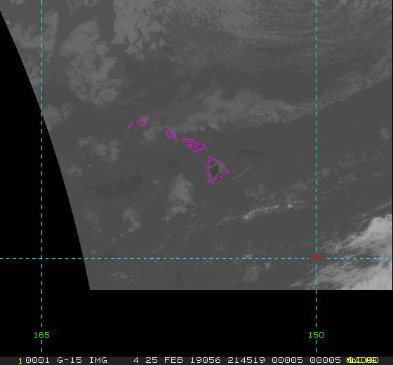
Hawaii National and Regional - Update Interval varies by product
NB: thumbnails are links to full resolution images which may be LARGE

Channel  Description                                  Central Lat, Lon  Resolution [km]   Size [Lines x Elements]
--------+--------------------------------------------+-----------------+-----------------+-----------------------
Band  1  0.62 um VIS Cloud and Surface Feature            25N, 179W        14.00               737 x 1012
Band  3  6.5 um IR Mid-level Water Vapor                  25N, 179W        14.00               737 x 1012
Band  4  10.7 um IR Surface/Cloud-top Temp                25N, 179W        14.00               737 x 1012
Band  X  Rainfall Rate Product                            25N, 179W        14.00               737 x 1012
Band  X  Precipitable Water                               25N, 179W        14.00               737 x 1008
Band  X  Total Precipitable Water                         25N, 179W        14.00               737 x 1008
Sounder - VIS                                             25N, 180W         9.80              1073 x 1472
Sounder - 3.98 um                                         25N, 180W         9.80              1073 x 1472
Sounder - 4.45 um                                         25N, 180W         9.80              1073 x 1472
Sounder - 6.51 um                                         25N, 180W         9.80              1073 x 1472
Sounder - 7.02 um                                         25N, 180W         9.80              1073 x 1472
Sounder - 7.43 um                                         25N, 180W         9.80              1073 x 1472
Sounder - 11.03 um                                        25N, 180W         9.80              1073 x 1472
Sounder - 14.06 um                                        25N, 180W         9.80              1073 x 1472
Band  1  0.62 um VIS Cloud and Surface Feature            25N, 179W         1.00              2080 x 2242
Band  2  3.9 um IR Low Cloud/Fog,Fire Detection           19N, 157W         4.00               520 x  560
Band  3  6.5 um IR Mid-level Water Vapor                  19N, 157W         4.00               520 x  560
Band  4  10.7 um IR Surface/Cloud-top Temp                19N, 157W         4.00               520 x  560
Band  6  13.3 um IR CO2, Cloud Heights                    19N, 157W         4.00               520 x  560

Example LDM/IDD Product ID:s
satz/ch2/GOES-15/VIS/20190321 1645/HI-NATIONAL/14km/ TIGI01 KNES 211645
satz/ch2/GOES-15/WV/20190321 1645/HI-NATIONAL/14km/ TIGI05 KNES 211645
satz/ch2/GOES-15/IR/20190321 1645/HI-NATIONAL/14km/ TIGI02 KNES 211645
satz/ch2/POES/PRXX/20190321 1426/HI-NATIONAL/1km/ TITI29 KNES 211426
satz/ch2/MISC/PW/20190321 1521/HI-NATIONAL/1km/ TICI17 KNES 211521
satz/ch2/MISC/60/20190321 1426/HI-NATIONAL/1km/ TICI60 KNES 211426
satz/ch2/GOES-15/SOUND-VIS/20190321 1624/HI-NATIONAL/10km/ TIGI59 KNES 211624
satz/ch2/GOES-15/SOUND-3.98/20190321 1624/HI-NATIONAL/10km/ TIGI57 KNES 211624
satz/ch2/GOES-15/SOUND-4.45/20190321 1624/HI-NATIONAL/10km/ TIGI55 KNES 211624
satz/ch2/GOES-15/SOUND-6.51/20190321 1624/HI-NATIONAL/10km/ TIGI52 KNES 211624
satz/ch2/GOES-15/SOUND-7.02/20190321 1624/HI-NATIONAL/10km/ TIGI51 KNES 211624
satz/ch2/GOES-15/SOUND-7.43/20190321 1524/HI-NATIONAL/10km/ TIGI50 KNES 211524
satz/ch2/GOES-15/SOUND-11.03/20190321 1624/HI-NATIONAL/10km/ TIGI48 KNES 211624
satz/ch2/GOES-15/SOUND-14.06/20190321 1624/HI-NATIONAL/10km/ TIGI43 KNES 211624
satz/ch2/GOES-15/VIS/20190321 1645/HI-REGIONAL/1km/ TIGH01 KNES 211645
satz/ch2/GOES-15/3.9/20190321 1700/HI-REGIONAL/4km/ TIGH04 KNES 211700
satz/ch2/GOES-15/WV/20190321 1700/HI-REGIONAL/4km/ TIGH05 KNES 211700
satz/ch2/GOES-15/IR/20190321 1700/HI-REGIONAL/4km/ TIGH02 KNES 211700
satz/ch2/GOES-15/13.3/20190321 1700/HI-REGIONAL/4km/ TIGH06 KNES 211700
Example LDM configuration file REQUEST line:
REQUEST NIMAGE "HI-(NATIONAL|REGIONAL)" upstream_IDD_relay

Example LDM pattern-action file action
Example LDM pattern-action file ldmfile.sh script