GOES-R ReBroadcast (GRB) Satellite Imagery
GOES-East/West Satellite imagery and products available in the SATELLITE (aka DIFAX)
datastream of the Unidata IDD
GOES-East/West Imagery and Products
Instrument  Description
-----------+------------------------------------------------------------------
ABI         Advanced Baseline Imager imagery, sixteen wavelength channels
GLM         Geostationary Lightning Mapper
EXIS        Extreme Ultraviolet and X-Ray Irradiance Sensors
MAG         Magnetometer
SEIS        Space Environment In-Situ Suite
SUVI        Solar Ultraviolet Imager

ABI operating modes:
-------+------------------------------------------------------------------
Mode 3  15 min Full Disk, 5 min CONUS, 1 min/30 sec Mesoscale(s)
Mode 4   5 min Full Disk
Mode 6  10 min Full Disk, 5 min CONUS, 1 min/30 sec Mesoscale(s)
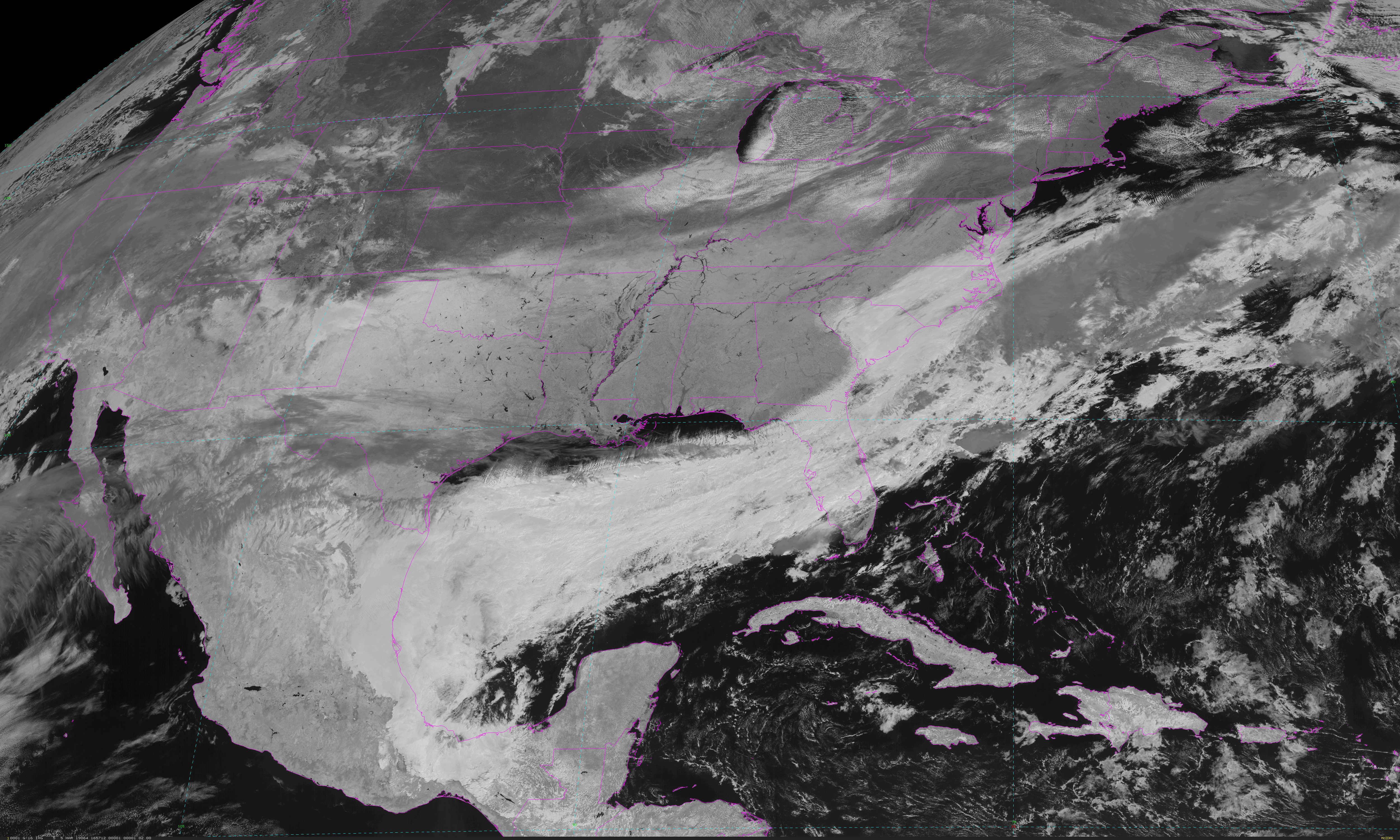
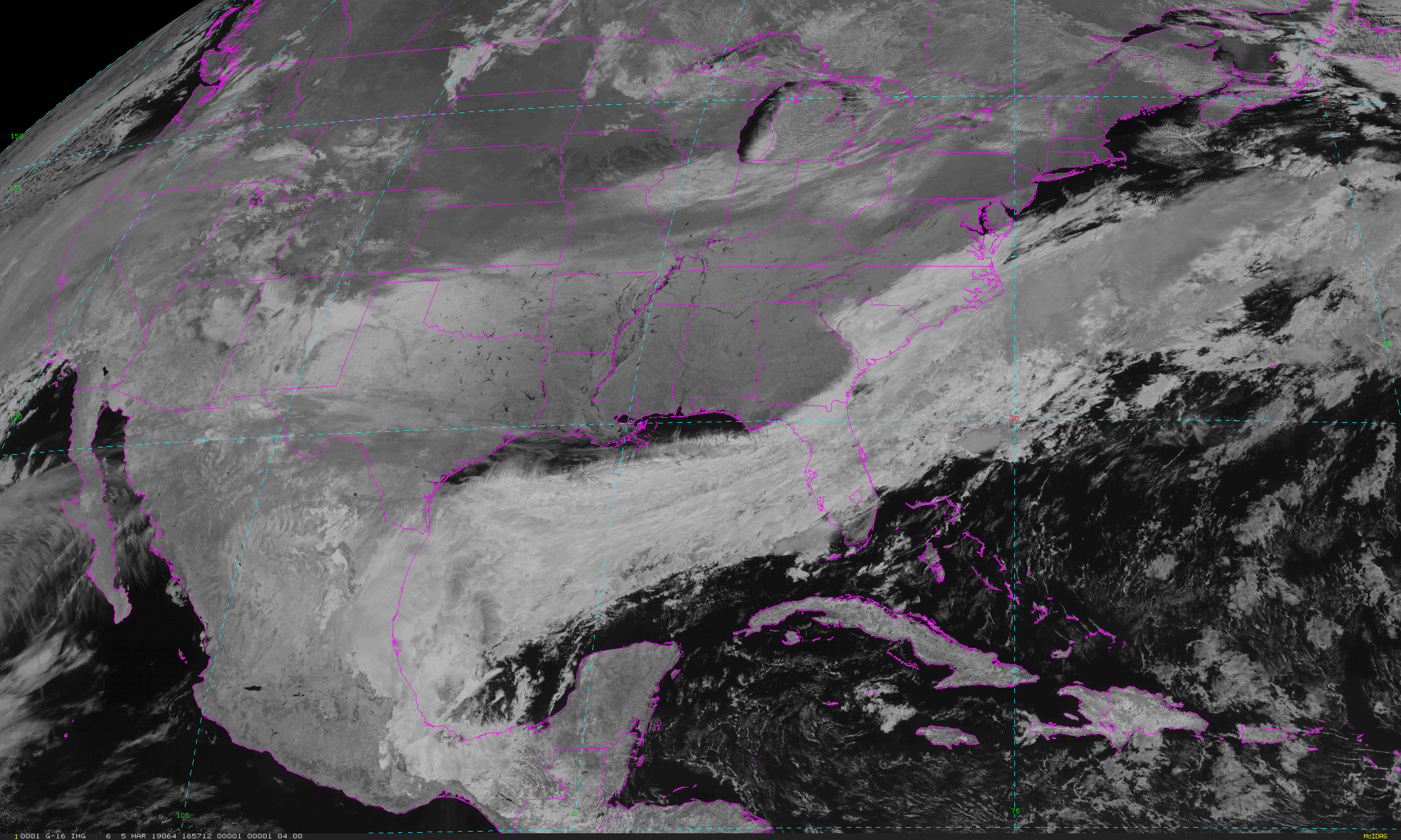
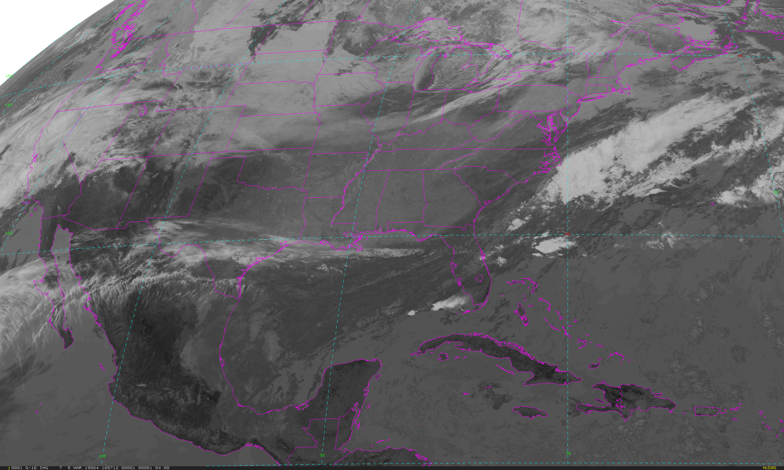
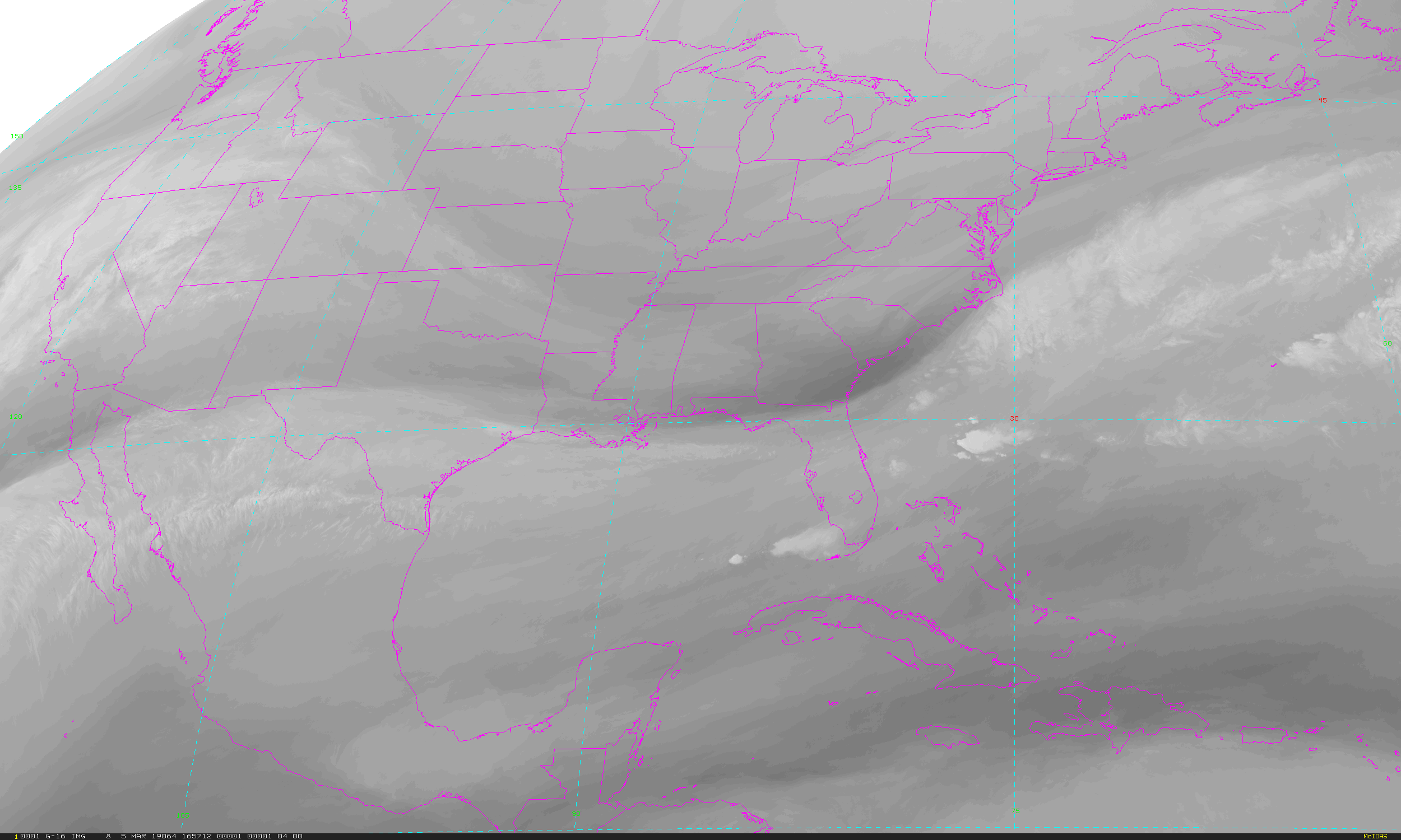
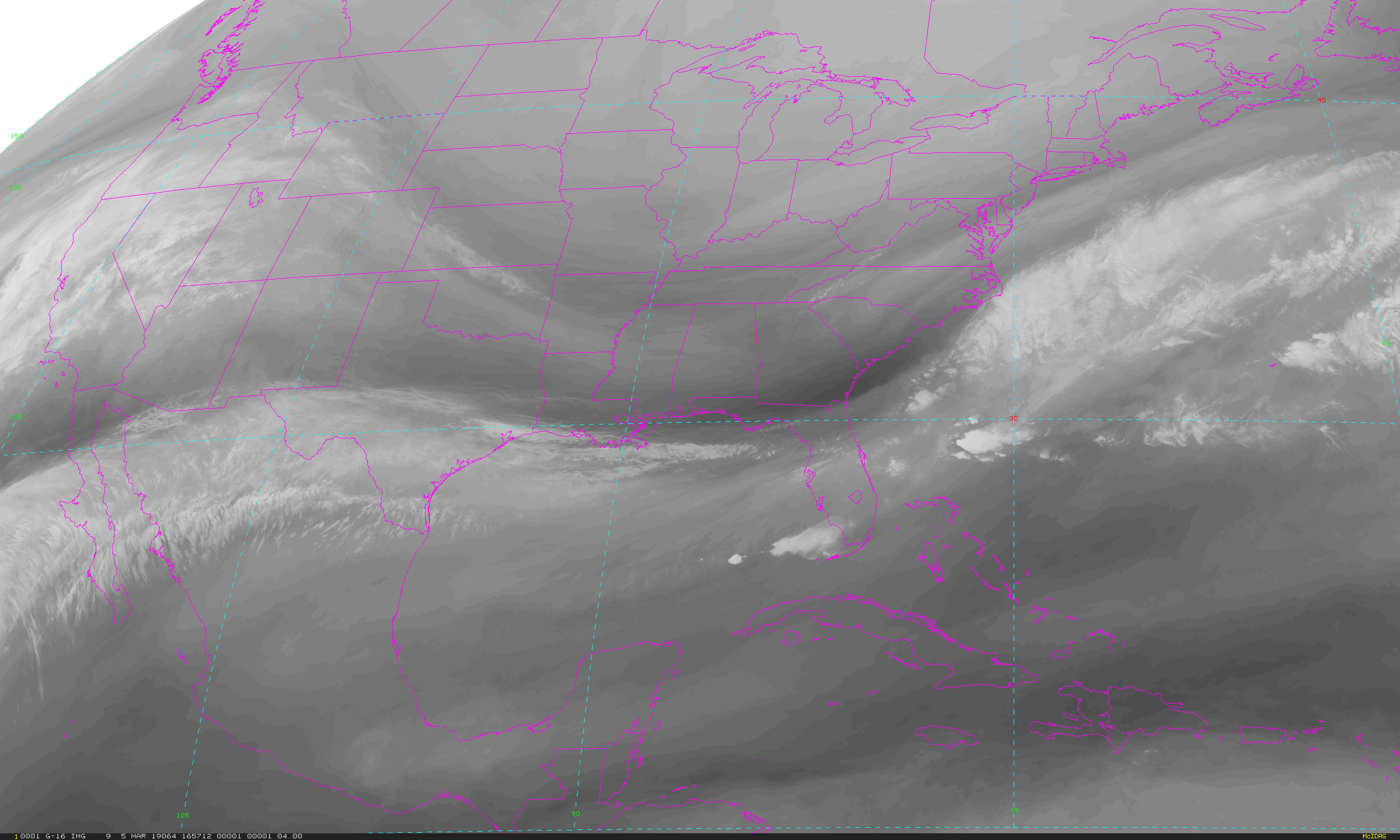
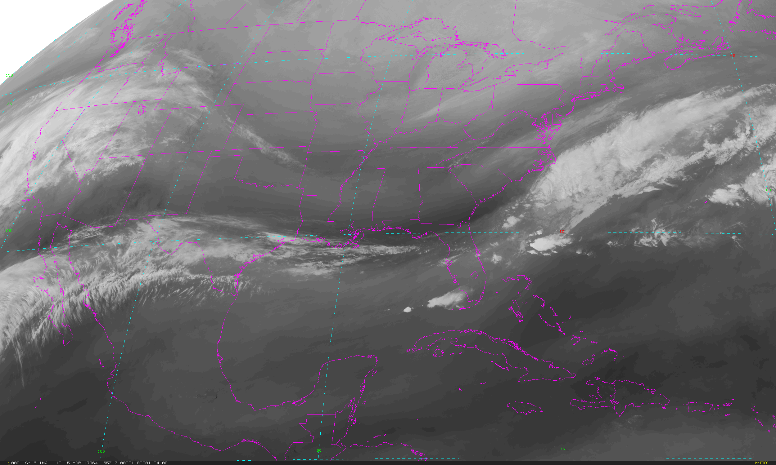
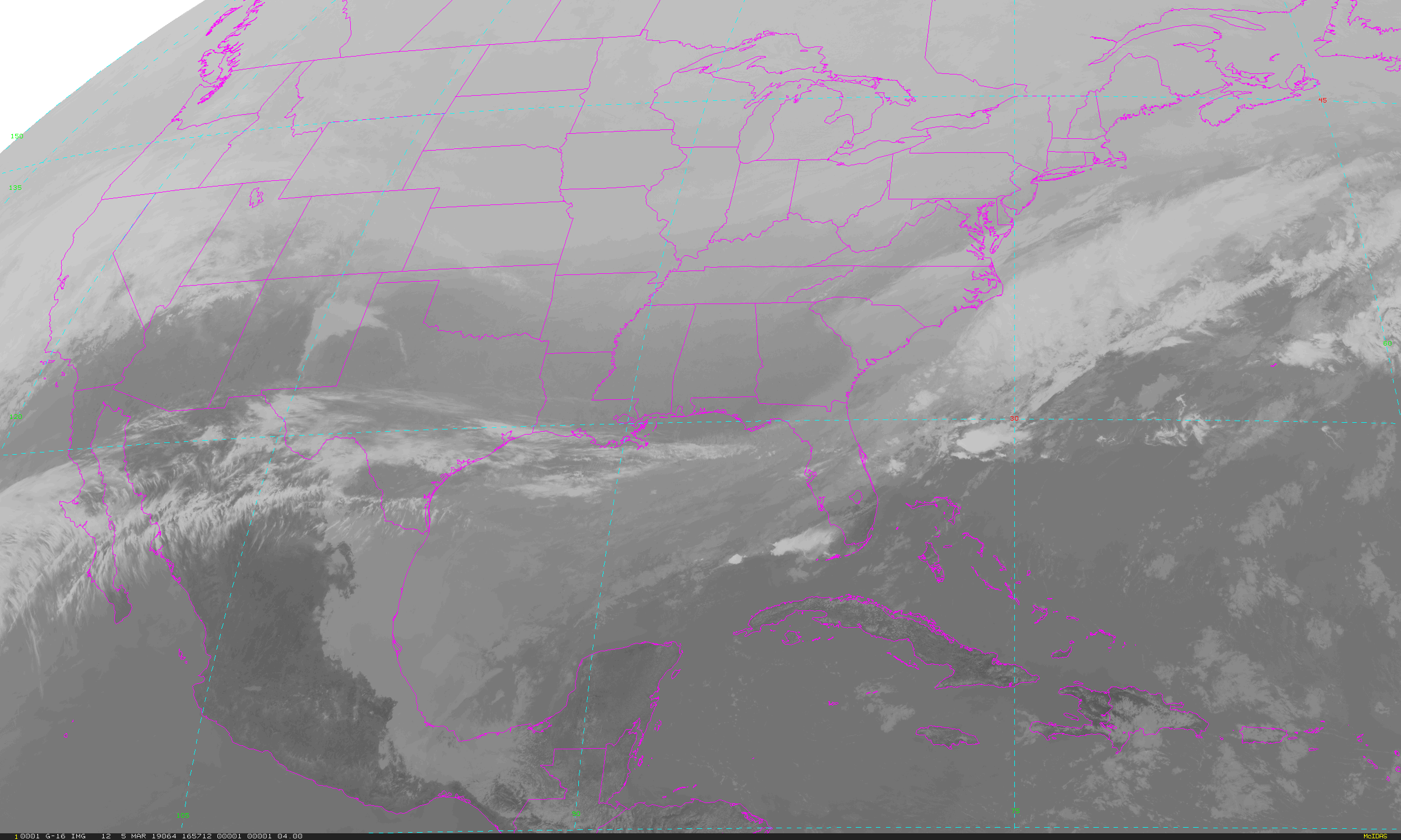
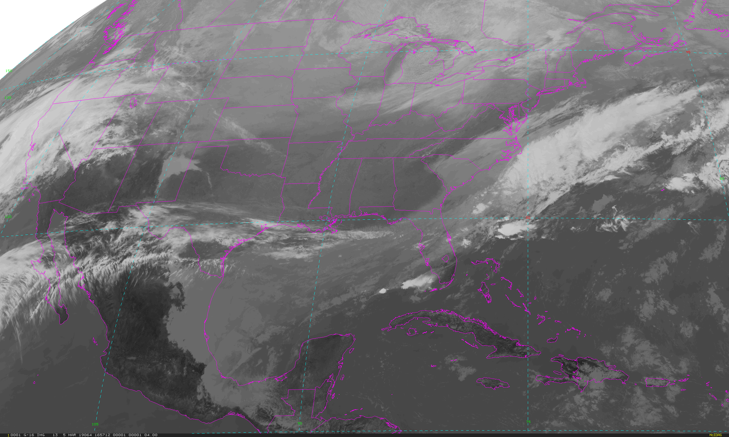
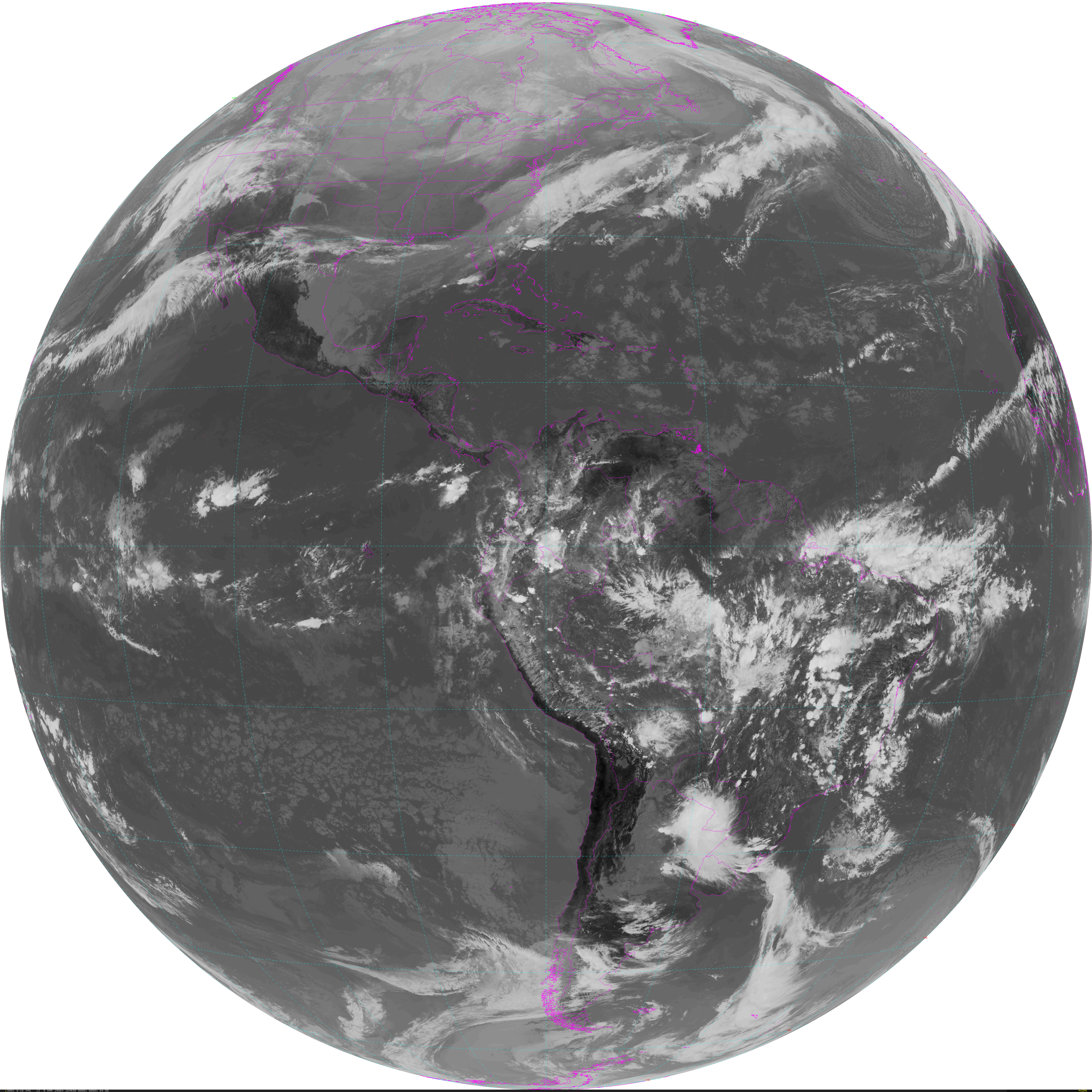
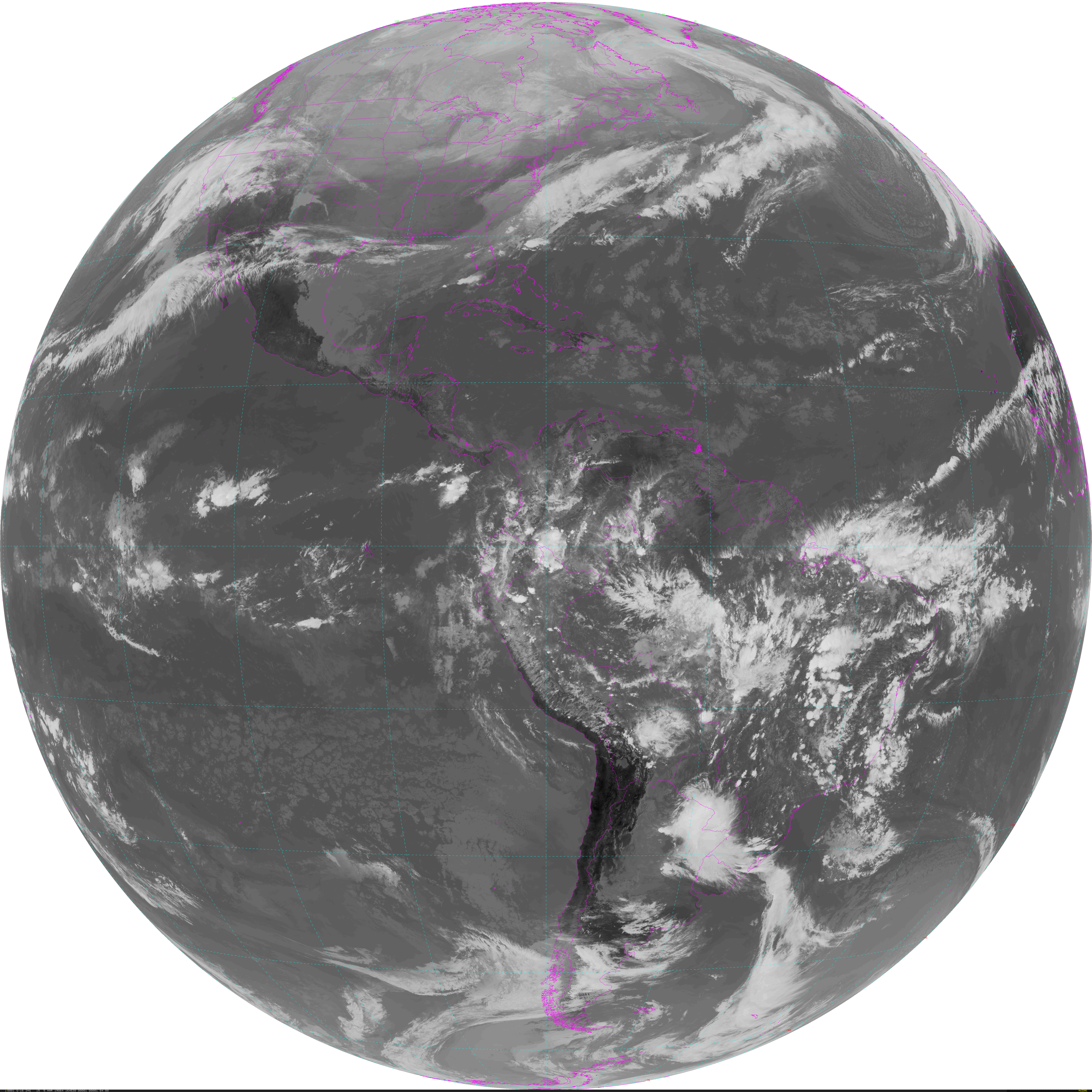
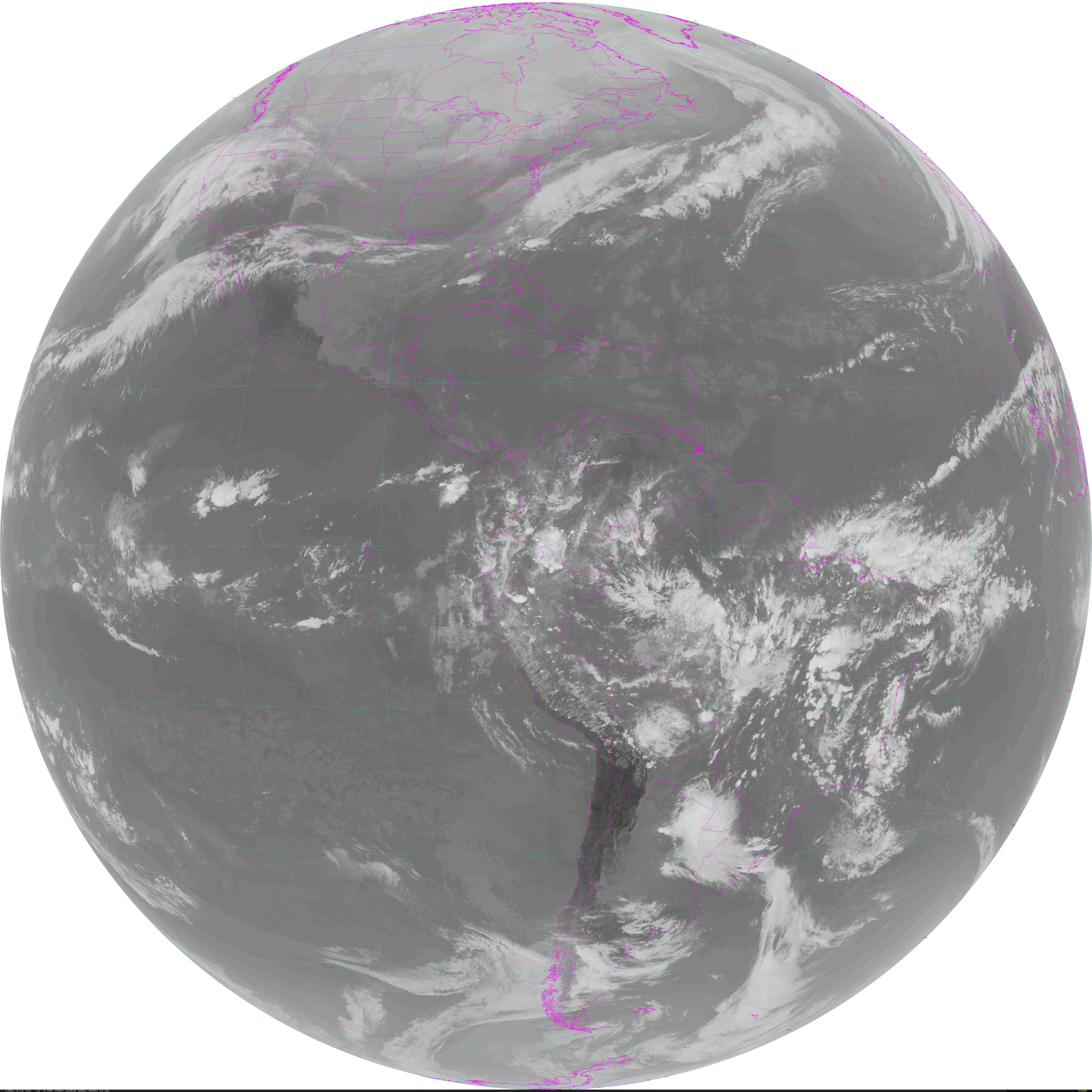
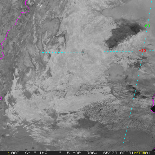
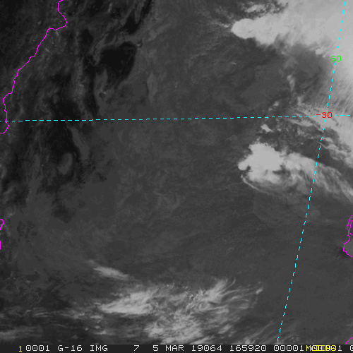
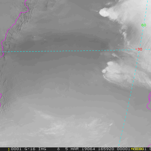
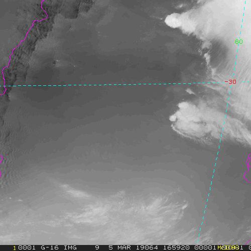
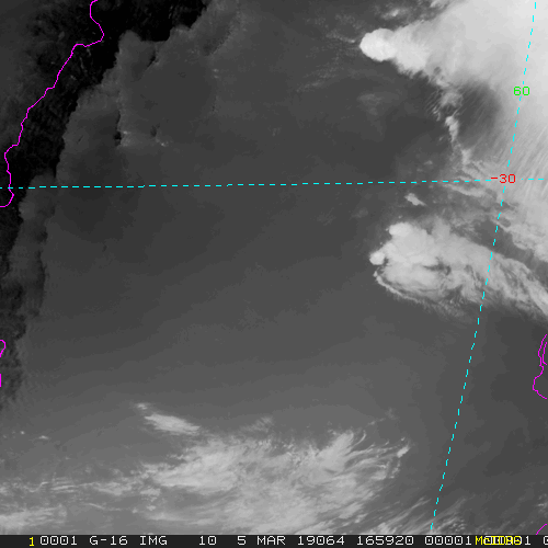
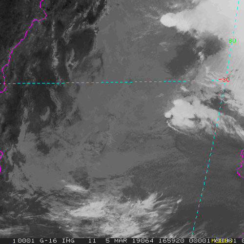
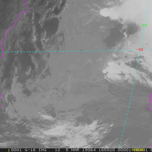
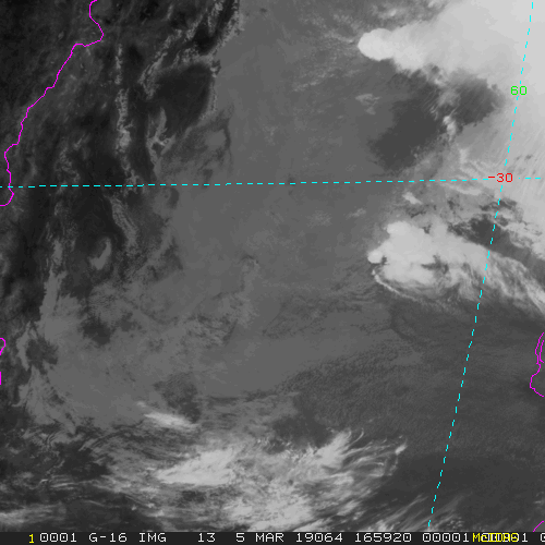
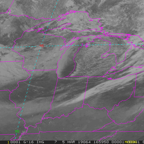
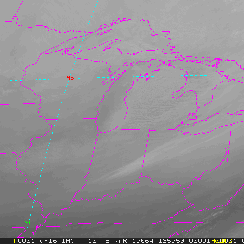
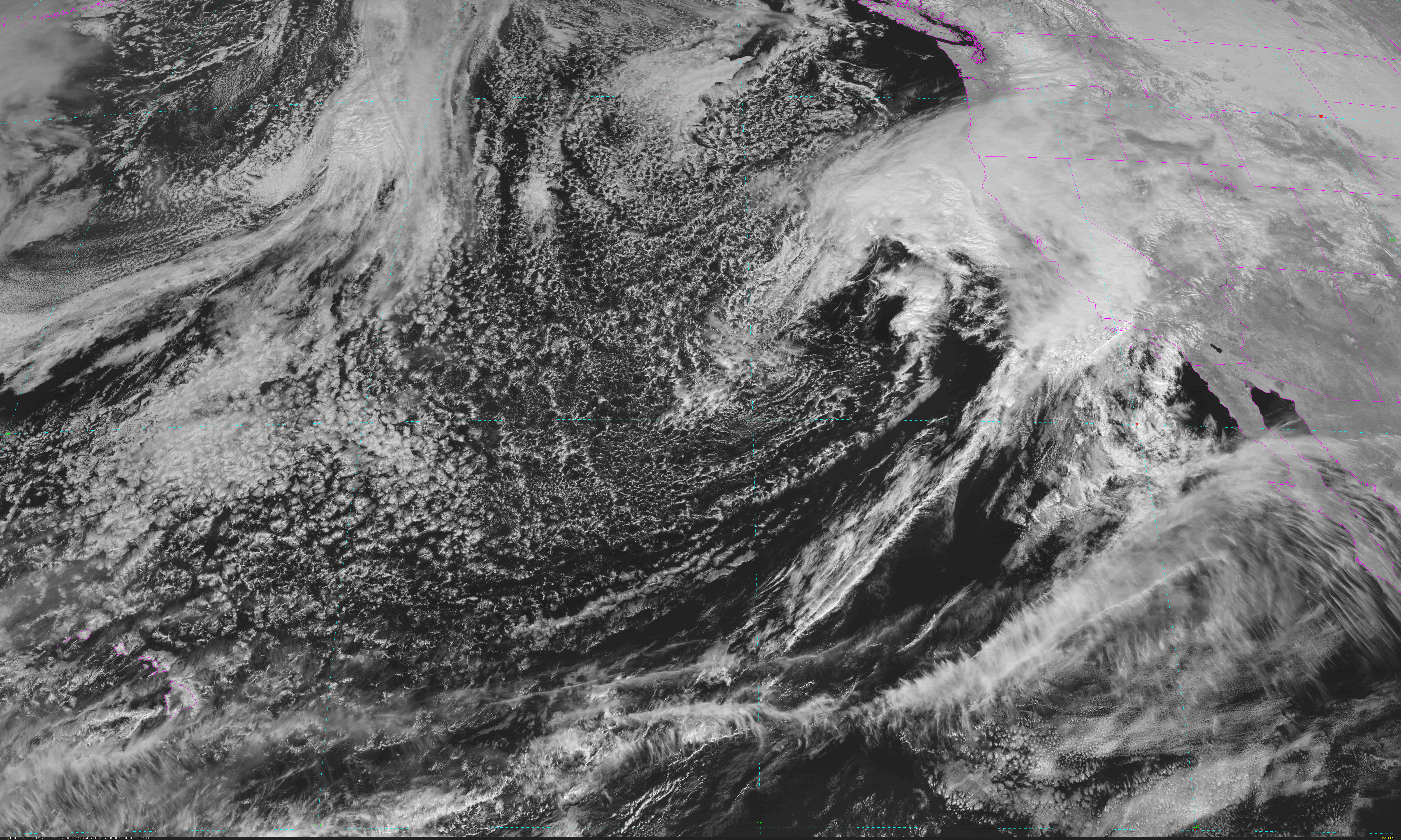
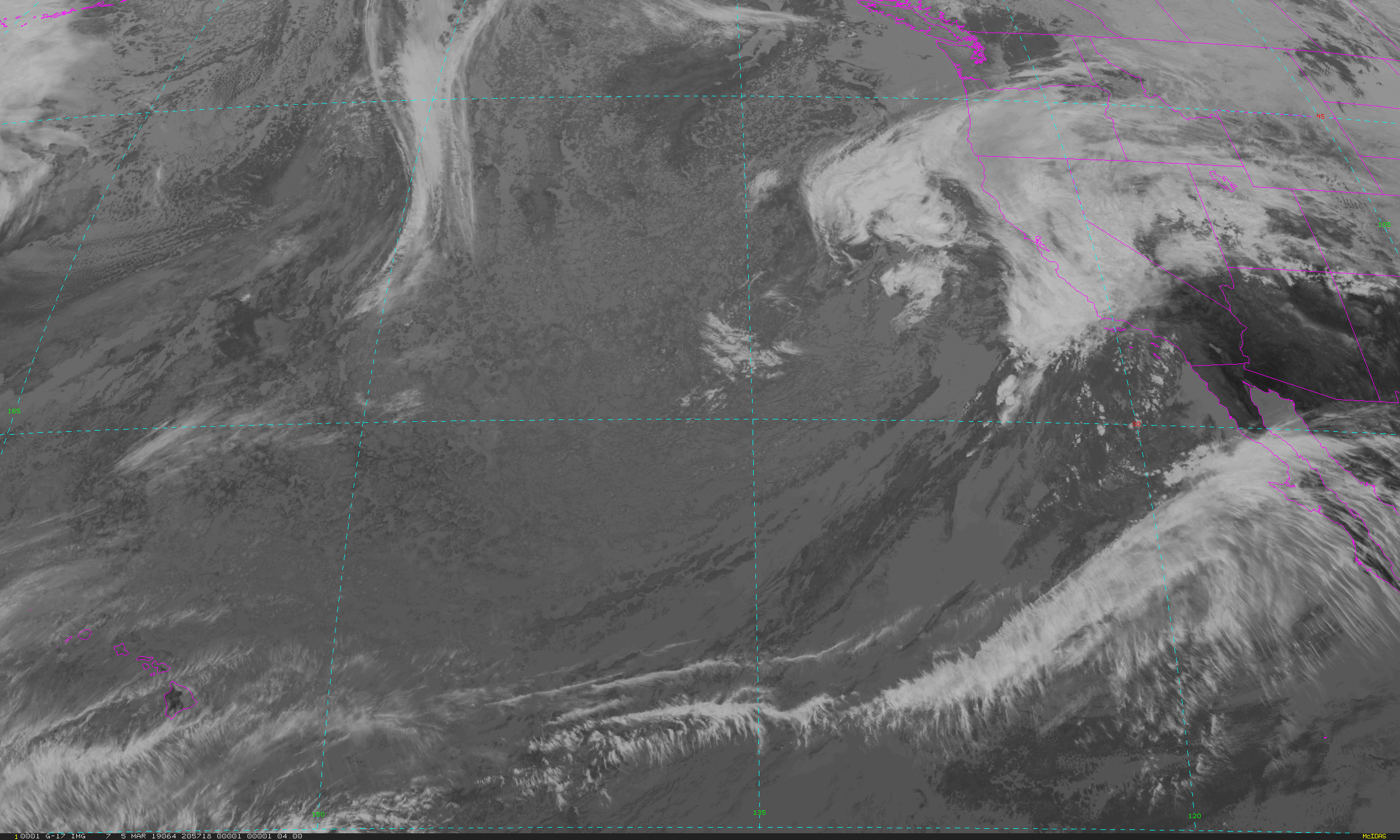
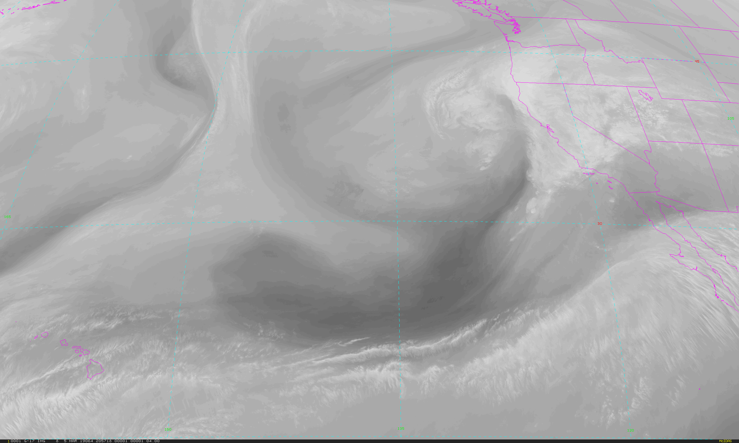
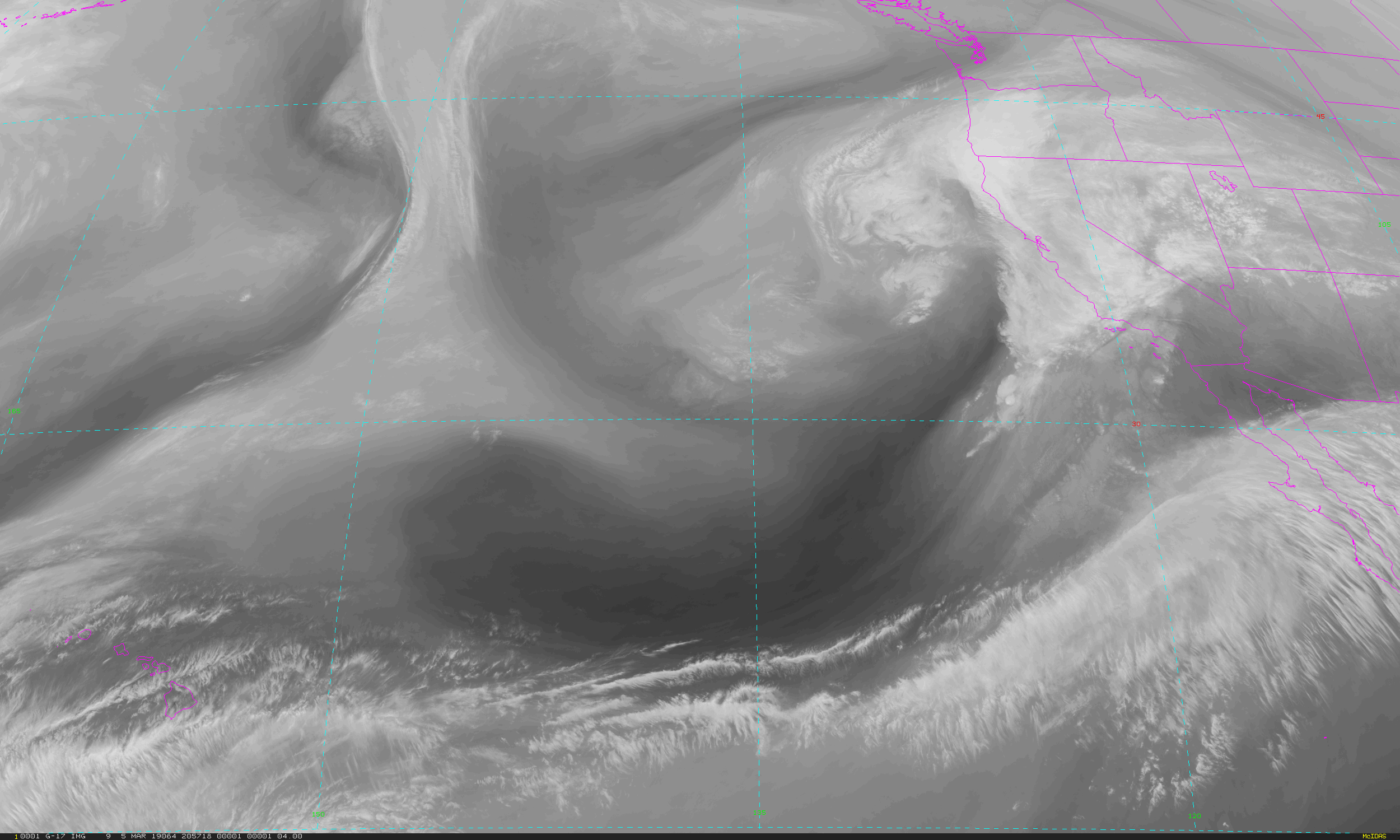
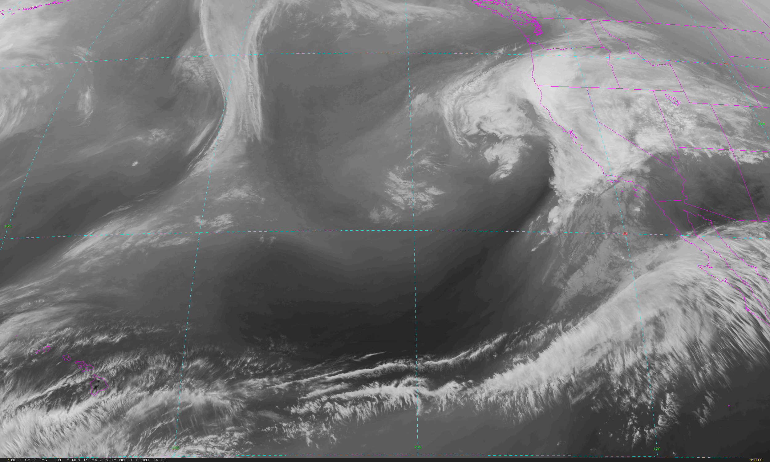
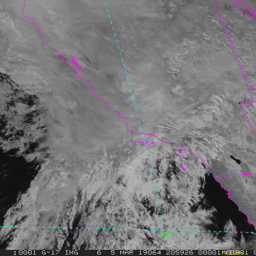
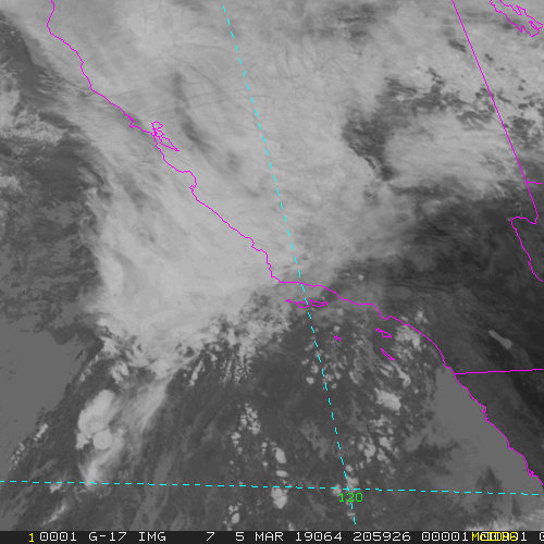
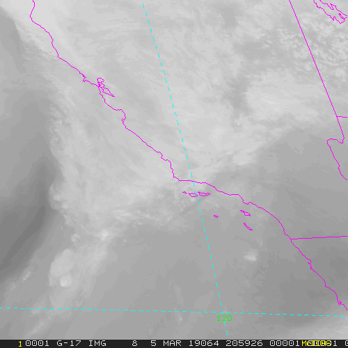
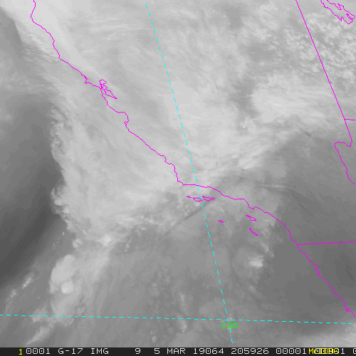
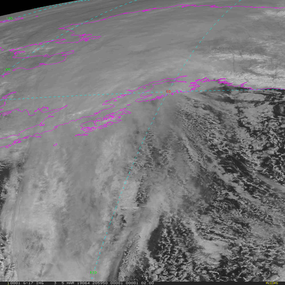
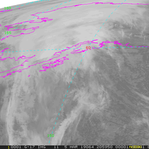
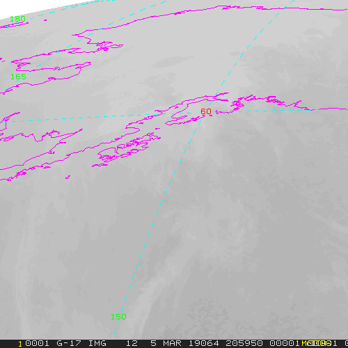
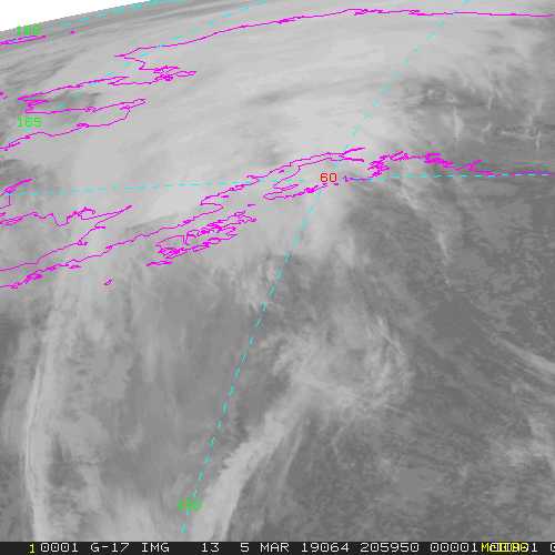
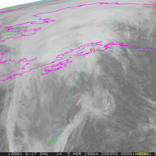
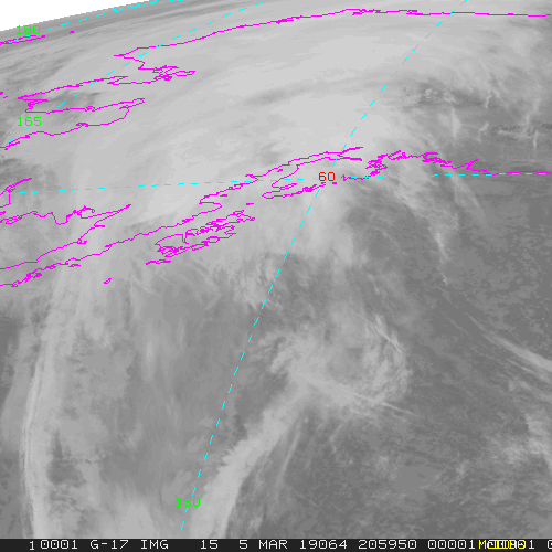
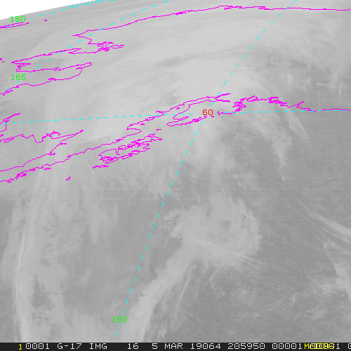
GOES-East (currently GOES-16) ABI Imagery Coverages, wavelength channels, resolutions and sizes
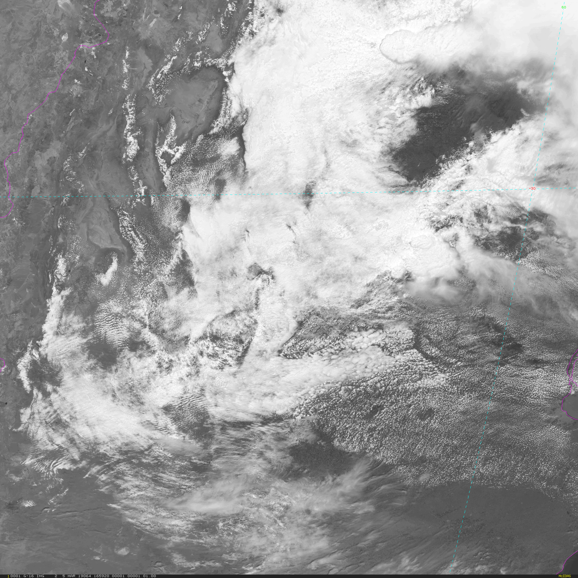
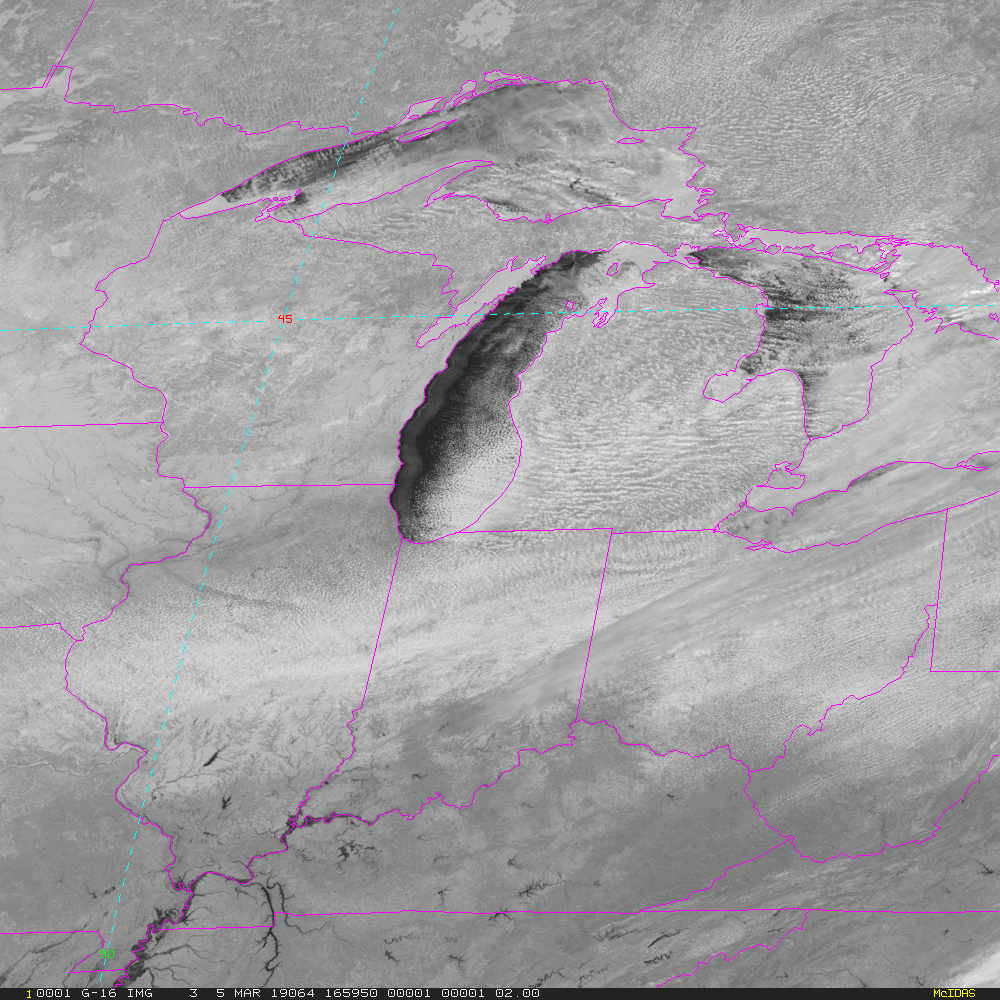
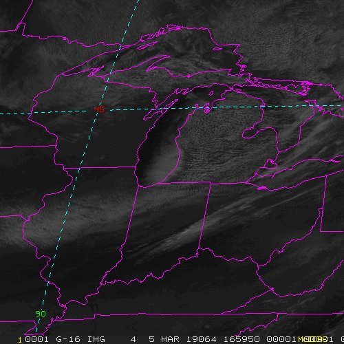
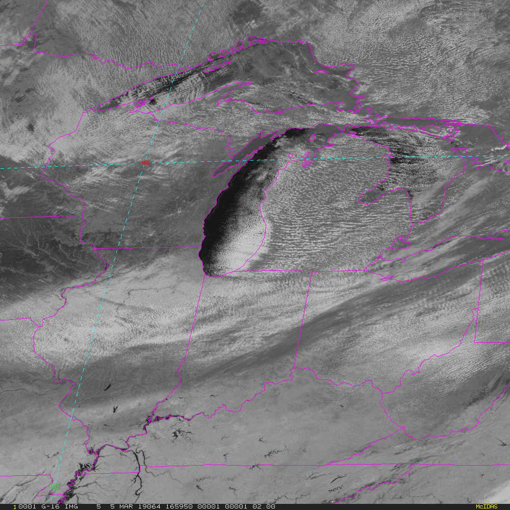
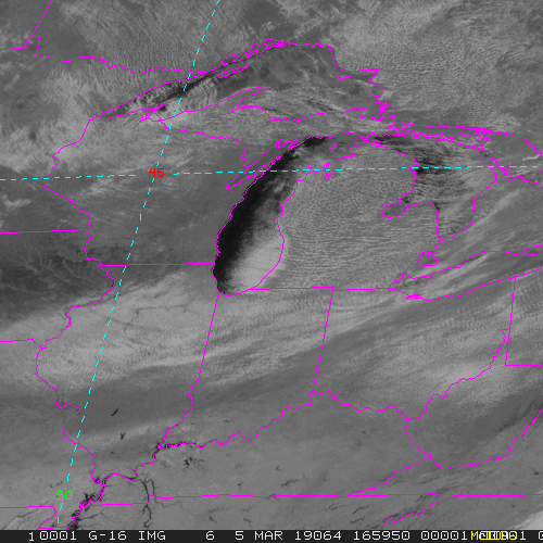
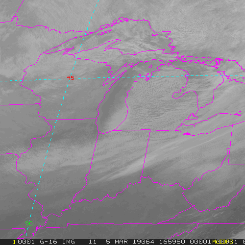
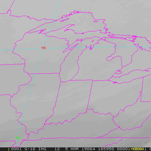
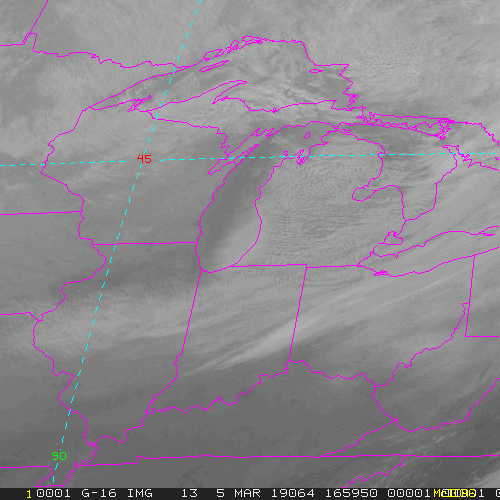
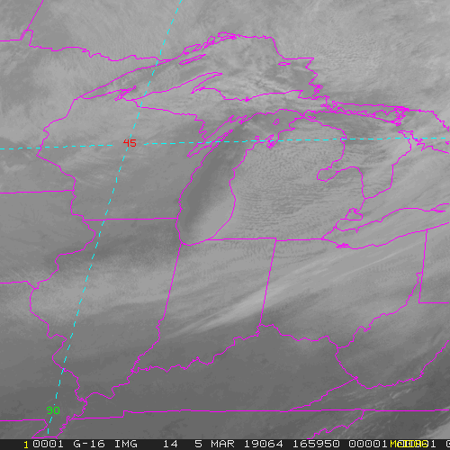
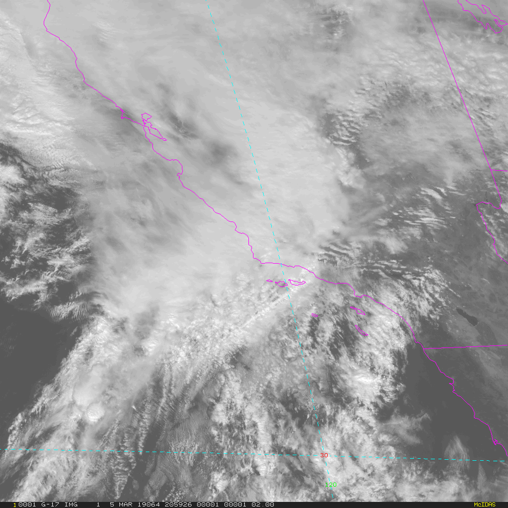
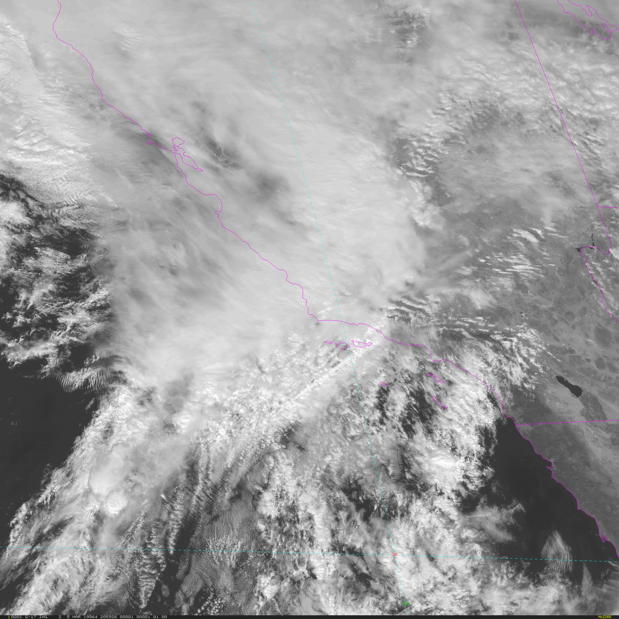
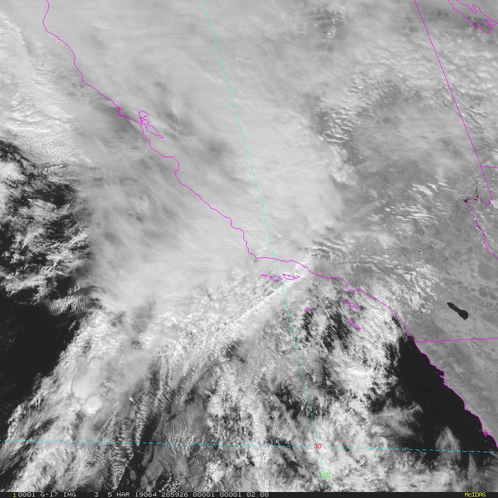
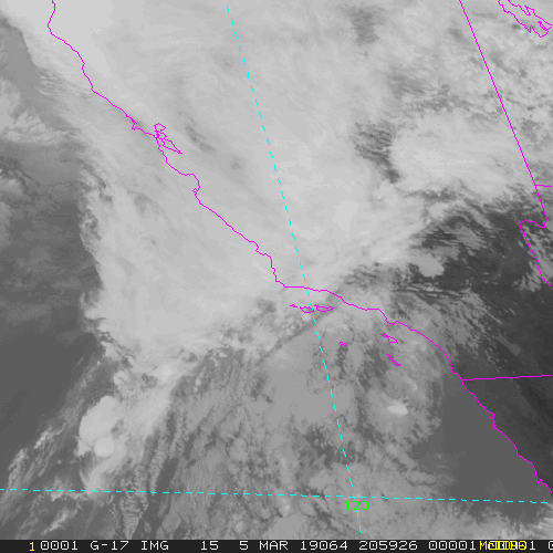
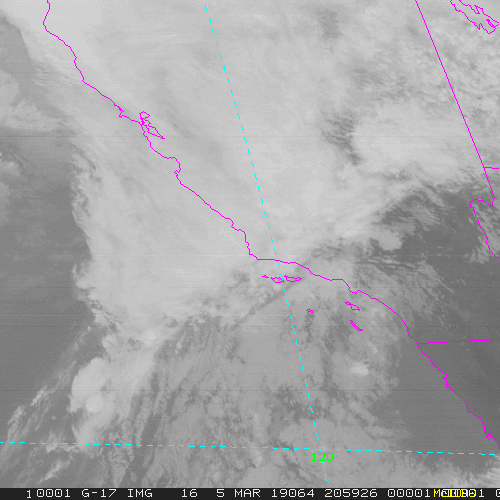
CONUS - 5 minute Update Interval for Mode 3 or 6
NB: thumbnails are links to full resolution images which may be LARGE
Channel Description Central Lat, Lon Resolution [km] Size [Lines x Elements]
--------+--------------------------------------------+-----------------+-----------------+-----------------------
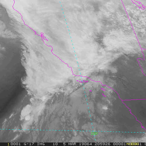
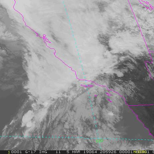
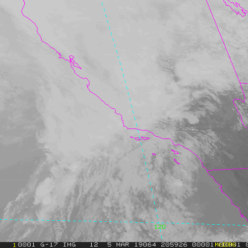
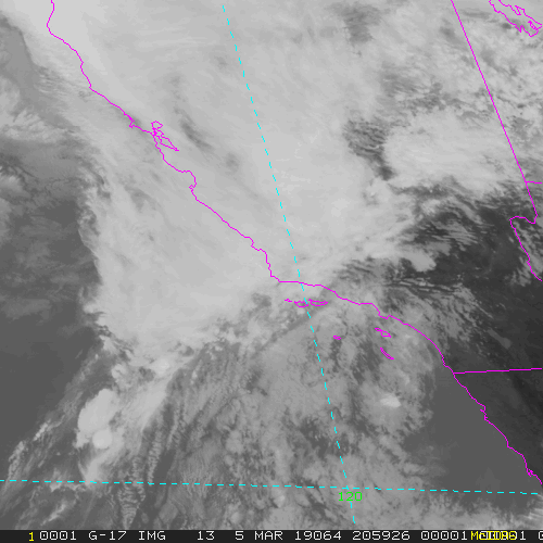
Band 1 0.47 um VIS aerosol-over-land 30N, 87W 1.00 3000 x 5000
Band 2 0.64 um VIS clouds fog, insol, winds 30N, 87W 0.50 6000 x10000
Band 3 0.86 um Near IR veg/burn scar,aerosol, wind 30N, 87W 1.00 3000 x 5000
Band 4 1.37 um Near IR cirrus cloud 30N, 87W 2.00 1500 x 2500
Band 5 1.61 um Near IR cloud phase, snow 30N, 87W 1.00 3000 x 5000
Band 6 2.24 um Near IR land/cloud, vege, snow 30N, 87W 2.00 1500 x 2500
Band 7 3.89 um IR Sfc, cloud, fog, fire, winds 30N, 87W 2.00 1500 x 2500
Band 8 6.17 um IR High-level WV, winds, rainfall 30N, 87W 2.00 1500 x 2500
Band 9 6.93 um IR Mid-level WV, winds, rainfall 30N, 87W 2.00 1500 x 2500
Band 10 7.34 um IR Lower-level WV, winds & SO2 30N, 87W 2.00 1500 x 2500
Band 11 8.44 um IR Total WV cloud phase, dust 30N, 87W 2.00 1500 x 2500
Band 12 9.61 um IR Total ozone,turbulence,wind 30N, 87W 2.00 1500 x 2500
Band 13 10.3 um IR Surface & cloud 30N, 87W 2.00 1500 x 2500
Band 14 11.2 um IR Imagery,SST,clouds,rainfall 30N, 87W 2.00 1500 x 2500
Band 15 12.3 um IR Total water, ash, and SST 30N, 87W 2.00 1500 x 2500
Band 16 13.3 um IR Air temp, cloud height and amount 30N, 87W 2.00 1500 x 2500
Example LDM/IDD Product ID:
GOES-16: /data/cspp-geo/GRB-R/OR_ABI-L1b-RadC-M6C12_G16_s20190521951138_e20190521953517_c20190521953559.nc
Example LDM configuration file REQUEST line:
GOES-16: REQUEST SATELLITE "RadC.*G16" upstream_IDD_relay
Example LDM pattern-action file grbfile.sh action
Example LDM pattern-action file grbfile.sh script
NB: In LDM versions 6.13.6 and earlier, the IDD feed type will need to be specified as
DIFAX, not SATELLITE!
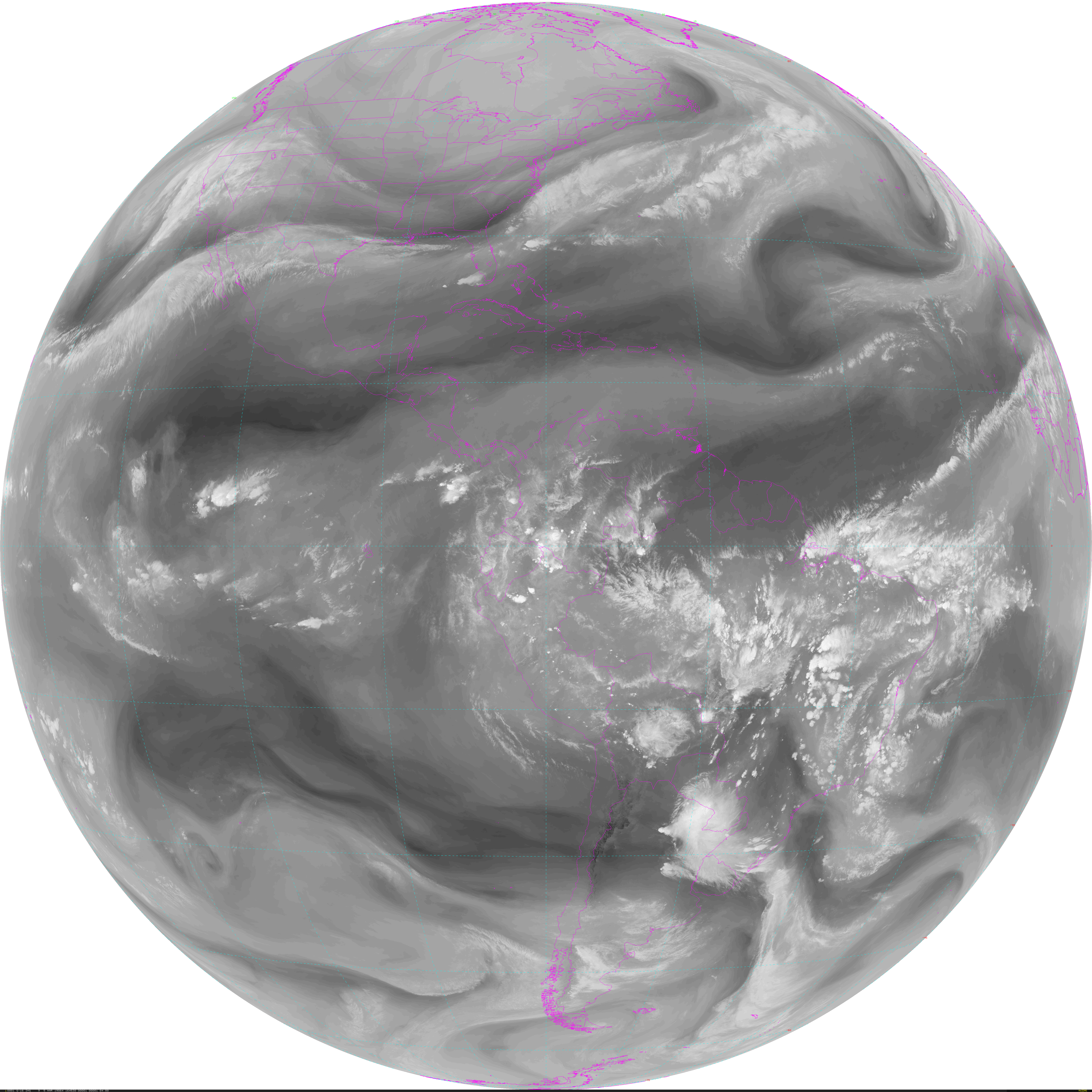
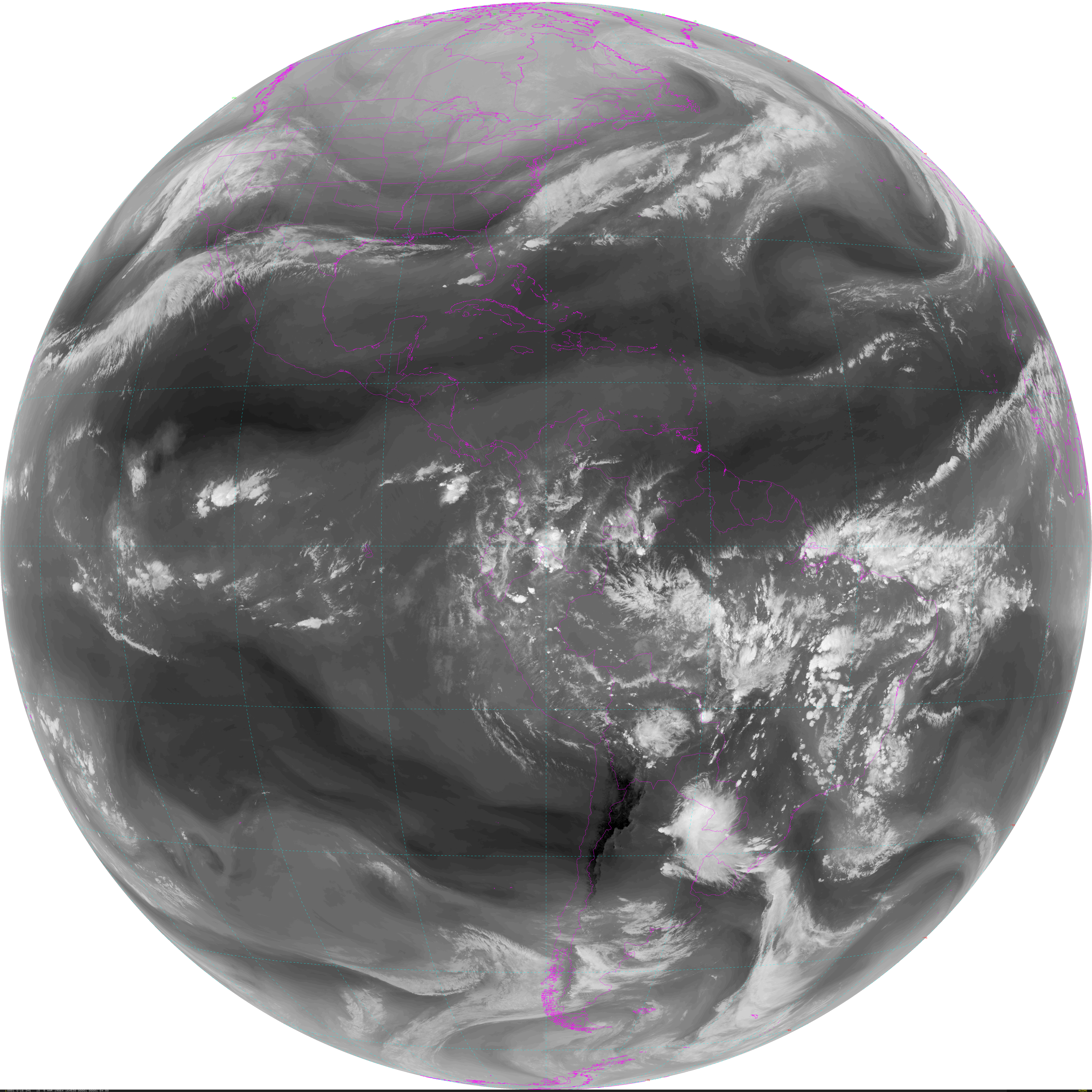
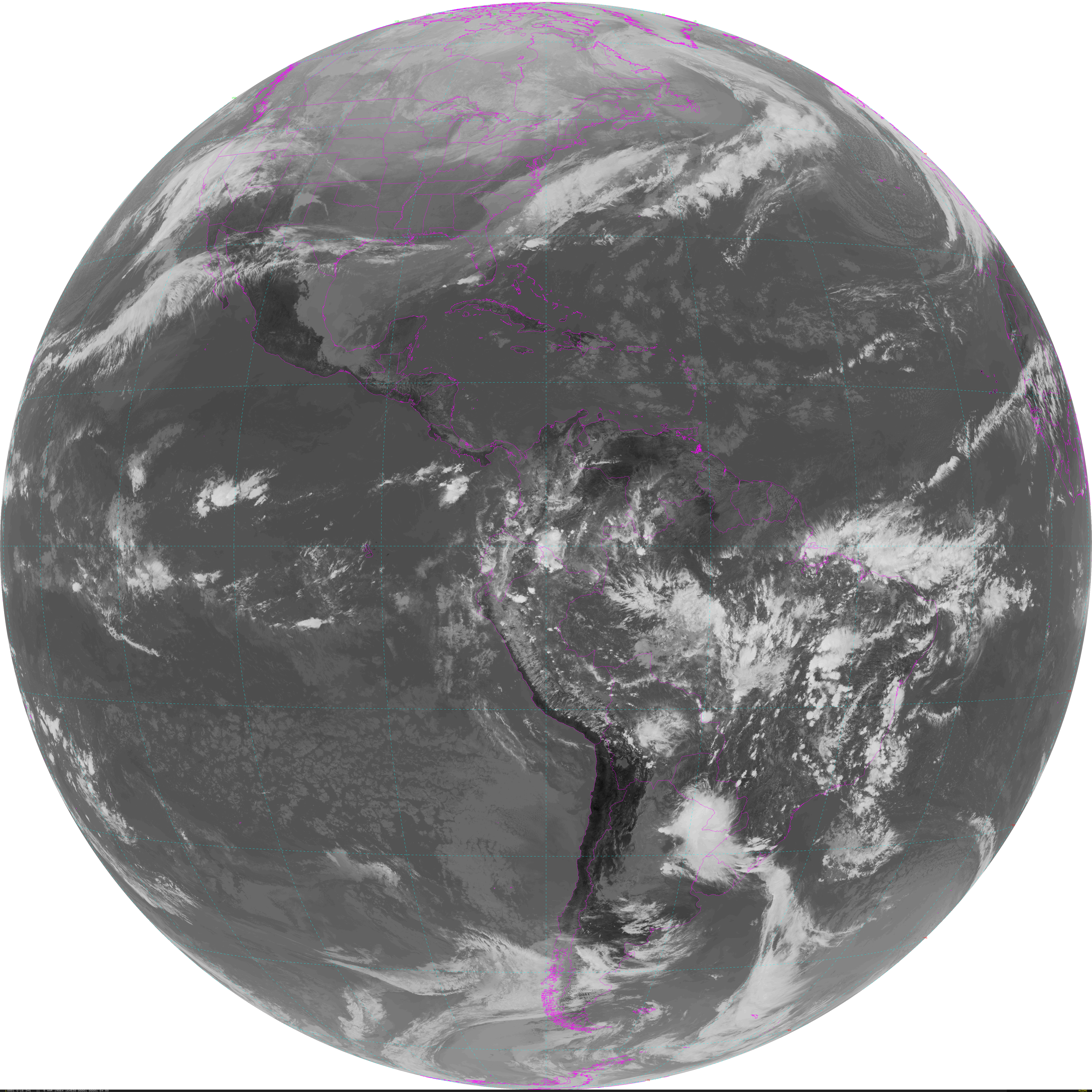
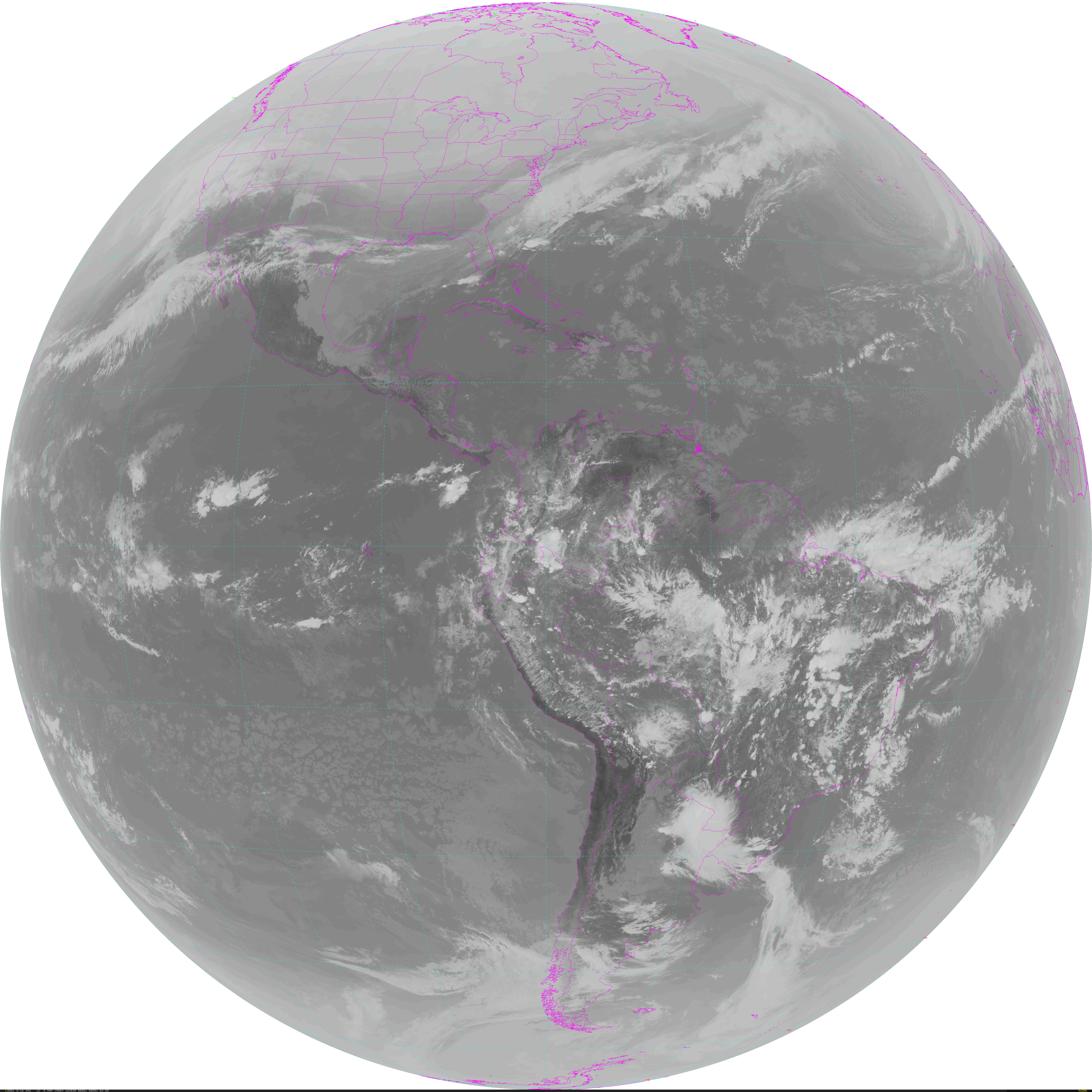
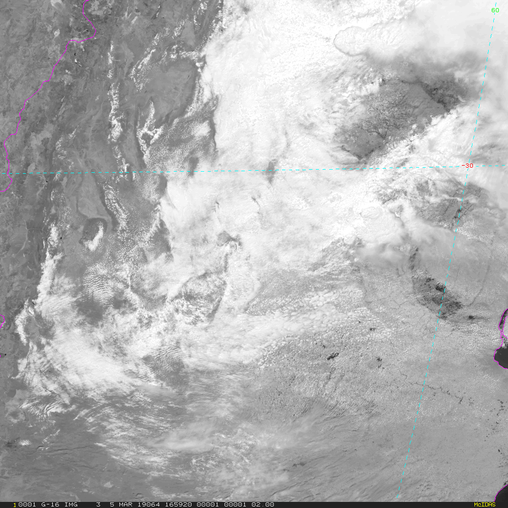
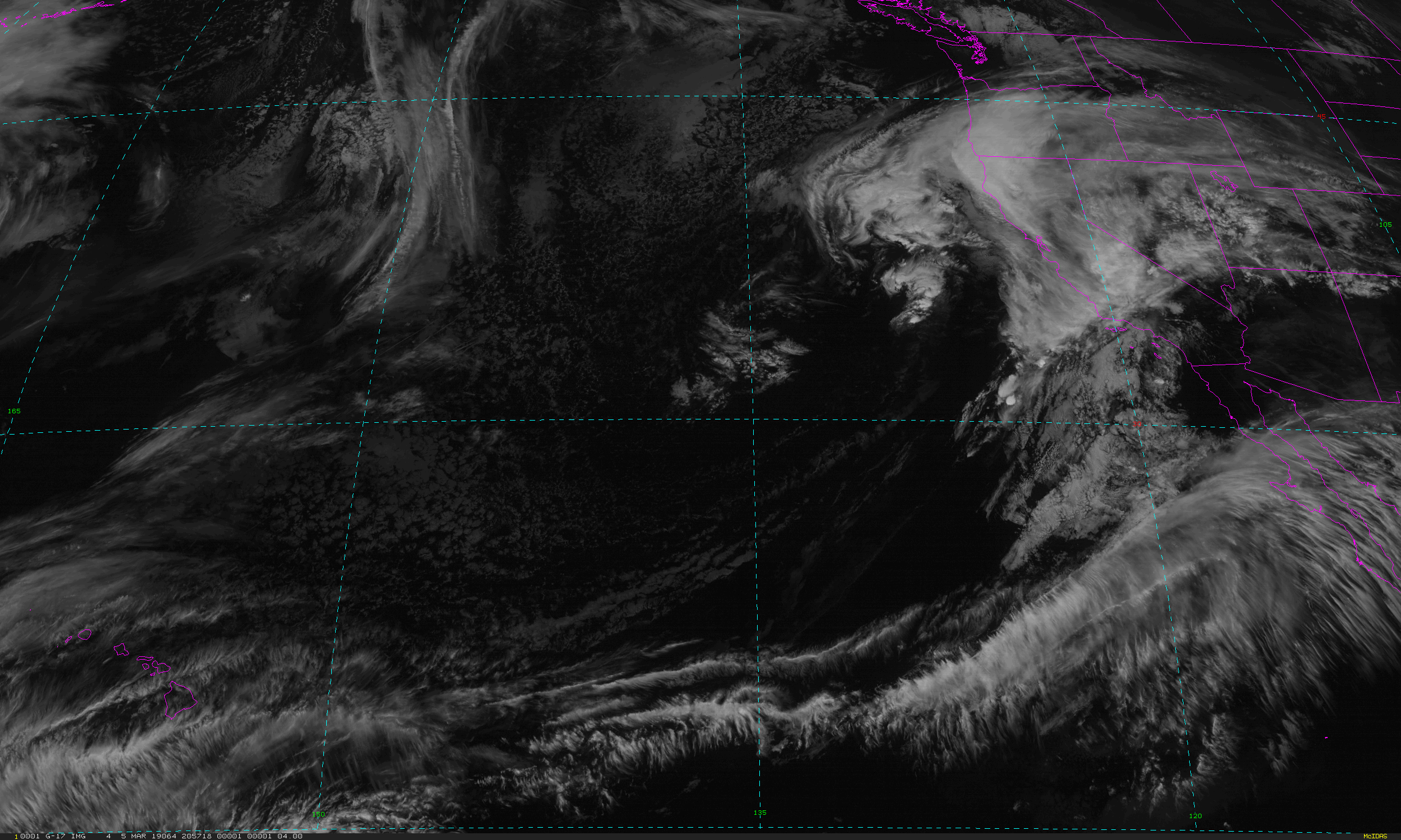
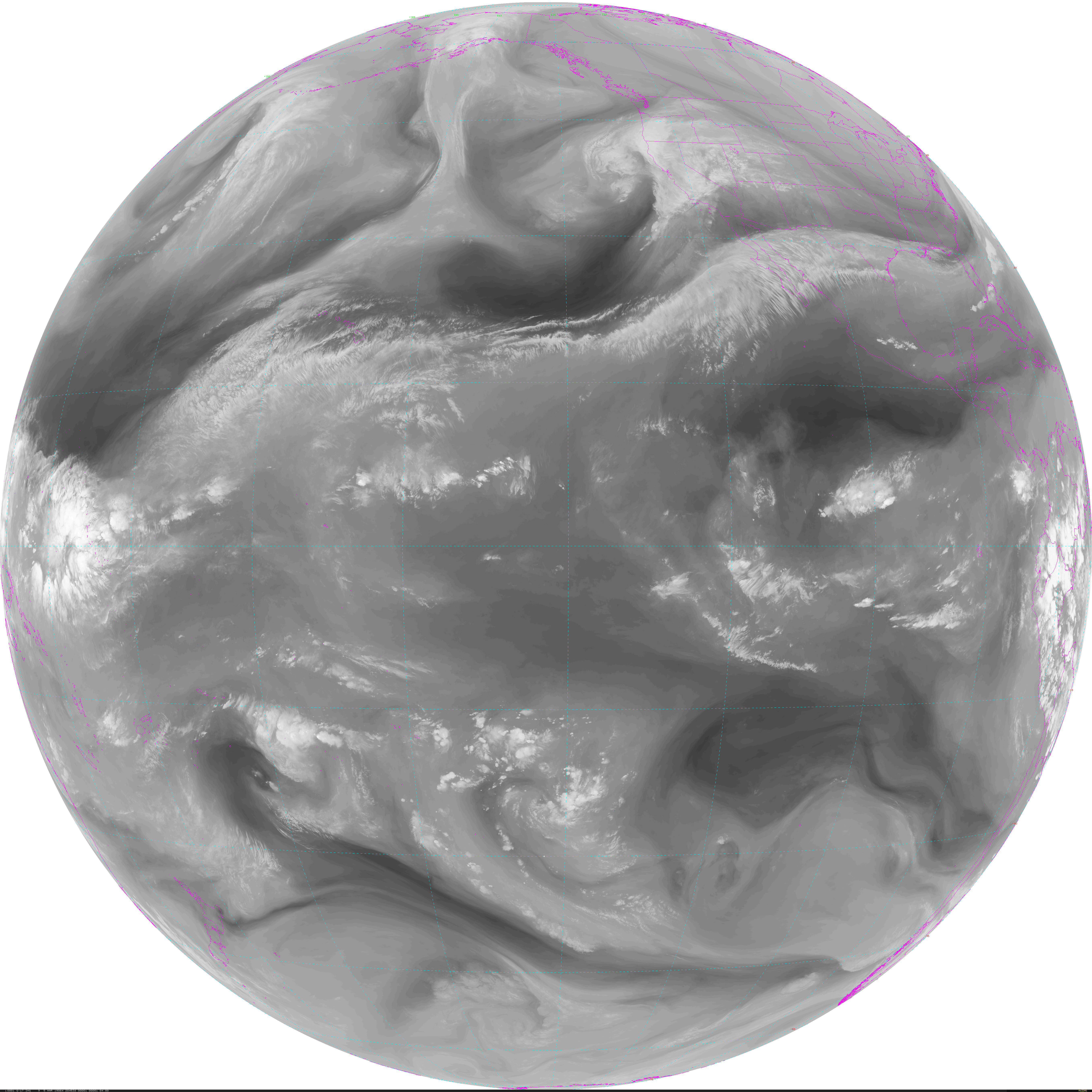
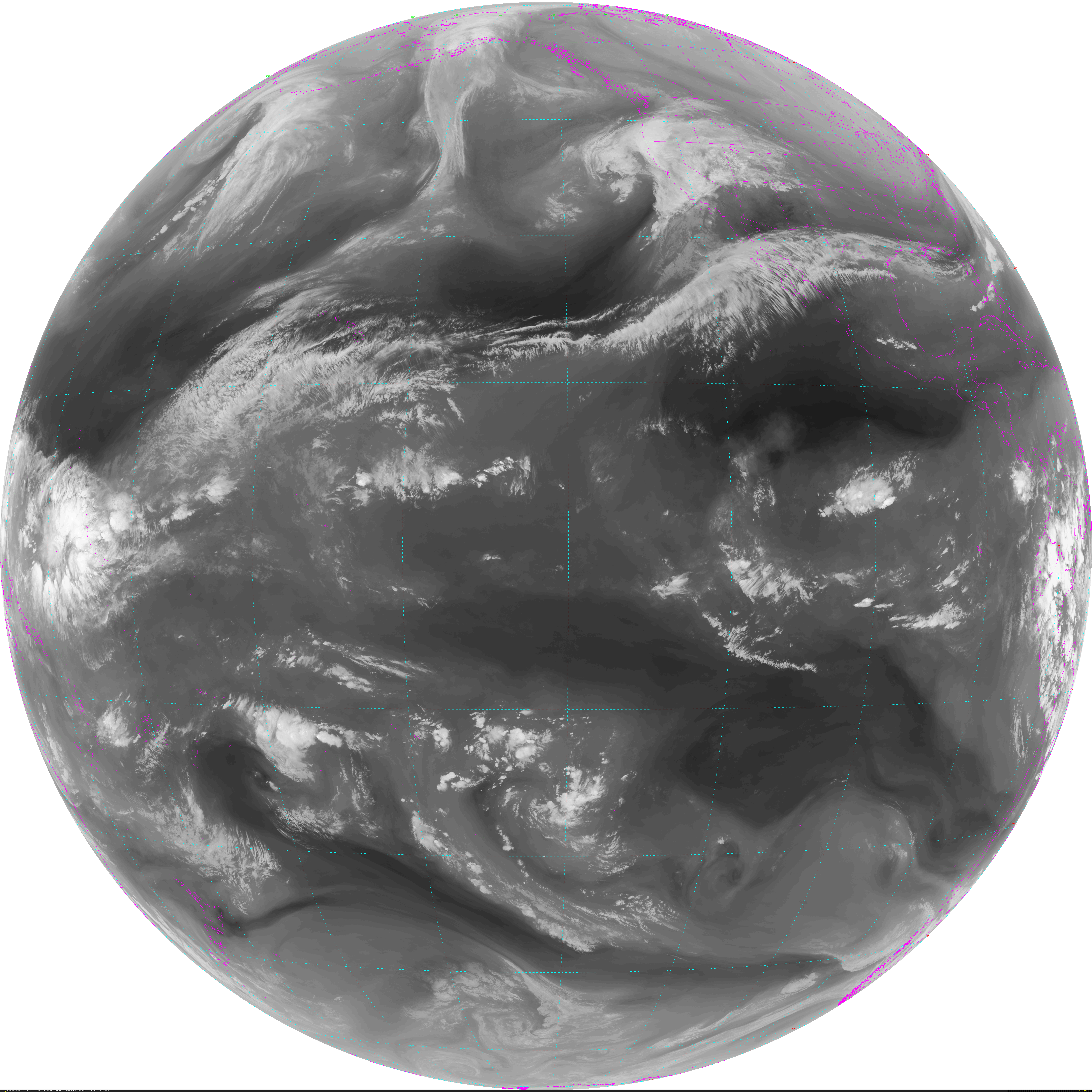
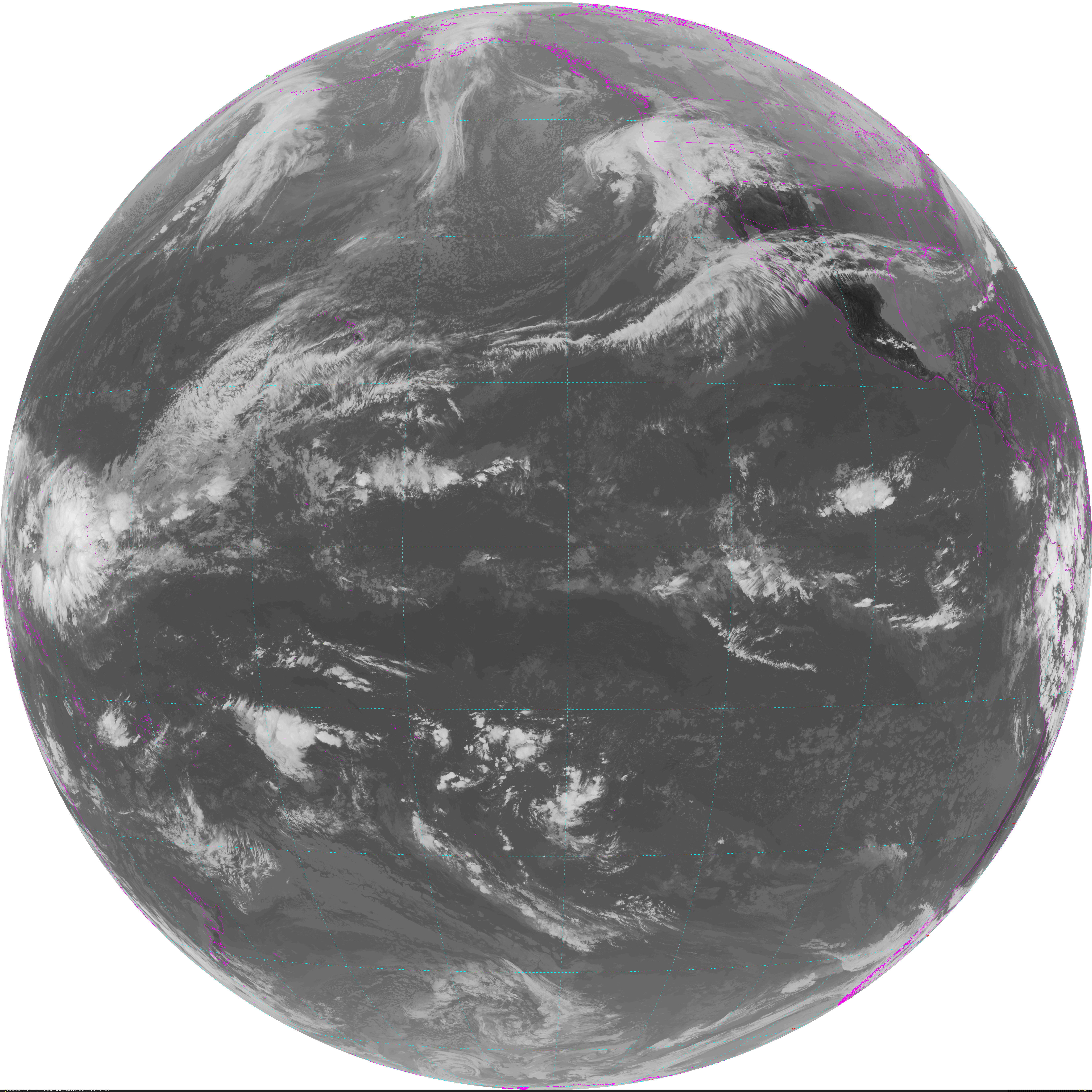
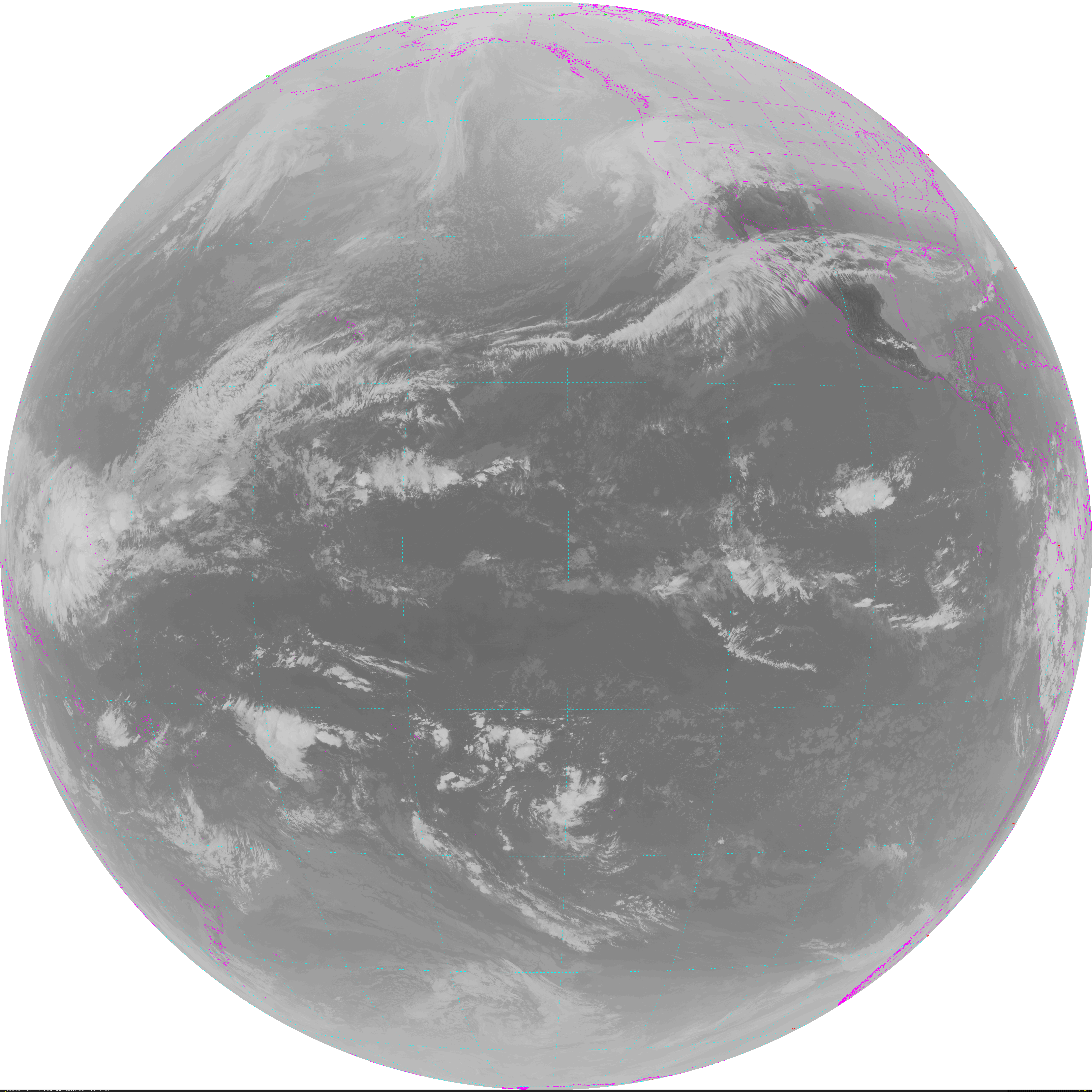
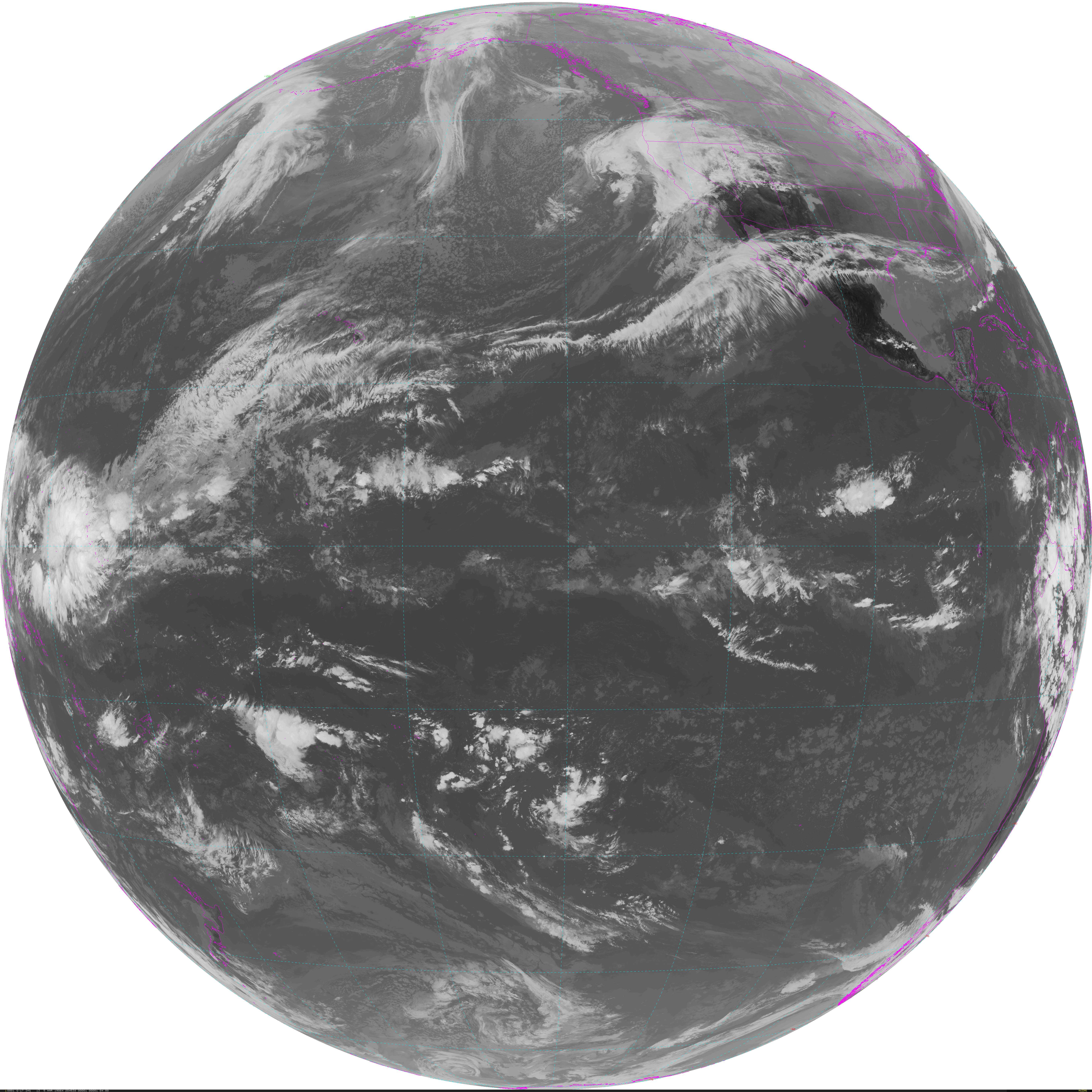
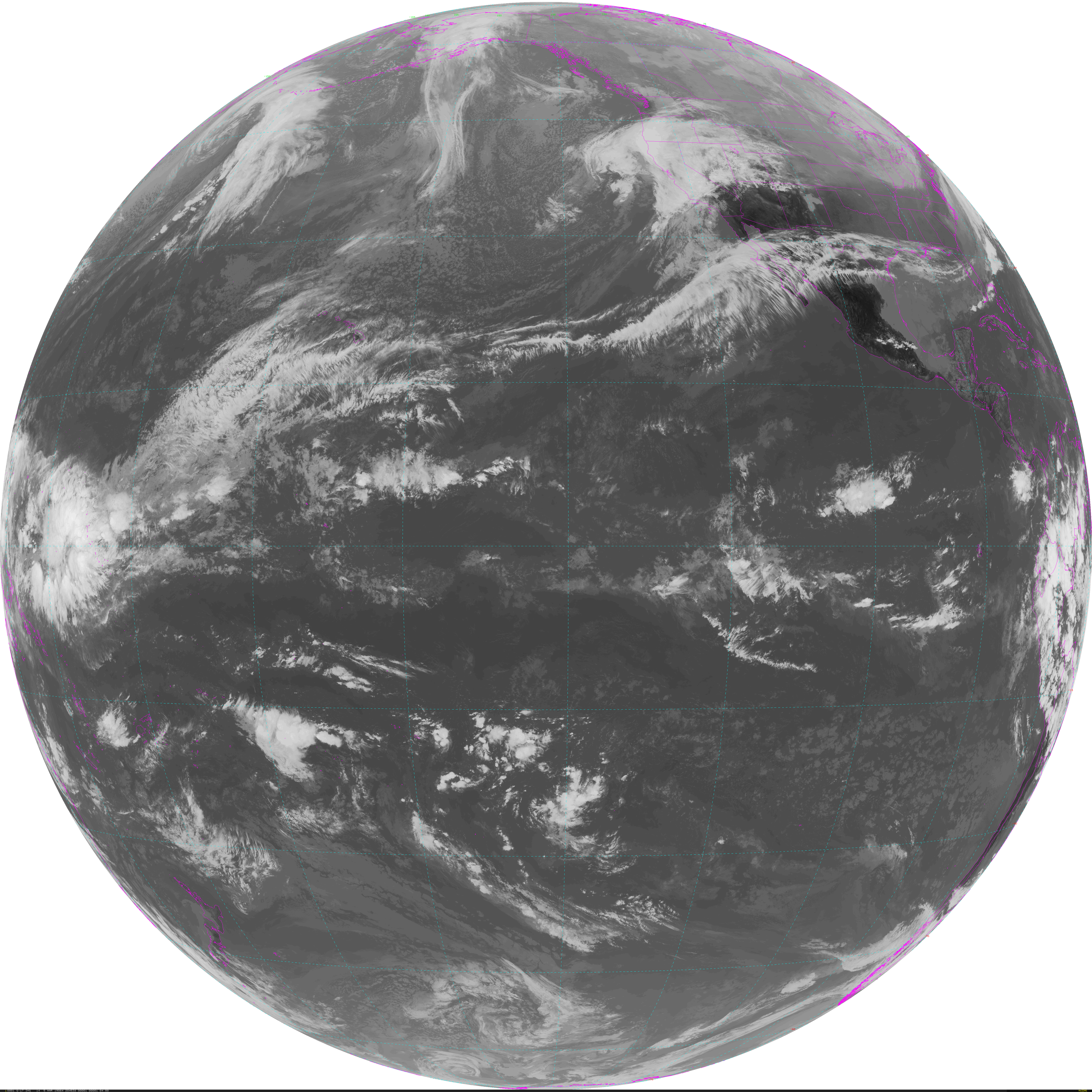
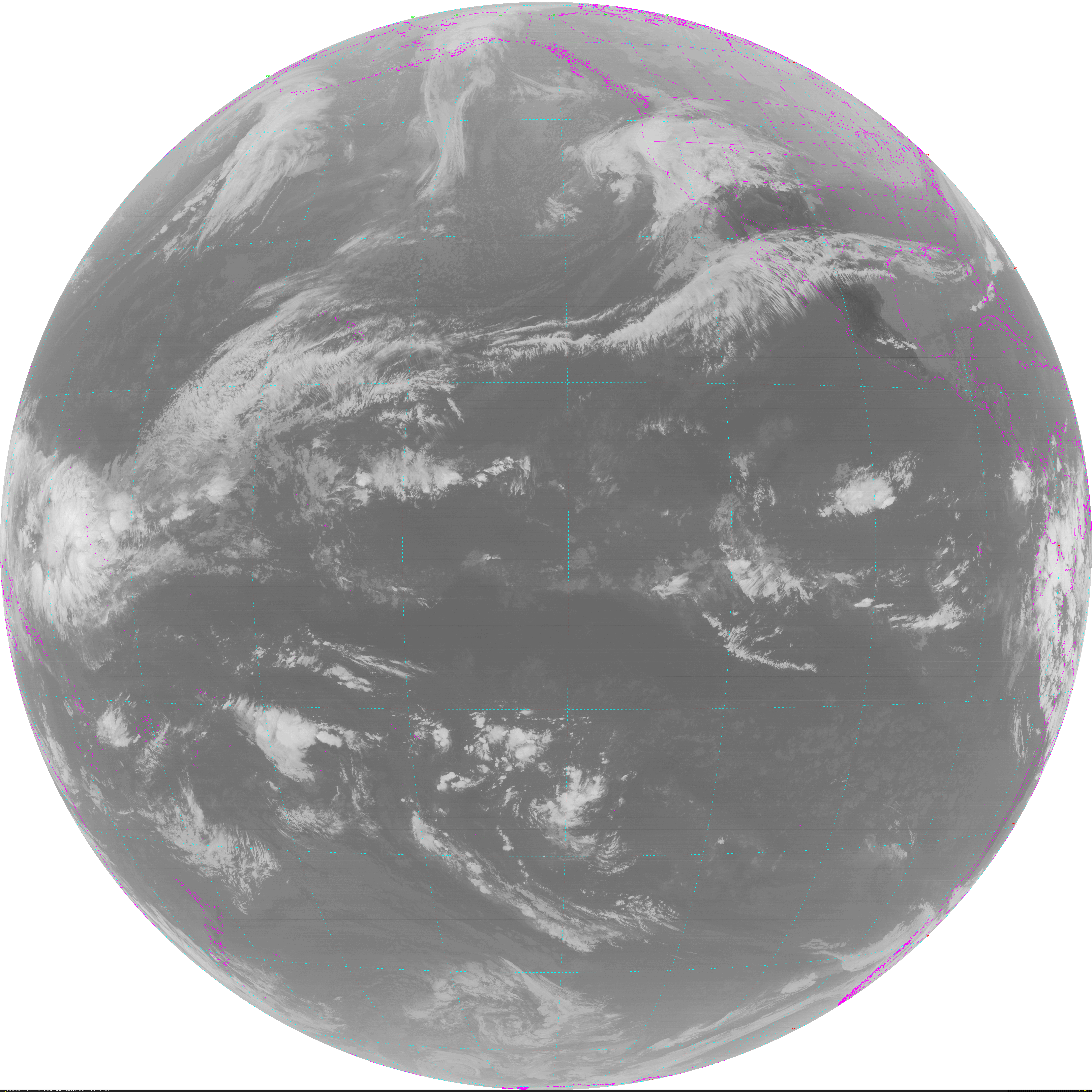
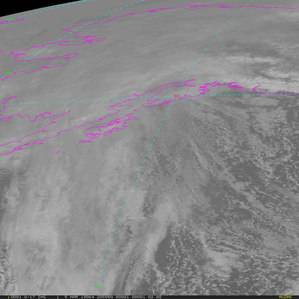
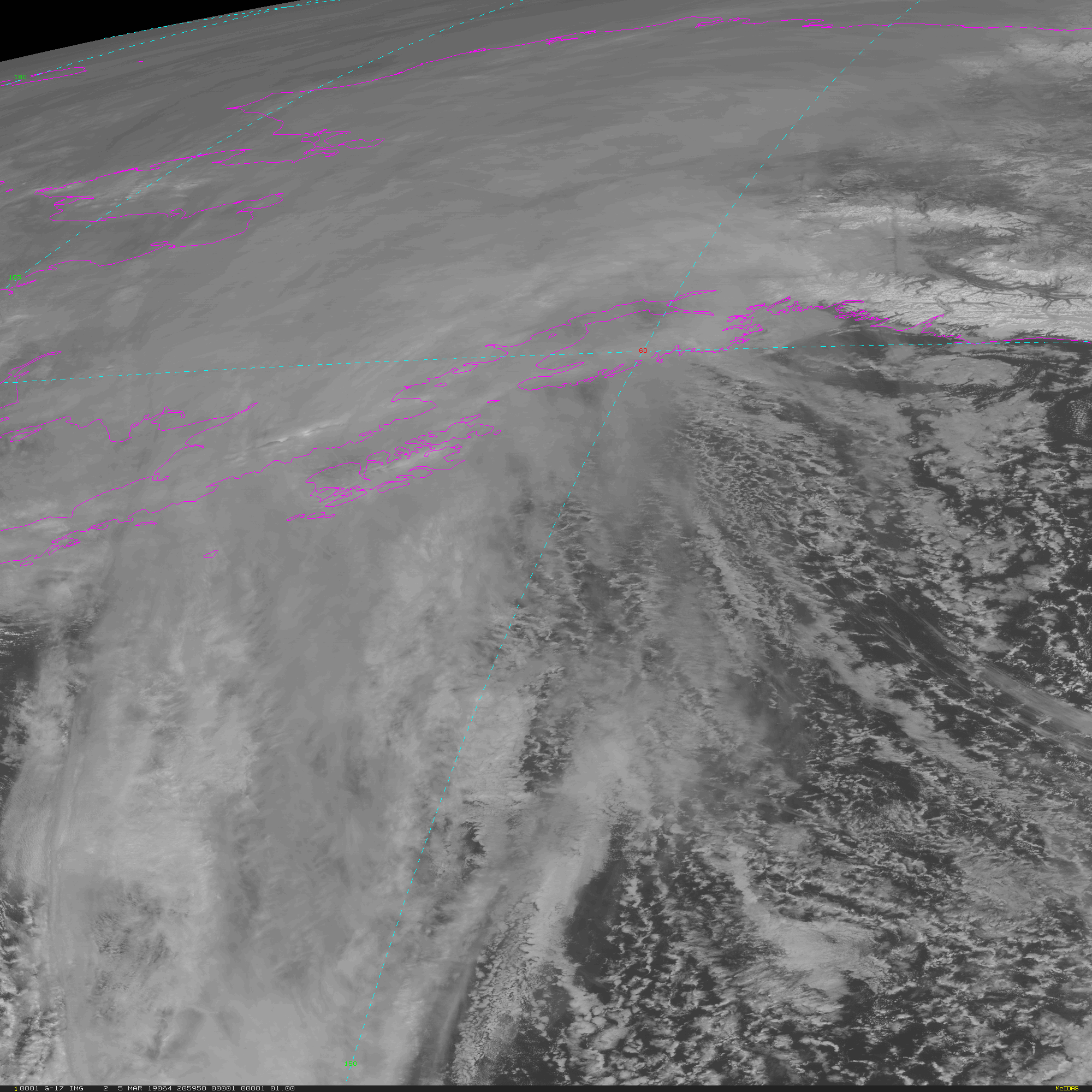
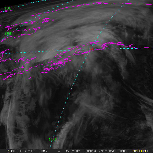
Full Disk - 15 minute Update Interval Mode 3, 5 minute Update Interval Mode 4, 10 minute Update Interval Mode 6
NB: thumbnails are links to full resolution images which may be LARGE

Channel  Description                                  Central Lat, Lon  Resolution [km]   Size [Lines x Elements]
--------+--------------------------------------------+-----------------+-----------------+-----------------------
Band  1  0.47 um VIS aerosol-over-land                     0N,  75W           1.00              10848 x 10848
Band  2  0.64 um VIS clouds fog, insol, winds              0N,  75W           0.50              21696 x 21696
Band  3  0.86 um Near IR veg/burn scar,aerosol, wind       0N,  75W           1.00              10848 x 10848
Band  4  1.37 um Near IR cirrus cloud                      0N,  75W           2.00               5424 x  5424
Band  5  1.61 um Near IR cloud phase, snow                 0N,  75W           1.00              10848 x 10848
Band  6  2.24 um Near IR land/cloud, vege, snow            0N,  75W           2.00               5424 x  5424
Band  7  3.89 um IR Sfc, cloud, fog, fire, winds           0N,  75W           2.00               5424 x  5424
Band  8  6.17 um IR High-level WV, winds, rainfall         0N,  75W           2.00               5424 x  5424
Band  9  6.93 um IR Mid-level WV, winds, rainfall          0N,  75W           2.00               5424 x  5424
Band 10  7.34 um IR Lower-level WV, winds & SO2            0N,  75W           2.00               5424 x  5424
Band 11  8.44 um IR Total WV cloud phase, dust             0N,  75W           2.00               5424 x  5424
Band 12  9.61 um IR Total ozone,turbulence,wind            0N,  75W           2.00               5424 x  5424
Band 13  10.3 um IR Surface & cloud                        0N,  75W           2.00               5424 x  5424
Band 14  11.2 um IR Imagery,SST,clouds,rainfall            0N,  75W           2.00               5424 x  5424
Band 15  12.3 um IR Total water, ash, and SST              0N,  75W           2.00               5424 x  5424
Band 16  13.3 um IR Air temp, cloud height and amount      0N,  75W           2.00               5424 x  5424

Example LDM/IDD Product ID:
GOES-16: /data/cspp-geo/GRB-R/OR_ABI-L1b-RadF-M6C15_G16_s20190521950170_e20190521959484_c20190521959546.nc

Example LDM configuration file REQUEST lines:
GOES-16: REQUEST SATELLITE "RadF.*G16" upstream_IDD_relay

Example LDM pattern-action file grbfile.sh action
Example LDM pattern-action file grbfile.sh script

NB: In LDM versions 6.13.6 and earlier, the IDD feed type will need to be specified as
DIFAX, not SATELLITE!
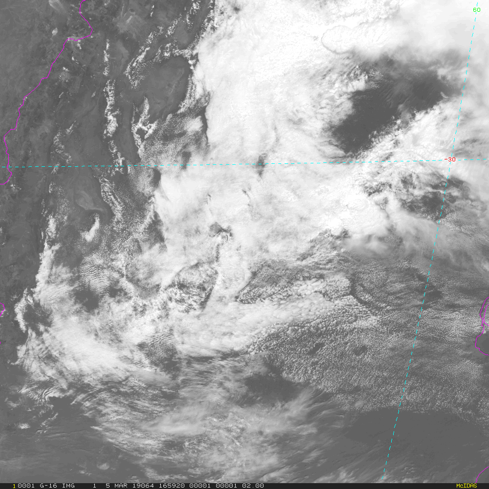
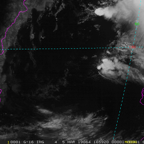
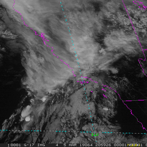
Mesoscale-1 - 1 minute Update Interval IF 2 Mesoscale Scans otherwise 30 seconds for Mode 3 or 6
NB: thumbnails are links to full resolution images

Channel  Description                                  Central Lat, Lon  Resolution [km]   Size [Lines x Elements]
--------+--------------------------------------------+-----------------+-----------------+-----------------------
Band  1  0.47 um VIS aerosol-over-land                     var, var           1.00               1000 x 1000
Band  2  0.64 um VIS clouds fog, insol, winds              var, var           0.50               2000 x 2000
Band  3  0.86 um Near IR veg/burn scar,aerosol, wind       var, var           1.00               1000 x 1000
Band  4  1.37 um Near IR cirrus cloud                      var, var           2.00                500 x  500
Band  5  1.61 um Near IR cloud phase, snow                 var, var           1.00               1000 x 1000
Band  6  2.24 um Near IR land/cloud, vege, snow            var, var           2.00                500 x  500
Band  7  3.89 um IR Sfc, cloud, fog, fire, winds           var, var           2.00                500 x  500
Band  8  6.17 um IR High-level WV, winds, rainfall         var, var           2.00                500 x  500
Band  9  6.93 um IR Mid-level WV, winds, rainfall          var, var           2.00                500 x  500
Band 10  7.34 um IR Lower-level WV, winds & SO2            var, var           2.00                500 x  500
Band 11  8.44 um IR Total WV cloud phase, dust             var, var           2.00                500 x  500
Band 12  9.61 um IR Total ozone,turbulence,wind            var, var           2.00                500 x  500
Band 13  10.3 um IR Surface & cloud                        var, var           2.00                500 x  500
Band 14  11.2 um IR Imagery,SST,clouds,rainfall            var, var           2.00                500 x  500
Band 15  12.3 um IR Total water, ash, and SST              var, var           2.00                500 x  500
Band 16  13.3 um IR Air temp, cloud height and amount      var, var           2.00                500 x  500

Example LDM/IDD Product ID:
GOES-16: /data/cspp-geo/GRB-R/OR_ABI-L1b-RadM1-M6C02_G16_s20190522006217_e20190522006274_c20190522006307.nc

Example LDM configuration file REQUEST line:
GOES-16: REQUEST SATELLITE "RadM1.*G16" upstream_IDD_relay

Example LDM pattern-action file grbfile.sh action
Example LDM pattern-action file grbfile.sh script

NB: In LDM versions 6.13.6 and earlier, the IDD feed type will need to be specified as
DIFAX, not SATELLITE!
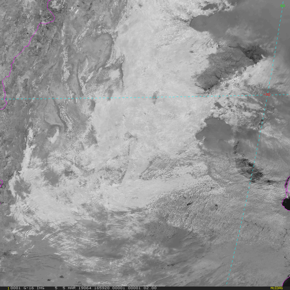
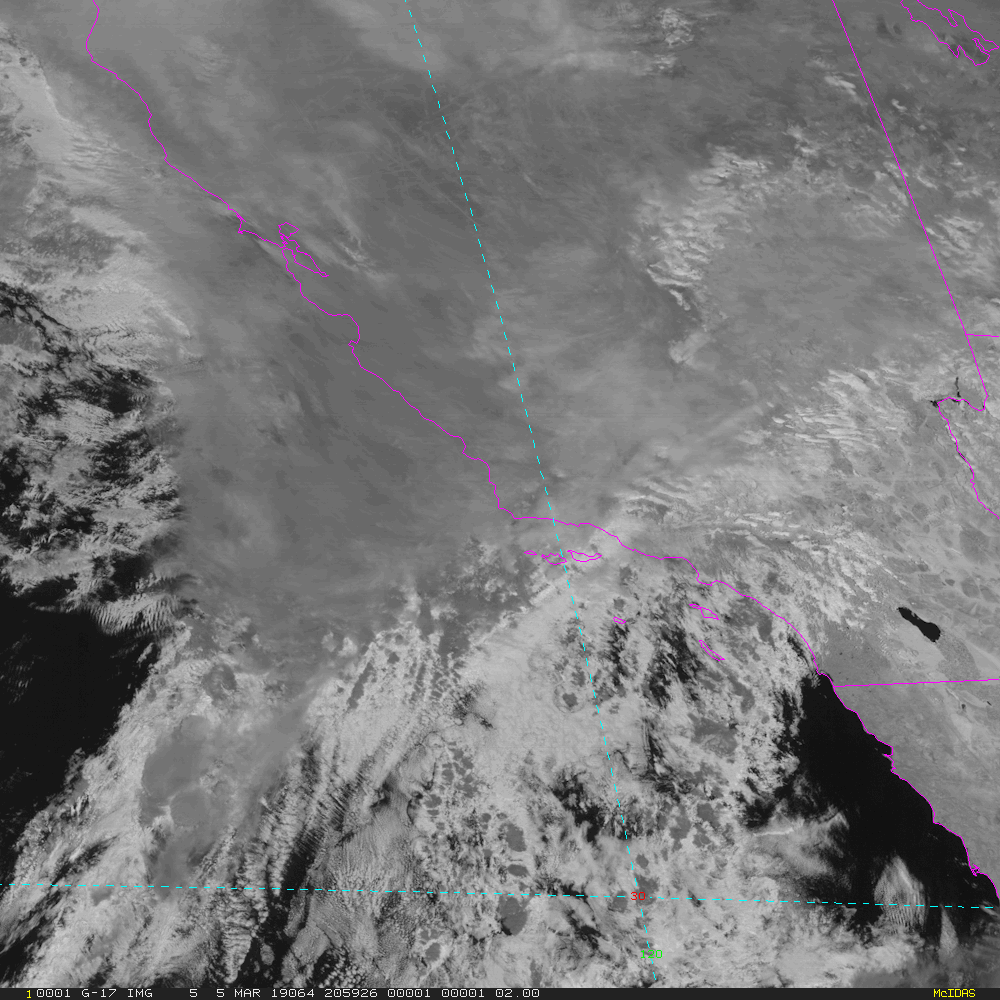
Mesoscale-2 - 1 minute Update Interval IF 2 Mesoscale Scans otherwise 30 seconds for Mode 3 or 6
NB: thumbnails are links to full resolution images

Channel  Description                                  Central Lat, Lon  Resolution [km]   Size [Lines x Elements]
--------+--------------------------------------------+-----------------+-----------------+-----------------------
Band  1  0.47 um VIS aerosol-over-land                     var, var           1.00               1000 x 1000
Band  2  0.64 um VIS clouds fog, insol, winds              var, var           0.50               2000 x 2000
Band  3  0.86 um Near IR veg/burn scar,aerosol, wind       var, var           1.00               1000 x 1000
Band  4  1.37 um Near IR cirrus cloud                      var, var           2.00                500 x  500
Band  5  1.61 um Near IR cloud phase, snow                 var, var           1.00               1000 x 1000
Band  6  2.24 um Near IR land/cloud, vege, snow            var, var           2.00                500 x  500
Band  7  3.89 um IR Sfc, cloud, fog, fire, winds           var, var           2.00                500 x  500
Band  8  6.17 um IR High-level WV, winds, rainfall         var, var           2.00                500 x  500
Band  9  6.93 um IR Mid-level WV, winds, rainfall          var, var           2.00                500 x  500
Band 10  7.34 um IR Lower-level WV, winds & SO2            var, var           2.00                500 x  500
Band 11  8.44 um IR Total WV cloud phase, dust             var, var           2.00                500 x  500
Band 12  9.61 um IR Total ozone,turbulence,wind            var, var           2.00                500 x  500
Band 13  10.3 um IR Surface & cloud                        var, var           2.00                500 x  500
Band 14  11.2 um IR Imagery,SST,clouds,rainfall            var, var           2.00                500 x  500
Band 15  12.3 um IR Total water, ash, and SST              var, var           2.00                500 x  500
Band 16  13.3 um IR Air temp, cloud height and amount      var, var           2.00                500 x  500

Example LDM/IDD Product ID:
GOES-16: /data/cspp-geo/GRB-R/OR_ABI-L1b-RadM2-M6C02_G16_s20190522011517_e20190522011574_c20190522012010.nc

Example LDM configuration file REQUEST line:
GOES-16: REQUEST SATELLITE "RadM2.*G16" upstream_IDD_relay

Example LDM pattern-action file grbfile.sh action
Example LDM pattern-action file grbfile.sh script

NB: In LDM versions 6.13.6 and earlier, the IDD feed type will need to be specified as
DIFAX, not SATELLITE!
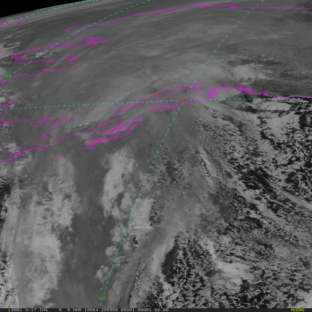
GOES-West (currently GOES-17) ABI Imagery Coverages, wavelength channels, resolutions and sizes
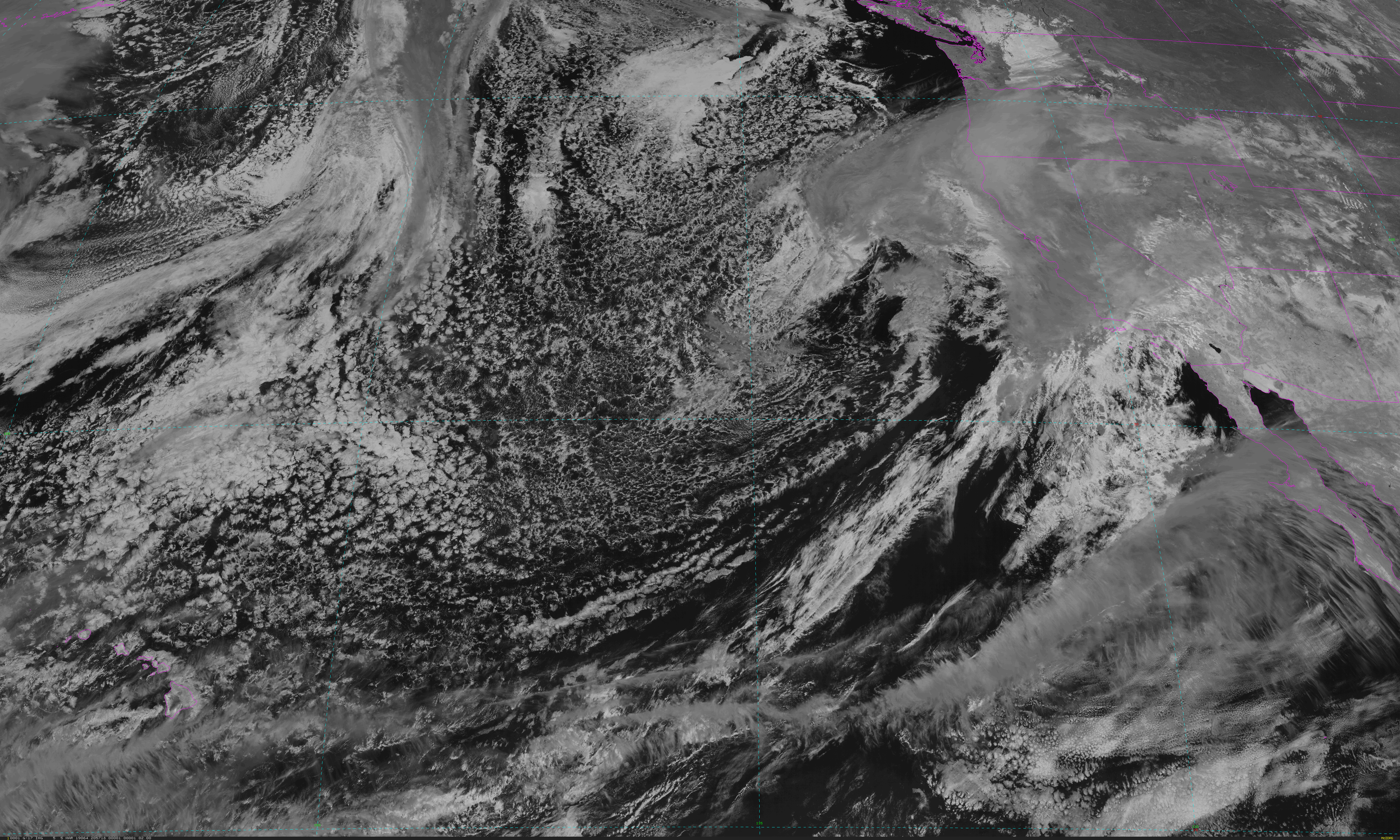
CONUS - 5 minute Update Interval for Mode 3 or 6
NB: thumbnails are links to full resolution images which may be LARGE

Channel  Description                                  Central Lat, Lon  Resolution [km]   Size [Lines x Elements]
--------+--------------------------------------------+-----------------+-----------------+-----------------------
Band  1  0.47 um VIS aerosol-over-land                    30N, 137W           1.00              3000 x 5000
Band  2  0.64 um VIS clouds fog, insol, winds             30N, 137W           0.50              6000 x10000
Band  3  0.86 um Near IR veg/burn scar,aerosol, wind      30N, 137W           1.00              3000 x 5000
Band  4  1.37 um Near IR cirrus cloud                     30N, 137W           2.00              1500 x 2500
Band  5  1.61 um Near IR cloud phase, snow                30N, 137W           1.00              3000 x 5000
Band  6  2.24 um Near IR land/cloud, vege, snow           30N, 137W           2.00              1500 x 2500
Band  7  3.89 um IR Sfc, cloud, fog, fire, winds          30N, 137W           2.00              1500 x 2500
Band  8  6.17 um IR High-level WV, winds, rainfall        30N, 137W           2.00              1500 x 2500
Band  9  6.93 um IR Mid-level WV, winds, rainfall         30N, 137W           2.00              1500 x 2500
Band 10  7.34 um IR Lower-level WV, winds & SO2           30N, 137W           2.00              1500 x 2500
Band 11  8.44 um IR Total WV cloud phase, dust            30N, 137W           2.00              1500 x 2500
Band 12  9.61 um IR Total ozone,turbulence,wind           30N, 137W           2.00              1500 x 2500
Band 13  10.3 um IR Surface & cloud                       30N, 137W           2.00              1500 x 2500
Band 14  11.2 um IR Imagery,SST,clouds,rainfall           30N, 137W           2.00              1500 x 2500
Band 15  12.3 um IR Total water, ash, and SST             30N, 137W           2.00              1500 x 2500
Band 16  13.3 um IR Air temp, cloud height and amount     30N, 137W           2.00              1500 x 2500

Example LDM/IDD Product ID:
GOES-17: /data/cspp-geo/WEST/OR_ABI-L1b-RadC-M6C11_G17_s20190521946196_e20190521948569_c20190521949012.nc

Example LDM configuration file REQUEST line:
GOES-17: REQUEST SATELLITE "RadC.*G17" upstream_IDD_relay

Example LDM pattern-action file grbfile.sh action
Example LDM pattern-action file grbfile.sh script

NB: In LDM versions 6.13.6 and earlier, the IDD feed type will need to be specified as
DIFAX, not SATELLITE!
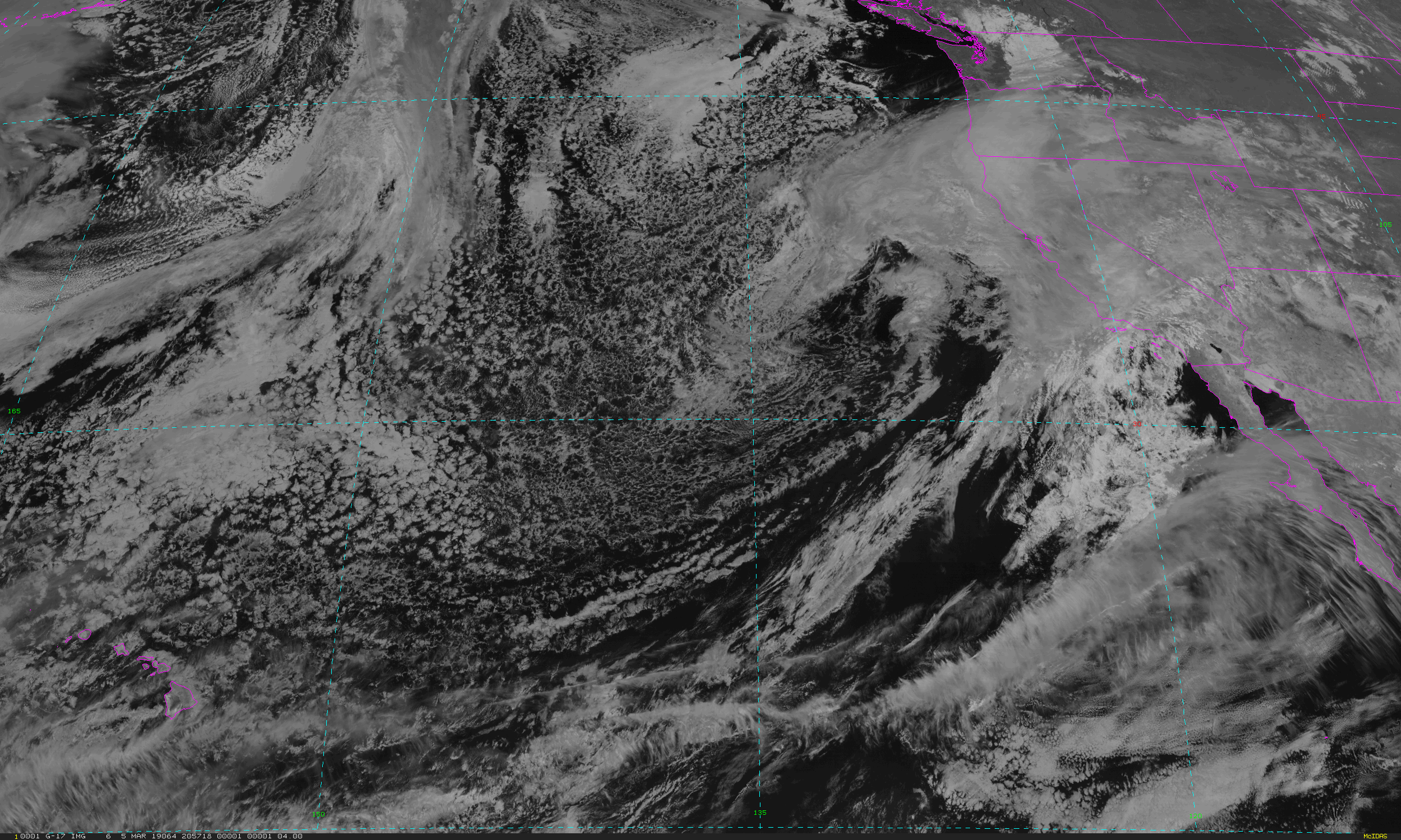
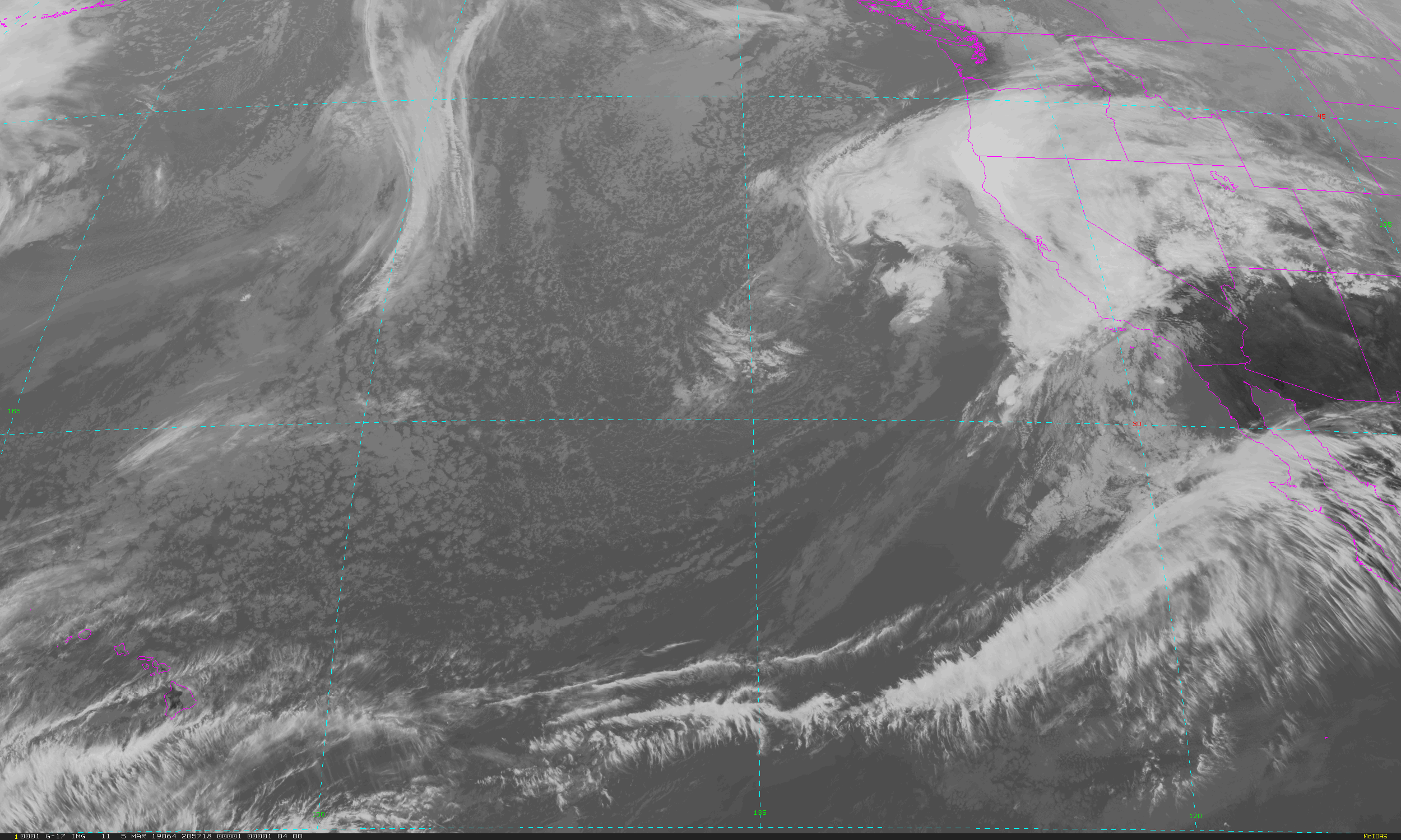
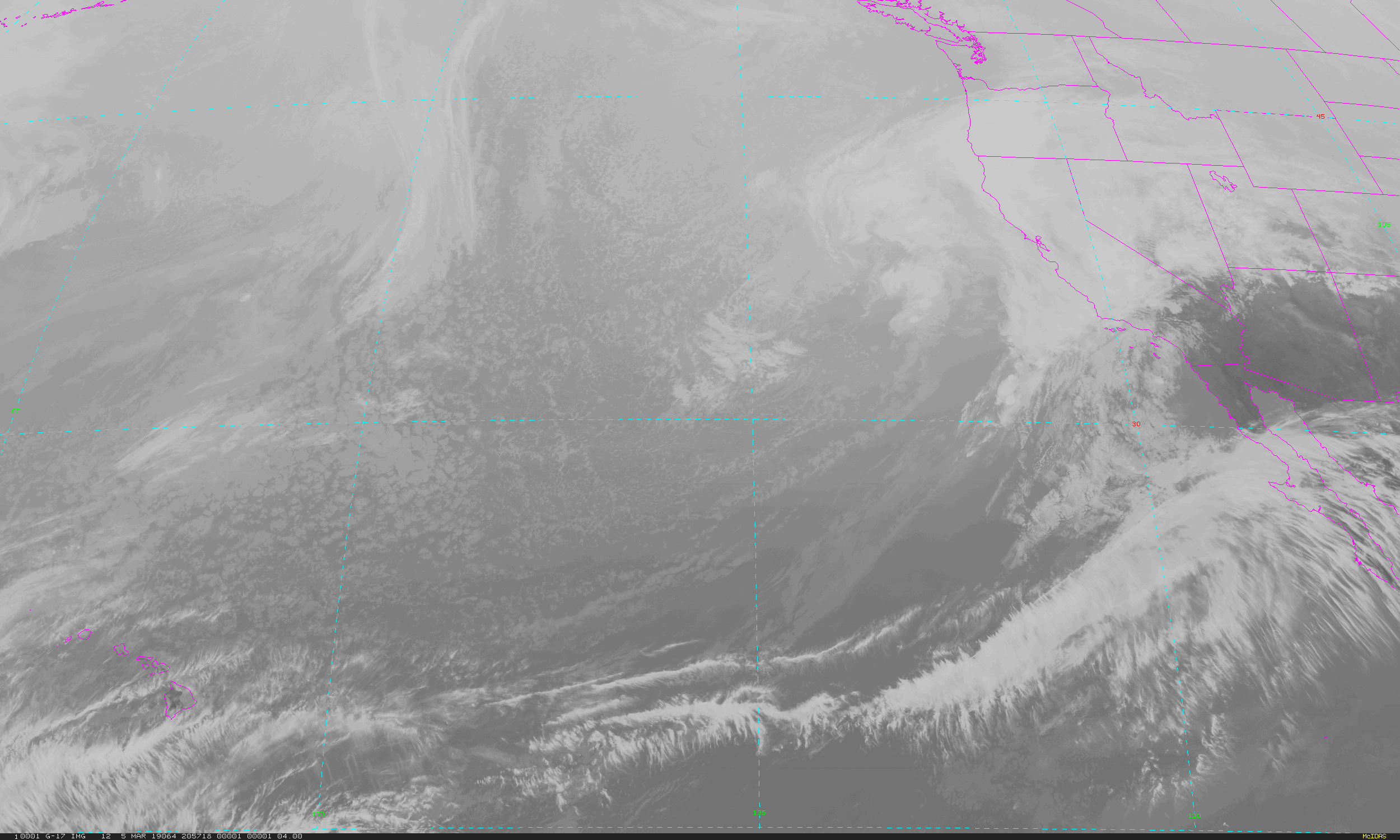
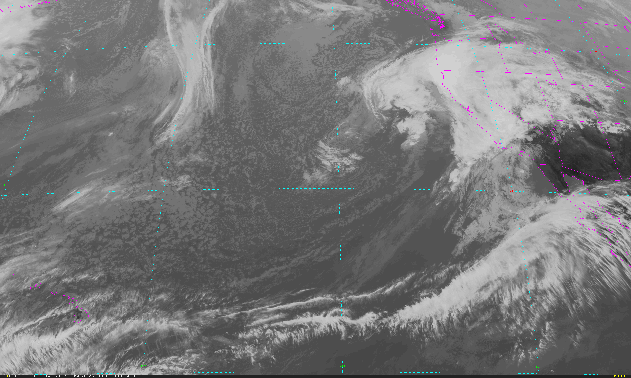
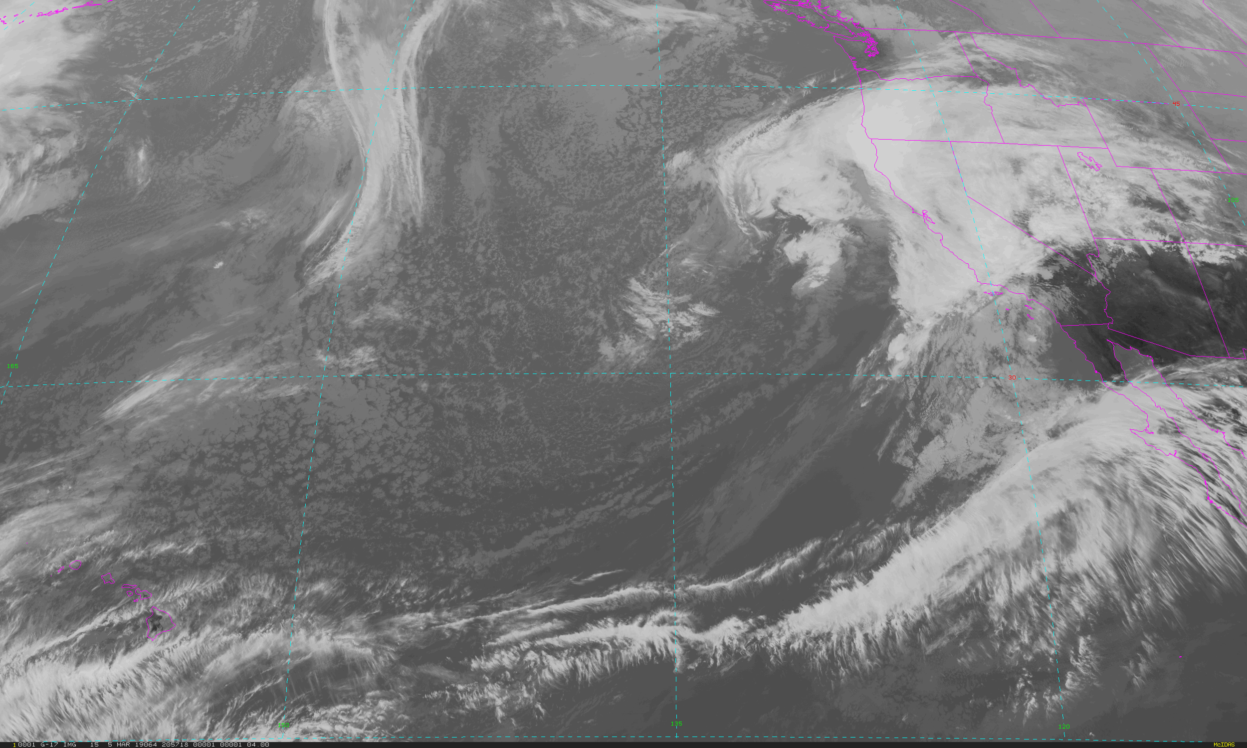
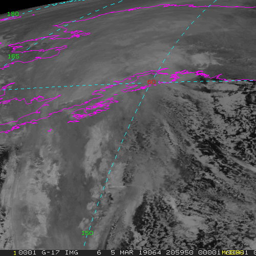
Full Disk - 15 minute Update Interval Mode 3, 5 minute Update Interval Mode 4, 10 minute Update Interval Mode 6
NB: thumbnails are links to full resolution images which may be LARGE

Channel  Description                                  Central Lat, Lon  Resolution [km]   Size [Lines x Elements]
--------+--------------------------------------------+-----------------+-----------------+-----------------------
Band  1  0.47 um VIS aerosol-over-land                     0N, 137W           1.00              10848 x 10848
Band  2  0.64 um VIS clouds fog, insol, winds              0N, 137W           0.50              21696 x 21696
Band  3  0.86 um Near IR veg/burn scar,aerosol, wind       0N, 137W           1.00              10848 x 10848
Band  4  1.37 um Near IR cirrus cloud                      0N, 137W           2.00               5424 x  5424
Band  5  1.61 um Near IR cloud phase, snow                 0N, 137W           1.00              10848 x 10848
Band  6  2.24 um Near IR land/cloud, vege, snow            0N, 137W           2.00               5424 x  5424
Band  7  3.89 um IR Sfc, cloud, fog, fire, winds           0N, 137W           2.00               5424 x  5424
Band  8  6.17 um IR High-level WV, winds, rainfall         0N, 137W           2.00               5424 x  5424
Band  9  6.93 um IR Mid-level WV, winds, rainfall          0N, 137W           2.00               5424 x  5424
Band 10  7.34 um IR Lower-level WV, winds & SO2            0N, 137W           2.00               5424 x  5424
Band 11  8.44 um IR Total WV cloud phase, dust             0N, 137W           2.00               5424 x  5424
Band 12  9.61 um IR Total ozone,turbulence,wind            0N, 137W           2.00               5424 x  5424
Band 13  10.3 um IR Surface & cloud                        0N, 137W           2.00               5424 x  5424
Band 14  11.2 um IR Imagery,SST,clouds,rainfall            0N, 137W           2.00               5424 x  5424
Band 15  12.3 um IR Total water, ash, and SST              0N, 137W           2.00               5424 x  5424
Band 16  13.3 um IR Air temp, cloud height and amount      0N, 137W           2.00               5424 x  5424

Example LDM/IDD Product ID:
GOES-17: /data/cspp-geo/WEST/OR_ABI-L1b-RadF-M6C15_G17_s20190521950341_e20190521959413_c20190521959459.nc

Example LDM configuration file REQUEST lines:
GOES-17: REQUEST SATELLITE "RadF.*G17" upstream_IDD_relay

Example LDM pattern-action file grbfile.sh action
Example LDM pattern-action file grbfile.sh script

NB: In LDM versions 6.13.6 and earlier, the IDD feed type will need to be specified as
DIFAX, not SATELLITE!
Mesoscale-1 - 1 minute Update Interval IF 2 Mesoscale Scans otherwise 30 seconds for Mode 3 or 6
NB: thumbnails are links to full resolution images

Channel  Description                                  Central Lat, Lon  Resolution [km]   Size [Lines x Elements]
--------+--------------------------------------------+-----------------+-----------------+-----------------------
Band  1  0.47 um VIS aerosol-over-land                     var, var           1.00              1000 x 1000
Band  2  0.64 um VIS clouds fog, insol, winds              var, var           0.50              2000 x 2000
Band  3  0.86 um Near IR veg/burn scar,aerosol, wind       var, var           1.00              1000 x 1000
Band  4  1.37 um Near IR cirrus cloud                      var, var           2.00               500 x  500
Band  5  1.61 um Near IR cloud phase, snow                 var, var           1.00              1000 x 1000
Band  6  2.24 um Near IR land/cloud, vege, snow            var, var           2.00               500 x  500
Band  7  3.89 um IR Sfc, cloud, fog, fire, winds           var, var           2.00               500 x  500
Band  8  6.17 um IR High-level WV, winds, rainfall         var, var           2.00               500 x  500
Band  9  6.93 um IR Mid-level WV, winds, rainfall          var, var           2.00               500 x  500
Band 10  7.34 um IR Lower-level WV, winds & SO2            var, var           2.00               500 x  500
Band 11  8.44 um IR Total WV cloud phase, dust             var, var           2.00               500 x  500
Band 12  9.61 um IR Total ozone,turbulence,wind            var, var           2.00               500 x  500
Band 13  10.3 um IR Surface & cloud                        var, var           2.00               500 x  500
Band 14  11.2 um IR Imagery,SST,clouds,rainfall            var, var           2.00               500 x  500
Band 15  12.3 um IR Total water, ash, and SST              var, var           2.00               500 x  500
Band 16  13.3 um IR Air temp, cloud height and amount      var, var           2.00               500 x  500

Example LDM/IDD Product ID:
GOES-17: /data/cspp-geo/WEST/OR_ABI-L1b-RadM1-M6C09_G17_s20190521959275_e20190521959338_c20190521959371.nc

Example LDM configuration file REQUEST line:
GOES-17: REQUEST SATELLITE "RadM1.*G17" upstream_IDD_relay

Example LDM pattern-action file grbfile.sh action
Example LDM pattern-action file grbfile.sh script

NB: In LDM versions 6.13.6 and earlier, the IDD feed type will need to be specified as
DIFAX, not SATELLITE!
Mesoscale-2 - 1 minute Update Interval IF 2 Mesoscale Scans otherwise 30 seconds for Mode 3 or 6
NB: thumbnails are links to full resolution images

Channel  Description                                  Central Lat, Lon  Resolution [km]   Size [Lines x Elements]
--------+--------------------------------------------+-----------------+-----------------+-----------------------
Band  1  0.47 um VIS aerosol-over-land                     var, var           1.00              1000 x 1000
Band  2  0.64 um VIS clouds fog, insol, winds              var, var           0.50              2000 x 2000
Band  3  0.86 um Near IR veg/burn scar,aerosol, wind       var, var           1.00              1000 x 1000
Band  4  1.37 um Near IR cirrus cloud                      var, var           2.00               500 x  500
Band  5  1.61 um Near IR cloud phase, snow                 var, var           1.00              1000 x 1000
Band  6  2.24 um Near IR land/cloud, vege, snow            var, var           2.00               500 x  500
Band  7  3.89 um IR Sfc, cloud, fog, fire, winds           var, var           2.00               500 x  500
Band  8  6.17 um IR High-level WV, winds, rainfall         var, var           2.00               500 x  500
Band  9  6.93 um IR Mid-level WV, winds, rainfall          var, var           2.00               500 x  500
Band 10  7.34 um IR Lower-level WV, winds & SO2            var, var           2.00               500 x  500
Band 11  8.44 um IR Total WV cloud phase, dust             var, var           2.00               500 x  500
Band 12  9.61 um IR Total ozone,turbulence,wind            var, var           2.00               500 x  500
Band 13  10.3 um IR Surface & cloud                        var, var           2.00               500 x  500
Band 14  11.2 um IR Imagery,SST,clouds,rainfall            var, var           2.00               500 x  500
Band 15  12.3 um IR Total water, ash, and SST              var, var           2.00               500 x  500
Band 16  13.3 um IR Air temp, cloud height and amount      var, var           2.00               500 x  500

Example LDM/IDD Product ID:
GOES-17: /data/cspp-geo/WEST/OR_ABI-L1b-RadM2-M6C09_G17_s20190522011575_e20190522012038_c20190522012071.nc

Example LDM configuration file REQUEST line:
GOES-17: REQUEST SATELLITE "RadM2.*G17" upstream_IDD_relay

Example LDM pattern-action file grbfile.sh action
Example LDM pattern-action file grbfile.sh script

NB: In LDM versions 6.13.6 and earlier, the IDD feed type will need to be specified as
DIFAX, not SATELLITE!
GLM - Geostationary Lightning Mapper Products
Example LDM/IDD Product IDs:
GOES-16: /data/cspp-geo/GRB-R/OR_GLM-L2-LCFA_G16_s20190522013400_e20190522014000_c20190522014030.nc
GOES-17: /data/cspp-geo/WEST/OR_GLM-L2-LCFA_G17_s20190522013400_e20190522014000_c20190522014018.nc

Example LDM configuration file REQUEST line:
GOES-16: REQUEST SATELLITE "GLM.*G16" upstream_IDD_relay
GOES-17: REQUEST SATELLITE "GLM.*G17" upstream_IDD_relay

Example LDM pattern-action file grbfile.sh action
Example LDM pattern-action file grbfile.sh script

NB: In LDM versions 6.13.6 and earlier, the IDD feed type will need to be specified as
DIFAX, not SATELLITE!
EXIS - Extreme Ultraviolet and X-Ray Irradiance Sensors Products
Example LDM/IDD Product ID:
GOES-16: /data/cspp-geo/GRB-R/OR_EXIS-L1b-SFEU_G16_s20190522015300_e20190522016000_c20190522016056.nc
GOES-17: /data/cspp-geo/WEST/OR_EXIS-L1b-SFEU_G17_s20190522015300_e20190522016000_c20190522016054.nc

Example LDM configuration file REQUEST line:
GOES-16: REQUEST SATELLITE "EXIS.*G16" upstream_IDD_relay
GOES-17: REQUEST SATELLITE "EXIS.*G17" upstream_IDD_relay

Example LDM pattern-action file grbfile.sh action
Example LDM pattern-action file grbfile.sh script

NB: In LDM versions 6.13.6 and earlier, the IDD feed type will need to be specified as
DIFAX, not SATELLITE!
MAG - Magnetometer Products
Example LDM/IDD Product ID:
GOES-16: /data/cspp-geo/GRB-R/OR_MAG-L1b-GEOF_G16_s20190522016000_e20190522016599_c20190522017003.nc
GOES-17: /data/cspp-geo/WEST/OR_MAG-L1b-GEOF_G17_s20190522016000_e20190522016599_c20190522017003.nc

Example LDM configuration file REQUEST line:
GOES-16: REQUEST SATELLITE "MAG.*G16" upstream_IDD_relay
GOES-17: REQUEST SATELLITE "MAG.*G17" upstream_IDD_relay

Example LDM pattern-action file grbfile.sh action
Example LDM pattern-action file grbfile.sh script

NB: In LDM versions 6.13.6 and earlier, the IDD feed type will need to be specified as
DIFAX, not SATELLITE!
SEIS - Space Environment In-Situ Suite Products
Example LDM/IDD Product ID:
GOES-16: /data/cspp-geo/GRB-R/OR_SEIS-L1b-MPSH_G16_s20190522018000_e20190522018290_c20190522018304.nc
GOES-17: /data/cspp-geo/WEST/OR_SEIS-L1b-MPSL_G17_s20190522018000_e20190522018290_c20190522018302.nc

Example LDM configuration file REQUEST line:
GOES-16: REQUEST SATELLITE "SEIS.*G16" upstream_IDD_relay
GOES-17: REQUEST SATELLITE "SEIS.*G16" upstream_IDD_relay

Example LDM pattern-action file grbfile.sh action
Example LDM pattern-action file grbfile.sh script

NB: In LDM versions 6.13.6 and earlier, the IDD feed type will need to be specified as
DIFAX, not SATELLITE!
SUVI - Solar Ultraviolet Imager Products
Example LDM/IDD Product ID:
GOES-16: /data/cspp-geo/GRB-R/OR_SUVI-L1b-Fe195_G16_s20190522020242_e20190522020252_c20190522020448.nc
GOES-17: /data/cspp-geo/WEST/OR_SUVI-L1b-Fe195_G17_s20190522020319_e20190522020319_c20190522020516.nc

Example LDM configuration file REQUEST line:
GOES-16: REQUEST SATELLITE "SUVI.*G16" upstream_IDD_relay
GOES-17: REQUEST SATELLITE "SUVI.*G17" upstream_IDD_relay

Example LDM pattern-action file grbfile.sh action
Example LDM pattern-action file grbfile.sh script

NB: In LDM versions 6.13.6 and earlier, the IDD feed type will need to be specified as
DIFAX, not SATELLITE!
GOES-East All ABI Imagery
Example LDM/IDD Product IDs:
GOES-16:
/data/cspp-geo/GRB-R/OR_ABI-L1b-RadC-M6C16_G16_s20190522016138_e20190522018523_c20190522018562.nc
/data/cspp-geo/GRB-R/OR_ABI-L1b-RadF-M6C07_G16_s20190522010170_e20190522019490_c20190522019529.nc
/data/cspp-geo/GRB-R/OR_ABI-L1b-RadM1-M6C02_G16_s20190522015217_e20190522015274_c20190522015308.nc
/data/cspp-geo/GRB-R/OR_ABI-L1b-RadM2-M6C13_G16_s20190522014517_e20190522014585_c20190522015018.nc

GOES-17:
/data/cspp-geo/WEST/OR_ABI-L1b-RadC-M6C14_G17_s20190522016196_e20190522018569_c20190522019011.nc
/data/cspp-geo/WEST/OR_ABI-L1b-RadF-M6C14_G17_s20190522010341_e20190522019407_c20190522019461.nc
/data/cspp-geo/WEST/OR_ABI-L1b-RadM1-M6C03_G17_s20190522018275_e20190522018332_c20190522018367.nc
/data/cspp-geo/WEST/OR_ABI-L1b-RadM2-M6C08_G17_s20190522014575_e20190522015032_c20190522015071.nc

Example LDM configuration file REQUEST line:
REQUEST SATELLITE "ABI" upstream_IDD_relay

Example LDM pattern-action file FILE action
GOES-East All Products Except ABI Imagery
Example LDM/IDD Product IDs:
GOES-16:
/data/cspp-geo/GRB-R/OR_EXIS-L1b-SFXR_G16_s20190522030316_e20190522031016_c20190522031020.nc
/data/cspp-geo/GRB-R/OR_GLM-L2-LCFA_G16_s20190522030400_e20190522031000_c20190522031026.nc
/data/cspp-geo/GRB-R/OR_MAG-L1b-GEOF_G16_s20190522030000_e20190522030599_c20190522031003.nc
/data/cspp-geo/GRB-R/OR_SEIS-L1b-MPSH_G16_s20190522030300_e20190522030590_c20190522031003.nc
/data/cspp-geo/GRB-R/OR_SUVI-L1b-Fe093_G16_s20190522030442_e20190522030452_c20190522031041.nc

GOES-17:
/data/cspp-geo/WEST/OR_EXIS-L1b-SFEU_G17_s20190522032300_e20190522033000_c20190522033057.nc
/data/cspp-geo/WEST/OR_GLM-L2-LCFA_G17_s20190522032400_e20190522033000_c20190522033019.nc
/data/cspp-geo/WEST/OR_MAG-L1b-GEOF_G17_s20190522032000_e20190522032599_c20190522033003.nc
/data/cspp-geo/WEST/OR_SEIS-L1b-MPSH_G17_s20190522032300_e20190522032590_c20190522033004.nc
/data/cspp-geo/WEST/OR_SUVI-L1b-Fe093_G17_s20190522032519_e20190522032519_c20190522033120.nc

Example LDM configuration file REQUEST line:
REQUEST SATELLITE "(GLM|EXIS|MAG|SEIS|SUVI)" upstream_IDD_relay

Example LDM pattern-action file FILE action