AWIPS II Imagery
Status Report: April 2013 - September 2013
Michael James, Linda Miller, Jeff Weber
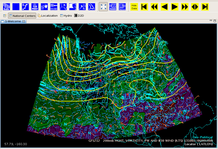
Current Capabilities
AWIPS II has the capability to display nearly the entire IDD/LDM datastream. It currently does not have a decoder to apply to the (National Profiler Network) NPN native netCDF data on the FSL2 feedtype. Given the NPN "budget" this may not be a big issue. Unidata is currently visualizing grids, satellite, radar, and text.
- Gridded data
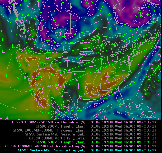
- GFS contours
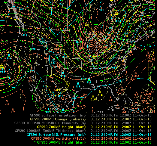
- GFS filled
- NCP example (from migrated GEMPAK resource file)
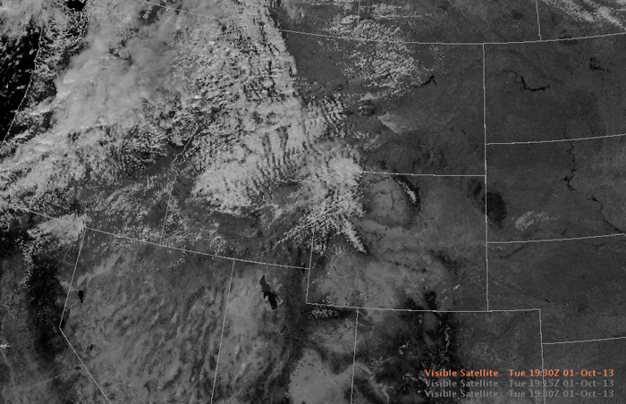
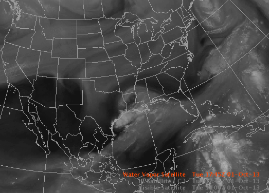
- Satellite
- GOES-W Visible
- GOES-IR (super national)
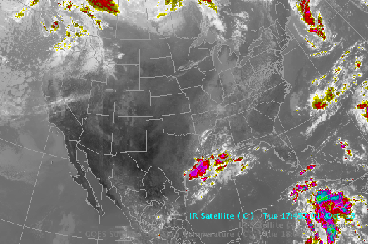
- GOES-WV(super-national)
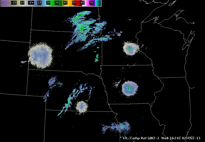
- RADAR
- OAX regional composite
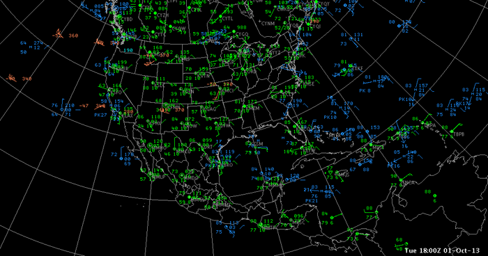
- Observations
- Metar, Marine and PiReps
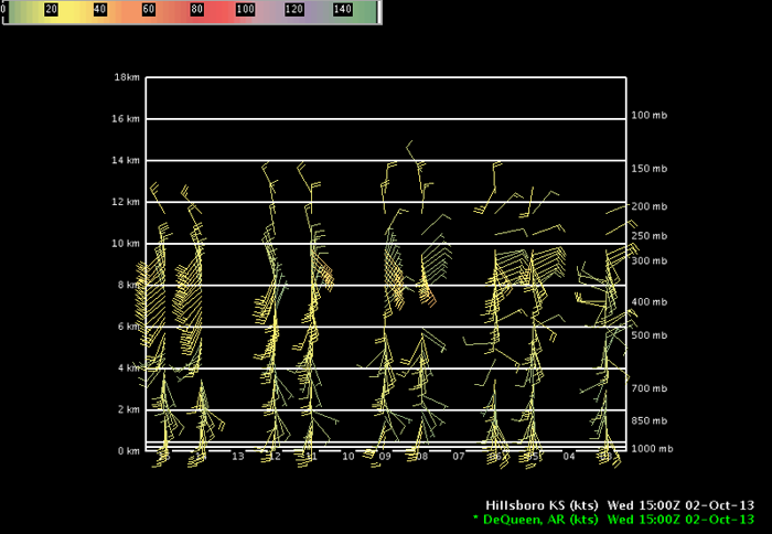
- Profiler Network
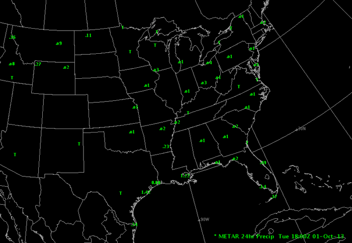
- 24 hour precip from METAR
Text
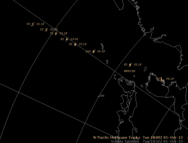
- West Pacific Hurricane Track (parsed text)
Prepared October 2013