> Hello IDV support,
>
> I'm working on loading a suite of satellite images into IDV. The files are in
> netCDF format but none of the dropdown reading options seem to be applicable.
> If these files are compatible with IDV, I'd eventually like to be able to
> aggregate grids by time. I'm attaching two example files and a format
> description if anyone has time to take a look and let me know what you think?
>
> All the best
>
> Alexa Van Eaton
>
>
>
>
Hi Alexa,
The attached level2 volcano event products do not have any coordinates
information, such as their x/y dimensions do not associate with
any variables and projection. The x/y variables and projection from other
level2 products look like below:
float y(y=5424);
:scale_factor = -5.6E-5f; // float
:add_offset = 0.151844f; // float
:units = "rad";
:axis = "Y";
:long_name = "GOES fixed grid projection y-coordinate";
:standard_name = "projection_y_coordinate";
:_CoordinateAxisType = "GeoY";
float x(x=5424);
:scale_factor = 5.6E-5f; // float
:add_offset = -0.151844f; // float
:units = "rad";
:axis = "X";
:long_name = "GOES fixed grid projection x-coordinate";
:standard_name = "projection_x_coordinate";
:_CoordinateAxisType = "GeoX";
int goes_imager_projection;
:long_name = "GOES-R ABI fixed grid projection";
:grid_mapping_name = "geostationary";
:perspective_point_height = 3.5786023E7; // double
:semi_major_axis = 6378137.0; // double
:semi_minor_axis = 6356752.31414; // double
:inverse_flattening = 298.2572221; // double
:latitude_of_projection_origin = 0.0; // double
:longitude_of_projection_origin = -137.0; // double
:sweep_angle_axis = "x";
:_CoordinateTransformType = "Projection";
:_CoordinateAxisTypes = "GeoX GeoY";
Also, we need a time dimension to do the aggregation. If you can find out more
information on coordinates and projection of volcano products,
we can use ncml to modify the dataset and create displays in the IDV. I will
ask my colleague to see if any help I can get.
By the way, these level 2 products are supported in the IDV:
https://thredds.ucar.edu/thredds/catalog/satellite/goes/west/products/catalog.html
and some of them are being modified to make those files CF-compliant.
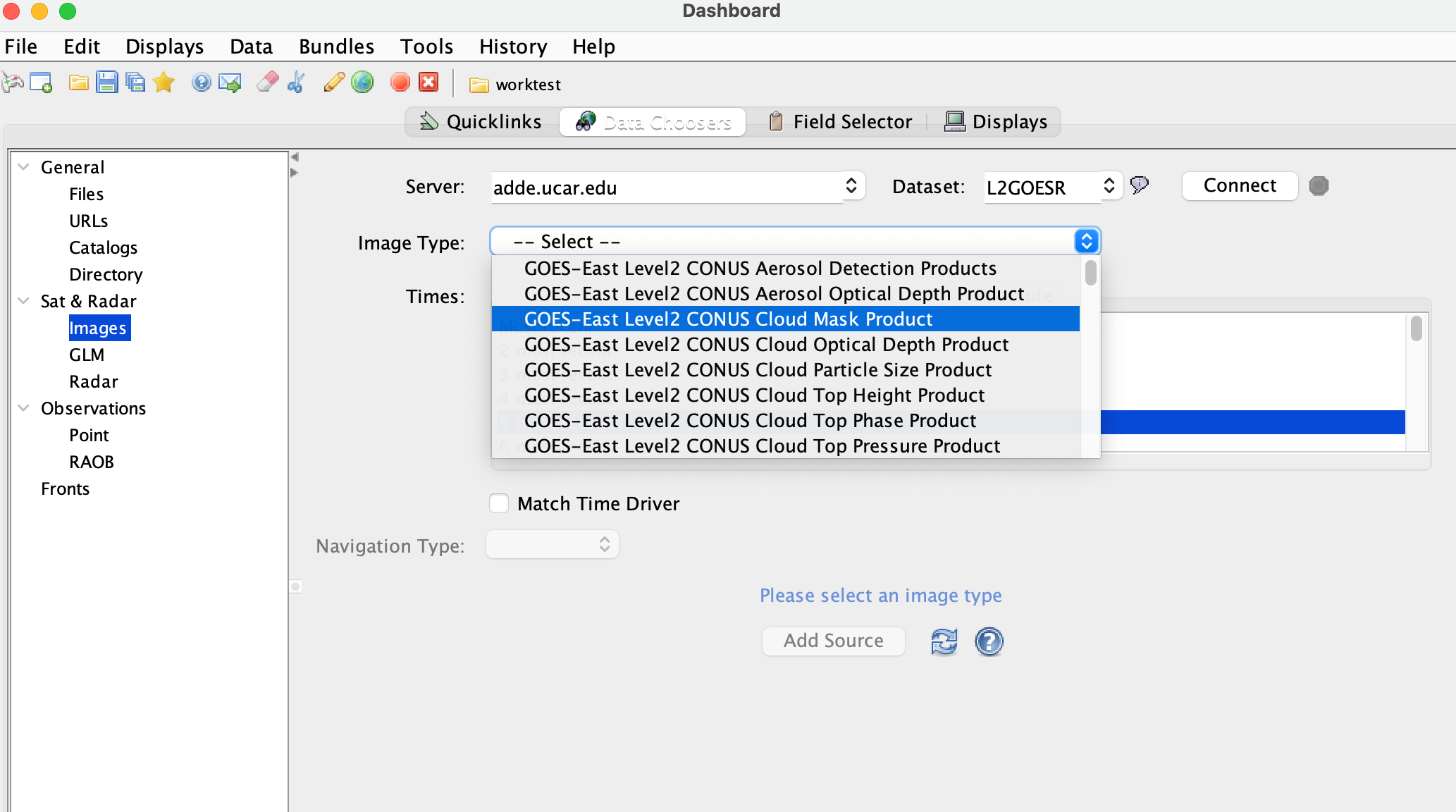
And, more level2 products are available on our added server. (see attached)
Yuan
Ticket Details
===================
Ticket ID: HTP-148933
Department: Support IDV
Priority: Normal
Status: Open
===================
NOTE: All email exchanges with Unidata User Support are recorded in the Unidata
inquiry tracking system and then made publicly available through the web. If
you do not want to have your interactions made available in this way, you must
let us know in each email you send to us.
Attachment:
Screen Shot 2022-03-08 at 11.34.29 AM.png
Description: PNG image