PROJ = STR/90;-105;0
GRDAREA = -21;-150;-21;30
KXKY = 800;800
GRDNAM = irsat
GDFILE = nhem_sat.gem
GLEVEL = 0
GVCORD = none
GDATTIM =
CPYFIL =
MAXGRD = 200
IMGTIM = last
CALIMG = no
IMGFIL = NHEMMULTI_IR
GEMPAK-IMG2GD>r
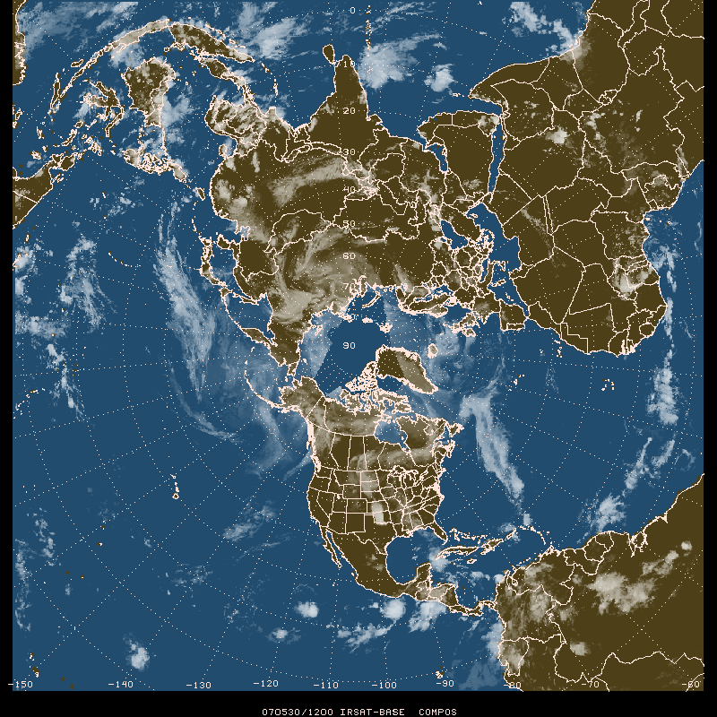
satellite image date/time 070530/1200
- Use IRSAT values where brightness value is greater than 112 (eg 113 to 255, or colder than 0C). Subtract 112 from pixel values to produce values from 1 to 143 and set remaining values to 1.
- Create a 0/1 boolean grid of land/sea.
- Multiply the boolean 1/0 grid by 143 and add to the transformed IRSAT values as above.
- The result is a grid of values ranging from 1 to 143 over land and 144 to 286 over the ocean.
- Store the image as a gini image (Polar Stereographic projection 800 x 800).
- Use a calibration range for band 10 for colors 0 to 94 representing pixel values 0 to 286.
    GDATTIM  = last
    GDFILE   = nhem_sat.gem
    GLEVEL   = 0
    GVCORD   = none
    SCALE    = 0
    GFUNC    = add(mul(bool(sea),143),miss(sub(sle(sgt(irsat,112),255),112),1))
    PROJ     = STR/90;-105;0
    GRDAREA  = -21;-150;-21;30
    KXKY     = 800;800
    CPYFIL   =
    SATFIL   = COMP_YYYYMMDD_HHNN
    CALINFO  = 99/10/SAT,0,94,0,286
    WMOHDR   = TICZ99/CHIZ/
    GEMPAK-GD2IMG>r
IRSAT-BASE COMPOS 0 94 11 2**9 1 upc_t_s.tbl
    MAP      = 1
    GAREA    = dset
    PROJ     = sat
    SATFIL   = COMP_20070530_1200
    LUTFIL   = upc_t_s.tbl